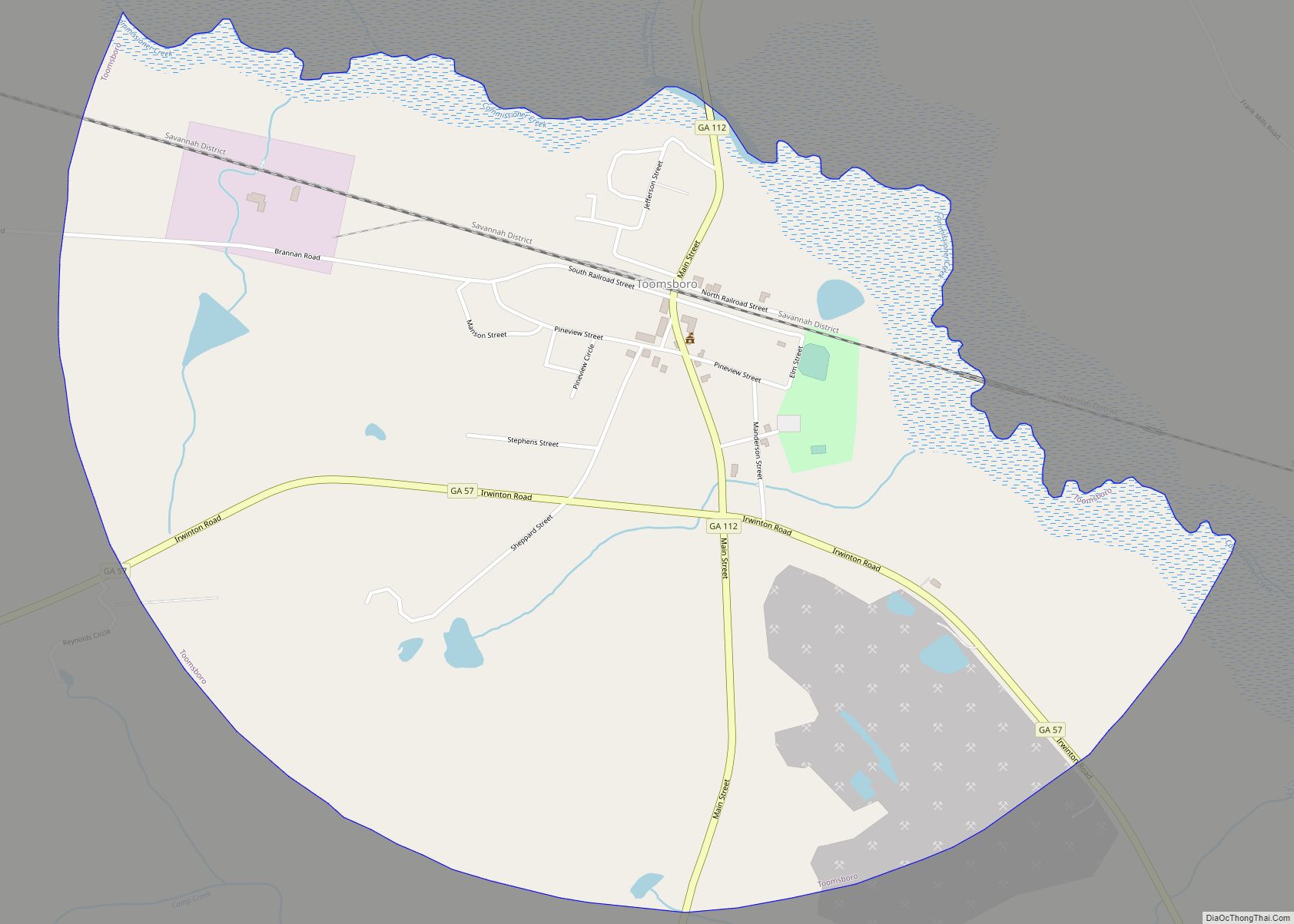
Toomsboro is a town in Wilkinson County, Georgia, United States. The population was 472 at the 2010 census.
| Name: | Toomsboro city |
|---|---|
| LSAD Code: | 25 |
| LSAD Description: | city (suffix) |
| State: | Georgia |
| County: | Wilkinson County |
| Elevation: | 233 ft (71 m) |
| Total Area: | 1.86 sq mi (4.82 km²) |
| Land Area: | 1.86 sq mi (4.82 km²) |
| Water Area: | 0.00 sq mi (0.00 km²) |
| Total Population: | 383 |
| Population Density: | 205.69/sq mi (79.43/km²) |
| ZIP code: | 31090 |
| Area code: | 478 |
| FIPS code: | 1376952 |
| GNISfeature ID: | 0324226 |
Online Interactive Map
Click on ![]() to view map in "full screen" mode.
to view map in "full screen" mode.
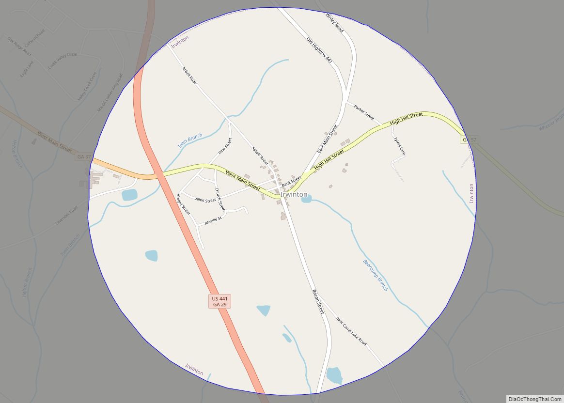
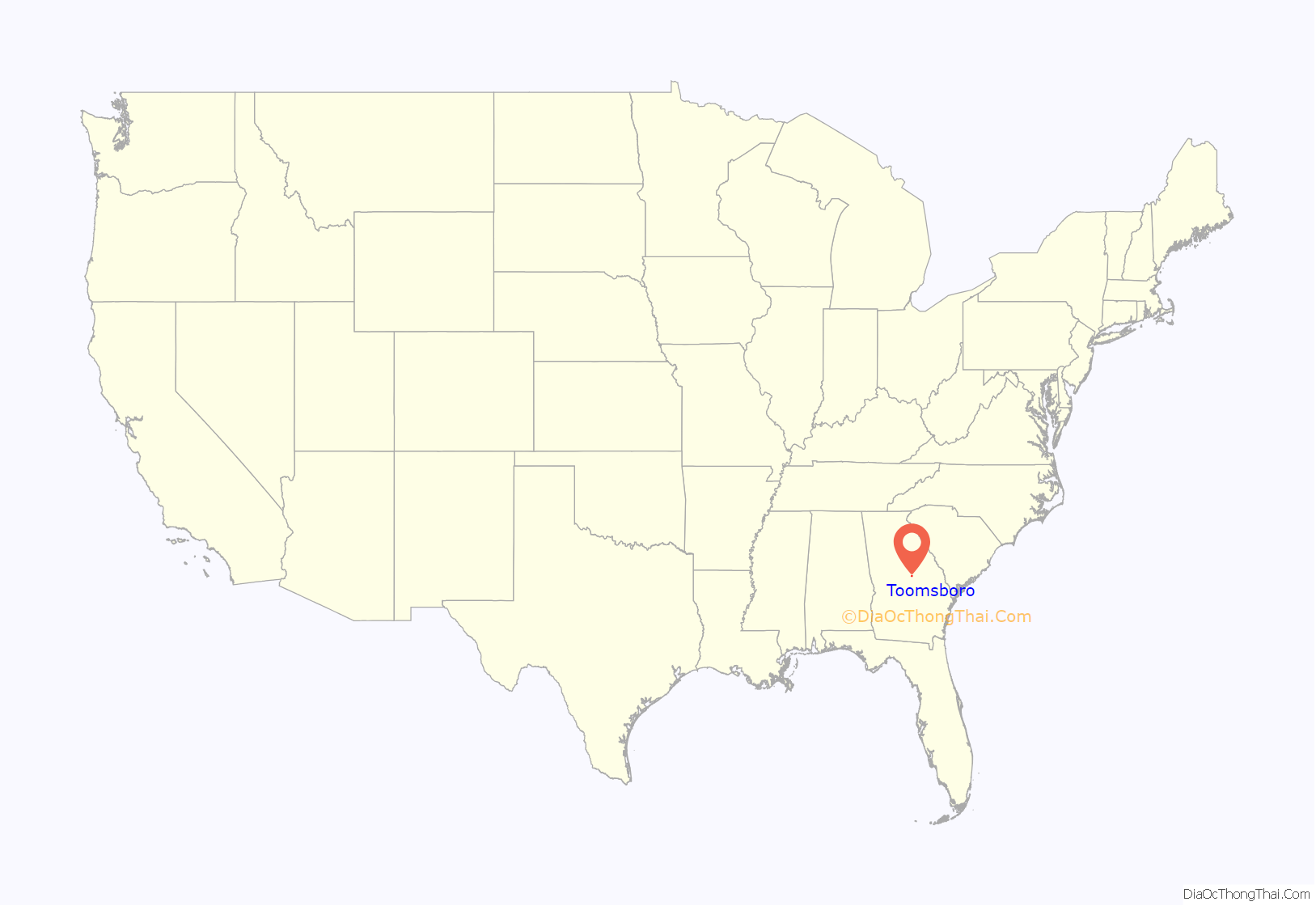
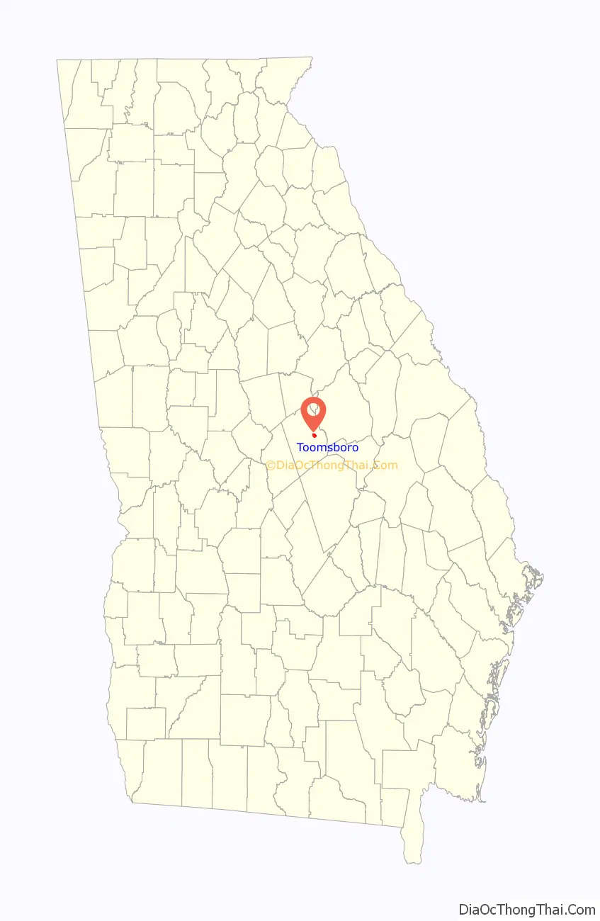
Toomsboro location map. Where is Toomsboro city?
History
Toomsboro was founded when the Central of Georgia Railway was extended to that point. Its railroad terminal was built in 1869.
On August 30, 1871, Matthew Deason, a white man, and an African American woman who was possibly his wife, Serena Dul Cat C. Johnson (Georgia Marriages 1699–1944 in Wilkinson County Georgia) were lynched in Toomsboro by members of the Ku Klux Klan. Deason, a former Confederate soldier, was the elected sheriff of Wilkinson County. It was the first documented lynching of a black woman in Georgia after the Civil War.
The Georgia General Assembly incorporated Toomsboro as a town in 1904. The community is named for 18th-century Georgia politician Robert Toombs.
Freedom, Georgia
David Bumgardner, a developer who bought properties at auction, intended to turn the property he owned into a quaint tourist destination. In April 2012, Bumgardner and Bill Lucado, who also owned property, announced they were seeking a buyer for the properties by advertising “Toomsboro for sale” although the existing community of Toomsboro maintains its own identity. They suggested a movie production company might be interested in using Toomsboro as a film set. In September 2018, 36 pieces of property over 40 acres (16 ha) went up for sale for an asking price of $1.7 million, with an eye toward a preservation-minded buyer “who appreciates its history”. In the aftermath of the murder of Ahmaud Arbery in 2020, 19 families cooperatively bought 96.71 acres (39.14 ha) of land in Toomsboro to establish a Black community “where all Black people feel safe without fear of being murdered for who they are”. The Freedom Georgia Initiative promotes the new community as Freedom, Georgia.
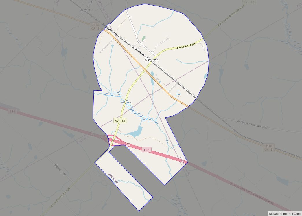
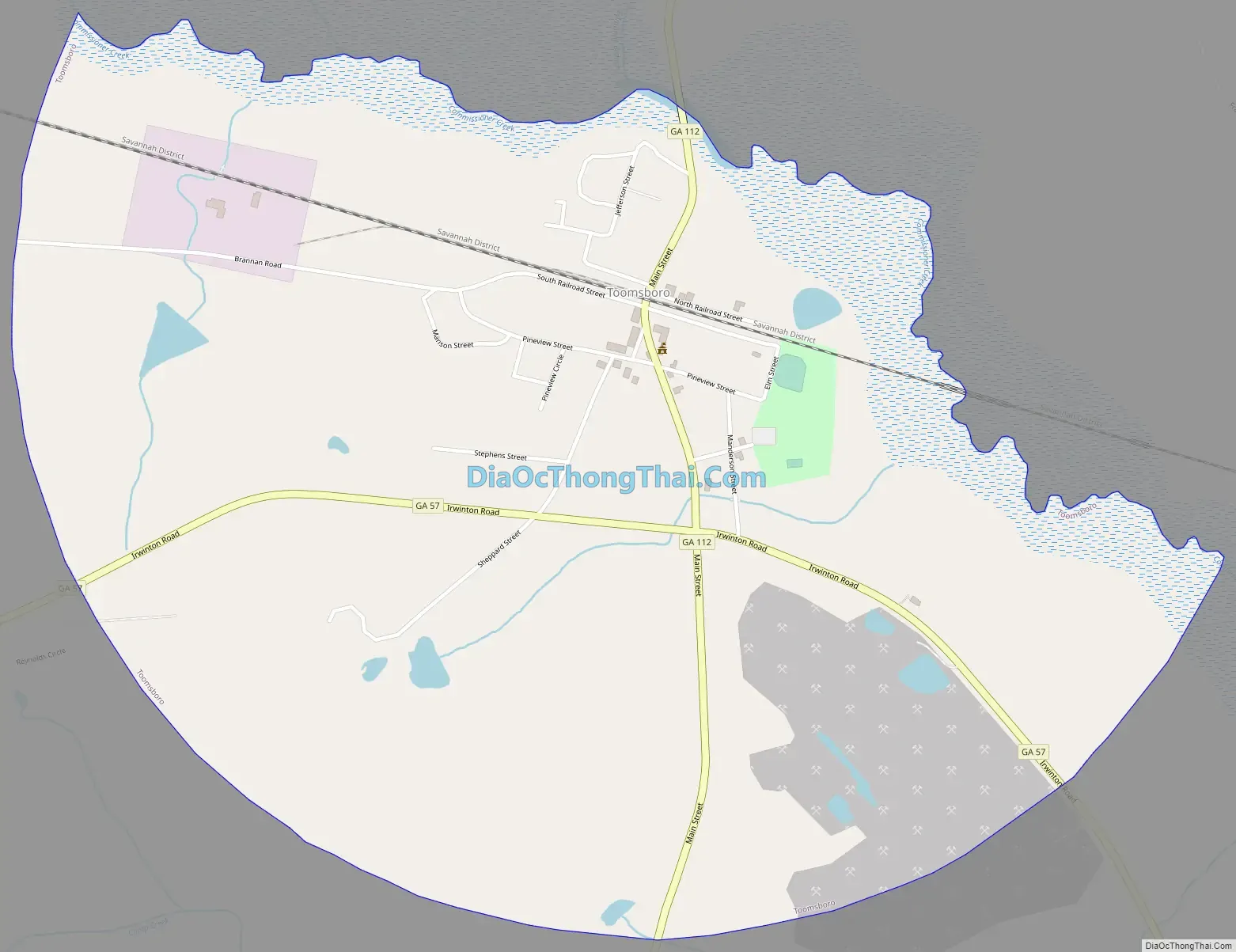
Toomsboro Road Map
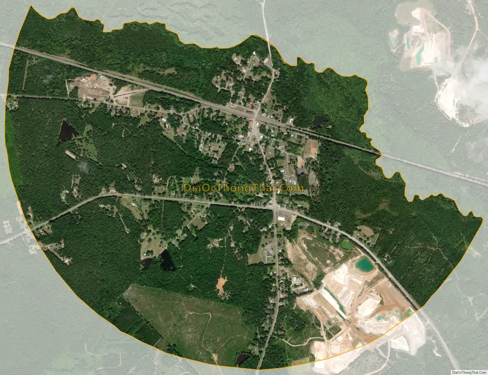
Toomsboro city Satellite Map
Geography
Toomsboro is located at 32°49′32″N 83°5′0″W / 32.82556°N 83.08333°W / 32.82556; -83.08333 (32.825423, -83.083196).
According to the United States Census Bureau, the town has a total area of 1.9 square miles (4.9 km), all land.
See also
Map of Georgia State and its subdivision:- Appling
- Atkinson
- Bacon
- Baker
- Baldwin
- Banks
- Barrow
- Bartow
- Ben Hill
- Berrien
- Bibb
- Bleckley
- Brantley
- Brooks
- Bryan
- Bulloch
- Burke
- Butts
- Calhoun
- Camden
- Candler
- Carroll
- Catoosa
- Charlton
- Chatham
- Chattahoochee
- Chattooga
- Cherokee
- Clarke
- Clay
- Clayton
- Clinch
- Cobb
- Coffee
- Colquitt
- Columbia
- Cook
- Coweta
- Crawford
- Crisp
- Dade
- Dawson
- Decatur
- DeKalb
- Dodge
- Dooly
- Dougherty
- Douglas
- Early
- Echols
- Effingham
- Elbert
- Emanuel
- Evans
- Fannin
- Fayette
- Floyd
- Forsyth
- Franklin
- Fulton
- Gilmer
- Glascock
- Glynn
- Gordon
- Grady
- Greene
- Gwinnett
- Habersham
- Hall
- Hancock
- Haralson
- Harris
- Hart
- Heard
- Henry
- Houston
- Irwin
- Jackson
- Jasper
- Jeff Davis
- Jefferson
- Jenkins
- Johnson
- Jones
- Lamar
- Lanier
- Laurens
- Lee
- Liberty
- Lincoln
- Long
- Lowndes
- Lumpkin
- Macon
- Madison
- Marion
- McDuffie
- McIntosh
- Meriwether
- Miller
- Mitchell
- Monroe
- Montgomery
- Morgan
- Murray
- Muscogee
- Newton
- Oconee
- Oglethorpe
- Paulding
- Peach
- Pickens
- Pierce
- Pike
- Polk
- Pulaski
- Putnam
- Quitman
- Rabun
- Randolph
- Richmond
- Rockdale
- Schley
- Screven
- Seminole
- Spalding
- Stephens
- Stewart
- Sumter
- Talbot
- Taliaferro
- Tattnall
- Taylor
- Telfair
- Terrell
- Thomas
- Tift
- Toombs
- Towns
- Treutlen
- Troup
- Turner
- Twiggs
- Union
- Upson
- Walker
- Walton
- Ware
- Warren
- Washington
- Wayne
- Webster
- Wheeler
- White
- Whitfield
- Wilcox
- Wilkes
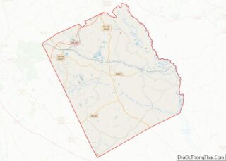
- Wilkinson
- Worth
- Alabama
- Alaska
- Arizona
- Arkansas
- California
- Colorado
- Connecticut
- Delaware
- District of Columbia
- Florida
- Georgia
- Hawaii
- Idaho
- Illinois
- Indiana
- Iowa
- Kansas
- Kentucky
- Louisiana
- Maine
- Maryland
- Massachusetts
- Michigan
- Minnesota
- Mississippi
- Missouri
- Montana
- Nebraska
- Nevada
- New Hampshire
- New Jersey
- New Mexico
- New York
- North Carolina
- North Dakota
- Ohio
- Oklahoma
- Oregon
- Pennsylvania
- Rhode Island
- South Carolina
- South Dakota
- Tennessee
- Texas
- Utah
- Vermont
- Virginia
- Washington
- West Virginia
- Wisconsin
- Wyoming