Trion is a town in Chattooga County, Georgia, United States. The population was 1,960 at the 2020 census, down from 1,827 at the 2010 census. Trion is the second-largest incorporated community in Chattooga County, which has a population of approximately 26,000. Trion is known as the denim capital of the world because of the Mount Vernon (formerly Riegel) manufacturing plant, which employs about 4,000 people.
| Name: | Trion town |
|---|---|
| LSAD Code: | 43 |
| LSAD Description: | town (suffix) |
| State: | Georgia |
| County: | Chattooga County |
| Elevation: | 659 ft (201 m) |
| Total Area: | 4.07 sq mi (10.54 km²) |
| Land Area: | 4.06 sq mi (10.51 km²) |
| Water Area: | 0.01 sq mi (0.03 km²) |
| Total Population: | 1,960 |
| Population Density: | 482.88/sq mi (186.45/km²) |
| ZIP code: | 30753 |
| Area code: | 706/762 |
| FIPS code: | 1377540 |
| GNISfeature ID: | 0333265 |
| Website: | www.townoftrion.net |
Online Interactive Map
Click on ![]() to view map in "full screen" mode.
to view map in "full screen" mode.
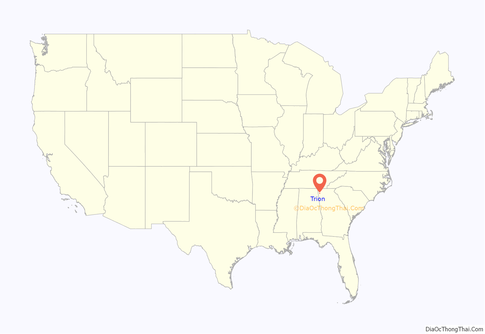
Trion location map. Where is Trion town?
History
Trion had its start in the 1840s when the Trion Mills cotton mill was established there. A post office called Trion Factory opened in 1847, and in 1904 the name was changed to Trion. The name “Trion” was chosen by the mill’s three founders (Andrew Allgood, Spencer Marsh, and W.K. Briers) as a way to commemorate their partnership. The Georgia General Assembly incorporated Trion as a town in 1862.
Though the mill burned in 1875, it was eventually rebuilt, and evolved into what is now the Mount Vernon Mill No. 3.
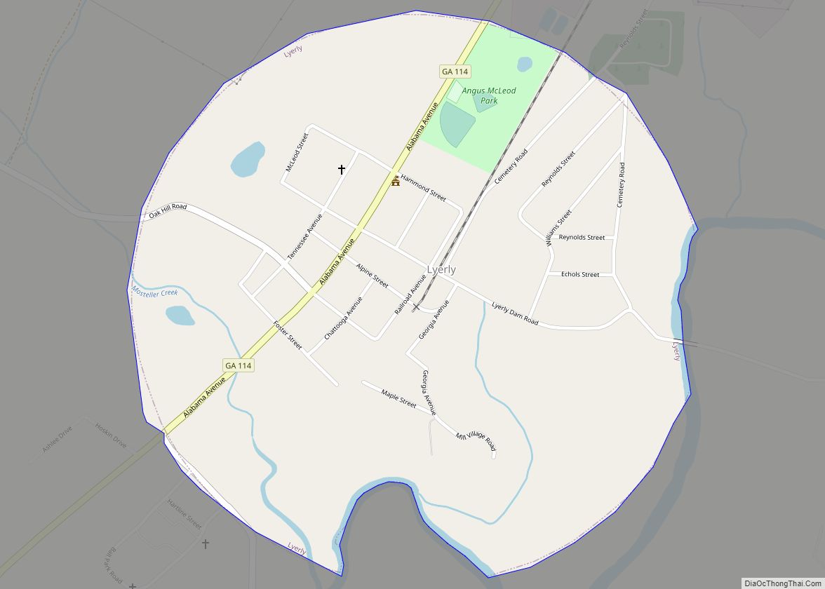
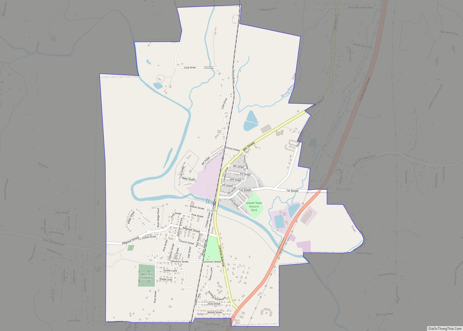
Trion Road Map
Trion city Satellite Map
Geography
Trion is located in northern Chattooga County. U.S. Route 27 passes through the eastern part of the town, leading south 5 miles (8 km) to Summerville, the county seat, and north 12 miles (19 km) to LaFayette.
According to the United States Census Bureau, Trion has a total area of 3.9 square miles (10.0 km), of which 0.012 square miles (0.03 km), or 0.32%, is water. The Chattooga River, a tributary of the Coosa River, flows through the town.
See also
Map of Georgia State and its subdivision:- Appling
- Atkinson
- Bacon
- Baker
- Baldwin
- Banks
- Barrow
- Bartow
- Ben Hill
- Berrien
- Bibb
- Bleckley
- Brantley
- Brooks
- Bryan
- Bulloch
- Burke
- Butts
- Calhoun
- Camden
- Candler
- Carroll
- Catoosa
- Charlton
- Chatham
- Chattahoochee
- Chattooga
- Cherokee
- Clarke
- Clay
- Clayton
- Clinch
- Cobb
- Coffee
- Colquitt
- Columbia
- Cook
- Coweta
- Crawford
- Crisp
- Dade
- Dawson
- Decatur
- DeKalb
- Dodge
- Dooly
- Dougherty
- Douglas
- Early
- Echols
- Effingham
- Elbert
- Emanuel
- Evans
- Fannin
- Fayette
- Floyd
- Forsyth
- Franklin
- Fulton
- Gilmer
- Glascock
- Glynn
- Gordon
- Grady
- Greene
- Gwinnett
- Habersham
- Hall
- Hancock
- Haralson
- Harris
- Hart
- Heard
- Henry
- Houston
- Irwin
- Jackson
- Jasper
- Jeff Davis
- Jefferson
- Jenkins
- Johnson
- Jones
- Lamar
- Lanier
- Laurens
- Lee
- Liberty
- Lincoln
- Long
- Lowndes
- Lumpkin
- Macon
- Madison
- Marion
- McDuffie
- McIntosh
- Meriwether
- Miller
- Mitchell
- Monroe
- Montgomery
- Morgan
- Murray
- Muscogee
- Newton
- Oconee
- Oglethorpe
- Paulding
- Peach
- Pickens
- Pierce
- Pike
- Polk
- Pulaski
- Putnam
- Quitman
- Rabun
- Randolph
- Richmond
- Rockdale
- Schley
- Screven
- Seminole
- Spalding
- Stephens
- Stewart
- Sumter
- Talbot
- Taliaferro
- Tattnall
- Taylor
- Telfair
- Terrell
- Thomas
- Tift
- Toombs
- Towns
- Treutlen
- Troup
- Turner
- Twiggs
- Union
- Upson
- Walker
- Walton
- Ware
- Warren
- Washington
- Wayne
- Webster
- Wheeler
- White
- Whitfield
- Wilcox
- Wilkes
- Wilkinson
- Worth
- Alabama
- Alaska
- Arizona
- Arkansas
- California
- Colorado
- Connecticut
- Delaware
- District of Columbia
- Florida
- Georgia
- Hawaii
- Idaho
- Illinois
- Indiana
- Iowa
- Kansas
- Kentucky
- Louisiana
- Maine
- Maryland
- Massachusetts
- Michigan
- Minnesota
- Mississippi
- Missouri
- Montana
- Nebraska
- Nevada
- New Hampshire
- New Jersey
- New Mexico
- New York
- North Carolina
- North Dakota
- Ohio
- Oklahoma
- Oregon
- Pennsylvania
- Rhode Island
- South Carolina
- South Dakota
- Tennessee
- Texas
- Utah
- Vermont
- Virginia
- Washington
- West Virginia
- Wisconsin
- Wyoming
