Bostwick is a town in Morgan County, Georgia, United States. As of the 2020 census, the city had a population of 378.
| Name: | Bostwick city |
|---|---|
| LSAD Code: | 25 |
| LSAD Description: | city (suffix) |
| State: | Georgia |
| County: | Morgan County |
| Elevation: | 761 ft (232 m) |
| Total Area: | 2.92 sq mi (7.56 km²) |
| Land Area: | 2.90 sq mi (7.52 km²) |
| Water Area: | 0.01 sq mi (0.04 km²) |
| Total Population: | 378 |
| Population Density: | 130.12/sq mi (50.23/km²) |
| ZIP code: | 30623 |
| Area code: | 706 |
| FIPS code: | 1309488 |
| GNISfeature ID: | 0331211 |
| Website: | bostwickga.com |
Online Interactive Map
Click on ![]() to view map in "full screen" mode.
to view map in "full screen" mode.
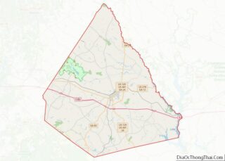
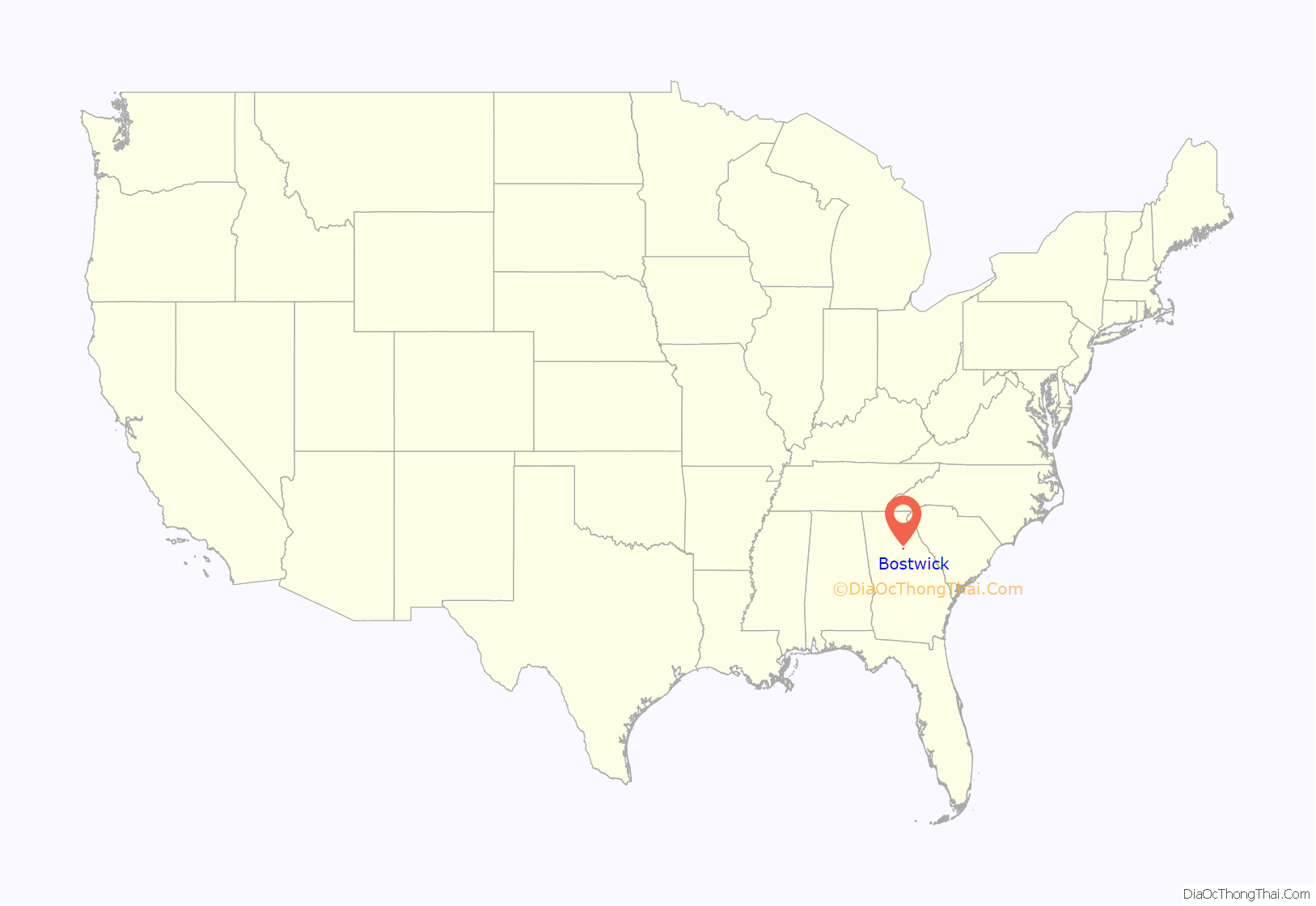
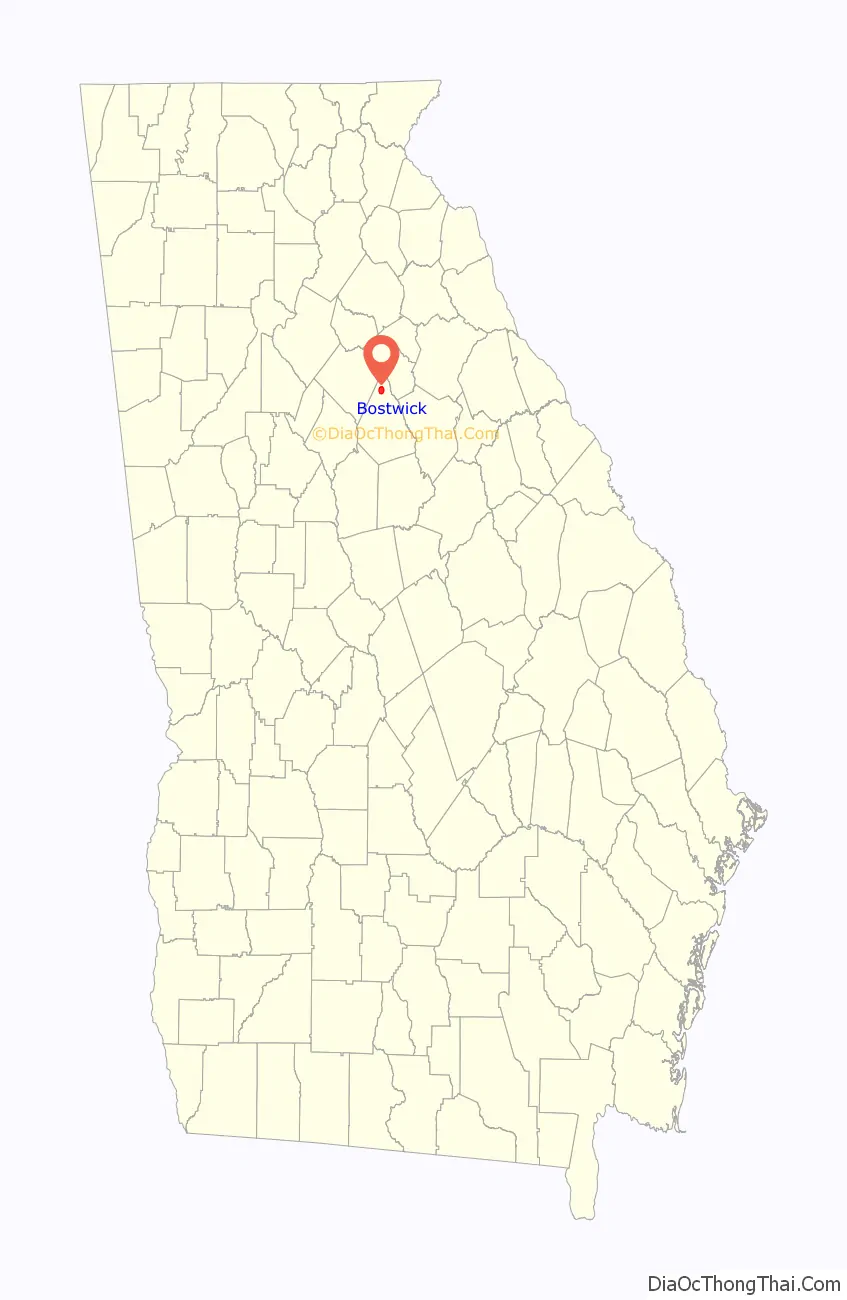
Bostwick location map. Where is Bostwick city?
History
Bostwick was incorporated by the Georgia General Assembly in 1902. The community was named in honor of John Bostwick, a founding resident.
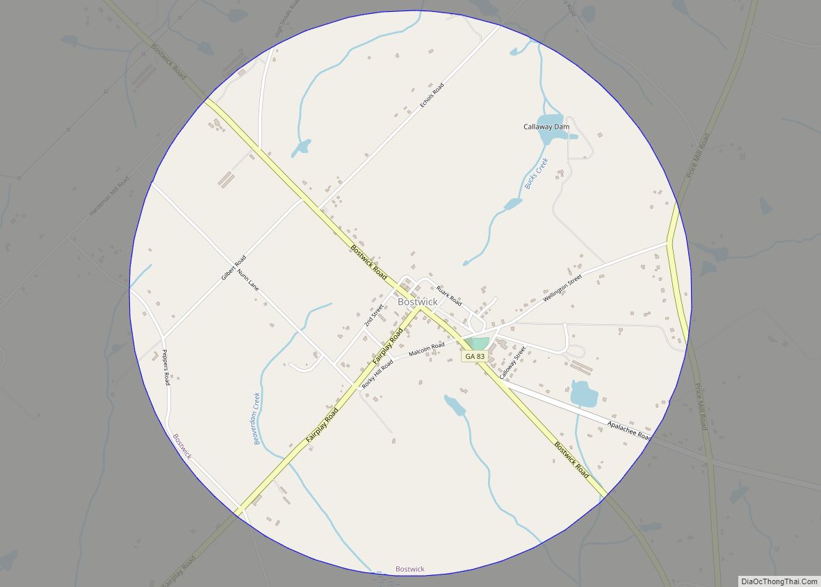
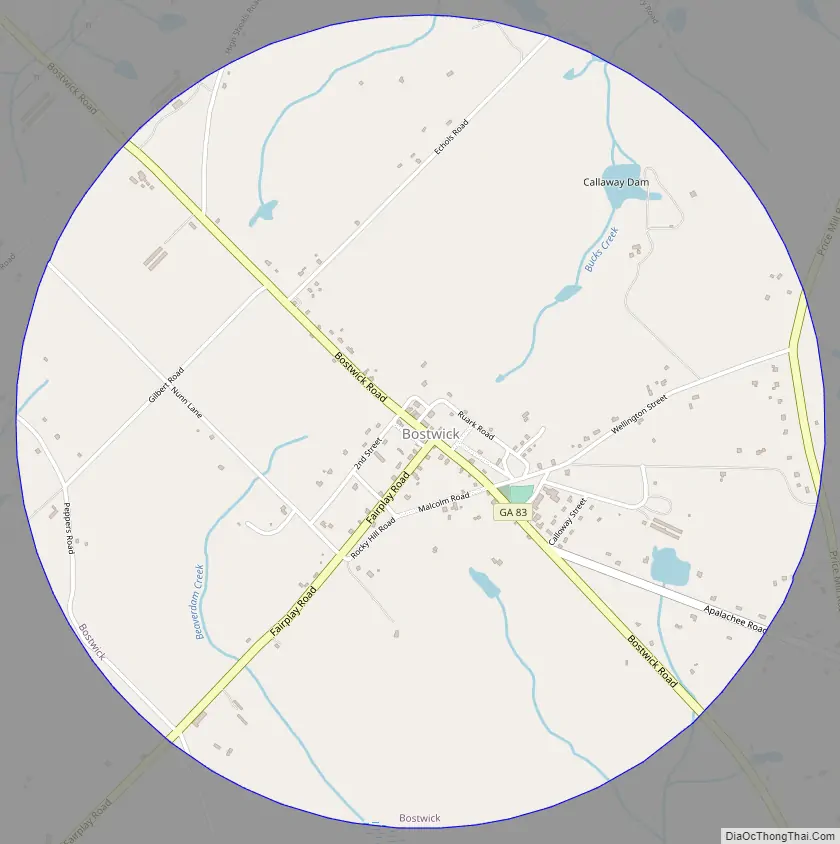
Bostwick Road Map
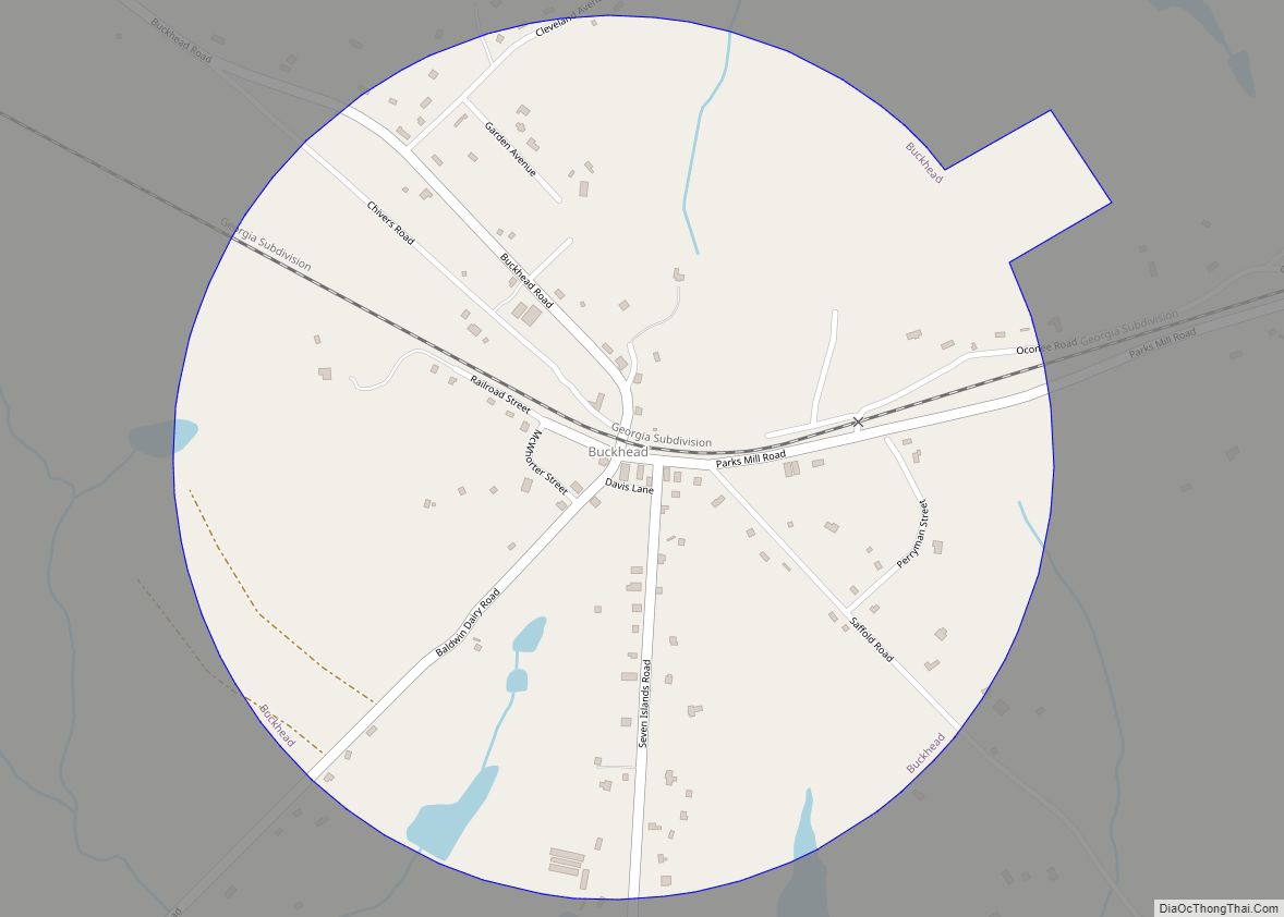
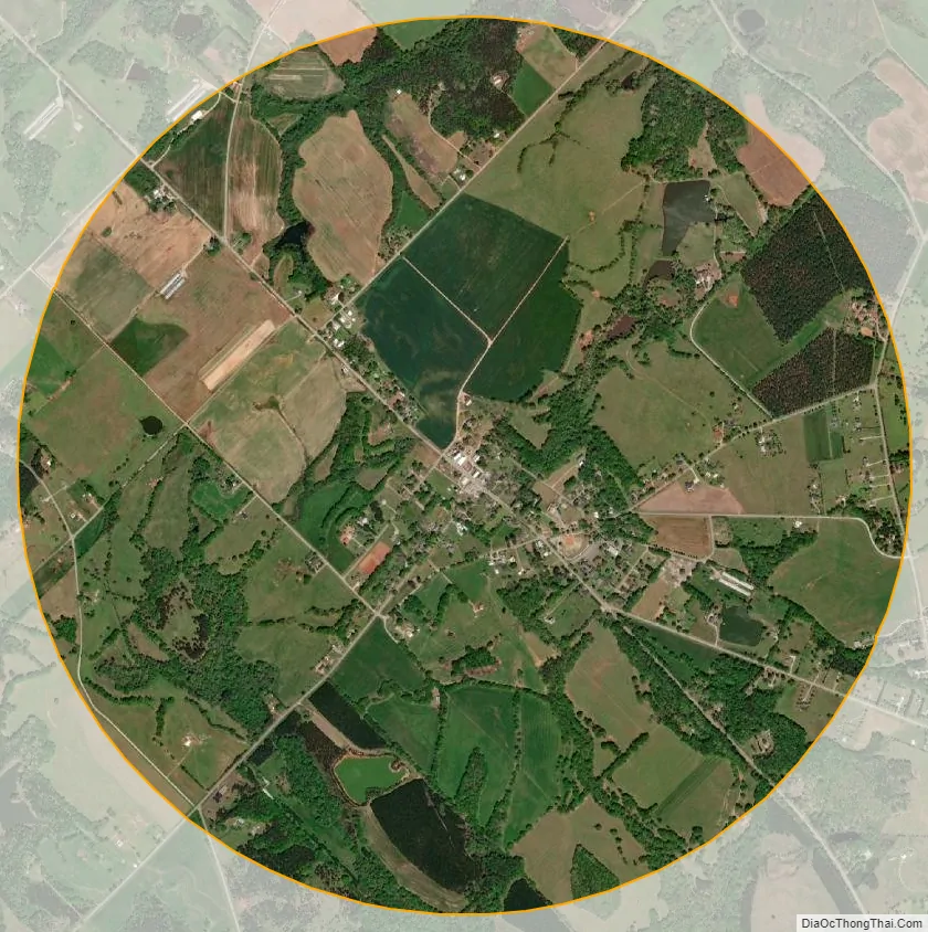
Bostwick city Satellite Map
Geography
Bostwick is located in northern Morgan County at 33°44′14″N 83°30′54″W / 33.73722°N 83.51500°W / 33.73722; -83.51500 (33.737220, -83.514957). Georgia State Route 83 passes through the town, leading south 10 miles (16 km) to Madison, the county seat, and northwest 13 miles (21 km) to Monroe.
According to the United States Census Bureau, the town has a total area of 2.9 square miles (7.5 km), of which 0.02 square miles (0.05 km), or 0.51%, is water. Bostwick is drained to the north by Bucks Creek, a tributary of Jacks Creek, and to the south by Beaverdam Creek, a tributary of Big Sandy Creek. The entire town is part of the Apalachee River watershed, flowing to the Oconee River.
See also
Map of Georgia State and its subdivision:- Appling
- Atkinson
- Bacon
- Baker
- Baldwin
- Banks
- Barrow
- Bartow
- Ben Hill
- Berrien
- Bibb
- Bleckley
- Brantley
- Brooks
- Bryan
- Bulloch
- Burke
- Butts
- Calhoun
- Camden
- Candler
- Carroll
- Catoosa
- Charlton
- Chatham
- Chattahoochee
- Chattooga
- Cherokee
- Clarke
- Clay
- Clayton
- Clinch
- Cobb
- Coffee
- Colquitt
- Columbia
- Cook
- Coweta
- Crawford
- Crisp
- Dade
- Dawson
- Decatur
- DeKalb
- Dodge
- Dooly
- Dougherty
- Douglas
- Early
- Echols
- Effingham
- Elbert
- Emanuel
- Evans
- Fannin
- Fayette
- Floyd
- Forsyth
- Franklin
- Fulton
- Gilmer
- Glascock
- Glynn
- Gordon
- Grady
- Greene
- Gwinnett
- Habersham
- Hall
- Hancock
- Haralson
- Harris
- Hart
- Heard
- Henry
- Houston
- Irwin
- Jackson
- Jasper
- Jeff Davis
- Jefferson
- Jenkins
- Johnson
- Jones
- Lamar
- Lanier
- Laurens
- Lee
- Liberty
- Lincoln
- Long
- Lowndes
- Lumpkin
- Macon
- Madison
- Marion
- McDuffie
- McIntosh
- Meriwether
- Miller
- Mitchell
- Monroe
- Montgomery
- Morgan
- Murray
- Muscogee
- Newton
- Oconee
- Oglethorpe
- Paulding
- Peach
- Pickens
- Pierce
- Pike
- Polk
- Pulaski
- Putnam
- Quitman
- Rabun
- Randolph
- Richmond
- Rockdale
- Schley
- Screven
- Seminole
- Spalding
- Stephens
- Stewart
- Sumter
- Talbot
- Taliaferro
- Tattnall
- Taylor
- Telfair
- Terrell
- Thomas
- Tift
- Toombs
- Towns
- Treutlen
- Troup
- Turner
- Twiggs
- Union
- Upson
- Walker
- Walton
- Ware
- Warren
- Washington
- Wayne
- Webster
- Wheeler
- White
- Whitfield
- Wilcox
- Wilkes
- Wilkinson
- Worth
- Alabama
- Alaska
- Arizona
- Arkansas
- California
- Colorado
- Connecticut
- Delaware
- District of Columbia
- Florida
- Georgia
- Hawaii
- Idaho
- Illinois
- Indiana
- Iowa
- Kansas
- Kentucky
- Louisiana
- Maine
- Maryland
- Massachusetts
- Michigan
- Minnesota
- Mississippi
- Missouri
- Montana
- Nebraska
- Nevada
- New Hampshire
- New Jersey
- New Mexico
- New York
- North Carolina
- North Dakota
- Ohio
- Oklahoma
- Oregon
- Pennsylvania
- Rhode Island
- South Carolina
- South Dakota
- Tennessee
- Texas
- Utah
- Vermont
- Virginia
- Washington
- West Virginia
- Wisconsin
- Wyoming