Boykin is an unincorporated community and census-designated place (CDP) in Miller County, Georgia, United States. As of the 2020 census it had a population of 151.
| Name: | Boykin CDP |
|---|---|
| LSAD Code: | 57 |
| LSAD Description: | CDP (suffix) |
| State: | Georgia |
| County: | Miller County |
| Elevation: | 136 ft (41 m) |
| Total Area: | 2.425 sq mi (6.28 km²) |
| Land Area: | 2.421 sq mi (6.27 km²) |
| Water Area: | 0.004 sq mi (0.01 km²) |
| Total Population: | 151 |
| Population Density: | 62.37/sq mi (24.08/km²) |
| ZIP code: | 39837 (Colquitt) |
| Area code: | 229 |
| FIPS code: | 1309852 |
| GNISfeature ID: | 0311690 |
Online Interactive Map
Click on ![]() to view map in "full screen" mode.
to view map in "full screen" mode.
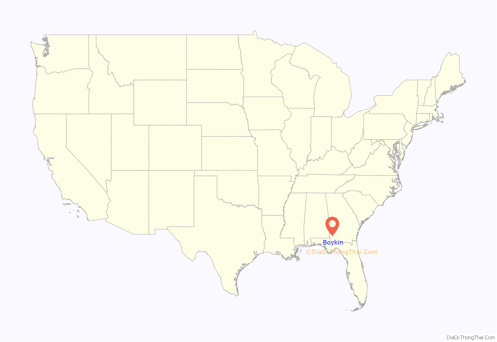
Boykin location map. Where is Boykin CDP?
History
The community most likely was named after Guilford A. Boyken, Sr., an early settler. A post office called Boykin was established in 1897 and remained in operation until 1932.
The Georgia General Assembly incorporated the place as the “Town of Boykin” in 1903. The town’s charter was dissolved in 1995.
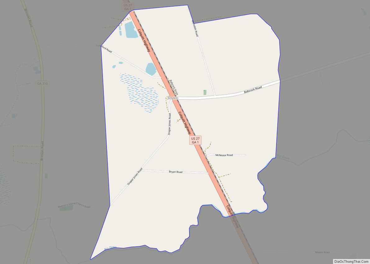
Boykin Road Map
Boykin city Satellite Map
Geography
Boykin is located along U.S. Route 27 in southern Miller County, 5 miles (8 km) southeast of Colquitt, the county seat, and 16 miles (26 km) northwest of Bainbridge. The CDP is bordered to the south by Big Drain, which flows west to Spring Creek, which continues south to Lake Seminole near the confluence of the Flint and Chattahoochee rivers to form the Apalachicola River.
According to the U.S. Census Bureau, the Boykin CDP has a total area of 2.4 square miles (6.2 km), of which 0.004 square miles (2.6 acres), or 0.16%, are water.
See also
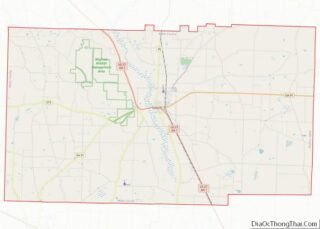
Map of Georgia State and its subdivision:- Appling
- Atkinson
- Bacon
- Baker
- Baldwin
- Banks
- Barrow
- Bartow
- Ben Hill
- Berrien
- Bibb
- Bleckley
- Brantley
- Brooks
- Bryan
- Bulloch
- Burke
- Butts
- Calhoun
- Camden
- Candler
- Carroll
- Catoosa
- Charlton
- Chatham
- Chattahoochee
- Chattooga
- Cherokee
- Clarke
- Clay
- Clayton
- Clinch
- Cobb
- Coffee
- Colquitt
- Columbia
- Cook
- Coweta
- Crawford
- Crisp
- Dade
- Dawson
- Decatur
- DeKalb
- Dodge
- Dooly
- Dougherty
- Douglas
- Early
- Echols
- Effingham
- Elbert
- Emanuel
- Evans
- Fannin
- Fayette
- Floyd
- Forsyth
- Franklin
- Fulton
- Gilmer
- Glascock
- Glynn
- Gordon
- Grady
- Greene
- Gwinnett
- Habersham
- Hall
- Hancock
- Haralson
- Harris
- Hart
- Heard
- Henry
- Houston
- Irwin
- Jackson
- Jasper
- Jeff Davis
- Jefferson
- Jenkins
- Johnson
- Jones
- Lamar
- Lanier
- Laurens
- Lee
- Liberty
- Lincoln
- Long
- Lowndes
- Lumpkin
- Macon
- Madison
- Marion
- McDuffie
- McIntosh
- Meriwether
- Miller
- Mitchell
- Monroe
- Montgomery
- Morgan
- Murray
- Muscogee
- Newton
- Oconee
- Oglethorpe
- Paulding
- Peach
- Pickens
- Pierce
- Pike
- Polk
- Pulaski
- Putnam
- Quitman
- Rabun
- Randolph
- Richmond
- Rockdale
- Schley
- Screven
- Seminole
- Spalding
- Stephens
- Stewart
- Sumter
- Talbot
- Taliaferro
- Tattnall
- Taylor
- Telfair
- Terrell
- Thomas
- Tift
- Toombs
- Towns
- Treutlen
- Troup
- Turner
- Twiggs
- Union
- Upson
- Walker
- Walton
- Ware
- Warren
- Washington
- Wayne
- Webster
- Wheeler
- White
- Whitfield
- Wilcox
- Wilkes
- Wilkinson
- Worth
- Alabama
- Alaska
- Arizona
- Arkansas
- California
- Colorado
- Connecticut
- Delaware
- District of Columbia
- Florida
- Georgia
- Hawaii
- Idaho
- Illinois
- Indiana
- Iowa
- Kansas
- Kentucky
- Louisiana
- Maine
- Maryland
- Massachusetts
- Michigan
- Minnesota
- Mississippi
- Missouri
- Montana
- Nebraska
- Nevada
- New Hampshire
- New Jersey
- New Mexico
- New York
- North Carolina
- North Dakota
- Ohio
- Oklahoma
- Oregon
- Pennsylvania
- Rhode Island
- South Carolina
- South Dakota
- Tennessee
- Texas
- Utah
- Vermont
- Virginia
- Washington
- West Virginia
- Wisconsin
- Wyoming


