Fayetteville is a city in and the county seat of Fayette County, Georgia, United States. As of the 2020 census, the city had a population of 18,957, up from 15,945 at the 2010 census. Fayetteville is located 22 miles (35 km) south of downtown Atlanta.
In 2015 the city elected its first African-American mayor, Edward Johnson, a retired US navy commander and pastor. He was previously a three-term president of the NAACP and a city council member in Fayetteville.
| Name: | Fayetteville city |
|---|---|
| LSAD Code: | 25 |
| LSAD Description: | city (suffix) |
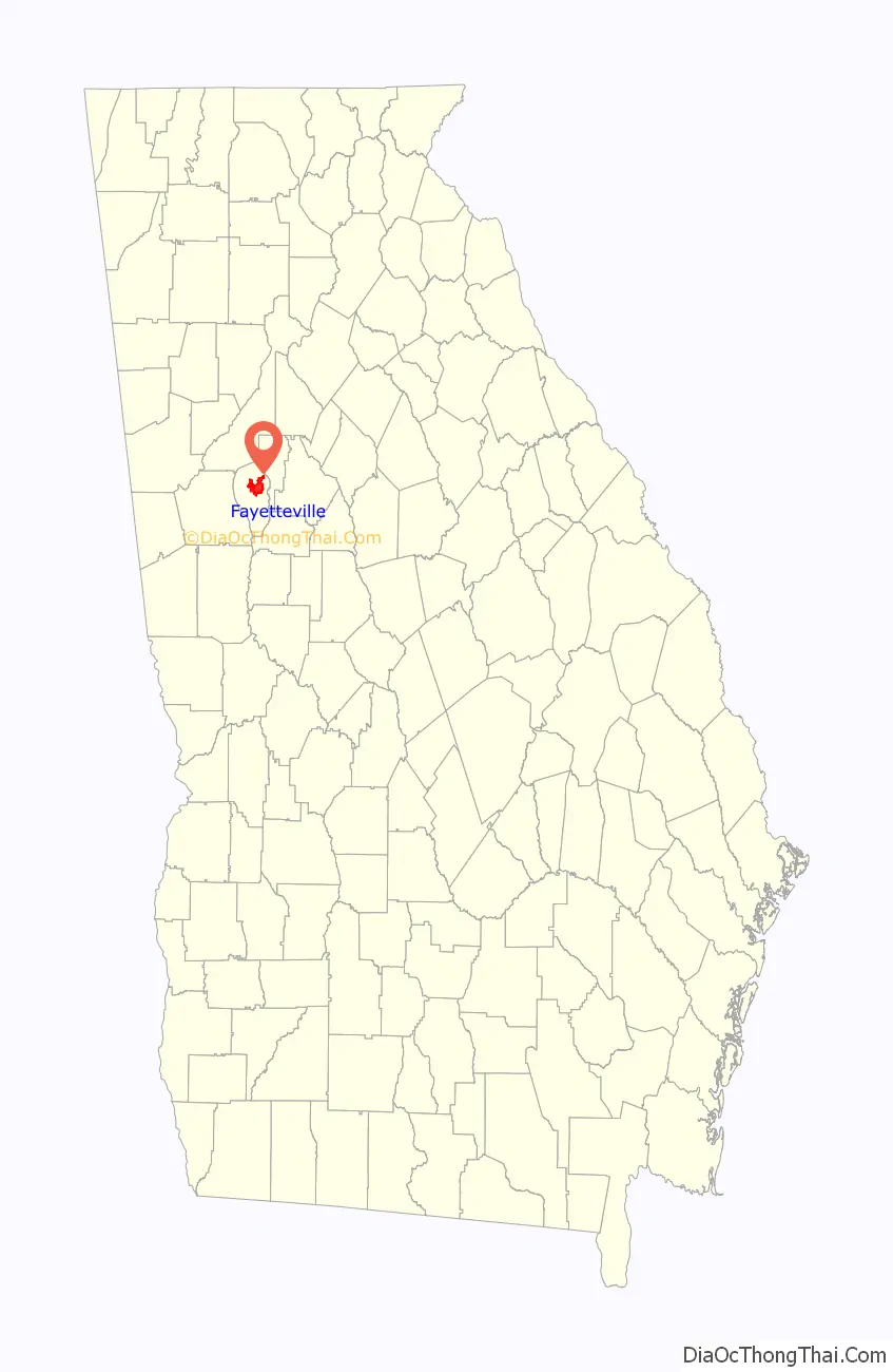
| State: | Georgia |
| County: | Fayette County |
| Elevation: | 1,030 ft (313.9 m) |
| Total Area: | 13.18 sq mi (34.14 km²) |
| Land Area: | 12.96 sq mi (33.58 km²) |
| Water Area: | 0.22 sq mi (0.56 km²) |
| Total Population: | 18,957 |
| Population Density: | 1,462.28/sq mi (564.60/km²) |
| ZIP code: | 30214-30215 |
| Area code: | 770 404, 678 |
| FIPS code: | 1328968 |
| GNISfeature ID: | 0314089 |
| Website: | www.fayetteville-ga.gov |
Online Interactive Map
Click on ![]() to view map in "full screen" mode.
to view map in "full screen" mode.
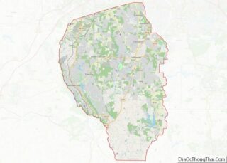
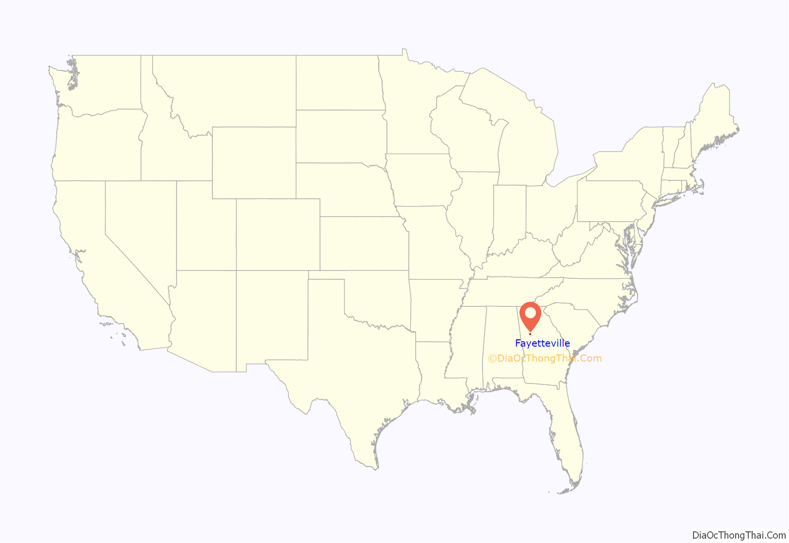
Fayetteville location map. Where is Fayetteville city?
History
Fayetteville was founded in 1822 as the seat of the newly formed Fayette County, organized by European Americans from territory ceded by force the Creek people under a treaty with the United States during the early period of Indian removal from the Southeast. Both city and county were named in honor of the Revolutionary War hero the French Marquis de Lafayette. Fayetteville was incorporated as a town in 1823 and as a city in 1902.
The area was developed for cotton plantations, with labor provided by enslaved African Americans, who for more than a century comprised the majority of the county’s population. Fayetteville became the trading town for the agricultural area.
In the first half of the 20th century, as agriculture became more mechanized, many African-American workers left the area in the Great Migration to northern and midwestern industrial cities, which had more jobs and offered less oppressive social conditions.
A reverse migration has brought new residents to the South, and the city of Fayetteville has grown markedly since 2000, as has the county. The city’s population increased from 11,148 in 2000 to 18,957 in 2020.
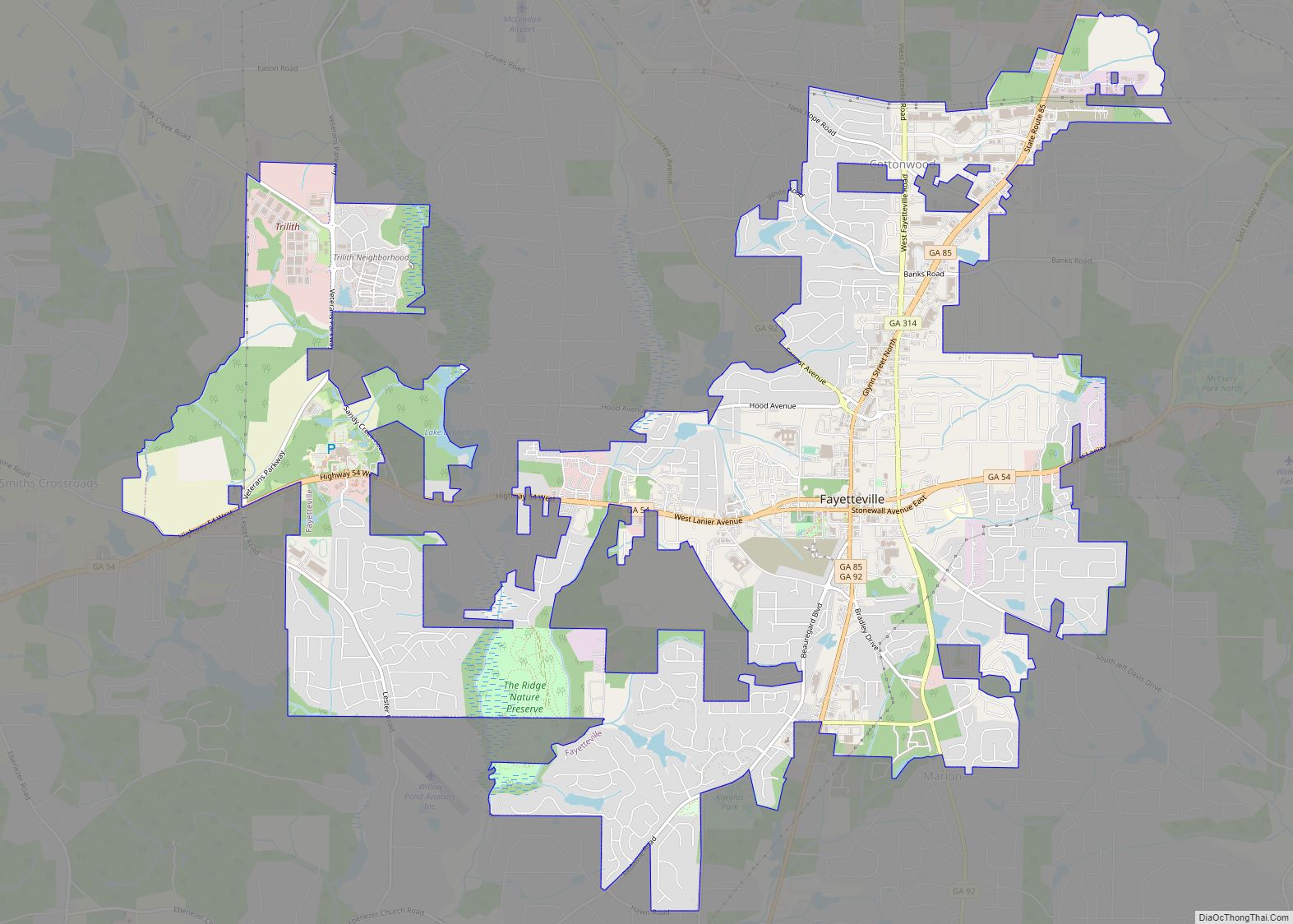
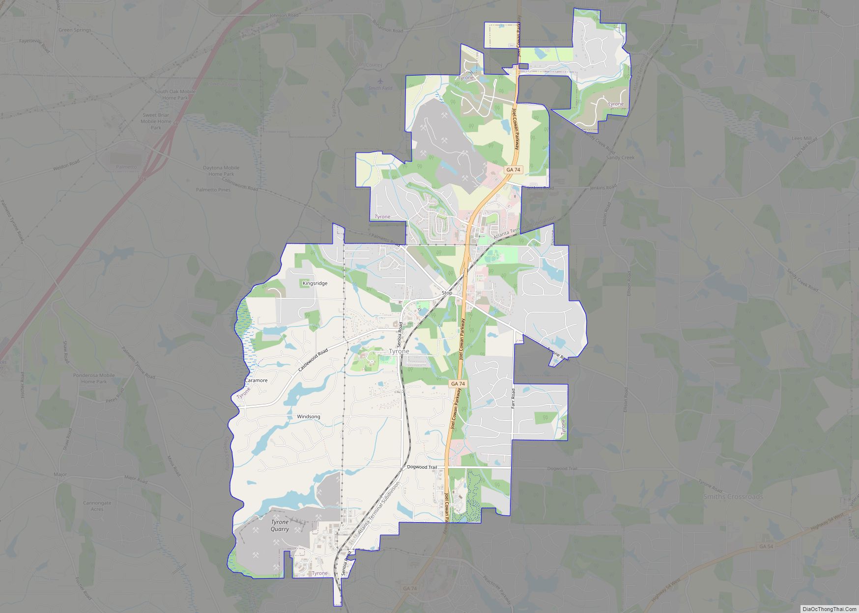
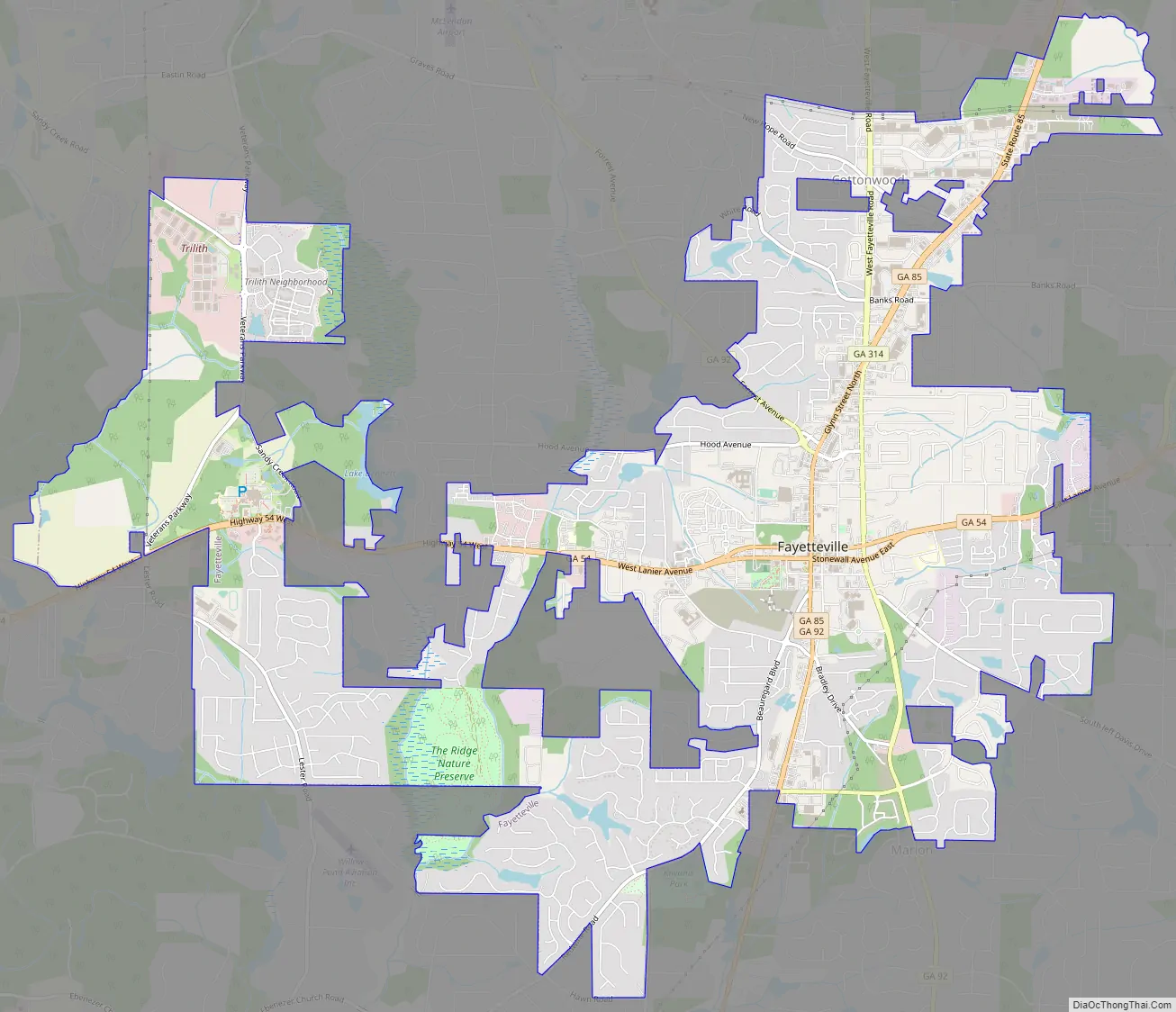
Fayetteville Road Map
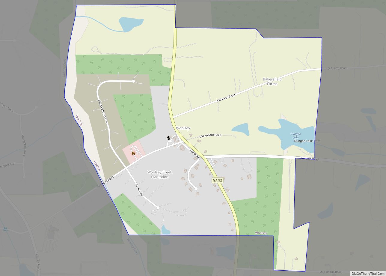
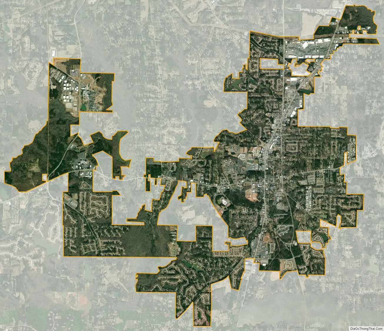
Fayetteville city Satellite Map
See also
Map of Georgia State and its subdivision:- Appling
- Atkinson
- Bacon
- Baker
- Baldwin
- Banks
- Barrow
- Bartow
- Ben Hill
- Berrien
- Bibb
- Bleckley
- Brantley
- Brooks
- Bryan
- Bulloch
- Burke
- Butts
- Calhoun
- Camden
- Candler
- Carroll
- Catoosa
- Charlton
- Chatham
- Chattahoochee
- Chattooga
- Cherokee
- Clarke
- Clay
- Clayton
- Clinch
- Cobb
- Coffee
- Colquitt
- Columbia
- Cook
- Coweta
- Crawford
- Crisp
- Dade
- Dawson
- Decatur
- DeKalb
- Dodge
- Dooly
- Dougherty
- Douglas
- Early
- Echols
- Effingham
- Elbert
- Emanuel
- Evans
- Fannin
- Fayette
- Floyd
- Forsyth
- Franklin
- Fulton
- Gilmer
- Glascock
- Glynn
- Gordon
- Grady
- Greene
- Gwinnett
- Habersham
- Hall
- Hancock
- Haralson
- Harris
- Hart
- Heard
- Henry
- Houston
- Irwin
- Jackson
- Jasper
- Jeff Davis
- Jefferson
- Jenkins
- Johnson
- Jones
- Lamar
- Lanier
- Laurens
- Lee
- Liberty
- Lincoln
- Long
- Lowndes
- Lumpkin
- Macon
- Madison
- Marion
- McDuffie
- McIntosh
- Meriwether
- Miller
- Mitchell
- Monroe
- Montgomery
- Morgan
- Murray
- Muscogee
- Newton
- Oconee
- Oglethorpe
- Paulding
- Peach
- Pickens
- Pierce
- Pike
- Polk
- Pulaski
- Putnam
- Quitman
- Rabun
- Randolph
- Richmond
- Rockdale
- Schley
- Screven
- Seminole
- Spalding
- Stephens
- Stewart
- Sumter
- Talbot
- Taliaferro
- Tattnall
- Taylor
- Telfair
- Terrell
- Thomas
- Tift
- Toombs
- Towns
- Treutlen
- Troup
- Turner
- Twiggs
- Union
- Upson
- Walker
- Walton
- Ware
- Warren
- Washington
- Wayne
- Webster
- Wheeler
- White
- Whitfield
- Wilcox
- Wilkes
- Wilkinson
- Worth
- Alabama
- Alaska
- Arizona
- Arkansas
- California
- Colorado
- Connecticut
- Delaware
- District of Columbia
- Florida
- Georgia
- Hawaii
- Idaho
- Illinois
- Indiana
- Iowa
- Kansas
- Kentucky
- Louisiana
- Maine
- Maryland
- Massachusetts
- Michigan
- Minnesota
- Mississippi
- Missouri
- Montana
- Nebraska
- Nevada
- New Hampshire
- New Jersey
- New Mexico
- New York
- North Carolina
- North Dakota
- Ohio
- Oklahoma
- Oregon
- Pennsylvania
- Rhode Island
- South Carolina
- South Dakota
- Tennessee
- Texas
- Utah
- Vermont
- Virginia
- Washington
- West Virginia
- Wisconsin
- Wyoming