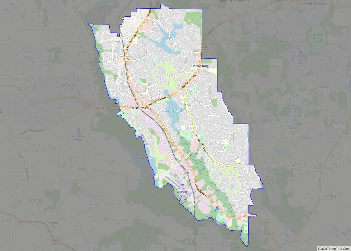
Peachtree City is the largest city in Fayette County, Georgia, United States. As of the 2010 United States Census, it had a population of 34,364. Peachtree City is located in South Metro Atlanta.
Peachtree City is noted for its extensive use of golf carts. Over 10,000 households in the city own golf carts, and most areas of the city can be reached via more than 90 miles (140 km) of golf cart paths.
| Name: | Peachtree City city |
|---|---|
| LSAD Code: | 25 |
| LSAD Description: | city (suffix) |
| State: | Georgia |
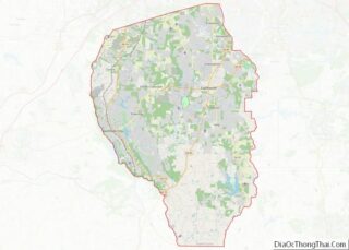
| County: | Fayette County |
| Incorporated: | 1962 |
| Elevation: | 899 ft (274 m) |
| Total Area: | 26.04 sq mi (67.44 km²) |
| Land Area: | 25.13 sq mi (65.10 km²) |
| Water Area: | 0.91 sq mi (2.34 km²) |
| Total Population: | 38,244 |
| Population Density: | 1,521.60/sq mi (587.50/km²) |
| ZIP code: | 30269 |
| Area code: | 678, 770, 404 |
| FIPS code: | 1359724 |
| GNISfeature ID: | 0320310 |
| Website: | www.peachtree-city.org |
Online Interactive Map
Click on ![]() to view map in "full screen" mode.
to view map in "full screen" mode.
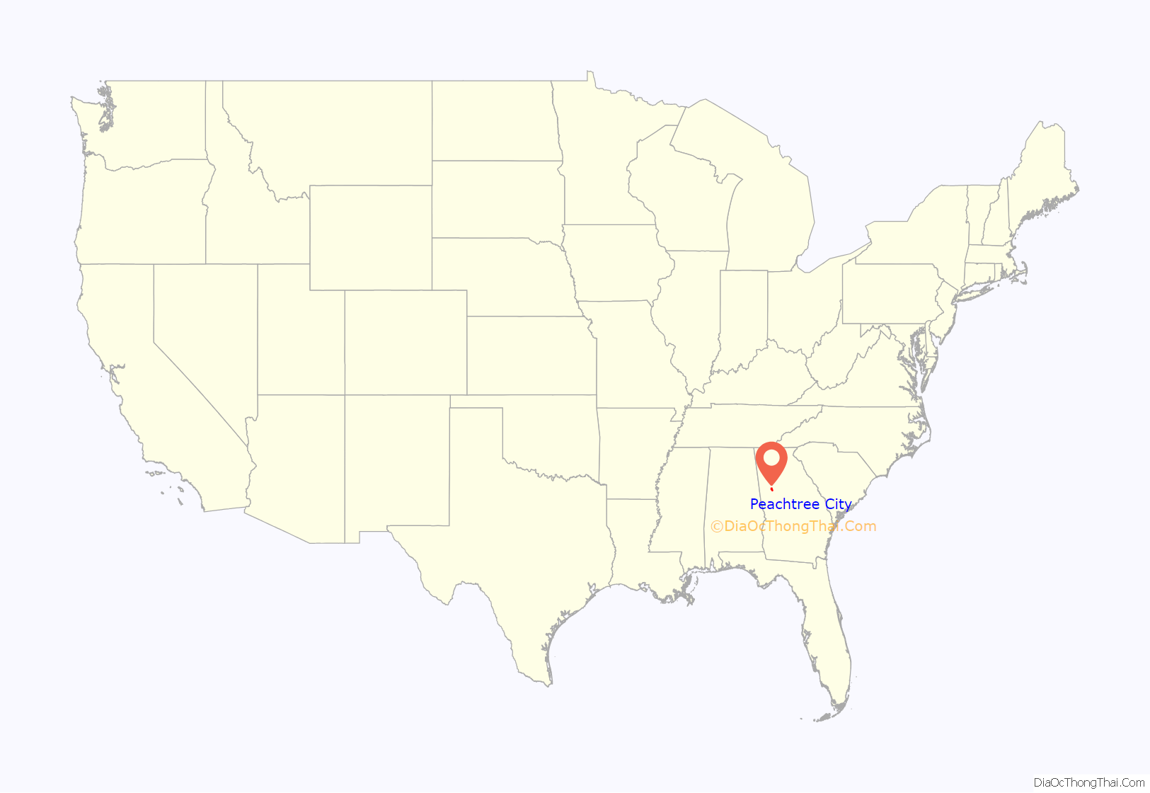
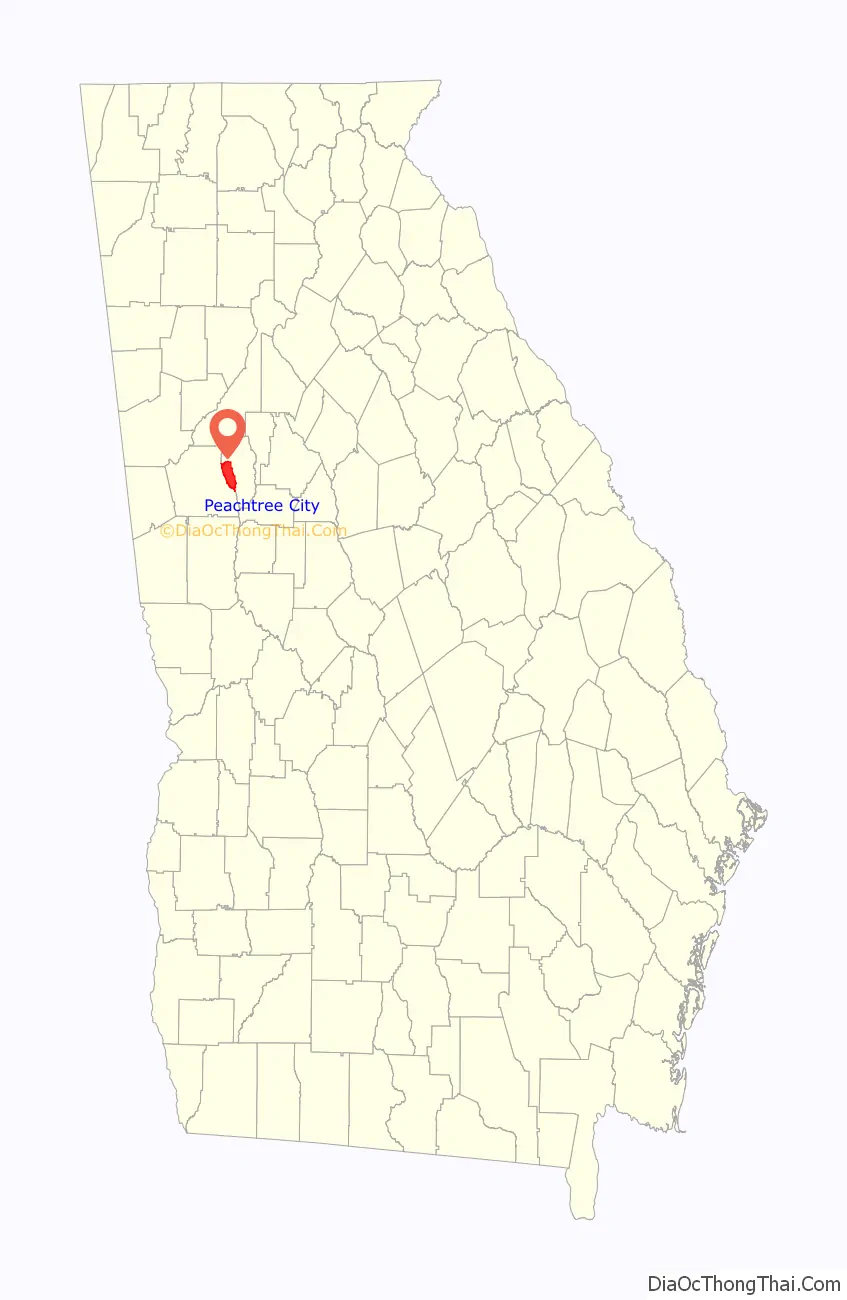
Peachtree City location map. Where is Peachtree City city?
History
Timeline:
- In 1957, Flat Creek was dammed to create Lake Peachtree.
- In 1959, Joel Cowan established the city’s network of golf cart paths.
- In 1965, the Peachtree City volunteer fire department was created. The one-car Peachtree City police department was created.
- In 1968, Falcon Field airport was founded by Joel Cowan as Peachtree City-Falcon Field. Peachtree City Elementary School opened.
- In 1972, Peachtree City was granted its own ZIP code (30269).
- In 1974, the Peachtree City Public Library opened. The Georgia state legislature passed legislation permitting golf carts to be operated on city streets.
- In 1975, Peachtree City was named “one of America’s best suburbs” by Ladies’ Home Journal magazine.
- In 1976, Peachtree City got its own telephone exchange (487). Residents then had to dial “8” to reach Atlanta, which remained the case until digital equipment was installed in 1988.
- In 1976, Frederick Brown Jr. Amphitheater (then known as the Peachtree City Amphitheater) was built as a Bicentennial project and opened to the public with the production “The MacIntosh Trail”, which told the story of Creek Chief William McIntosh and the Trail of Tears. (It was intended as a tourist attraction similar to the Cherokee, North Carolina, production of Unto These Hills.) When further funding was not forthcoming the project went into foreclosure. Peachtree City purchased the amphitheater at the courthouse steps in 1977.
- In 1979, the first traffic light within city limits was installed at the intersection of Georgia State Route 54 and Georgia State Route 74.
- In 1979, Gallopade International, Inc. was founded with corporate headquarters, publishing and warehousing facility in Peachtree City
- In 1981, McIntosh High School opened.
- In 1983, Peachtree City held a free music festival to celebrate the opening of several new shops and stores, including the Galaxy Games arcade. Several local bands played at the free event, including “Alliance”.
- In 1984, Hoshizaki America, Inc. builds corporate headquarters, warehousing and manufacturing facility in Peachtree City
- In 1992, Peachtree City altered the length of the mayoral and council members’ terms of office from two to four years. Term limits were enacted to restrict both mayor and council members to a maximum of two four-year terms.
- In 1994, the first Summer Concert Series premiered at Frederick Brown Jr. Amphitheater on June 17, 1994, to a sold-out audience. The first concert featured Three Dog Night.
- In 1994, the National Weather Service central office relocated from Hartsfield–Jackson Atlanta International Airport.
- In 1994, Fuller Life Chiropractic Center opened its initial office.
- In 1996, the Olympic flame passed through on its way to Atlanta.
- In 2001, the city was designated a “Tree City USA” by the Arbor Day Foundation.
- In 2002, Peachtree City (specifically Starr’s Mill) was a filming location for the movie Sweet Home Alabama.
- In 2007, the city announced a plan to formally annex an unincorporated area between Georgia State Route 74 and the border with Coweta County that is commonly referred to as “The West Village”, or “Wilksmoor Village”.
- In 2013, the 650-acre (2.6 km) Lake McIntosh opened for public use.
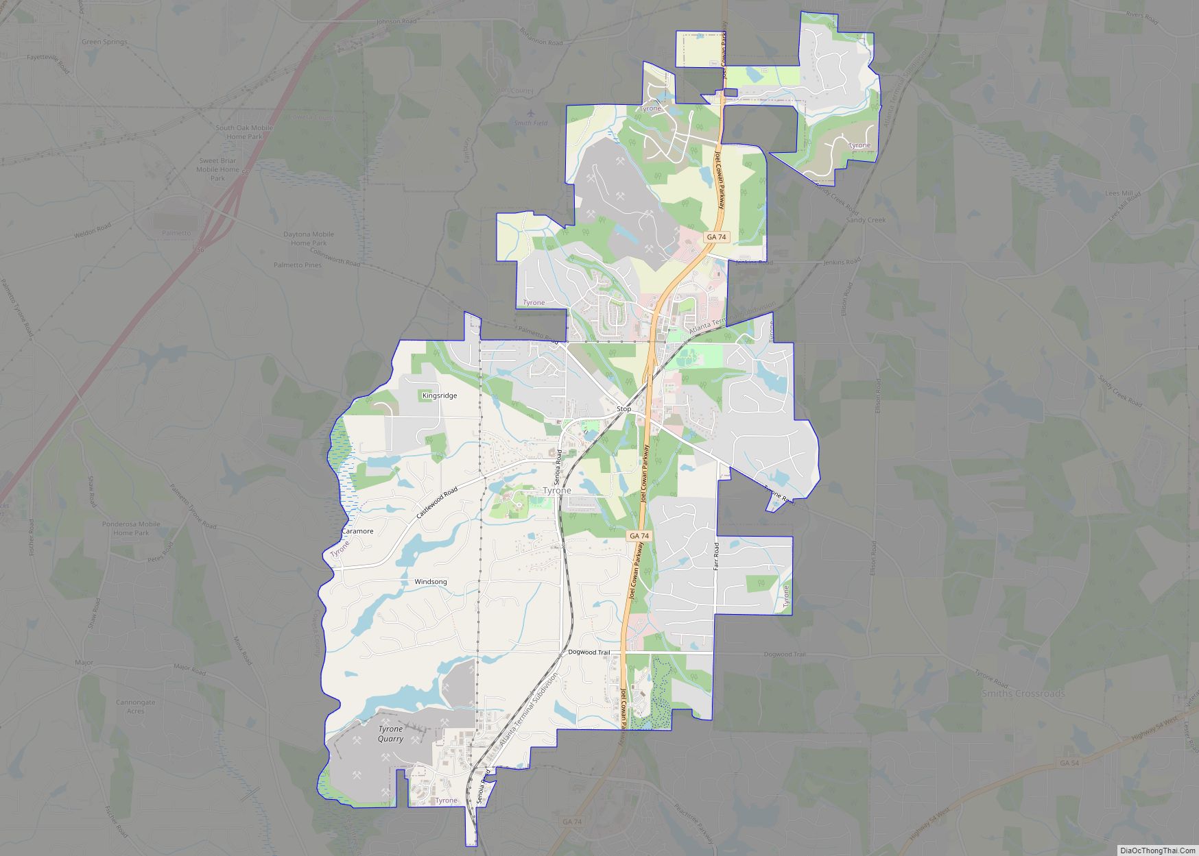
Peachtree City Road Map

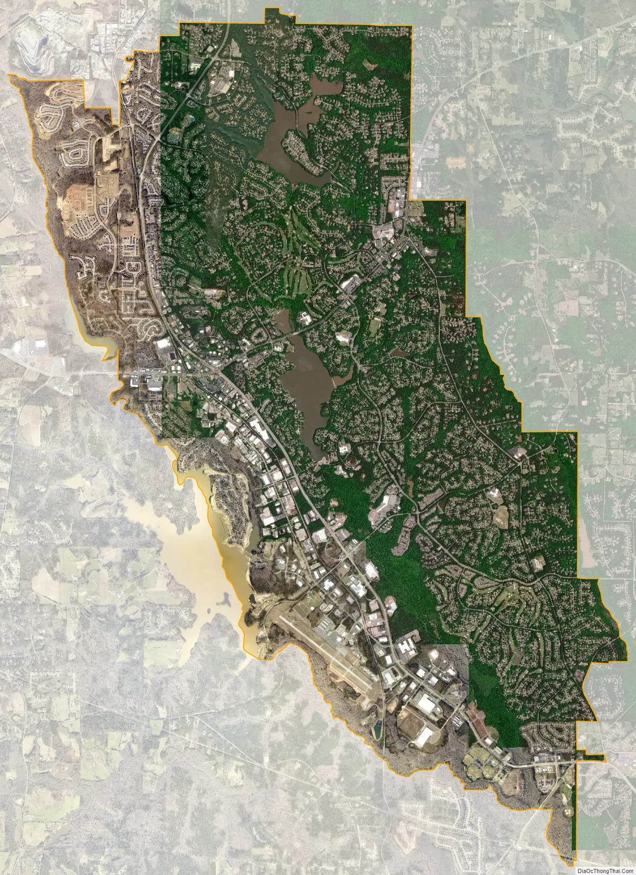
Peachtree City city Satellite Map
Geography
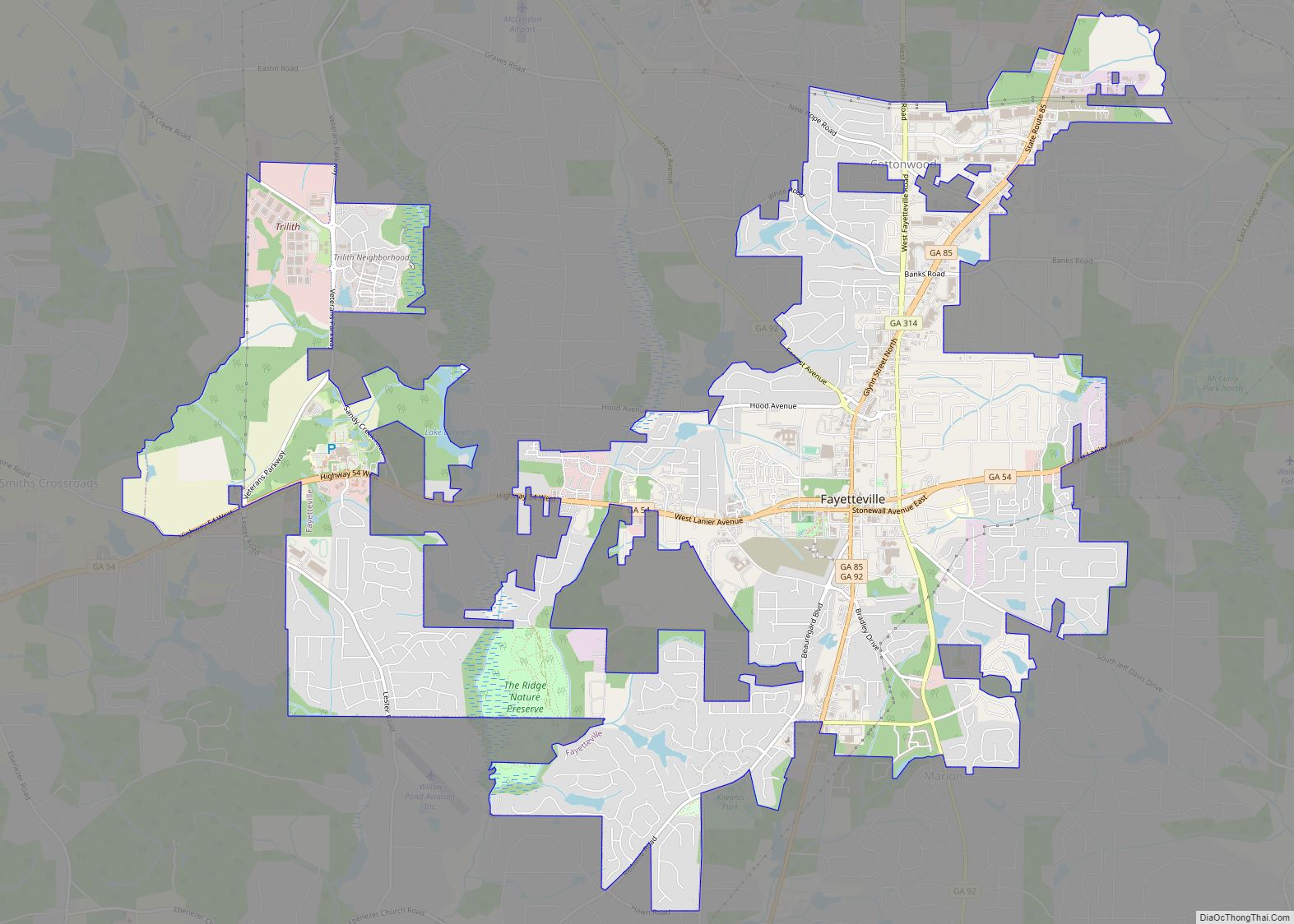
Peachtree City is located in western Fayette County in the southern Atlanta metro area. It is bordered to the west by Coweta County and to the north by the Town of Tyrone. It is crossed by Georgia State Route 74 and Georgia State Route 54. SR 54 leads east 10 miles (16 km) to Fayetteville, the county seat, and southwest 17 miles (27 km) to Luthersville. Newnan is 12 miles (19 km) to the west via SR 54 and SR 34. SR 74, the Joel Cowan Parkway, runs through the west side of Peachtree City, leading north 6 miles (10 km) to Tyrone and 11 miles (18 km) to Interstate 85 near Fairburn. Downtown Atlanta is 31 miles (50 km) to the north via SR 74 and I-85.
According to the U.S. Census Bureau, Peachtree City has a total area of 25.4 square miles (65.9 km), of which 24.6 square miles (63.6 km) is land and 0.93 square miles (2.4 km), or 3.57%, is water. The city is in the watershed of Line Creek, which forms the western city boundary and county line, and is a south-flowing tributary of the Flint River.
Peachtree City has three lakes. Lake Kedron to the north is a reservoir that supplies Lake Peachtree to the south via Flat Creek. Lake Kedron is owned by the Fayette County Authority, and is managed so as to keep Lake Peachtree full whenever there is a lack of rain and still allow for recreational use of the lake during droughts. Lake Kedron is not afforded any recreational use except for fishing. Lake McIntosh, the newest lake, close to Planterra, has now reached full pool.
Shakerag Hill, with an elevation of 980 feet (300 m), is the highest point in the city and sits on the eastern border at the intersection of GA Hwy 54 and Robinson Road.
See also
Map of Georgia State and its subdivision:- Appling
- Atkinson
- Bacon
- Baker
- Baldwin
- Banks
- Barrow
- Bartow
- Ben Hill
- Berrien
- Bibb
- Bleckley
- Brantley
- Brooks
- Bryan
- Bulloch
- Burke
- Butts
- Calhoun
- Camden
- Candler
- Carroll
- Catoosa
- Charlton
- Chatham
- Chattahoochee
- Chattooga
- Cherokee
- Clarke
- Clay
- Clayton
- Clinch
- Cobb
- Coffee
- Colquitt
- Columbia
- Cook
- Coweta
- Crawford
- Crisp
- Dade
- Dawson
- Decatur
- DeKalb
- Dodge
- Dooly
- Dougherty
- Douglas
- Early
- Echols
- Effingham
- Elbert
- Emanuel
- Evans
- Fannin
- Fayette
- Floyd
- Forsyth
- Franklin
- Fulton
- Gilmer
- Glascock
- Glynn
- Gordon
- Grady
- Greene
- Gwinnett
- Habersham
- Hall
- Hancock
- Haralson
- Harris
- Hart
- Heard
- Henry
- Houston
- Irwin
- Jackson
- Jasper
- Jeff Davis
- Jefferson
- Jenkins
- Johnson
- Jones
- Lamar
- Lanier
- Laurens
- Lee
- Liberty
- Lincoln
- Long
- Lowndes
- Lumpkin
- Macon
- Madison
- Marion
- McDuffie
- McIntosh
- Meriwether
- Miller
- Mitchell
- Monroe
- Montgomery
- Morgan
- Murray
- Muscogee
- Newton
- Oconee
- Oglethorpe
- Paulding
- Peach
- Pickens
- Pierce
- Pike
- Polk
- Pulaski
- Putnam
- Quitman
- Rabun
- Randolph
- Richmond
- Rockdale
- Schley
- Screven
- Seminole
- Spalding
- Stephens
- Stewart
- Sumter
- Talbot
- Taliaferro
- Tattnall
- Taylor
- Telfair
- Terrell
- Thomas
- Tift
- Toombs
- Towns
- Treutlen
- Troup
- Turner
- Twiggs
- Union
- Upson
- Walker
- Walton
- Ware
- Warren
- Washington
- Wayne
- Webster
- Wheeler
- White
- Whitfield
- Wilcox
- Wilkes
- Wilkinson
- Worth
- Alabama
- Alaska
- Arizona
- Arkansas
- California
- Colorado
- Connecticut
- Delaware
- District of Columbia
- Florida
- Georgia
- Hawaii
- Idaho
- Illinois
- Indiana
- Iowa
- Kansas
- Kentucky
- Louisiana
- Maine
- Maryland
- Massachusetts
- Michigan
- Minnesota
- Mississippi
- Missouri
- Montana
- Nebraska
- Nevada
- New Hampshire
- New Jersey
- New Mexico
- New York
- North Carolina
- North Dakota
- Ohio
- Oklahoma
- Oregon
- Pennsylvania
- Rhode Island
- South Carolina
- South Dakota
- Tennessee
- Texas
- Utah
- Vermont
- Virginia
- Washington
- West Virginia
- Wisconsin
- Wyoming