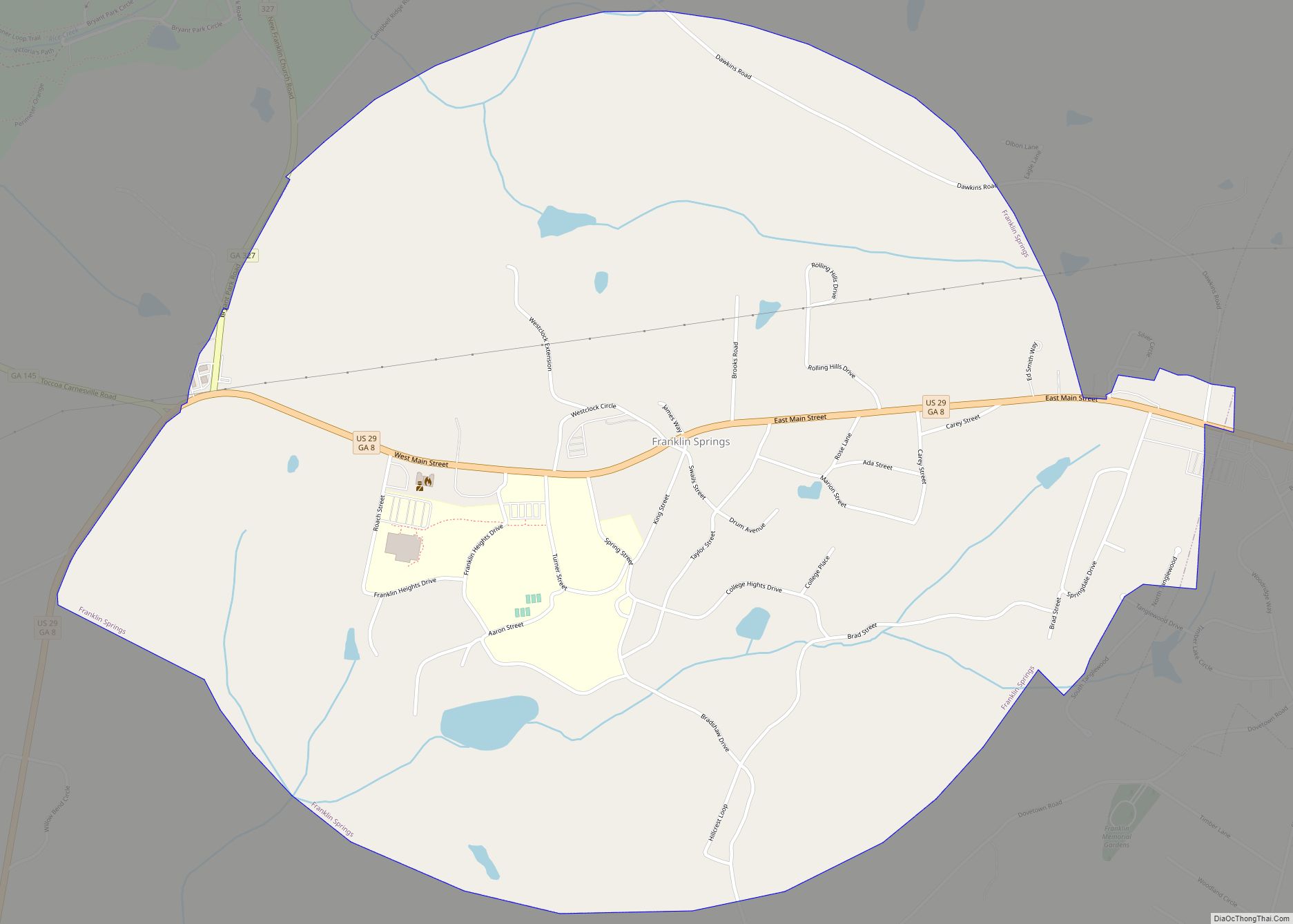
Franklin Springs is a city in Franklin County, Georgia, United States. The population was 952 at the 2010 census, up from 762 in 2000. Emmanuel College is located here.
| Name: | Franklin Springs city |
|---|---|
| LSAD Code: | 25 |
| LSAD Description: | city (suffix) |
| State: | Georgia |
| County: | Franklin County |
| Elevation: | 817 ft (249 m) |
| Total Area: | 2.20 sq mi (5.69 km²) |
| Land Area: | 2.18 sq mi (5.64 km²) |
| Water Area: | 0.02 sq mi (0.05 km²) |
| Total Population: | 1,155 |
| Population Density: | 530.06/sq mi (204.64/km²) |
| ZIP code: | 30639 |
| Area code: | 706 |
| FIPS code: | 1331320 |
| GNISfeature ID: | 0331767 |
| Website: | www.cityoffranklinsprings.com |
Online Interactive Map
Click on ![]() to view map in "full screen" mode.
to view map in "full screen" mode.
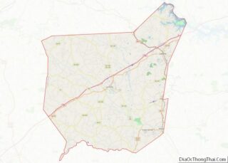
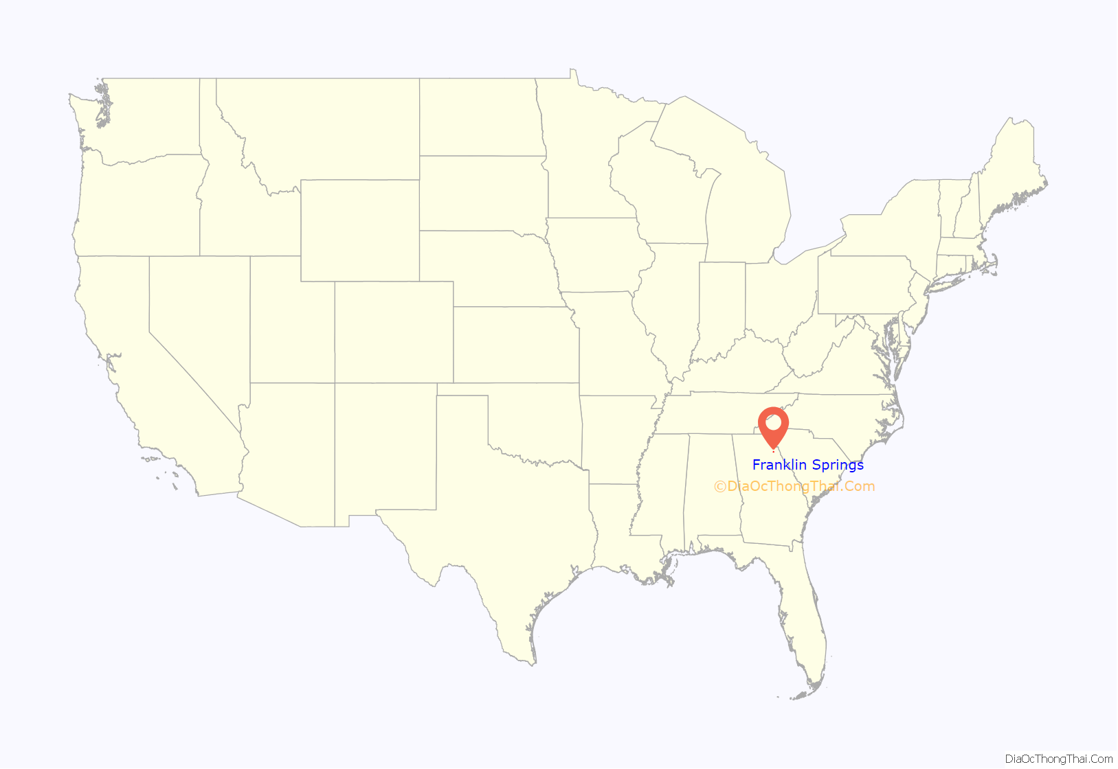
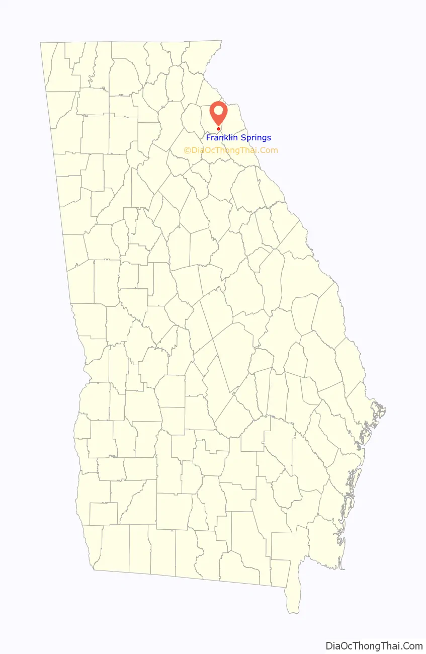
Franklin Springs location map. Where is Franklin Springs city?
History
Franklin Springs began in the 19th century as a resort spa, with the city incorporating in 1924.
The Franklin Springs Institute opened there in 1919 as a high school, eventually shifting to postsecondary education and changing its name to Emmanuel College in 1939.
On September 16, 2004 a magnitude 2 tornado moved north across the town of Franklin Springs, damaging or destroying numerous structures along its 3-mile path.)The city government building and the fire and police stations incurred significant damage, as did approximately 25 residences. Franklin County Emergency Management reported 10 chicken houses, some housing as many as 30,000 chickens and valued at more than $100,000 each, were destroyed. This was part of the Hurricane Ivan tornado outbreak.
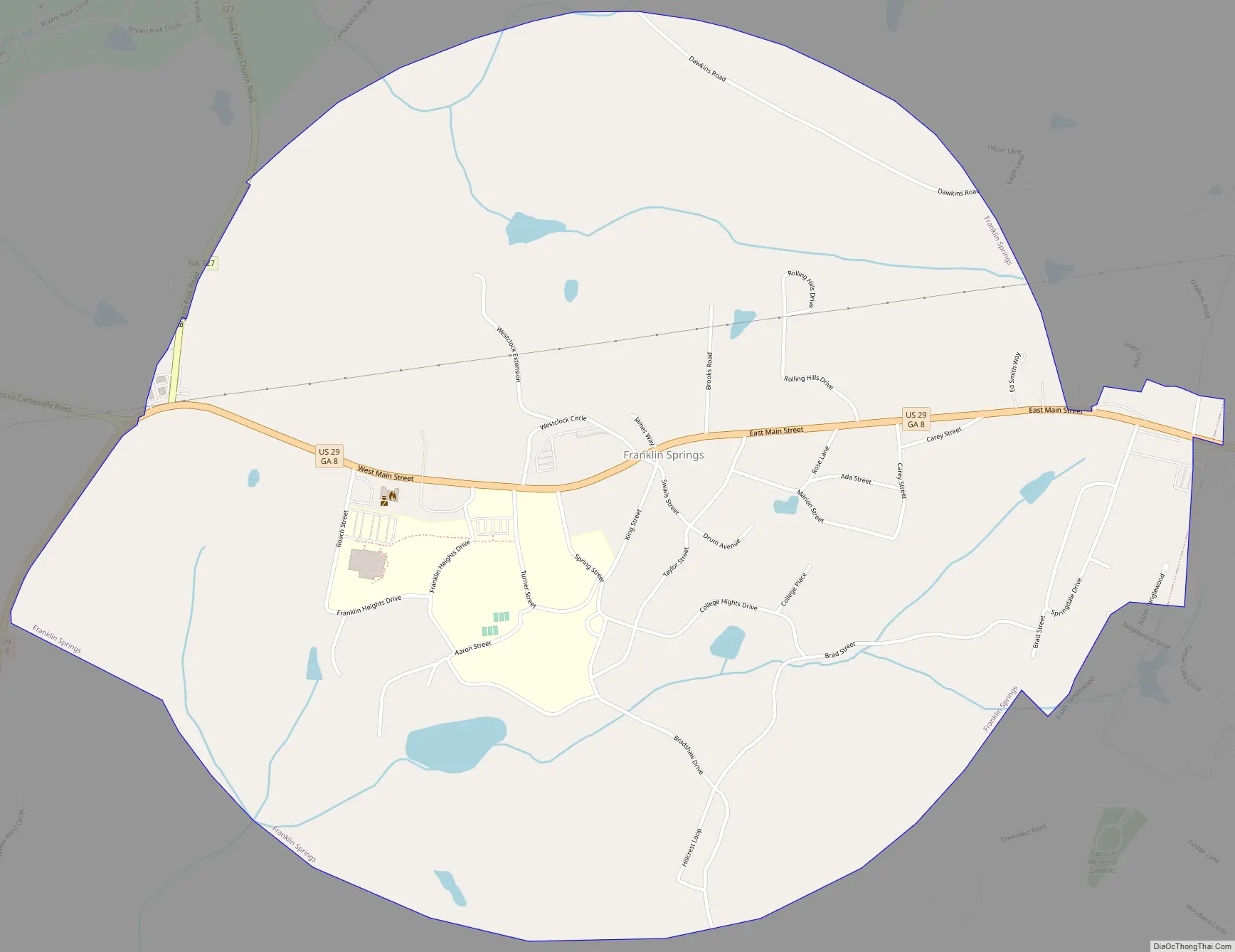
Franklin Springs Road Map
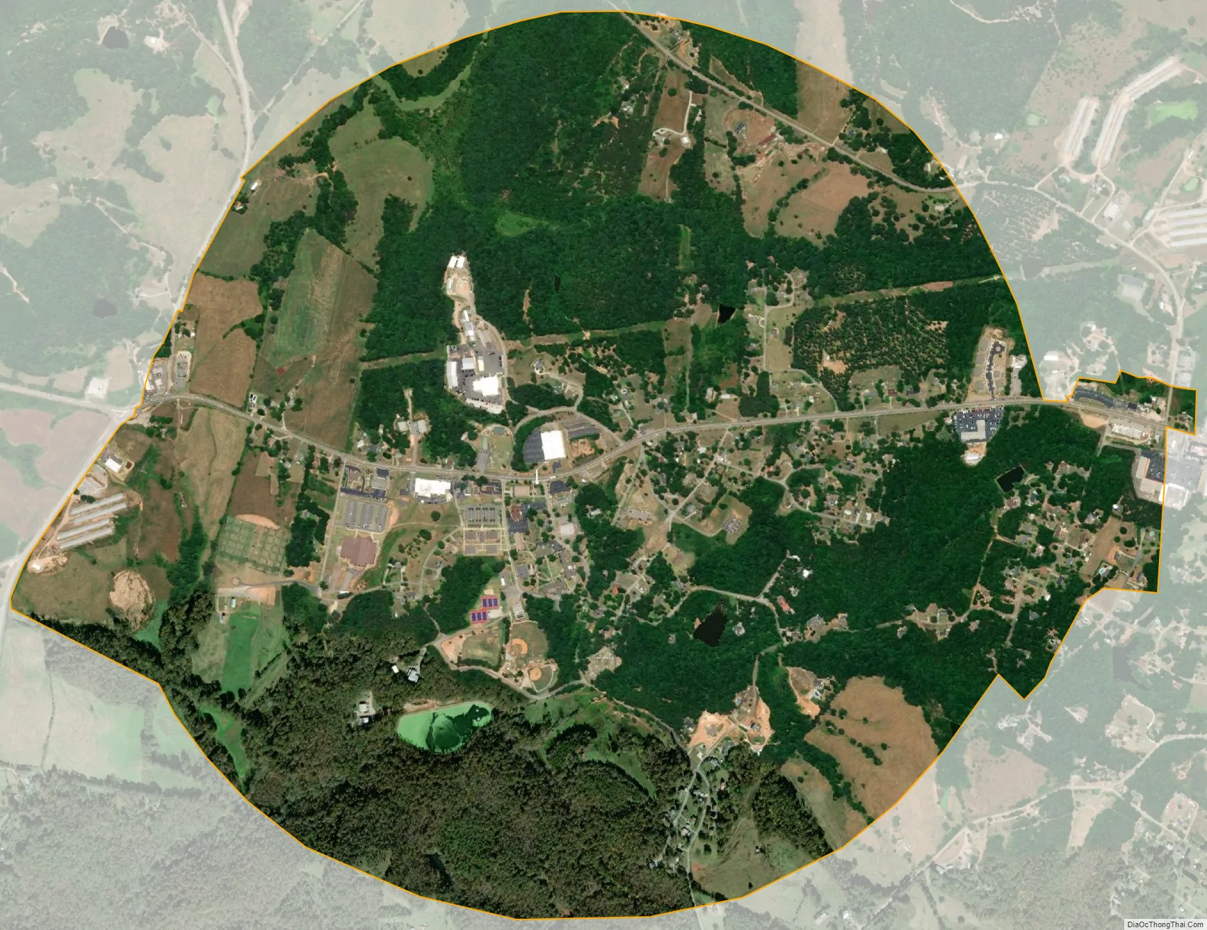
Franklin Springs city Satellite Map
Geography
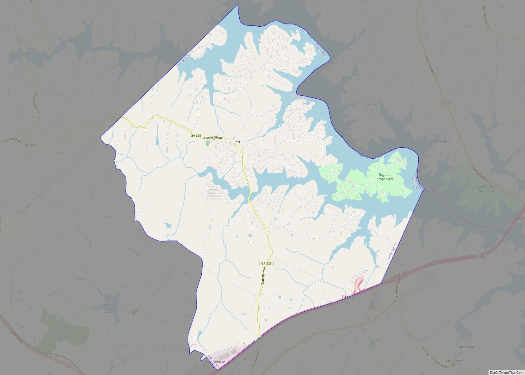
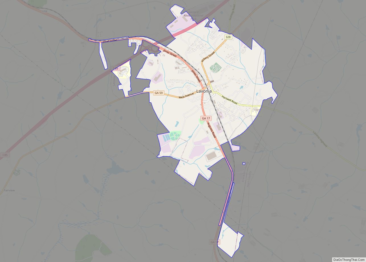
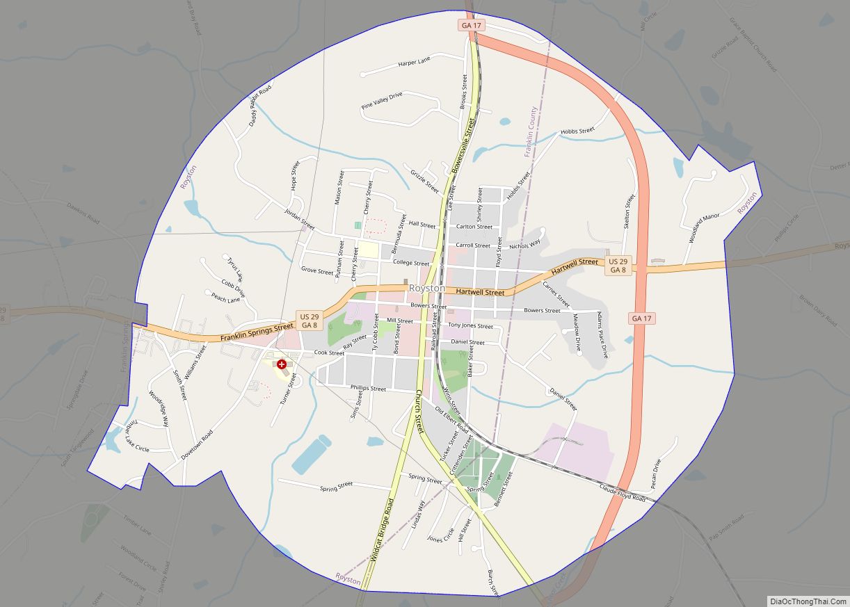
Franklin Springs is located in southeastern Franklin County at 34°17′5″N 83°8′36″W / 34.28472°N 83.14333°W / 34.28472; -83.14333 (34.284598, -83.143402). It is bordered to the east by Royston. U.S. Route 29 passes through the center of the city, leading east 2 miles (3 km) to the center of Royston and southwest 28 miles (45 km) to Athens. Carnesville, the Franklin County seat, is 9 miles (14 km) to the northwest via Georgia State Route 145.
According to the United States Census Bureau, the city of Franklin Springs has a total area of 2.2 square miles (5.7 km), of which 0.02 square miles (0.05 km), or 0.82%, is water.
See also
Map of Georgia State and its subdivision:- Appling
- Atkinson
- Bacon
- Baker
- Baldwin
- Banks
- Barrow
- Bartow
- Ben Hill
- Berrien
- Bibb
- Bleckley
- Brantley
- Brooks
- Bryan
- Bulloch
- Burke
- Butts
- Calhoun
- Camden
- Candler
- Carroll
- Catoosa
- Charlton
- Chatham
- Chattahoochee
- Chattooga
- Cherokee
- Clarke
- Clay
- Clayton
- Clinch
- Cobb
- Coffee
- Colquitt
- Columbia
- Cook
- Coweta
- Crawford
- Crisp
- Dade
- Dawson
- Decatur
- DeKalb
- Dodge
- Dooly
- Dougherty
- Douglas
- Early
- Echols
- Effingham
- Elbert
- Emanuel
- Evans
- Fannin
- Fayette
- Floyd
- Forsyth
- Franklin
- Fulton
- Gilmer
- Glascock
- Glynn
- Gordon
- Grady
- Greene
- Gwinnett
- Habersham
- Hall
- Hancock
- Haralson
- Harris
- Hart
- Heard
- Henry
- Houston
- Irwin
- Jackson
- Jasper
- Jeff Davis
- Jefferson
- Jenkins
- Johnson
- Jones
- Lamar
- Lanier
- Laurens
- Lee
- Liberty
- Lincoln
- Long
- Lowndes
- Lumpkin
- Macon
- Madison
- Marion
- McDuffie
- McIntosh
- Meriwether
- Miller
- Mitchell
- Monroe
- Montgomery
- Morgan
- Murray
- Muscogee
- Newton
- Oconee
- Oglethorpe
- Paulding
- Peach
- Pickens
- Pierce
- Pike
- Polk
- Pulaski
- Putnam
- Quitman
- Rabun
- Randolph
- Richmond
- Rockdale
- Schley
- Screven
- Seminole
- Spalding
- Stephens
- Stewart
- Sumter
- Talbot
- Taliaferro
- Tattnall
- Taylor
- Telfair
- Terrell
- Thomas
- Tift
- Toombs
- Towns
- Treutlen
- Troup
- Turner
- Twiggs
- Union
- Upson
- Walker
- Walton
- Ware
- Warren
- Washington
- Wayne
- Webster
- Wheeler
- White
- Whitfield
- Wilcox
- Wilkes
- Wilkinson
- Worth
- Alabama
- Alaska
- Arizona
- Arkansas
- California
- Colorado
- Connecticut
- Delaware
- District of Columbia
- Florida
- Georgia
- Hawaii
- Idaho
- Illinois
- Indiana
- Iowa
- Kansas
- Kentucky
- Louisiana
- Maine
- Maryland
- Massachusetts
- Michigan
- Minnesota
- Mississippi
- Missouri
- Montana
- Nebraska
- Nevada
- New Hampshire
- New Jersey
- New Mexico
- New York
- North Carolina
- North Dakota
- Ohio
- Oklahoma
- Oregon
- Pennsylvania
- Rhode Island
- South Carolina
- South Dakota
- Tennessee
- Texas
- Utah
- Vermont
- Virginia
- Washington
- West Virginia
- Wisconsin
- Wyoming