Kite is a city in Johnson County, Georgia, United States, along the Little Ohoopee River. The population was 241 at the 2010 census. Kite is part of the Dublin Micropolitan Statistical Area.
| Name: | Kite city |
|---|---|
| LSAD Code: | 25 |
| LSAD Description: | city (suffix) |
| State: | Georgia |
| County: | Johnson County |
| Elevation: | 249 ft (76 m) |
| Total Area: | 0.81 sq mi (2.10 km²) |
| Land Area: | 0.81 sq mi (2.09 km²) |
| Water Area: | 0.01 sq mi (0.01 km²) |
| Total Population: | 160 |
| Population Density: | 198.51/sq mi (76.68/km²) |
| ZIP code: | 31049 |
| Area code: | 478 |
| FIPS code: | 1343892 |
| GNISfeature ID: | 0316484 |
| Website: | kite.georgia.gov |
Online Interactive Map
Click on ![]() to view map in "full screen" mode.
to view map in "full screen" mode.
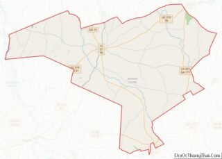
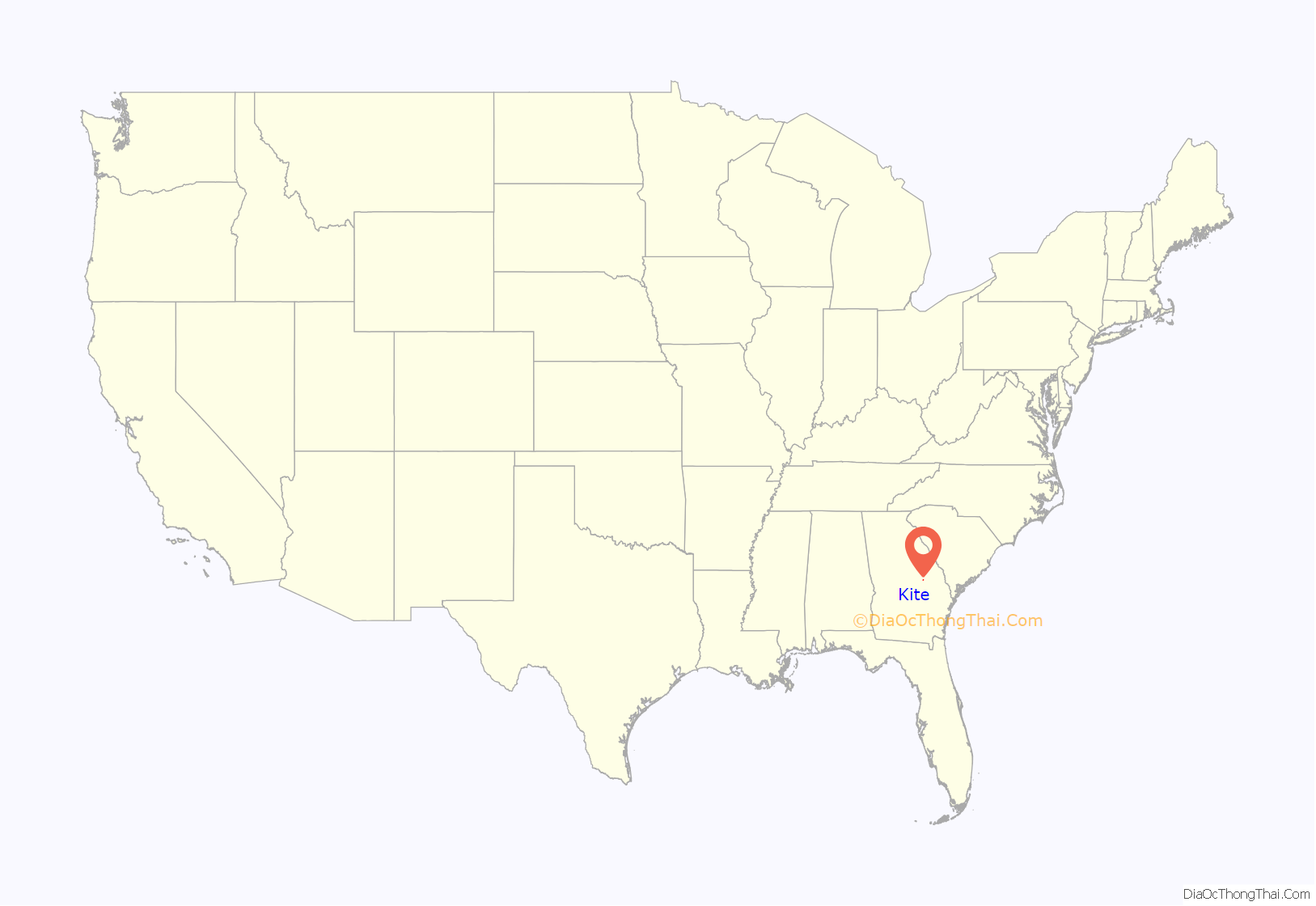
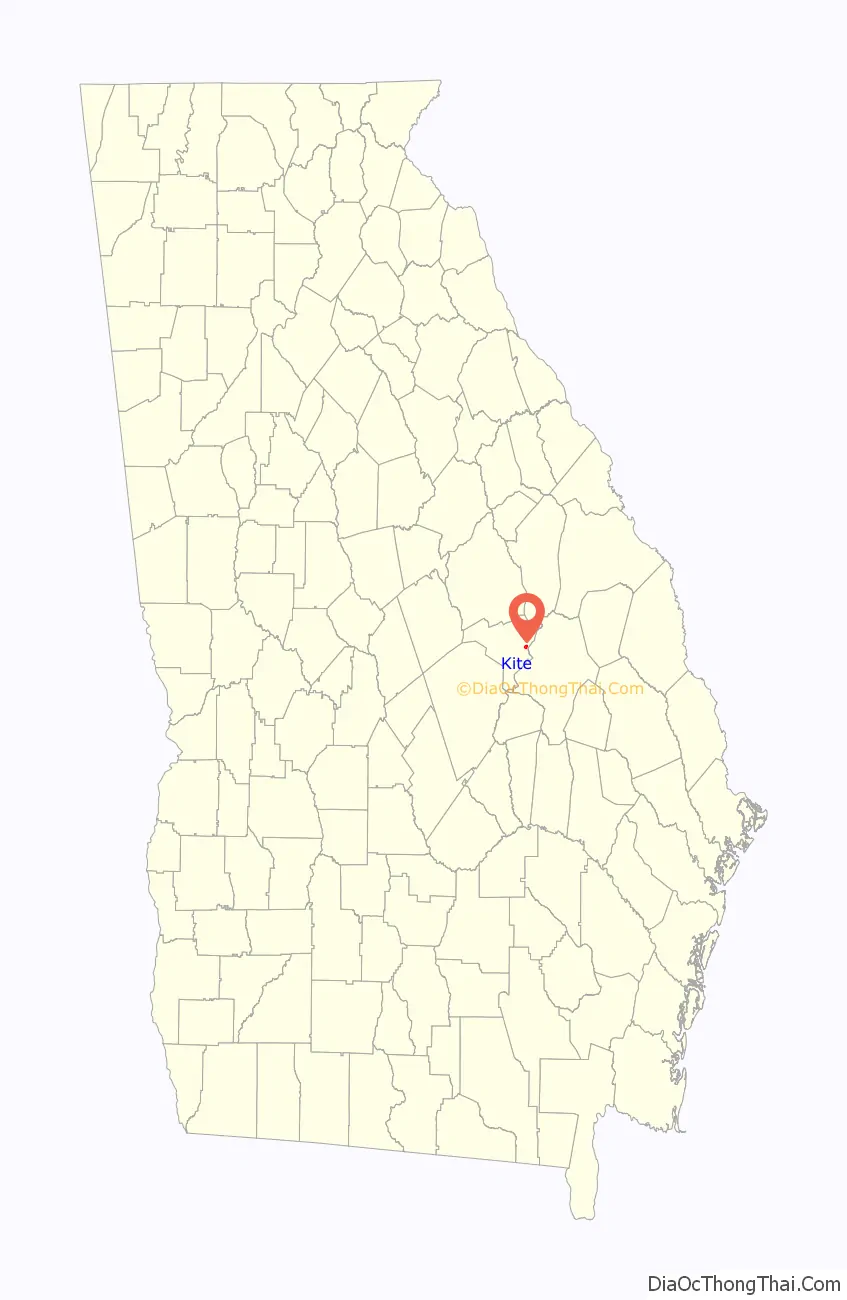
Kite location map. Where is Kite city?
History
The town was named after Shaderick Kight, who donated the land to build the town. He requested the simpler spelling of the name for more efficient mail delivery and processing.
The Georgia General Assembly incorporated Kite in 1891.
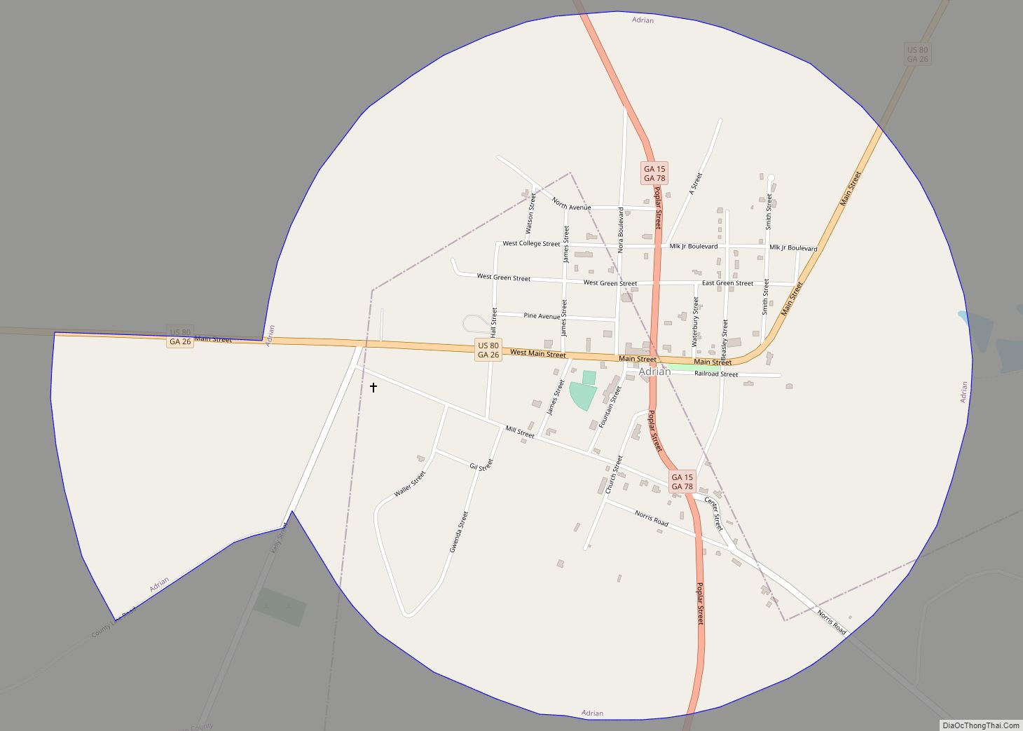
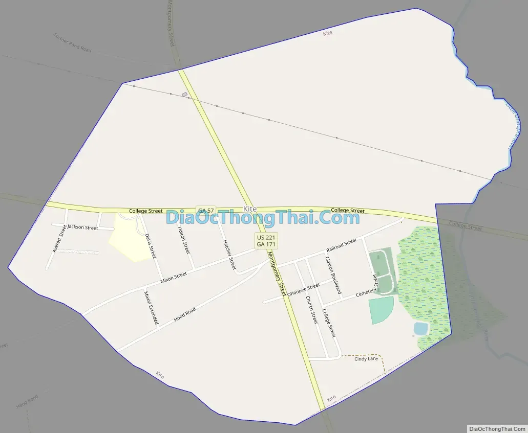
Kite Road Map
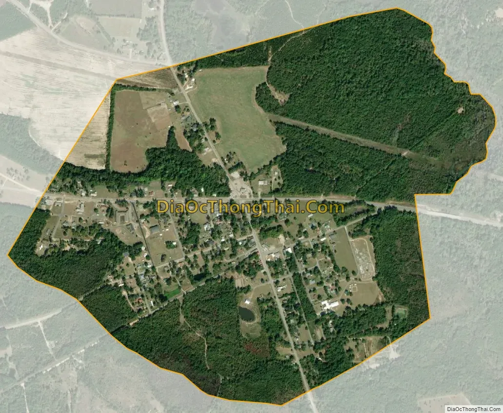
Kite city Satellite Map
Geography
Kite is located in eastern Johnson County at 32°41′29″N 82°30′55″W / 32.69139°N 82.51528°W / 32.69139; -82.51528 (32.691472, -82.515378). U.S. Route 221 passes through the center of town as Montgomery Street, leading north 14 miles (23 km) to Bartow and south 25 miles (40 km) to Soperton. Georgia State Route 57 (Kight Road) crosses US 221 in the center of Kite, leading west 12 miles (19 km) to Wrightsville, the Johnson county seat, and southeast 13 miles (21 km) to Swainsboro.
According to the United States Census Bureau, Kite has a total area of 0.81 square miles (2.1 km), of which 0.004 square miles (0.01 km), or 0.63%, are water.
Climate
See also
Map of Georgia State and its subdivision:- Appling
- Atkinson
- Bacon
- Baker
- Baldwin
- Banks
- Barrow
- Bartow
- Ben Hill
- Berrien
- Bibb
- Bleckley
- Brantley
- Brooks
- Bryan
- Bulloch
- Burke
- Butts
- Calhoun
- Camden
- Candler
- Carroll
- Catoosa
- Charlton
- Chatham
- Chattahoochee
- Chattooga
- Cherokee
- Clarke
- Clay
- Clayton
- Clinch
- Cobb
- Coffee
- Colquitt
- Columbia
- Cook
- Coweta
- Crawford
- Crisp
- Dade
- Dawson
- Decatur
- DeKalb
- Dodge
- Dooly
- Dougherty
- Douglas
- Early
- Echols
- Effingham
- Elbert
- Emanuel
- Evans
- Fannin
- Fayette
- Floyd
- Forsyth
- Franklin
- Fulton
- Gilmer
- Glascock
- Glynn
- Gordon
- Grady
- Greene
- Gwinnett
- Habersham
- Hall
- Hancock
- Haralson
- Harris
- Hart
- Heard
- Henry
- Houston
- Irwin
- Jackson
- Jasper
- Jeff Davis
- Jefferson
- Jenkins
- Johnson
- Jones
- Lamar
- Lanier
- Laurens
- Lee
- Liberty
- Lincoln
- Long
- Lowndes
- Lumpkin
- Macon
- Madison
- Marion
- McDuffie
- McIntosh
- Meriwether
- Miller
- Mitchell
- Monroe
- Montgomery
- Morgan
- Murray
- Muscogee
- Newton
- Oconee
- Oglethorpe
- Paulding
- Peach
- Pickens
- Pierce
- Pike
- Polk
- Pulaski
- Putnam
- Quitman
- Rabun
- Randolph
- Richmond
- Rockdale
- Schley
- Screven
- Seminole
- Spalding
- Stephens
- Stewart
- Sumter
- Talbot
- Taliaferro
- Tattnall
- Taylor
- Telfair
- Terrell
- Thomas
- Tift
- Toombs
- Towns
- Treutlen
- Troup
- Turner
- Twiggs
- Union
- Upson
- Walker
- Walton
- Ware
- Warren
- Washington
- Wayne
- Webster
- Wheeler
- White
- Whitfield
- Wilcox
- Wilkes
- Wilkinson
- Worth
- Alabama
- Alaska
- Arizona
- Arkansas
- California
- Colorado
- Connecticut
- Delaware
- District of Columbia
- Florida
- Georgia
- Hawaii
- Idaho
- Illinois
- Indiana
- Iowa
- Kansas
- Kentucky
- Louisiana
- Maine
- Maryland
- Massachusetts
- Michigan
- Minnesota
- Mississippi
- Missouri
- Montana
- Nebraska
- Nevada
- New Hampshire
- New Jersey
- New Mexico
- New York
- North Carolina
- North Dakota
- Ohio
- Oklahoma
- Oregon
- Pennsylvania
- Rhode Island
- South Carolina
- South Dakota
- Tennessee
- Texas
- Utah
- Vermont
- Virginia
- Washington
- West Virginia
- Wisconsin
- Wyoming