Sardis is a city in Burke County, Georgia, United States. The population is 999 at the 2010 census. It is part of the Augusta, Georgia metropolitan area in the Central Savannah River Area (CSRA).
| Name: | Sardis city |
|---|---|
| LSAD Code: | 25 |
| LSAD Description: | city (suffix) |
| State: | Georgia |
| County: | Burke County |
| Elevation: | 240 ft (73 m) |
| Total Area: | 1.56 sq mi (4.05 km²) |
| Land Area: | 1.55 sq mi (4.01 km²) |
| Water Area: | 0.01 sq mi (0.04 km²) |
| Total Population: | 995 |
| Population Density: | 642.76/sq mi (248.13/km²) |
| ZIP code: | 30456 |
| Area code: | 478 |
| FIPS code: | 1368740 |
| GNISfeature ID: | 0322525 |
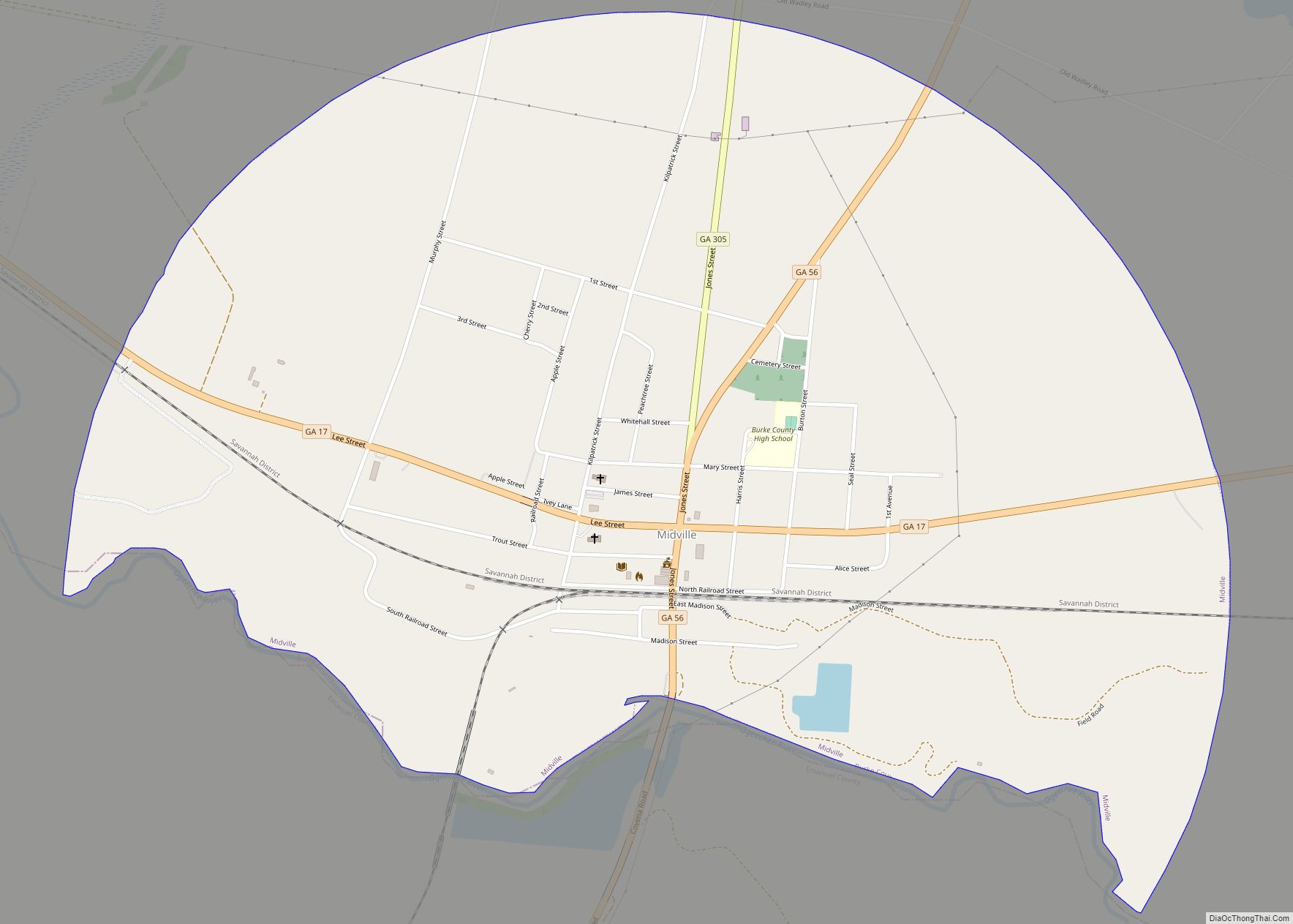
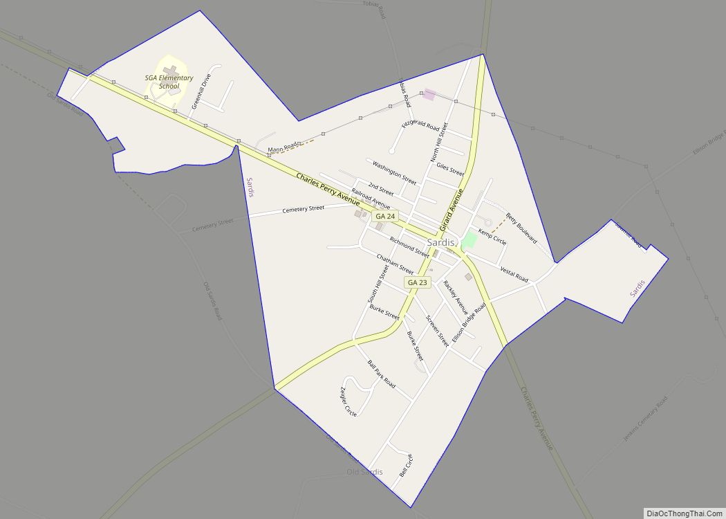
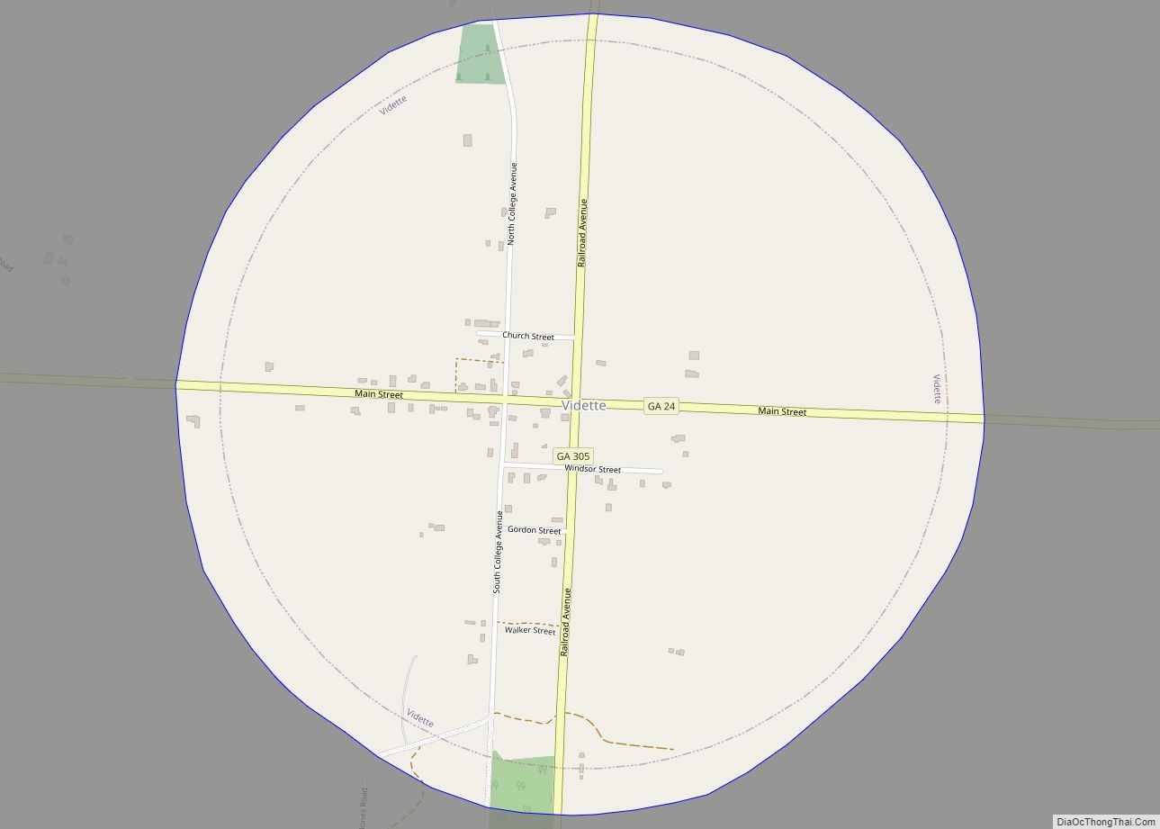
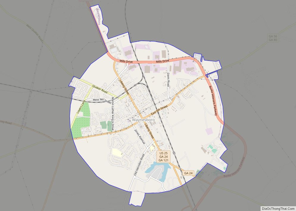
Online Interactive Map
Click on ![]() to view map in "full screen" mode.
to view map in "full screen" mode.
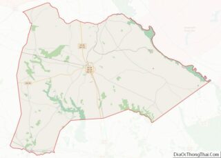
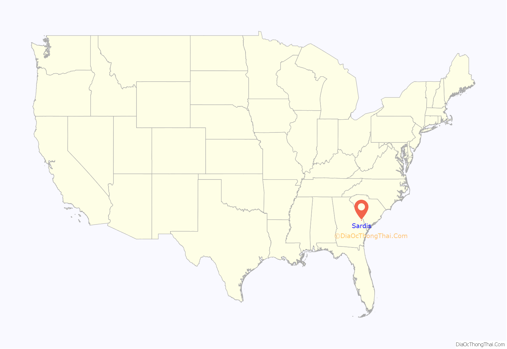
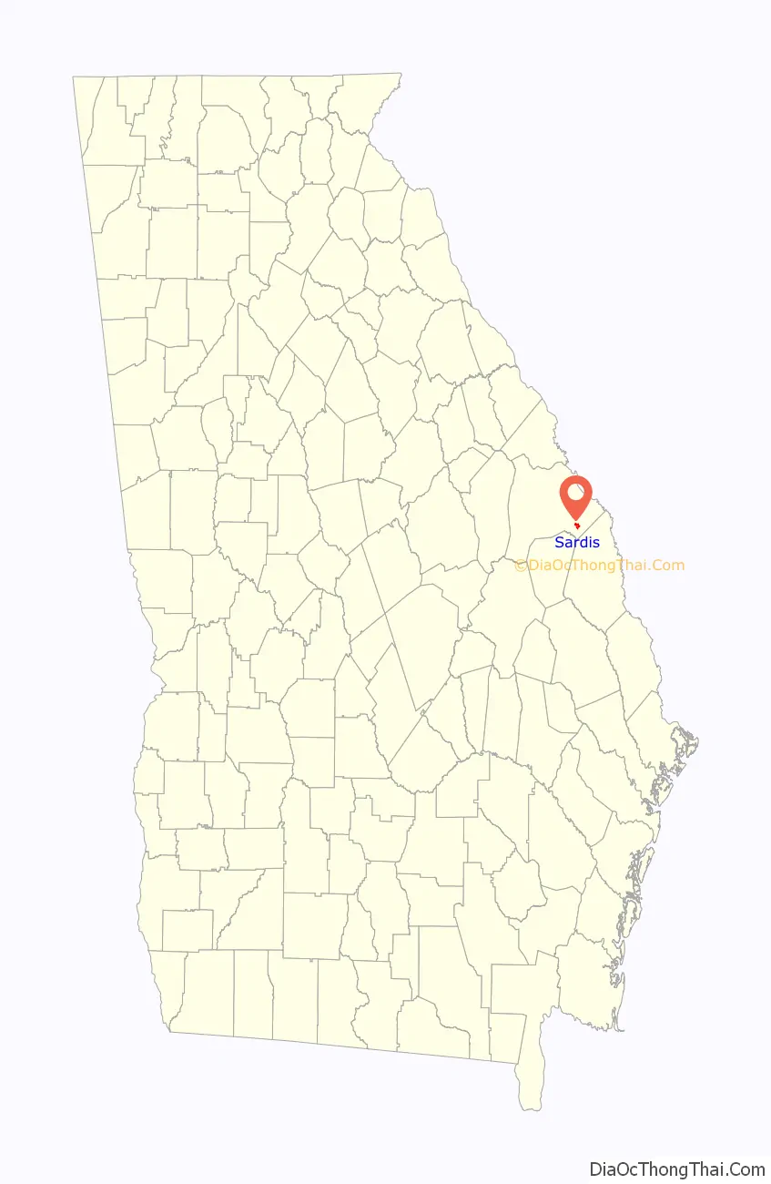
Sardis location map. Where is Sardis city?
History
Around the turn of the 20th century, a small crossroads community called Frog Wallow was developing in southeast Burke County. With the construction of the Savannah & Atlanta Railway, the tiny town lay on the new railroad connecting the two large hubs. In 1912, the town was incorporated as Sardis by the Georgia Legislature, named after the Baptist church that had flourished in the town over the past decades. The church’s name, in turn, is a transfer from Sardis, an ancient city in present-day Turkey.
Sardis saw several decades of growth including a booming lumber industry. Then, in 1962, the owner of the railroad (Central of Georgia) abandoned the section of tracks between Waynesboro and Sylvania, which negatively affected the local economy. The tracks were subsequently removed in 1964. Sardis still retains its old train station and coal tower.
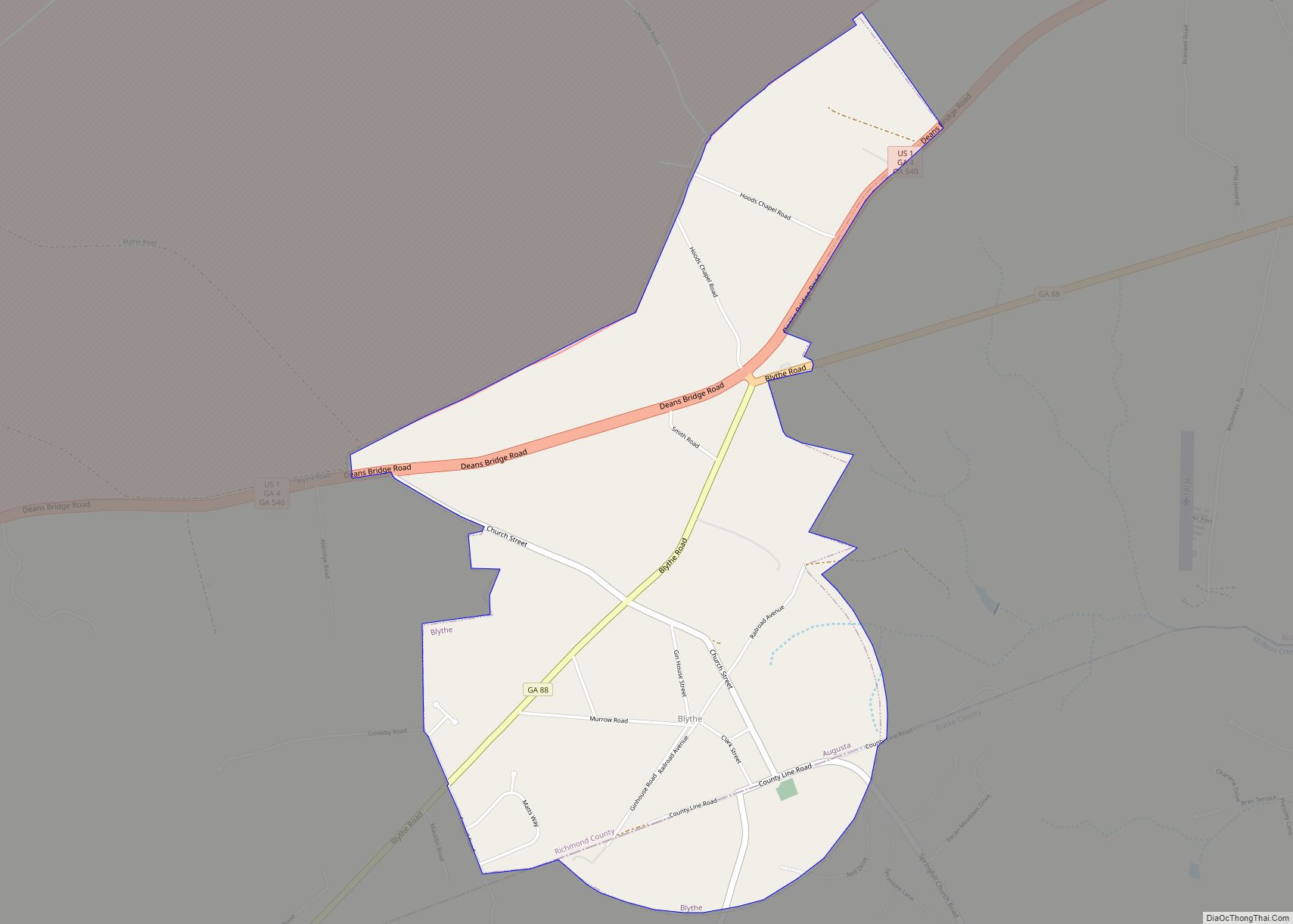
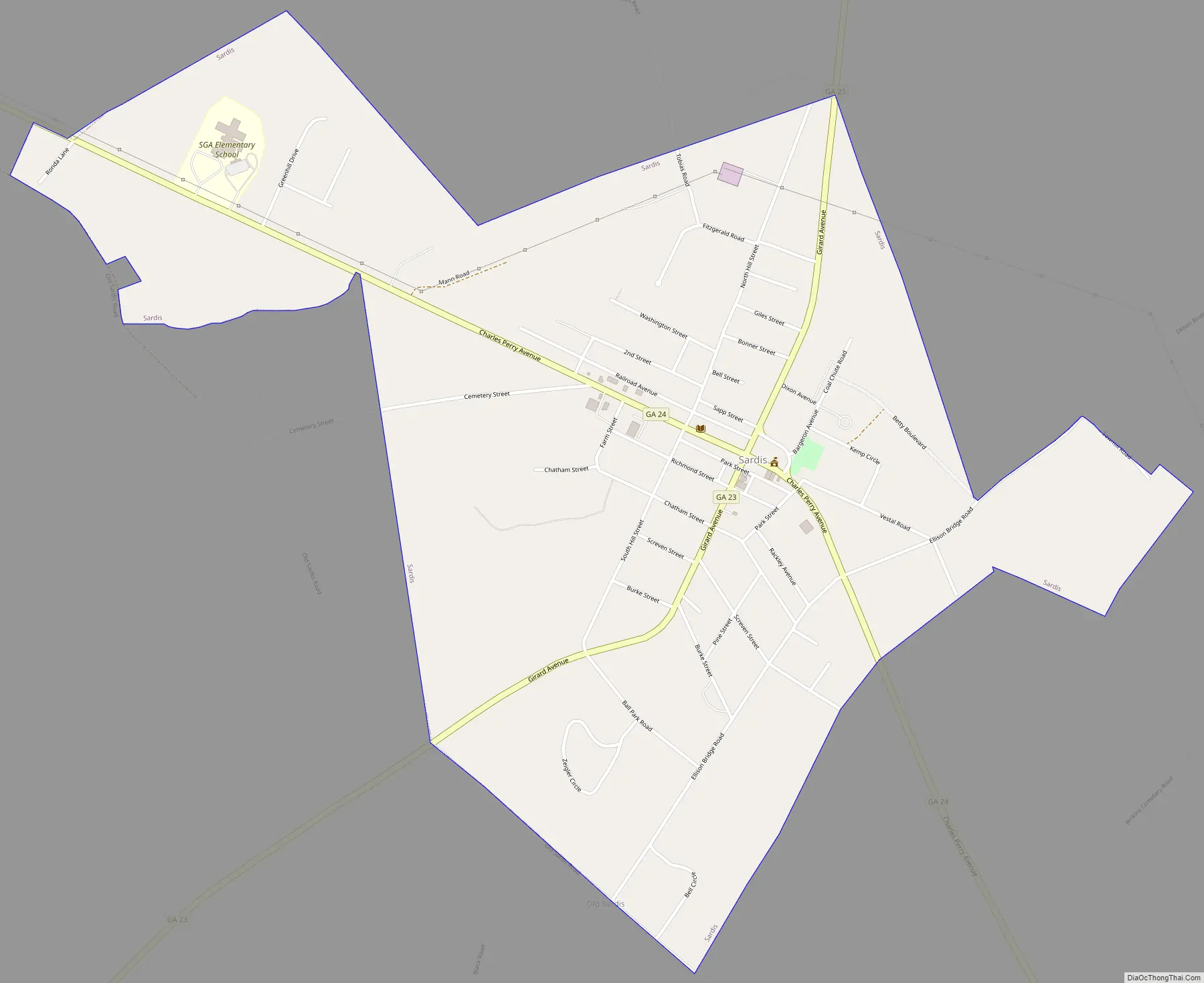
Sardis Road Map
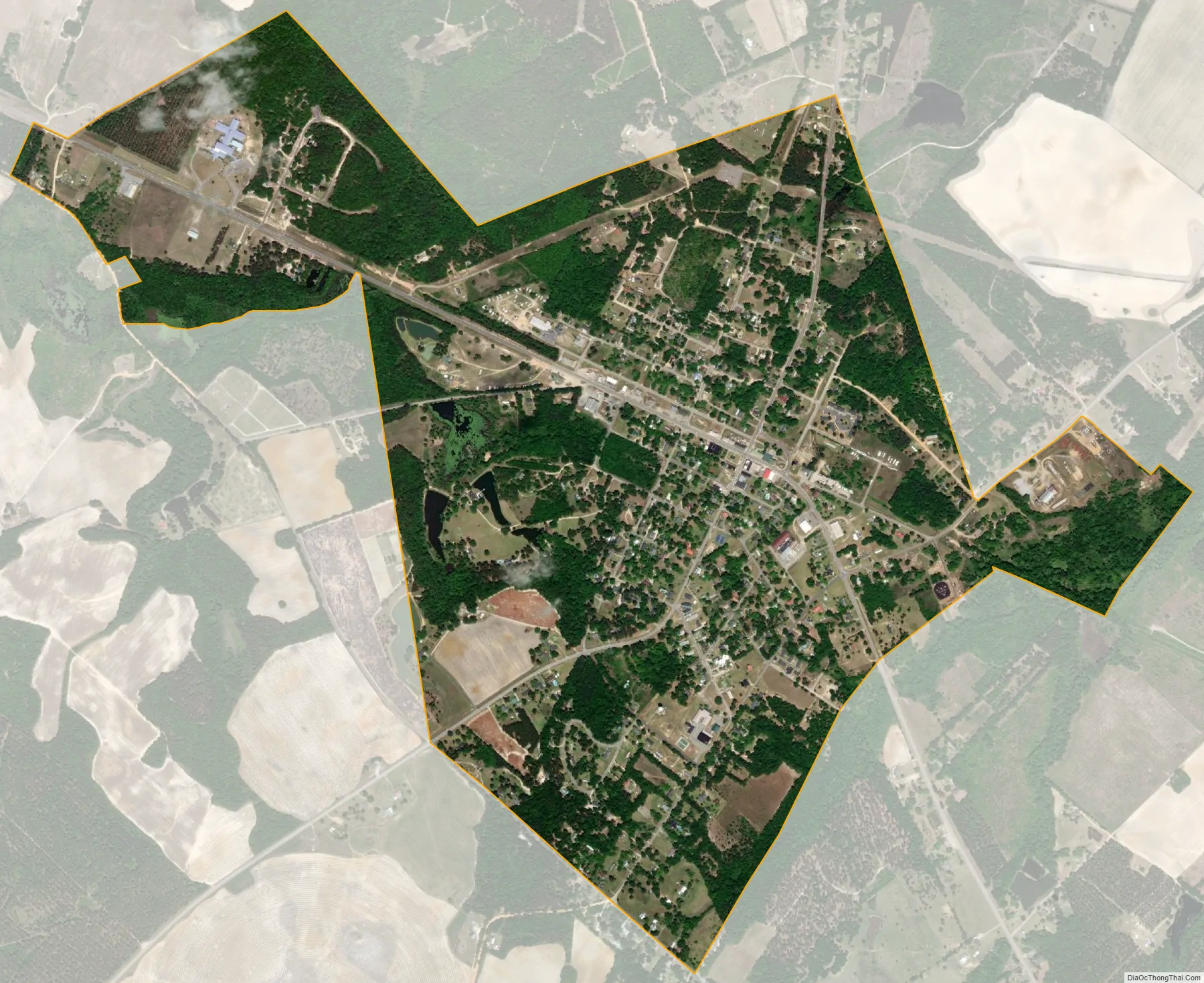
Sardis city Satellite Map
Geography
Sardis is located in southeastern Burke County at 32°58′28″N 81°45′31″W / 32.97444°N 81.75861°W / 32.97444; -81.75861 (32.974510, -81.758504). It is 17 miles (27 km) southeast of Waynesboro, the Burke County seat.
According to the United States Census Bureau, the city has a total area of 1.5 square miles (4.0 km), of which 0.015 square miles (0.04 km), or 0.95%, is water.
See also
Map of Georgia State and its subdivision:- Appling
- Atkinson
- Bacon
- Baker
- Baldwin
- Banks
- Barrow
- Bartow
- Ben Hill
- Berrien
- Bibb
- Bleckley
- Brantley
- Brooks
- Bryan
- Bulloch
- Burke
- Butts
- Calhoun
- Camden
- Candler
- Carroll
- Catoosa
- Charlton
- Chatham
- Chattahoochee
- Chattooga
- Cherokee
- Clarke
- Clay
- Clayton
- Clinch
- Cobb
- Coffee
- Colquitt
- Columbia
- Cook
- Coweta
- Crawford
- Crisp
- Dade
- Dawson
- Decatur
- DeKalb
- Dodge
- Dooly
- Dougherty
- Douglas
- Early
- Echols
- Effingham
- Elbert
- Emanuel
- Evans
- Fannin
- Fayette
- Floyd
- Forsyth
- Franklin
- Fulton
- Gilmer
- Glascock
- Glynn
- Gordon
- Grady
- Greene
- Gwinnett
- Habersham
- Hall
- Hancock
- Haralson
- Harris
- Hart
- Heard
- Henry
- Houston
- Irwin
- Jackson
- Jasper
- Jeff Davis
- Jefferson
- Jenkins
- Johnson
- Jones
- Lamar
- Lanier
- Laurens
- Lee
- Liberty
- Lincoln
- Long
- Lowndes
- Lumpkin
- Macon
- Madison
- Marion
- McDuffie
- McIntosh
- Meriwether
- Miller
- Mitchell
- Monroe
- Montgomery
- Morgan
- Murray
- Muscogee
- Newton
- Oconee
- Oglethorpe
- Paulding
- Peach
- Pickens
- Pierce
- Pike
- Polk
- Pulaski
- Putnam
- Quitman
- Rabun
- Randolph
- Richmond
- Rockdale
- Schley
- Screven
- Seminole
- Spalding
- Stephens
- Stewart
- Sumter
- Talbot
- Taliaferro
- Tattnall
- Taylor
- Telfair
- Terrell
- Thomas
- Tift
- Toombs
- Towns
- Treutlen
- Troup
- Turner
- Twiggs
- Union
- Upson
- Walker
- Walton
- Ware
- Warren
- Washington
- Wayne
- Webster
- Wheeler
- White
- Whitfield
- Wilcox
- Wilkes
- Wilkinson
- Worth
- Alabama
- Alaska
- Arizona
- Arkansas
- California
- Colorado
- Connecticut
- Delaware
- District of Columbia
- Florida
- Georgia
- Hawaii
- Idaho
- Illinois
- Indiana
- Iowa
- Kansas
- Kentucky
- Louisiana
- Maine
- Maryland
- Massachusetts
- Michigan
- Minnesota
- Mississippi
- Missouri
- Montana
- Nebraska
- Nevada
- New Hampshire
- New Jersey
- New Mexico
- New York
- North Carolina
- North Dakota
- Ohio
- Oklahoma
- Oregon
- Pennsylvania
- Rhode Island
- South Carolina
- South Dakota
- Tennessee
- Texas
- Utah
- Vermont
- Virginia
- Washington
- West Virginia
- Wisconsin
- Wyoming