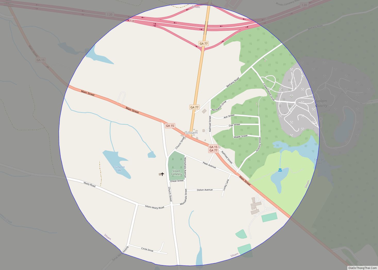
Siloam is a town in Greene County, Georgia, United States. The population was 282 at the 2010 census, down from 331 in 2000.
| Name: | Siloam town |
|---|---|
| LSAD Code: | 43 |
| LSAD Description: | town (suffix) |
| State: | Georgia |
| County: | Greene County |
| Elevation: | 702 ft (214 m) |
| Total Area: | 1.24 sq mi (3.22 km²) |
| Land Area: | 1.21 sq mi (3.14 km²) |
| Water Area: | 0.03 sq mi (0.08 km²) |
| Total Population: | 194 |
| Population Density: | 159.80/sq mi (61.71/km²) |
| ZIP code: | 30665 |
| Area code: | 706 |
| FIPS code: | 1370932 |
| GNISfeature ID: | 0356535 |
Online Interactive Map
Click on ![]() to view map in "full screen" mode.
to view map in "full screen" mode.
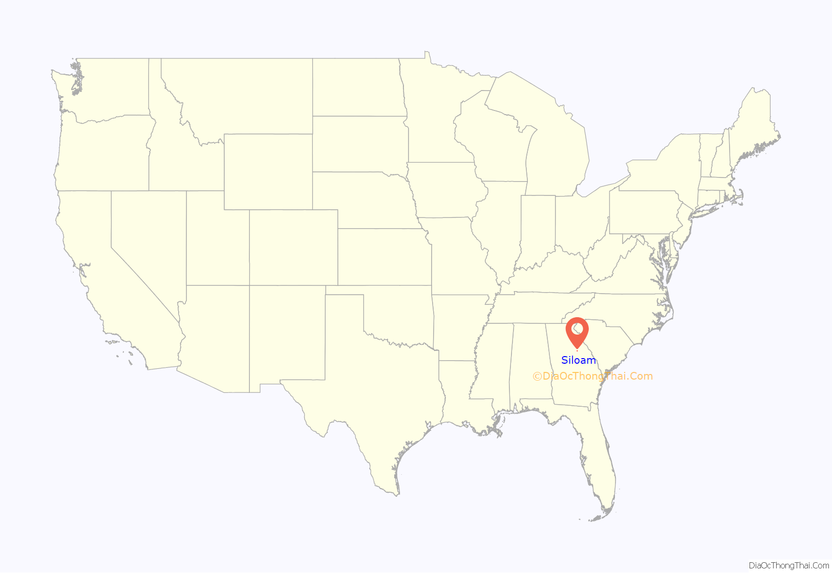
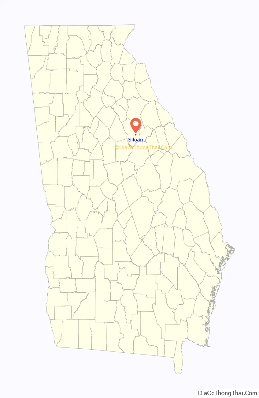
Siloam location map. Where is Siloam town?
History
Siloam was originally called “Smyrna”, and under the latter name permanent settlement was first made in the 1840s. A post office called Siloam was established in 1871. The present name is after the ancient Siloam tunnel, a place mentioned in the Hebrew Bible.
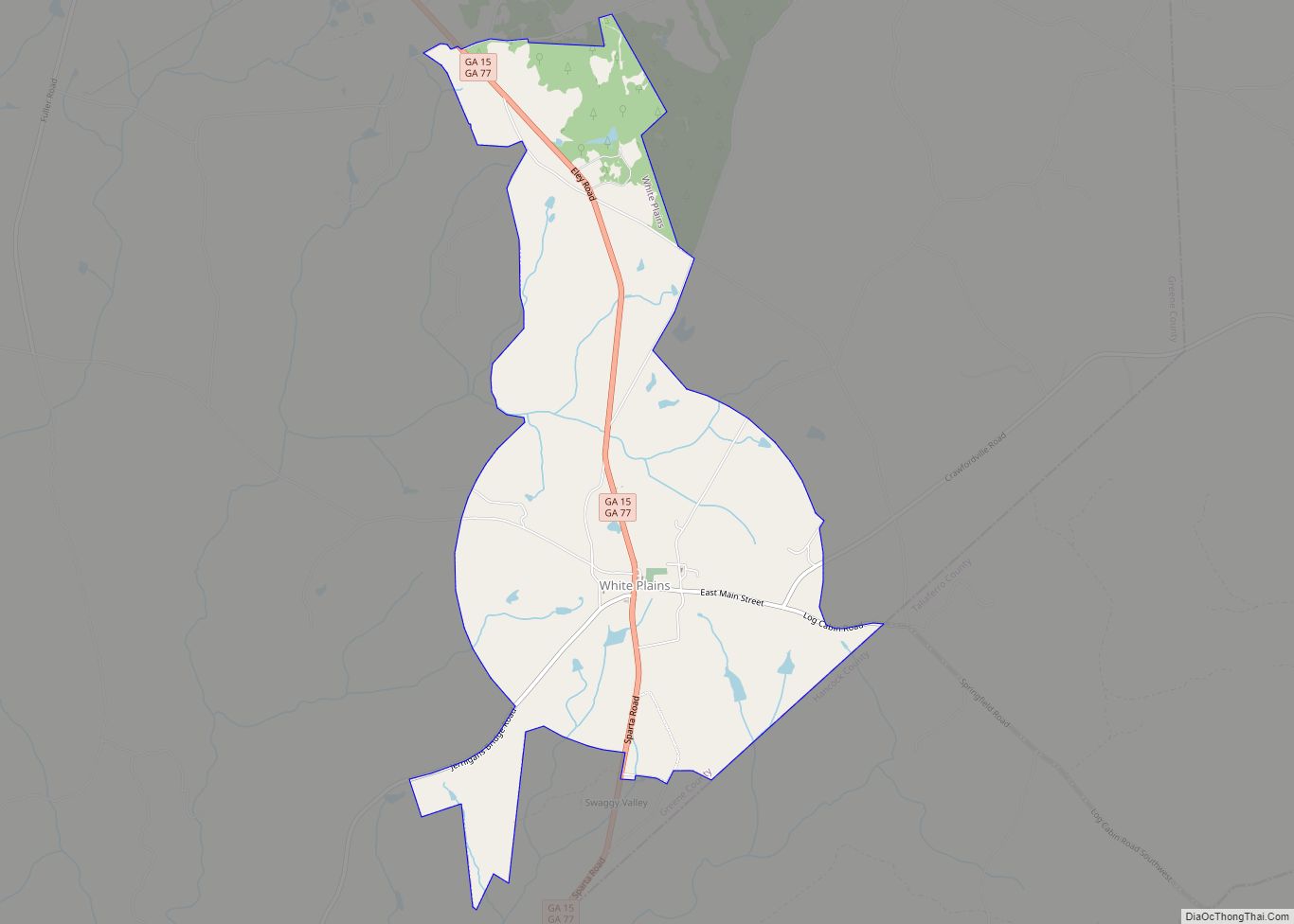
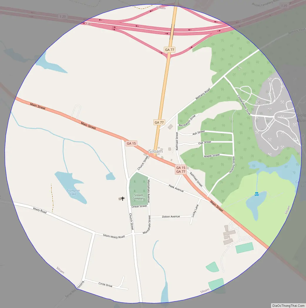
Siloam Road Map
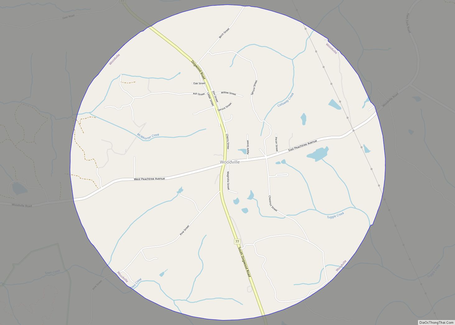
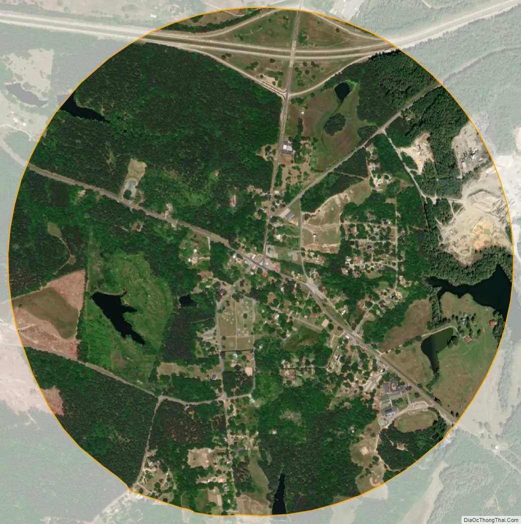
Siloam city Satellite Map
Geography
Siloam is located in eastern Greene County at 33°32′8″N 83°4′50″W / 33.53556°N 83.08056°W / 33.53556; -83.08056 (33.535691, -83.080443). Georgia State Route 15 passes through the town as Main Street, leading northwest 7 miles (11 km) to Greensboro, the county seat, and south 5.5 miles (8.9 km) to White Plains. State Route 77 leads north from the center of town 6 miles (10 km) to Union Point. Interstate 20 passes through the northern side of town, with access from Exit 138 (State Route 77). I-20 leads east 64 miles (103 km) to Augusta and west 80 miles (130 km) to Atlanta.
According to the United States Census Bureau, Siloam has a total area of 1.2 square miles (3.2 km), of which 0.031 square miles (0.08 km), or 2.38%, is water.
See also
Map of Georgia State and its subdivision:- Appling
- Atkinson
- Bacon
- Baker
- Baldwin
- Banks
- Barrow
- Bartow
- Ben Hill
- Berrien
- Bibb
- Bleckley
- Brantley
- Brooks
- Bryan
- Bulloch
- Burke
- Butts
- Calhoun
- Camden
- Candler
- Carroll
- Catoosa
- Charlton
- Chatham
- Chattahoochee
- Chattooga
- Cherokee
- Clarke
- Clay
- Clayton
- Clinch
- Cobb
- Coffee
- Colquitt
- Columbia
- Cook
- Coweta
- Crawford
- Crisp
- Dade
- Dawson
- Decatur
- DeKalb
- Dodge
- Dooly
- Dougherty
- Douglas
- Early
- Echols
- Effingham
- Elbert
- Emanuel
- Evans
- Fannin
- Fayette
- Floyd
- Forsyth
- Franklin
- Fulton
- Gilmer
- Glascock
- Glynn
- Gordon
- Grady
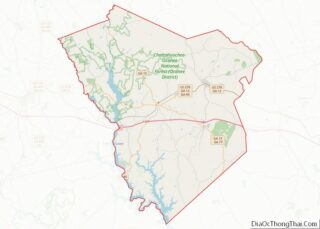
- Greene
- Gwinnett
- Habersham
- Hall
- Hancock
- Haralson
- Harris
- Hart
- Heard
- Henry
- Houston
- Irwin
- Jackson
- Jasper
- Jeff Davis
- Jefferson
- Jenkins
- Johnson
- Jones
- Lamar
- Lanier
- Laurens
- Lee
- Liberty
- Lincoln
- Long
- Lowndes
- Lumpkin
- Macon
- Madison
- Marion
- McDuffie
- McIntosh
- Meriwether
- Miller
- Mitchell
- Monroe
- Montgomery
- Morgan
- Murray
- Muscogee
- Newton
- Oconee
- Oglethorpe
- Paulding
- Peach
- Pickens
- Pierce
- Pike
- Polk
- Pulaski
- Putnam
- Quitman
- Rabun
- Randolph
- Richmond
- Rockdale
- Schley
- Screven
- Seminole
- Spalding
- Stephens
- Stewart
- Sumter
- Talbot
- Taliaferro
- Tattnall
- Taylor
- Telfair
- Terrell
- Thomas
- Tift
- Toombs
- Towns
- Treutlen
- Troup
- Turner
- Twiggs
- Union
- Upson
- Walker
- Walton
- Ware
- Warren
- Washington
- Wayne
- Webster
- Wheeler
- White
- Whitfield
- Wilcox
- Wilkes
- Wilkinson
- Worth
- Alabama
- Alaska
- Arizona
- Arkansas
- California
- Colorado
- Connecticut
- Delaware
- District of Columbia
- Florida
- Georgia
- Hawaii
- Idaho
- Illinois
- Indiana
- Iowa
- Kansas
- Kentucky
- Louisiana
- Maine
- Maryland
- Massachusetts
- Michigan
- Minnesota
- Mississippi
- Missouri
- Montana
- Nebraska
- Nevada
- New Hampshire
- New Jersey
- New Mexico
- New York
- North Carolina
- North Dakota
- Ohio
- Oklahoma
- Oregon
- Pennsylvania
- Rhode Island
- South Carolina
- South Dakota
- Tennessee
- Texas
- Utah
- Vermont
- Virginia
- Washington
- West Virginia
- Wisconsin
- Wyoming