Tyrone is a town in Fayette County, Georgia, United States. The population was 6,879 at the 2010 census, up from 3,916 in 2000. The estimated population in 2018 was 7,388. It is a part of the Atlanta metropolitan area.
| Name: | Tyrone town |
|---|---|
| LSAD Code: | 43 |
| LSAD Description: | town (suffix) |
| State: | Georgia |
| County: | Fayette County |
| Elevation: | 981 ft (299 m) |
| Total Area: | 12.88 sq mi (33.36 km²) |
| Land Area: | 12.51 sq mi (32.39 km²) |
| Water Area: | 0.38 sq mi (0.97 km²) |
| Total Population: | 7,658 |
| Population Density: | 612.35/sq mi (236.44/km²) |
| ZIP code: | 30290 |
| Area code: | 770, 678 |
| FIPS code: | 1378044 |
| GNISfeature ID: | 0324475 |
| Website: | tyrone.org |
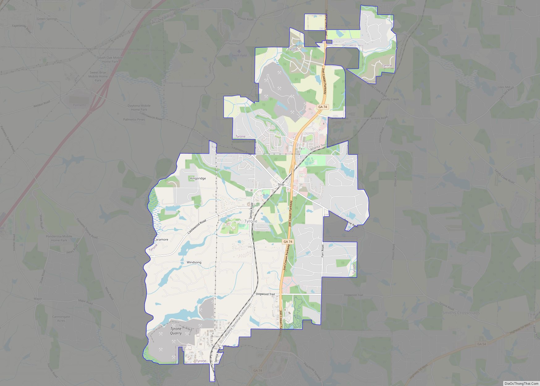
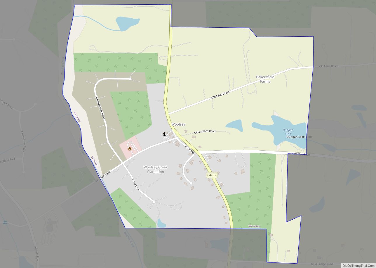
Online Interactive Map
Click on ![]() to view map in "full screen" mode.
to view map in "full screen" mode.
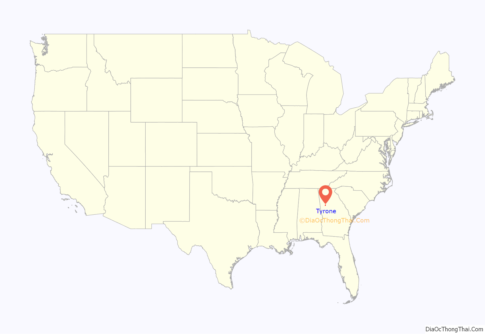
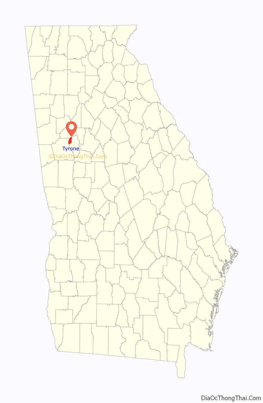
Tyrone location map. Where is Tyrone town?
History
The Georgia General Assembly incorporated Tyrone as a town in 1911. The community’s name is a transfer from County Tyrone, in Northern Ireland.
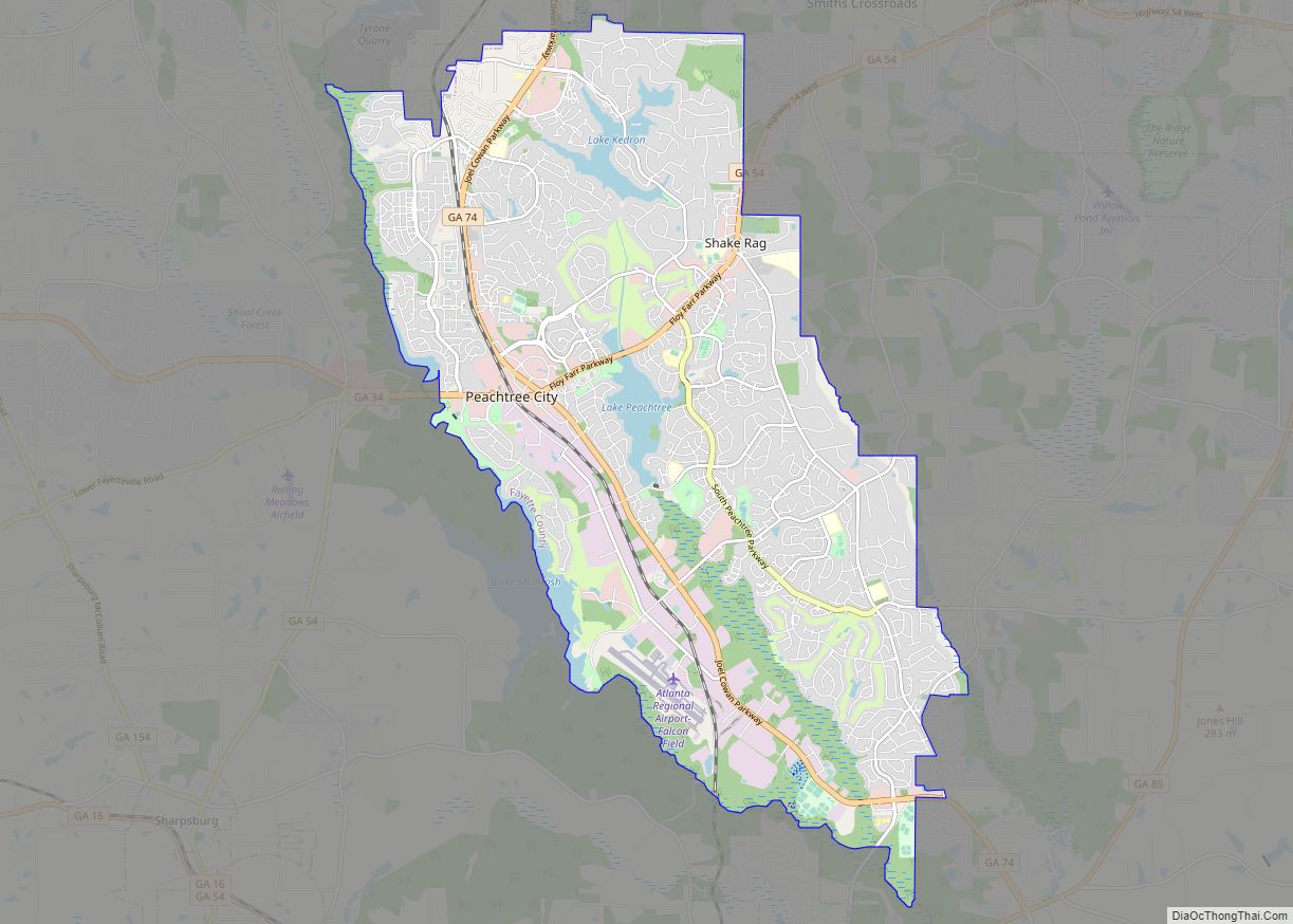
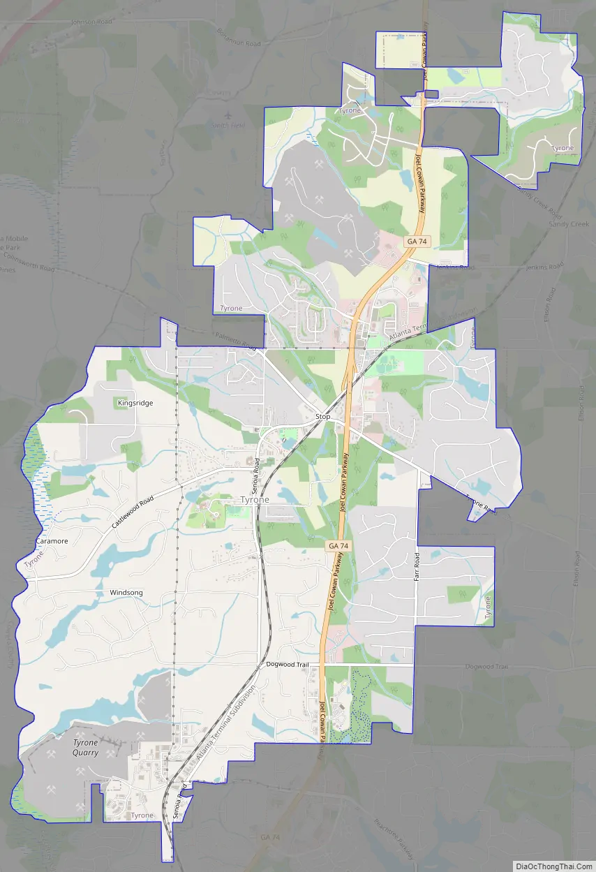
Tyrone Road Map
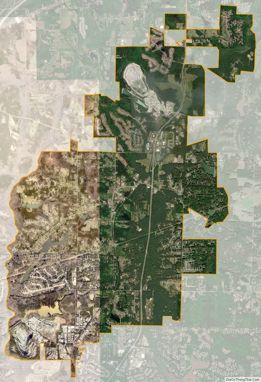
Tyrone city Satellite Map
Geography
Tyrone is located in the northwest corner of Fayette County at 33°28′25″N 84°35′28″W / 33.47361°N 84.59111°W / 33.47361; -84.59111 (33.473563, -84.591229). It is bordered to the south by Peachtree City, to the west by Coweta County, across Line Creek, and the north by Fulton County.
Georgia State Route 74, the Joel Cowan Parkway, passes through Tyrone, leading north 5 miles (8 km) to Interstate 85 on the south side of Fairburn. Downtown Atlanta is 25 miles (40 km) northeast of Tyrone via SR 74 and I-85.
According to the United States Census Bureau, Tyrone has a total area of 12.9 square miles (33.3 km), of which 12.5 square miles (32.3 km) is land and 0.4 square miles (1.0 km), or 2.94%, is water.
See also
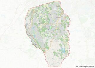
Map of Georgia State and its subdivision:- Appling
- Atkinson
- Bacon
- Baker
- Baldwin
- Banks
- Barrow
- Bartow
- Ben Hill
- Berrien
- Bibb
- Bleckley
- Brantley
- Brooks
- Bryan
- Bulloch
- Burke
- Butts
- Calhoun
- Camden
- Candler
- Carroll
- Catoosa
- Charlton
- Chatham
- Chattahoochee
- Chattooga
- Cherokee
- Clarke
- Clay
- Clayton
- Clinch
- Cobb
- Coffee
- Colquitt
- Columbia
- Cook
- Coweta
- Crawford
- Crisp
- Dade
- Dawson
- Decatur
- DeKalb
- Dodge
- Dooly
- Dougherty
- Douglas
- Early
- Echols
- Effingham
- Elbert
- Emanuel
- Evans
- Fannin
- Fayette
- Floyd
- Forsyth
- Franklin
- Fulton
- Gilmer
- Glascock
- Glynn
- Gordon
- Grady
- Greene
- Gwinnett
- Habersham
- Hall
- Hancock
- Haralson
- Harris
- Hart
- Heard
- Henry
- Houston
- Irwin
- Jackson
- Jasper
- Jeff Davis
- Jefferson
- Jenkins
- Johnson
- Jones
- Lamar
- Lanier
- Laurens
- Lee
- Liberty
- Lincoln
- Long
- Lowndes
- Lumpkin
- Macon
- Madison
- Marion
- McDuffie
- McIntosh
- Meriwether
- Miller
- Mitchell
- Monroe
- Montgomery
- Morgan
- Murray
- Muscogee
- Newton
- Oconee
- Oglethorpe
- Paulding
- Peach
- Pickens
- Pierce
- Pike
- Polk
- Pulaski
- Putnam
- Quitman
- Rabun
- Randolph
- Richmond
- Rockdale
- Schley
- Screven
- Seminole
- Spalding
- Stephens
- Stewart
- Sumter
- Talbot
- Taliaferro
- Tattnall
- Taylor
- Telfair
- Terrell
- Thomas
- Tift
- Toombs
- Towns
- Treutlen
- Troup
- Turner
- Twiggs
- Union
- Upson
- Walker
- Walton
- Ware
- Warren
- Washington
- Wayne
- Webster
- Wheeler
- White
- Whitfield
- Wilcox
- Wilkes
- Wilkinson
- Worth
- Alabama
- Alaska
- Arizona
- Arkansas
- California
- Colorado
- Connecticut
- Delaware
- District of Columbia
- Florida
- Georgia
- Hawaii
- Idaho
- Illinois
- Indiana
- Iowa
- Kansas
- Kentucky
- Louisiana
- Maine
- Maryland
- Massachusetts
- Michigan
- Minnesota
- Mississippi
- Missouri
- Montana
- Nebraska
- Nevada
- New Hampshire
- New Jersey
- New Mexico
- New York
- North Carolina
- North Dakota
- Ohio
- Oklahoma
- Oregon
- Pennsylvania
- Rhode Island
- South Carolina
- South Dakota
- Tennessee
- Texas
- Utah
- Vermont
- Virginia
- Washington
- West Virginia
- Wisconsin
- Wyoming