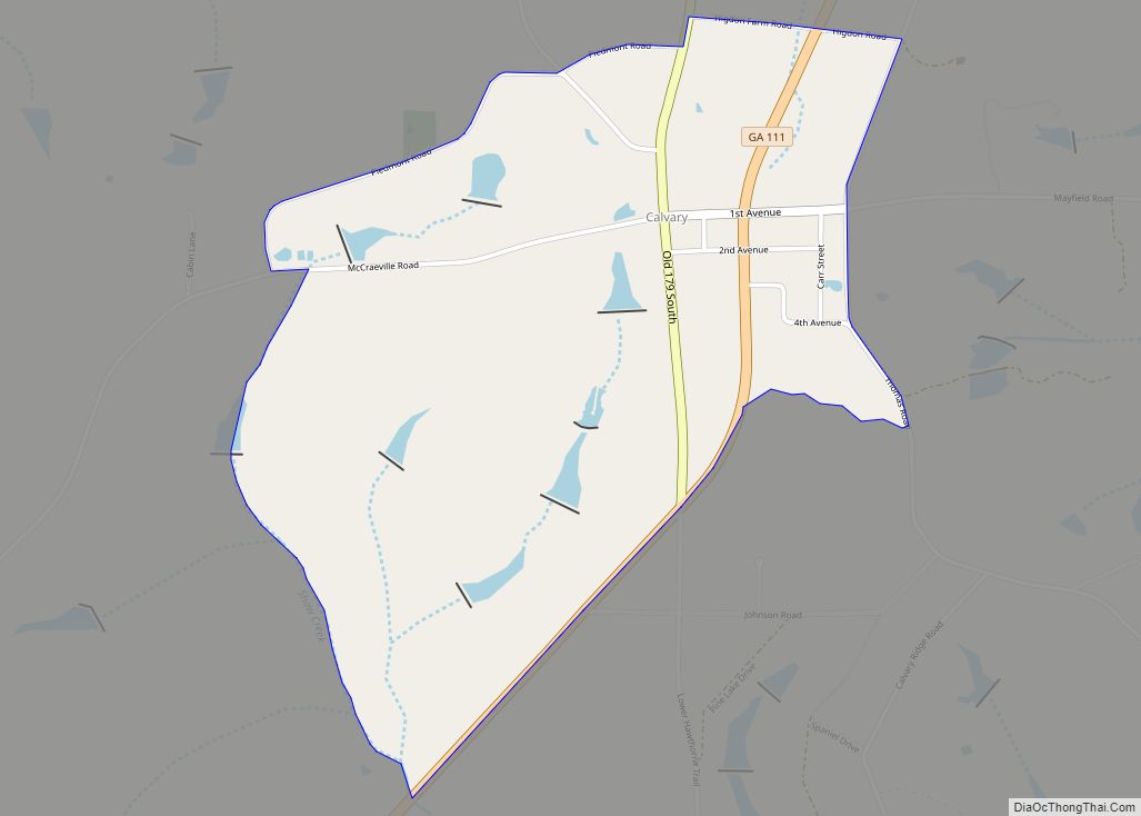
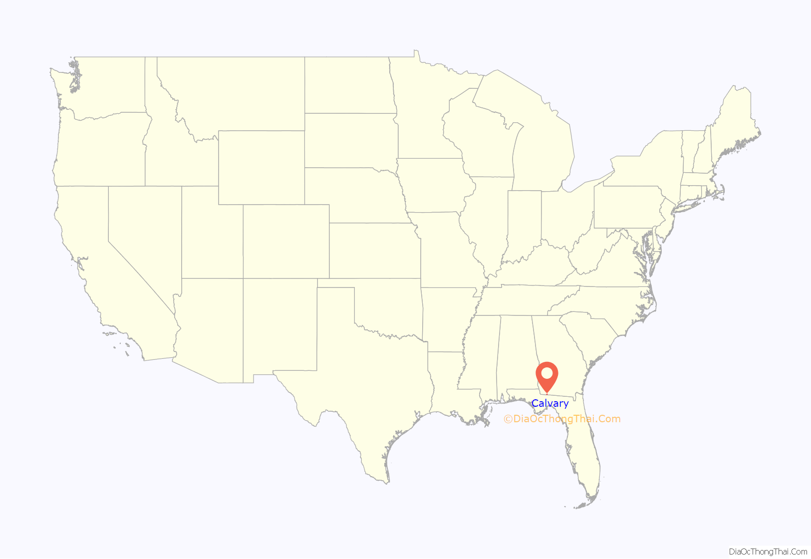
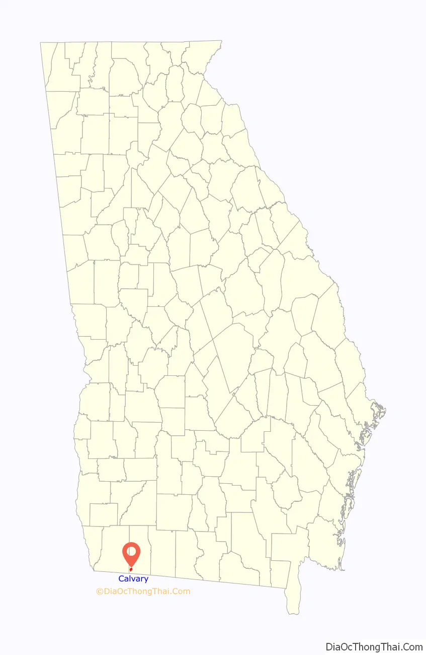
Calvary is a census-designated place and unincorporated community in Grady County, Georgia, United States. As of the 2010 census its population was 161. It is located along Georgia State Route 111, 15 miles (24 km) southwest of Cairo, the Grady County seat. Tallahassee, Florida, is 23 miles (37 km) to the south.
Agriculture is an important part of the local economy. The top crops in the county are cotton, corn and peanuts, while chickens are overwhelmingly the most important livestock. Hurricane Michael struck the region on Wednesday, October 10, 2018, causing catastrophic damage to agriculture.
| Name: | Calvary CDP |
|---|---|
| LSAD Code: | 57 |
| LSAD Description: | CDP (suffix) |
| State: | Georgia |
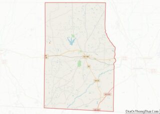
| County: | Grady County |
| Elevation: | 260 ft (80 m) |
| Total Area: | 1.57 sq mi (4.07 km²) |
| Land Area: | 1.54 sq mi (3.98 km²) |
| Water Area: | 0.04 sq mi (0.09 km²) |
| Total Population: | 129 |
| Population Density: | 83.88/sq mi (32.38/km²) |
| ZIP code: | 39829 |
| Area code: | 229 |
| FIPS code: | 1312484 |
| GNISfeature ID: | 0354940 |
Online Interactive Map
Click on ![]() to view map in "full screen" mode.
to view map in "full screen" mode.
Calvary location map. Where is Calvary CDP?
History
The area where Calvary is located was settled circa 1835-1836 by emigrants from Sampson County, North Carolina. Settlers claimed they chose the area after hearing claims that the soil was similar to their home county, and so would support similar crops. The community was referred to by some as the North Carolina settlement after these Carolina settlers.
A.J. Johnson’s 1863 “Map of Georgia and Alabama” does not identify Calvary by name, but an 1883 Map of Georgia by Georgia Franklin Cram does identify Calvary in Decatur County. In 1910 the community is labeled Calvary on the “Rand McNally Map of Georgia.”
On 15 June 1869 Harrison Fairbanks was named Postmaster in Calvary, Georgia (then part of Decatur County). Grady County, including Calvary, was founded from parts of Decatur County and Thomas County on August 17, 1905.
Historical Census statistics offer a picture of a healthy agricultural community in the century after the Carolina settlement began in the mid-1830s. While none of the names of the founding families can be found in the 1830 Decatur County, Georgia Census, by 1840 names like Butler, Faircloth, Herring, Higdon, Maxwell and Williams with North Carolina roots are scattered through the 1,870 individuals in the “Decatur County 553rd District G.M., commanded by Captain Wamack” (Calculated by review of records at Ancestry.com subscription service).
By 1870, the Harrison Precinct with post office in Calvary in Decatur County, Georgia records 1,168 individuals in 188 dwellings and households. In 1880 Harrison Precinct is designated at Militia District 553 in Decatur County, Georgia. There are 194 households and dwellings, and 1,003 individuals. The 1890 Census for Decatur County, Georgia is lost. The 1900 Census for Calvary (Militia District 553) in Decatur County shows 1,385 individuals in 284 households and dwellings. (Calculated by review of records at Ancestry.com subscription service).
By 1910 Calvary is in Grady County, Georgia. The county was formed in 1905. The 1910 Census of Higdon Militia District 553 lists 258 households and 1,351 individuals. (Calculated by review of records at Ancestry.com subscription service). In 1920 those numbers were 286 households and 1,488 individuals. The 1930 Census recorded 310 households, 309 dwellings and 1,674 individuals. By 1940, the number of households had grown to 351 but the total population was down to 1,485 individuals.
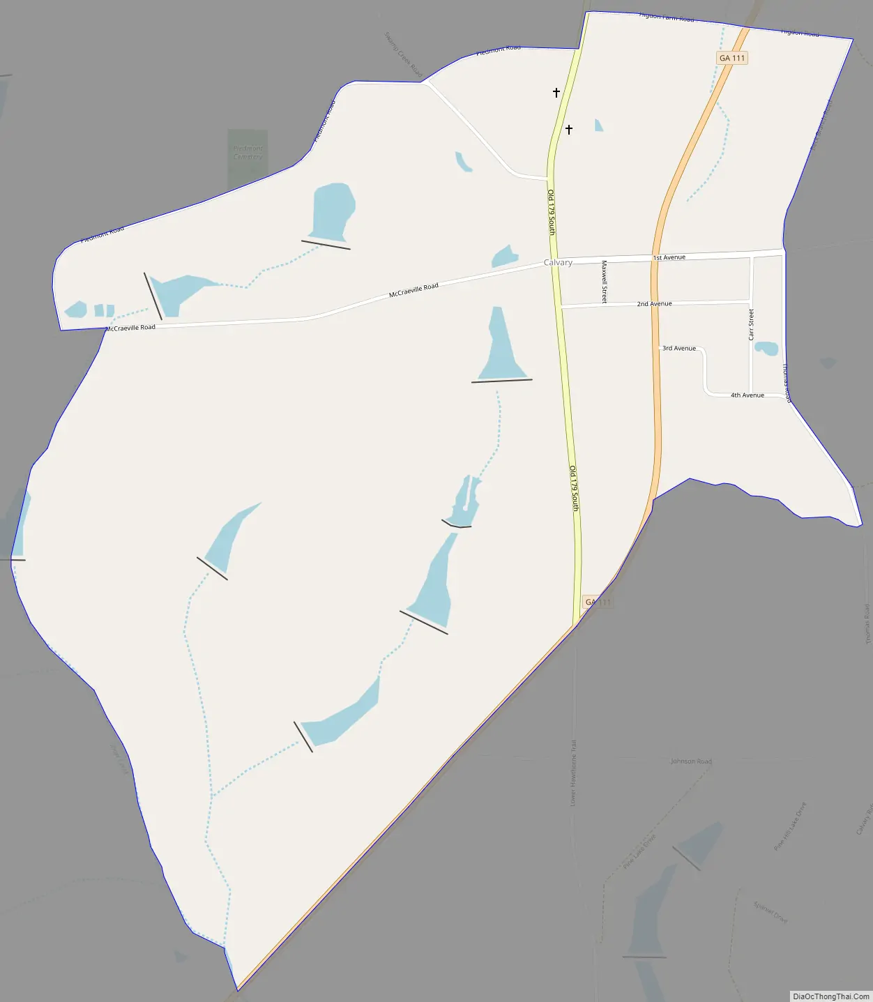
Calvary Road Map
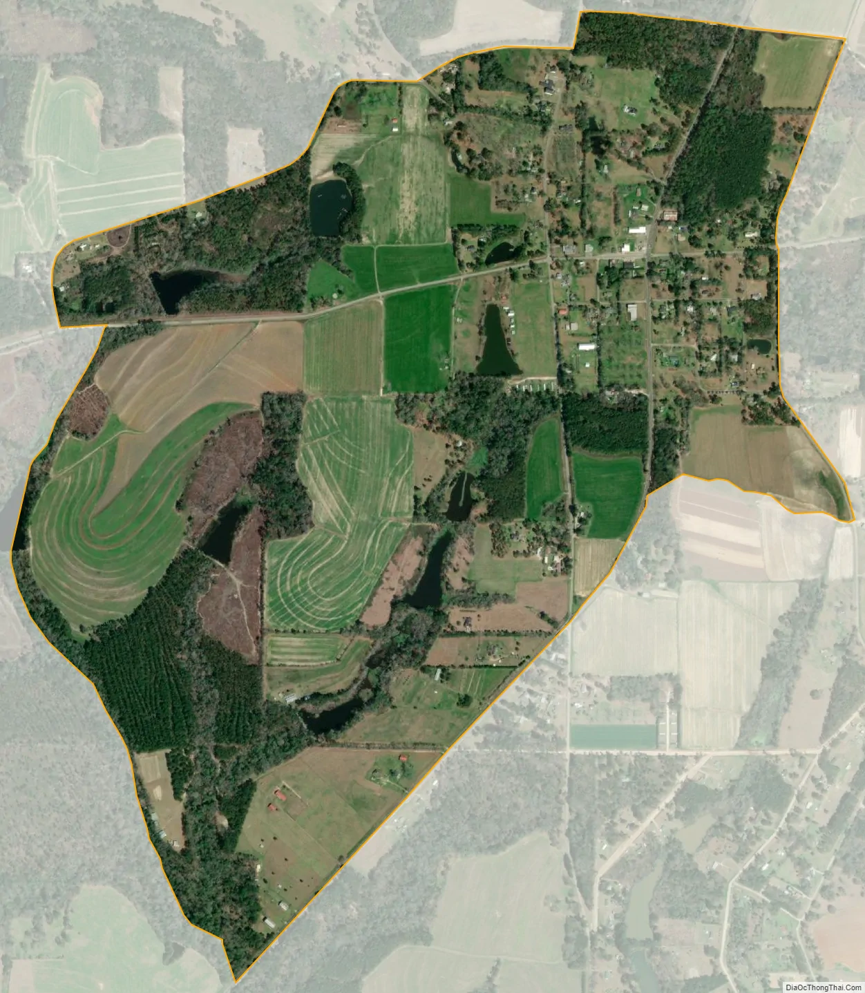
Calvary city Satellite Map
See also
Map of Georgia State and its subdivision:- Appling
- Atkinson
- Bacon
- Baker
- Baldwin
- Banks
- Barrow
- Bartow
- Ben Hill
- Berrien
- Bibb
- Bleckley
- Brantley
- Brooks
- Bryan
- Bulloch
- Burke
- Butts
- Calhoun
- Camden
- Candler
- Carroll
- Catoosa
- Charlton
- Chatham
- Chattahoochee
- Chattooga
- Cherokee
- Clarke
- Clay
- Clayton
- Clinch
- Cobb
- Coffee
- Colquitt
- Columbia
- Cook
- Coweta
- Crawford
- Crisp
- Dade
- Dawson
- Decatur
- DeKalb
- Dodge
- Dooly
- Dougherty
- Douglas
- Early
- Echols
- Effingham
- Elbert
- Emanuel
- Evans
- Fannin
- Fayette
- Floyd
- Forsyth
- Franklin
- Fulton
- Gilmer
- Glascock
- Glynn
- Gordon
- Grady
- Greene
- Gwinnett
- Habersham
- Hall
- Hancock
- Haralson
- Harris
- Hart
- Heard
- Henry
- Houston
- Irwin
- Jackson
- Jasper
- Jeff Davis
- Jefferson
- Jenkins
- Johnson
- Jones
- Lamar
- Lanier
- Laurens
- Lee
- Liberty
- Lincoln
- Long
- Lowndes
- Lumpkin
- Macon
- Madison
- Marion
- McDuffie
- McIntosh
- Meriwether
- Miller
- Mitchell
- Monroe
- Montgomery
- Morgan
- Murray
- Muscogee
- Newton
- Oconee
- Oglethorpe
- Paulding
- Peach
- Pickens
- Pierce
- Pike
- Polk
- Pulaski
- Putnam
- Quitman
- Rabun
- Randolph
- Richmond
- Rockdale
- Schley
- Screven
- Seminole
- Spalding
- Stephens
- Stewart
- Sumter
- Talbot
- Taliaferro
- Tattnall
- Taylor
- Telfair
- Terrell
- Thomas
- Tift
- Toombs
- Towns
- Treutlen
- Troup
- Turner
- Twiggs
- Union
- Upson
- Walker
- Walton
- Ware
- Warren
- Washington
- Wayne
- Webster
- Wheeler
- White
- Whitfield
- Wilcox
- Wilkes
- Wilkinson
- Worth
- Alabama
- Alaska
- Arizona
- Arkansas
- California
- Colorado
- Connecticut
- Delaware
- District of Columbia
- Florida
- Georgia
- Hawaii
- Idaho
- Illinois
- Indiana
- Iowa
- Kansas
- Kentucky
- Louisiana
- Maine
- Maryland
- Massachusetts
- Michigan
- Minnesota
- Mississippi
- Missouri
- Montana
- Nebraska
- Nevada
- New Hampshire
- New Jersey
- New Mexico
- New York
- North Carolina
- North Dakota
- Ohio
- Oklahoma
- Oregon
- Pennsylvania
- Rhode Island
- South Carolina
- South Dakota
- Tennessee
- Texas
- Utah
- Vermont
- Virginia
- Washington
- West Virginia
- Wisconsin
- Wyoming