Dillard is a town in Rabun County, Georgia, United States. As of the 2020 census, the city population was 337.
| Name: | Dillard city |
|---|---|
| LSAD Code: | 25 |
| LSAD Description: | city (suffix) |
| State: | Georgia |
| County: | Rabun County |
| Elevation: | 2,146 ft (654 m) |
| Total Area: | 1.79 sq mi (4.63 km²) |
| Land Area: | 1.76 sq mi (4.56 km²) |
| Water Area: | 0.03 sq mi (0.07 km²) |
| Total Population: | 337 |
| Population Density: | 191.37/sq mi (73.89/km²) |
| ZIP code: | 30537 |
| Area code: | 706 |
| FIPS code: | 1322976 |
| GNISfeature ID: | 2404229 |
| Website: | dillardgeorgia.com |
Online Interactive Map
Click on ![]() to view map in "full screen" mode.
to view map in "full screen" mode.
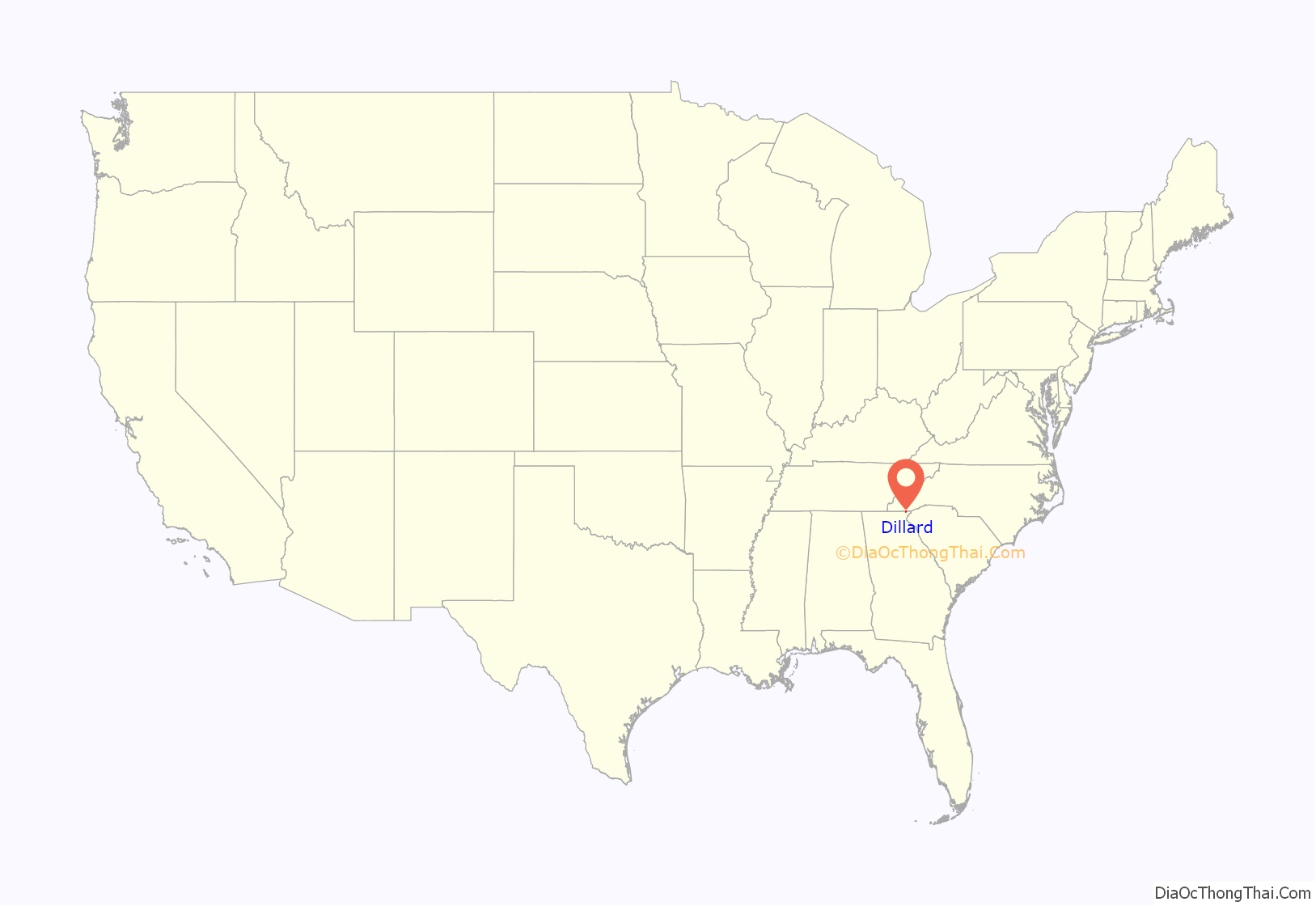
Dillard location map. Where is Dillard city?
History
John Dillard settled in the area around what is now Dillard with his son, James Dillard, circa 1823. James took title to 1,000 acres (4.0 km) of land by purchasing the lottery rights of land holders in Rabun County. John Dillard served as a lieutenant in the Virginia Militia in the American Revolution, during which he was in the Battle of Guilford Court House and other battles. Both James and John were residents of Buncombe County, North Carolina prior to their settlement on lands now comprising Dillard.
The small town is now known primarily for the Dillard House, a regionally well-known inn, restaurant and conference center that serves traditional southern fare. John M. Dillard of Greenville, South Carolina, has extensively documented the history of John Dillard and his descendants.
The Georgia General Assembly incorporated the place in 1906 as the “Town of Dillard”.
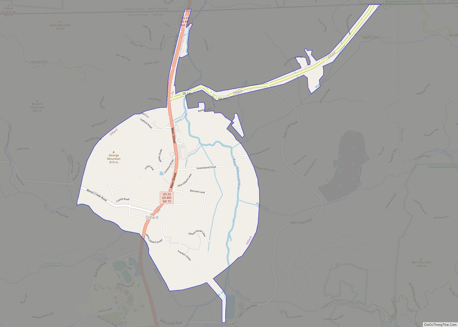
Dillard Road Map
Dillard city Satellite Map
Geography
According to the United States Census Bureau, Dillard has a total area of 1.5 square miles (3.9 km), all land. The city is located in the Little Tennessee River valley, immediately south of the North Carolina border and is surrounded by the Blue Ridge Mountains.
See also
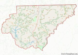
Map of Georgia State and its subdivision:- Appling
- Atkinson
- Bacon
- Baker
- Baldwin
- Banks
- Barrow
- Bartow
- Ben Hill
- Berrien
- Bibb
- Bleckley
- Brantley
- Brooks
- Bryan
- Bulloch
- Burke
- Butts
- Calhoun
- Camden
- Candler
- Carroll
- Catoosa
- Charlton
- Chatham
- Chattahoochee
- Chattooga
- Cherokee
- Clarke
- Clay
- Clayton
- Clinch
- Cobb
- Coffee
- Colquitt
- Columbia
- Cook
- Coweta
- Crawford
- Crisp
- Dade
- Dawson
- Decatur
- DeKalb
- Dodge
- Dooly
- Dougherty
- Douglas
- Early
- Echols
- Effingham
- Elbert
- Emanuel
- Evans
- Fannin
- Fayette
- Floyd
- Forsyth
- Franklin
- Fulton
- Gilmer
- Glascock
- Glynn
- Gordon
- Grady
- Greene
- Gwinnett
- Habersham
- Hall
- Hancock
- Haralson
- Harris
- Hart
- Heard
- Henry
- Houston
- Irwin
- Jackson
- Jasper
- Jeff Davis
- Jefferson
- Jenkins
- Johnson
- Jones
- Lamar
- Lanier
- Laurens
- Lee
- Liberty
- Lincoln
- Long
- Lowndes
- Lumpkin
- Macon
- Madison
- Marion
- McDuffie
- McIntosh
- Meriwether
- Miller
- Mitchell
- Monroe
- Montgomery
- Morgan
- Murray
- Muscogee
- Newton
- Oconee
- Oglethorpe
- Paulding
- Peach
- Pickens
- Pierce
- Pike
- Polk
- Pulaski
- Putnam
- Quitman
- Rabun
- Randolph
- Richmond
- Rockdale
- Schley
- Screven
- Seminole
- Spalding
- Stephens
- Stewart
- Sumter
- Talbot
- Taliaferro
- Tattnall
- Taylor
- Telfair
- Terrell
- Thomas
- Tift
- Toombs
- Towns
- Treutlen
- Troup
- Turner
- Twiggs
- Union
- Upson
- Walker
- Walton
- Ware
- Warren
- Washington
- Wayne
- Webster
- Wheeler
- White
- Whitfield
- Wilcox
- Wilkes
- Wilkinson
- Worth
- Alabama
- Alaska
- Arizona
- Arkansas
- California
- Colorado
- Connecticut
- Delaware
- District of Columbia
- Florida
- Georgia
- Hawaii
- Idaho
- Illinois
- Indiana
- Iowa
- Kansas
- Kentucky
- Louisiana
- Maine
- Maryland
- Massachusetts
- Michigan
- Minnesota
- Mississippi
- Missouri
- Montana
- Nebraska
- Nevada
- New Hampshire
- New Jersey
- New Mexico
- New York
- North Carolina
- North Dakota
- Ohio
- Oklahoma
- Oregon
- Pennsylvania
- Rhode Island
- South Carolina
- South Dakota
- Tennessee
- Texas
- Utah
- Vermont
- Virginia
- Washington
- West Virginia
- Wisconsin
- Wyoming
