Iron City is a town in Seminole County, Georgia, United States. The population was 310 at the 2010 census.
| Name: | Iron City town |
|---|---|
| LSAD Code: | 43 |
| LSAD Description: | town (suffix) |
| State: | Georgia |
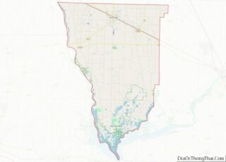
| County: | Seminole County |
| Elevation: | 144 ft (44 m) |
| Total Area: | 0.80 sq mi (2.07 km²) |
| Land Area: | 0.80 sq mi (2.07 km²) |
| Water Area: | 0.00 sq mi (0.00 km²) |
| Total Population: | 312 |
| Population Density: | 390.49/sq mi (150.86/km²) |
| ZIP code: | 31759, 39859 |
| Area code: | 229 |
| FIPS code: | 1341344 |
| GNISfeature ID: | 0332064 |
Online Interactive Map
Click on ![]() to view map in "full screen" mode.
to view map in "full screen" mode.
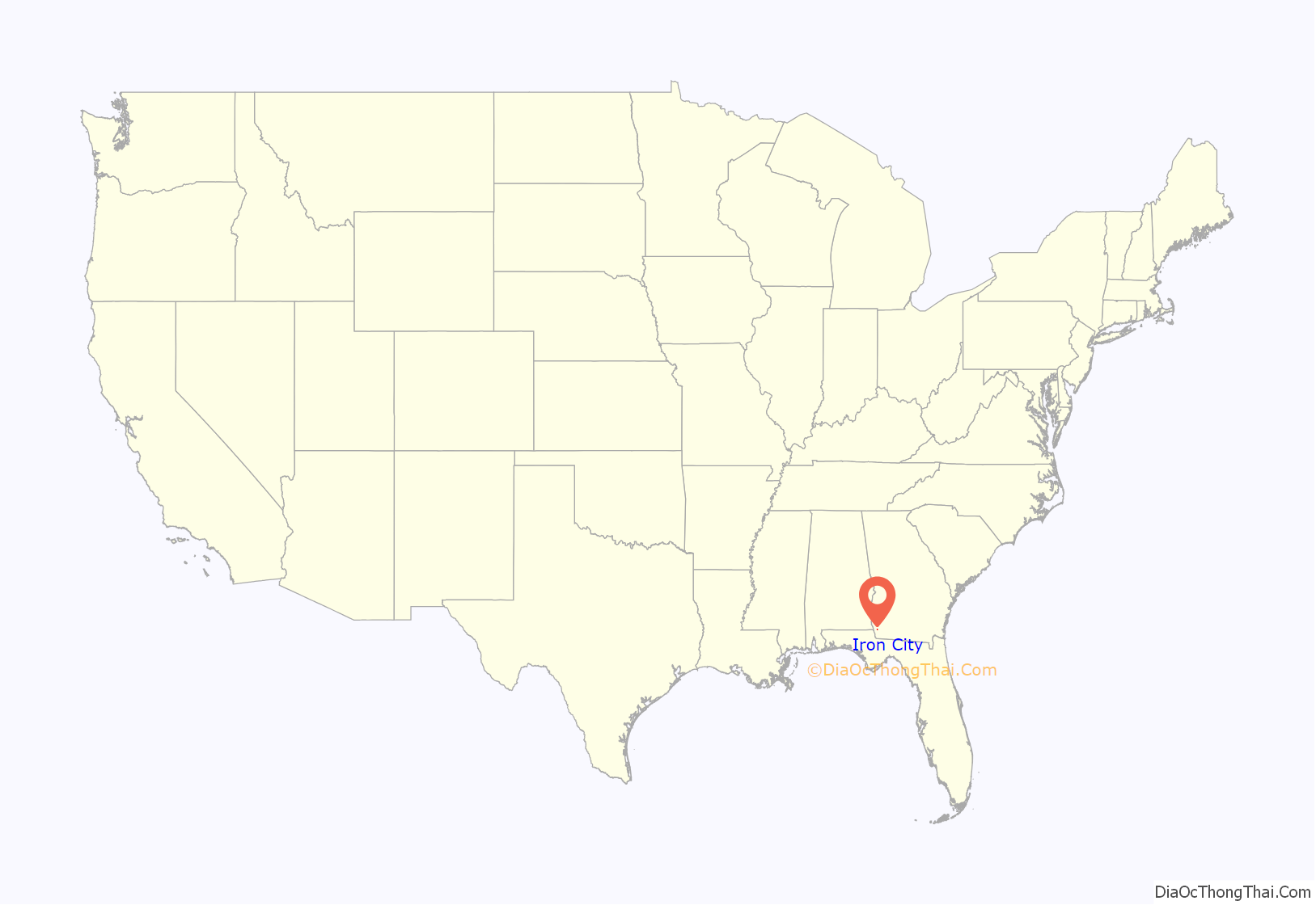
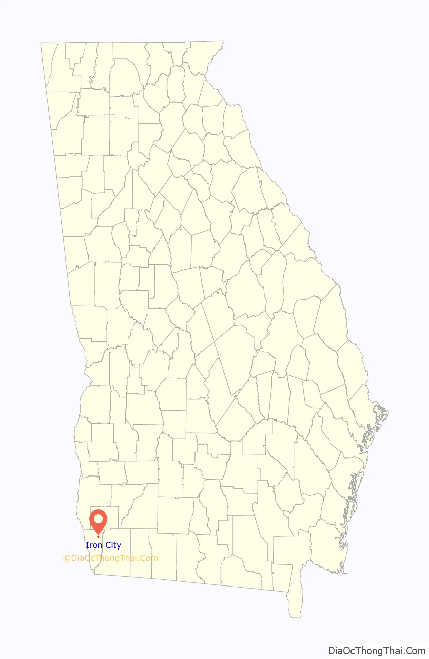
Iron City location map. Where is Iron City town?
History
The original name of Iron City was Brooklyn. When the town was incorporated on December 20, 1900, its name was changed because much of the town’s mail was sent to Brooklet, Georgia. According to the Seminole County Historical Society, it is believed that the name “Iron City” came about when a new well was being dug and hit a spot of iron ore. The citizens of Iron City thought that the discovery would bring great wealth to the people of the town.
The Alabama Midland Railroad was built near the town in 1889. A large two-story hotel housed the railroad crews.
Some of the first buildings on the site of Iron City were log cabins which sprang up around a saw mill, Southern Supply Company, and Joe Ausley’s Turpentine Distillery. According to Chastine Burke, who moved to Iron City in 1930, Iron City had a cotton gin, Strickland Cotton Gin, around 1936.
The citizens of Iron City originally had to travel a few miles to the community of to Rock Pond to pick up their mail. According to the Iron City Ladies’ Club, the first post office was established around 1889 in the back of a general merchandise store, with John L. Miller as the postmaster. Retired postmaster Sara Robinson stated that the new post office was built in 1962. In 1996, the town moved the post office to its present location on US Highway 84 and GA Highway 38.
According to the Ladies’ Club, the first mayor was Ish Strickland, who was appointed by the governor. His aldermen were J.L. Dickerson, E.S. Perry, John Lane, and W.D. Archer.
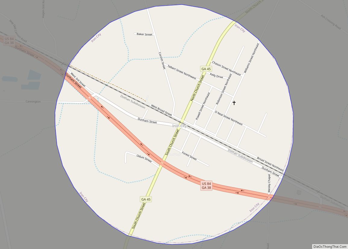
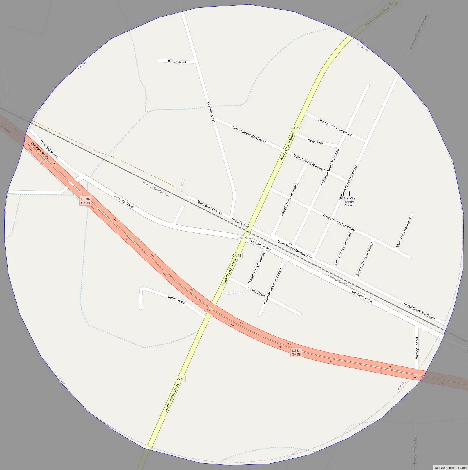
Iron City Road Map
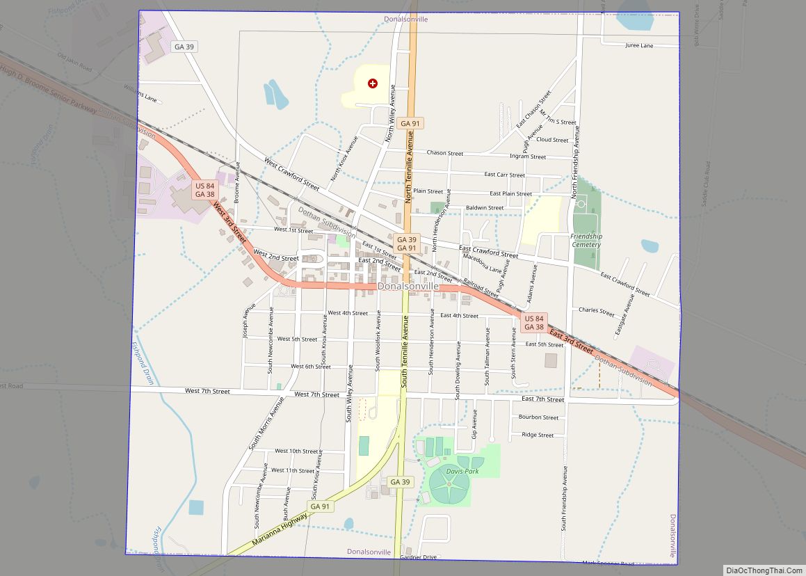
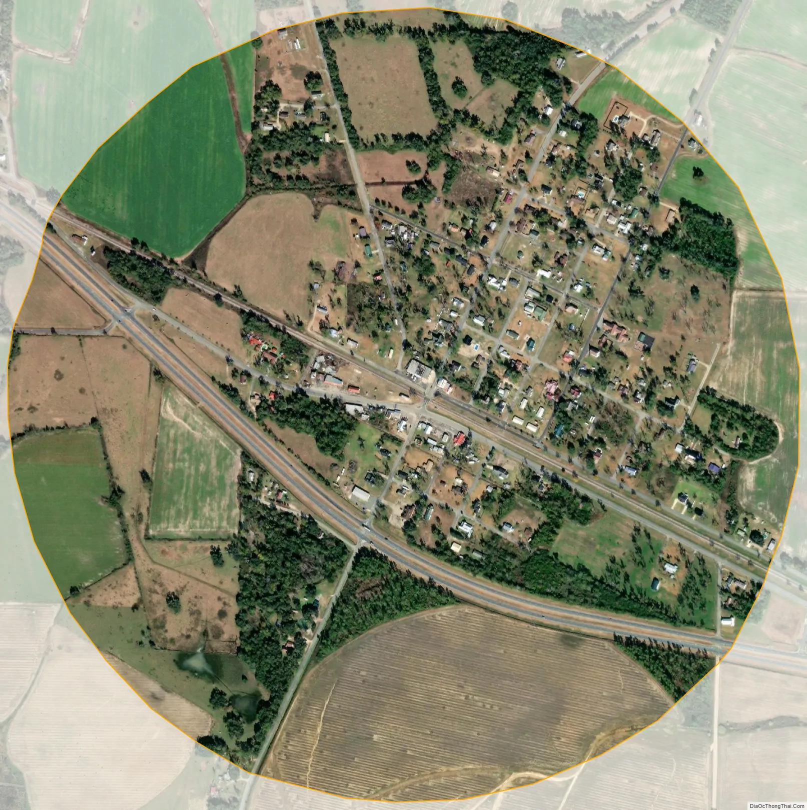
Iron City city Satellite Map
Geography
Iron City is located at 31°0′51″N 84°48′43″W / 31.01417°N 84.81194°W / 31.01417; -84.81194 (31.014217, -84.812070).
According to the United States Census Bureau, the town has a total area of 0.8 square miles (2.1 km) consisting solely of land.
When Iron City was reincorporated in 1908, the corporate limits of the town were to be one half-mile in every direction of the Atlantic Coast Line Railroad Depot, according to the Ladies Club. According to the census data for Iron City, the town has an area of 0.8 square miles (2.1 km). On the map, Iron City is located at 31.01333 N Latitude and -84.81306 W Longitude. It is 40 miles east of Dothan, Alabama and 17 miles west of Bainbridge.
See also
Map of Georgia State and its subdivision:- Appling
- Atkinson
- Bacon
- Baker
- Baldwin
- Banks
- Barrow
- Bartow
- Ben Hill
- Berrien
- Bibb
- Bleckley
- Brantley
- Brooks
- Bryan
- Bulloch
- Burke
- Butts
- Calhoun
- Camden
- Candler
- Carroll
- Catoosa
- Charlton
- Chatham
- Chattahoochee
- Chattooga
- Cherokee
- Clarke
- Clay
- Clayton
- Clinch
- Cobb
- Coffee
- Colquitt
- Columbia
- Cook
- Coweta
- Crawford
- Crisp
- Dade
- Dawson
- Decatur
- DeKalb
- Dodge
- Dooly
- Dougherty
- Douglas
- Early
- Echols
- Effingham
- Elbert
- Emanuel
- Evans
- Fannin
- Fayette
- Floyd
- Forsyth
- Franklin
- Fulton
- Gilmer
- Glascock
- Glynn
- Gordon
- Grady
- Greene
- Gwinnett
- Habersham
- Hall
- Hancock
- Haralson
- Harris
- Hart
- Heard
- Henry
- Houston
- Irwin
- Jackson
- Jasper
- Jeff Davis
- Jefferson
- Jenkins
- Johnson
- Jones
- Lamar
- Lanier
- Laurens
- Lee
- Liberty
- Lincoln
- Long
- Lowndes
- Lumpkin
- Macon
- Madison
- Marion
- McDuffie
- McIntosh
- Meriwether
- Miller
- Mitchell
- Monroe
- Montgomery
- Morgan
- Murray
- Muscogee
- Newton
- Oconee
- Oglethorpe
- Paulding
- Peach
- Pickens
- Pierce
- Pike
- Polk
- Pulaski
- Putnam
- Quitman
- Rabun
- Randolph
- Richmond
- Rockdale
- Schley
- Screven
- Seminole
- Spalding
- Stephens
- Stewart
- Sumter
- Talbot
- Taliaferro
- Tattnall
- Taylor
- Telfair
- Terrell
- Thomas
- Tift
- Toombs
- Towns
- Treutlen
- Troup
- Turner
- Twiggs
- Union
- Upson
- Walker
- Walton
- Ware
- Warren
- Washington
- Wayne
- Webster
- Wheeler
- White
- Whitfield
- Wilcox
- Wilkes
- Wilkinson
- Worth
- Alabama
- Alaska
- Arizona
- Arkansas
- California
- Colorado
- Connecticut
- Delaware
- District of Columbia
- Florida
- Georgia
- Hawaii
- Idaho
- Illinois
- Indiana
- Iowa
- Kansas
- Kentucky
- Louisiana
- Maine
- Maryland
- Massachusetts
- Michigan
- Minnesota
- Mississippi
- Missouri
- Montana
- Nebraska
- Nevada
- New Hampshire
- New Jersey
- New Mexico
- New York
- North Carolina
- North Dakota
- Ohio
- Oklahoma
- Oregon
- Pennsylvania
- Rhode Island
- South Carolina
- South Dakota
- Tennessee
- Texas
- Utah
- Vermont
- Virginia
- Washington
- West Virginia
- Wisconsin
- Wyoming