Talmo is a town in Jackson County, Georgia, United States. The population was 257 at the 2020 census.
Talmo calls itself “The Jewel of Jackson County”.
| Name: | Talmo town |
|---|---|
| LSAD Code: | 43 |
| LSAD Description: | town (suffix) |
| State: | Georgia |
| County: | Jackson County |
| Elevation: | 915 ft (279 m) |
| Total Area: | 3.09 sq mi (8.00 km²) |
| Land Area: | 3.06 sq mi (7.92 km²) |
| Water Area: | 0.03 sq mi (0.08 km²) |
| Total Population: | 257 |
| Population Density: | 83.99/sq mi (32.43/km²) |
| ZIP code: | 30575 |
| Area code: | 706 |
| FIPS code: | 1375412 |
| GNISfeature ID: | 0323901 |
| Website: | www.city-data.com/city/Talmo-Georgia.html |
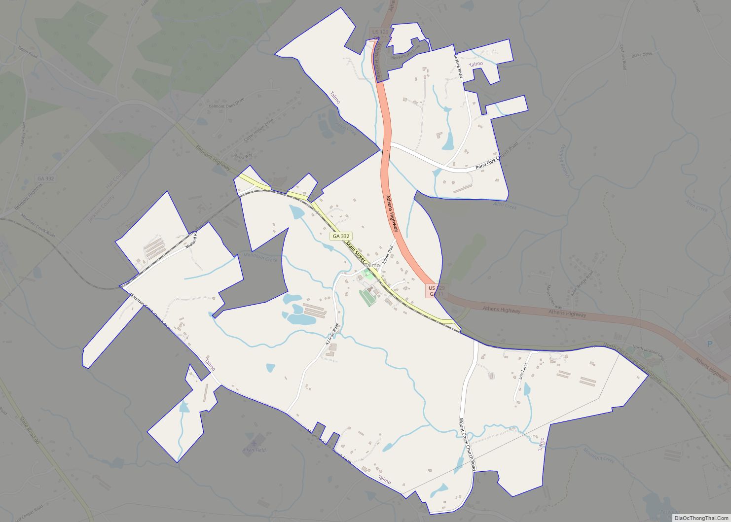
Online Interactive Map
Click on ![]() to view map in "full screen" mode.
to view map in "full screen" mode.
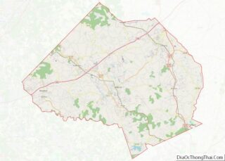
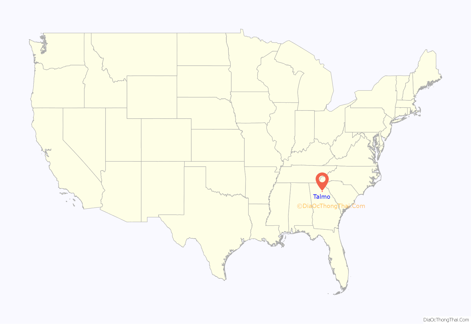
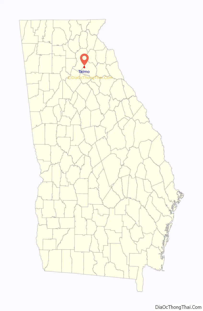
Talmo location map. Where is Talmo town?
History
“Talmo” is a name derived from the Creek language meaning “home of the Chief Tallassee”. The Georgia General Assembly incorporated Talmo as a town in 1920.
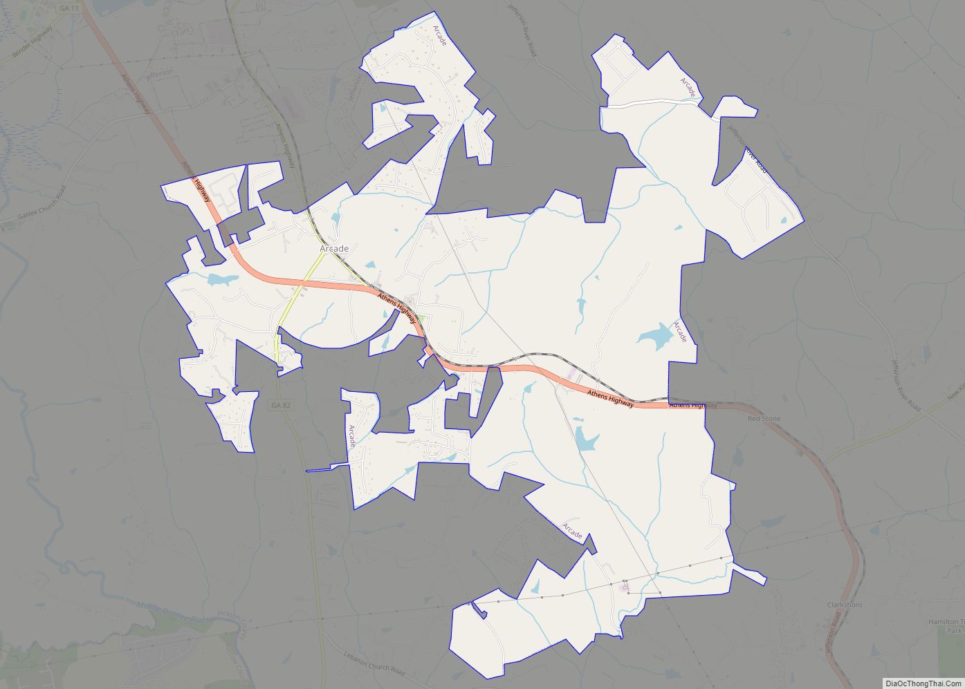
Talmo Road Map
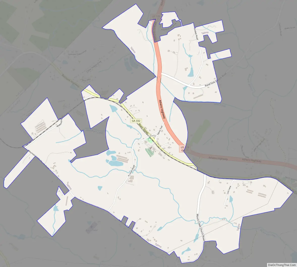
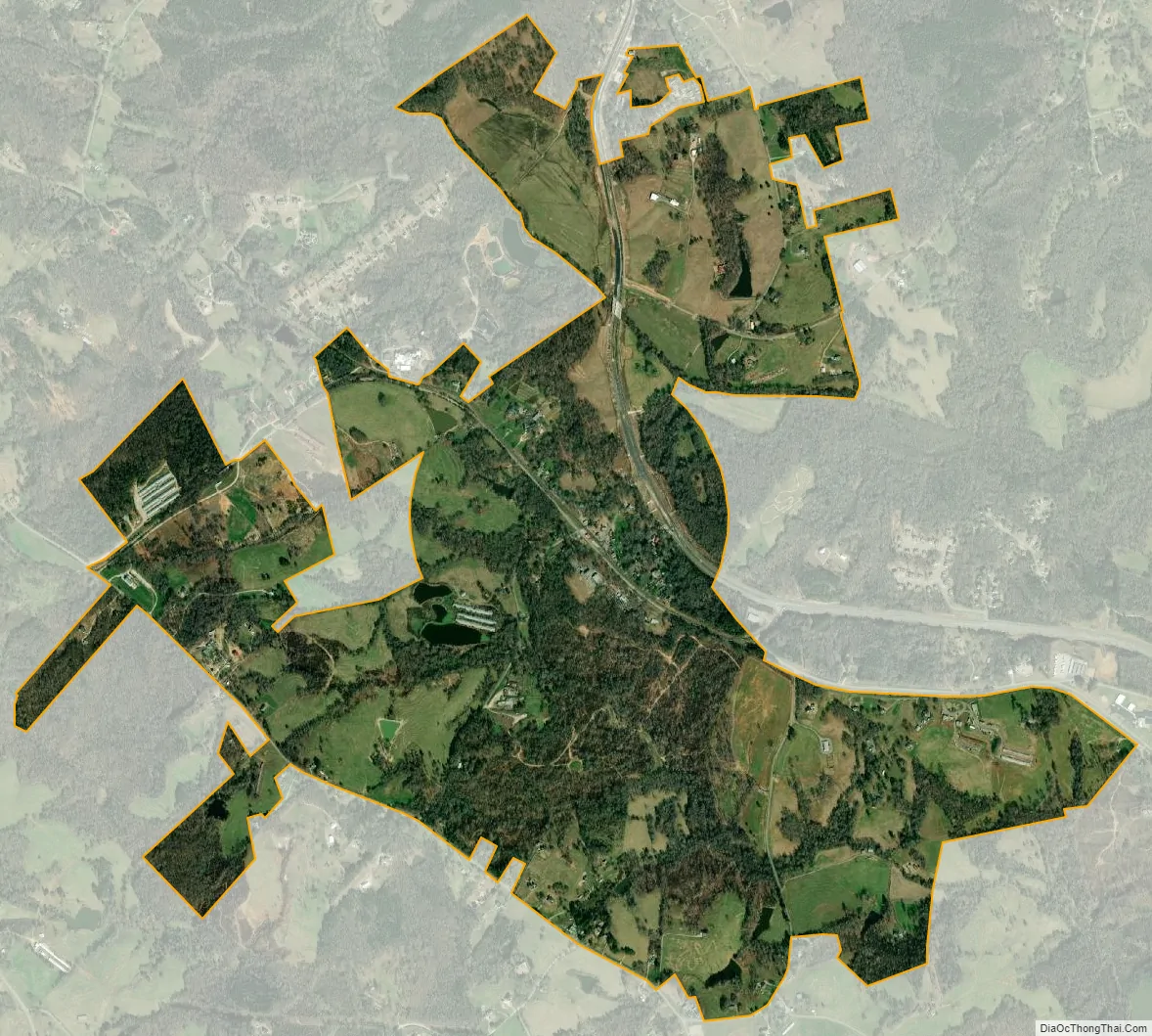
Talmo city Satellite Map
Geography
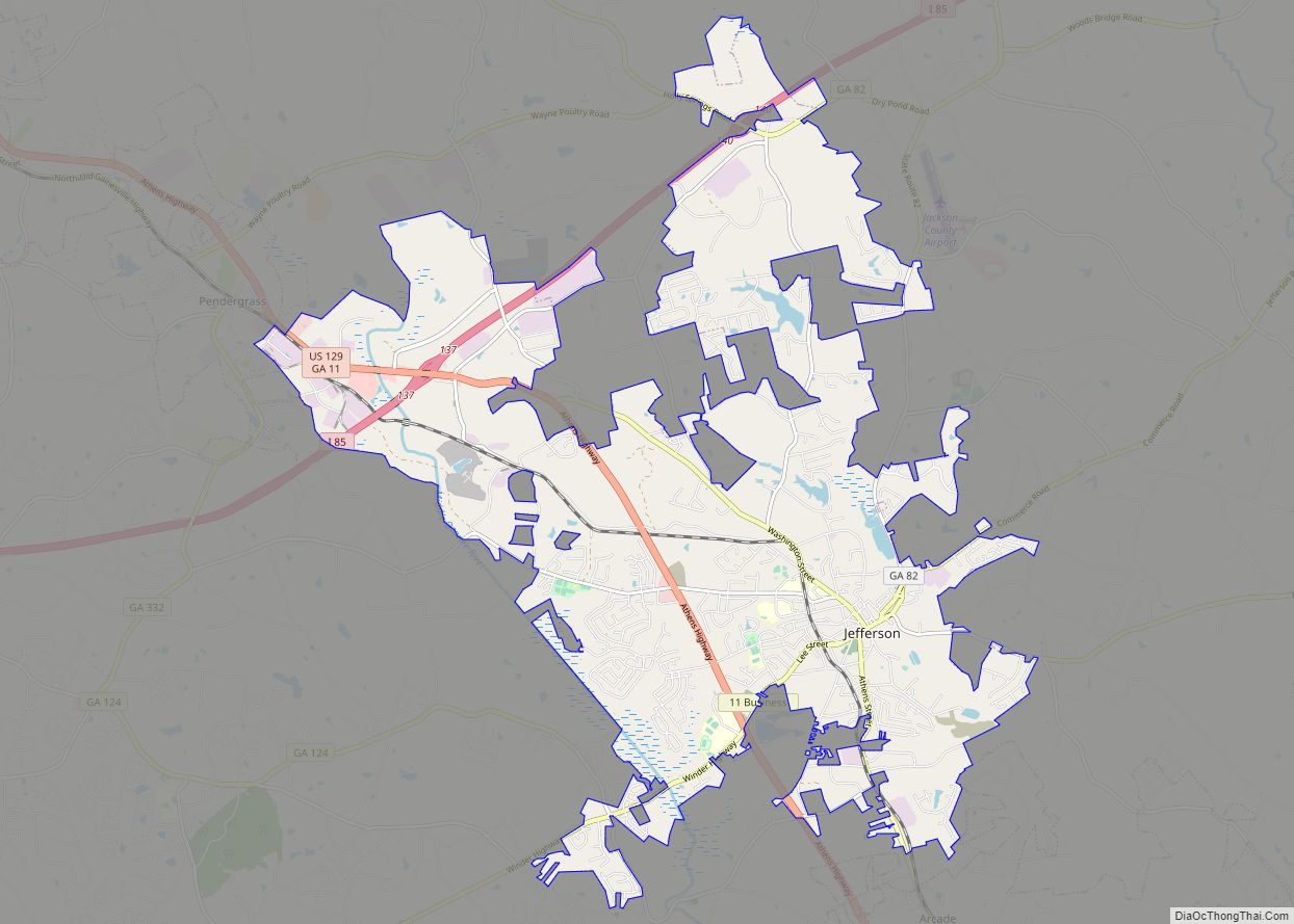
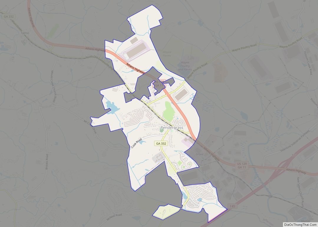
Talmo is located in northwestern Jackson County at 34°11′15″N 83°42′59″W / 34.18750°N 83.71639°W / 34.18750; -83.71639 (34.187587, -83.716387). It is bordered to the southeast by Pendergrass. U.S. Route 129 passes through the town, leading northwest 11 miles (18 km) to Gainesville and southeast 10 miles (16 km) to Jefferson, the Jackson county seat.
According to the United States Census Bureau, the town has a total area of 2.1 square miles (5.5 km), of which 0.02 square miles (0.06 km), or 1.16%, are water. The town is drained by tributaries of the Middle Oconee River.
See also
Map of Georgia State and its subdivision:- Appling
- Atkinson
- Bacon
- Baker
- Baldwin
- Banks
- Barrow
- Bartow
- Ben Hill
- Berrien
- Bibb
- Bleckley
- Brantley
- Brooks
- Bryan
- Bulloch
- Burke
- Butts
- Calhoun
- Camden
- Candler
- Carroll
- Catoosa
- Charlton
- Chatham
- Chattahoochee
- Chattooga
- Cherokee
- Clarke
- Clay
- Clayton
- Clinch
- Cobb
- Coffee
- Colquitt
- Columbia
- Cook
- Coweta
- Crawford
- Crisp
- Dade
- Dawson
- Decatur
- DeKalb
- Dodge
- Dooly
- Dougherty
- Douglas
- Early
- Echols
- Effingham
- Elbert
- Emanuel
- Evans
- Fannin
- Fayette
- Floyd
- Forsyth
- Franklin
- Fulton
- Gilmer
- Glascock
- Glynn
- Gordon
- Grady
- Greene
- Gwinnett
- Habersham
- Hall
- Hancock
- Haralson
- Harris
- Hart
- Heard
- Henry
- Houston
- Irwin
- Jackson
- Jasper
- Jeff Davis
- Jefferson
- Jenkins
- Johnson
- Jones
- Lamar
- Lanier
- Laurens
- Lee
- Liberty
- Lincoln
- Long
- Lowndes
- Lumpkin
- Macon
- Madison
- Marion
- McDuffie
- McIntosh
- Meriwether
- Miller
- Mitchell
- Monroe
- Montgomery
- Morgan
- Murray
- Muscogee
- Newton
- Oconee
- Oglethorpe
- Paulding
- Peach
- Pickens
- Pierce
- Pike
- Polk
- Pulaski
- Putnam
- Quitman
- Rabun
- Randolph
- Richmond
- Rockdale
- Schley
- Screven
- Seminole
- Spalding
- Stephens
- Stewart
- Sumter
- Talbot
- Taliaferro
- Tattnall
- Taylor
- Telfair
- Terrell
- Thomas
- Tift
- Toombs
- Towns
- Treutlen
- Troup
- Turner
- Twiggs
- Union
- Upson
- Walker
- Walton
- Ware
- Warren
- Washington
- Wayne
- Webster
- Wheeler
- White
- Whitfield
- Wilcox
- Wilkes
- Wilkinson
- Worth
- Alabama
- Alaska
- Arizona
- Arkansas
- California
- Colorado
- Connecticut
- Delaware
- District of Columbia
- Florida
- Georgia
- Hawaii
- Idaho
- Illinois
- Indiana
- Iowa
- Kansas
- Kentucky
- Louisiana
- Maine
- Maryland
- Massachusetts
- Michigan
- Minnesota
- Mississippi
- Missouri
- Montana
- Nebraska
- Nevada
- New Hampshire
- New Jersey
- New Mexico
- New York
- North Carolina
- North Dakota
- Ohio
- Oklahoma
- Oregon
- Pennsylvania
- Rhode Island
- South Carolina
- South Dakota
- Tennessee
- Texas
- Utah
- Vermont
- Virginia
- Washington
- West Virginia
- Wisconsin
- Wyoming