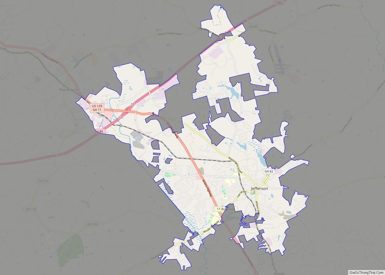
Jefferson is a city in Jackson County, Georgia, United States. The population was 9,432 at the 2010 census, up from 3,825 at the 2000 census. As of 2019 the estimated population was 12,032. The city is the county seat of Jackson County.
| Name: | Jefferson city |
|---|---|
| LSAD Code: | 25 |
| LSAD Description: | city (suffix) |
| State: | Georgia |
| County: | Jackson County |
| Elevation: | 751 ft (229 m) |
| Total Area: | 22.87 sq mi (59.23 km²) |
| Land Area: | 22.53 sq mi (58.36 km²) |
| Water Area: | 0.34 sq mi (0.88 km²) |
| Total Population: | 13,233 |
| Population Density: | 587.32/sq mi (226.77/km²) |
| ZIP code: | 30549 |
| Area code: | 706 |
| FIPS code: | 1341988 |
| GNISfeature ID: | 0356332 |
| Website: | www.cityofjeffersonga.com |
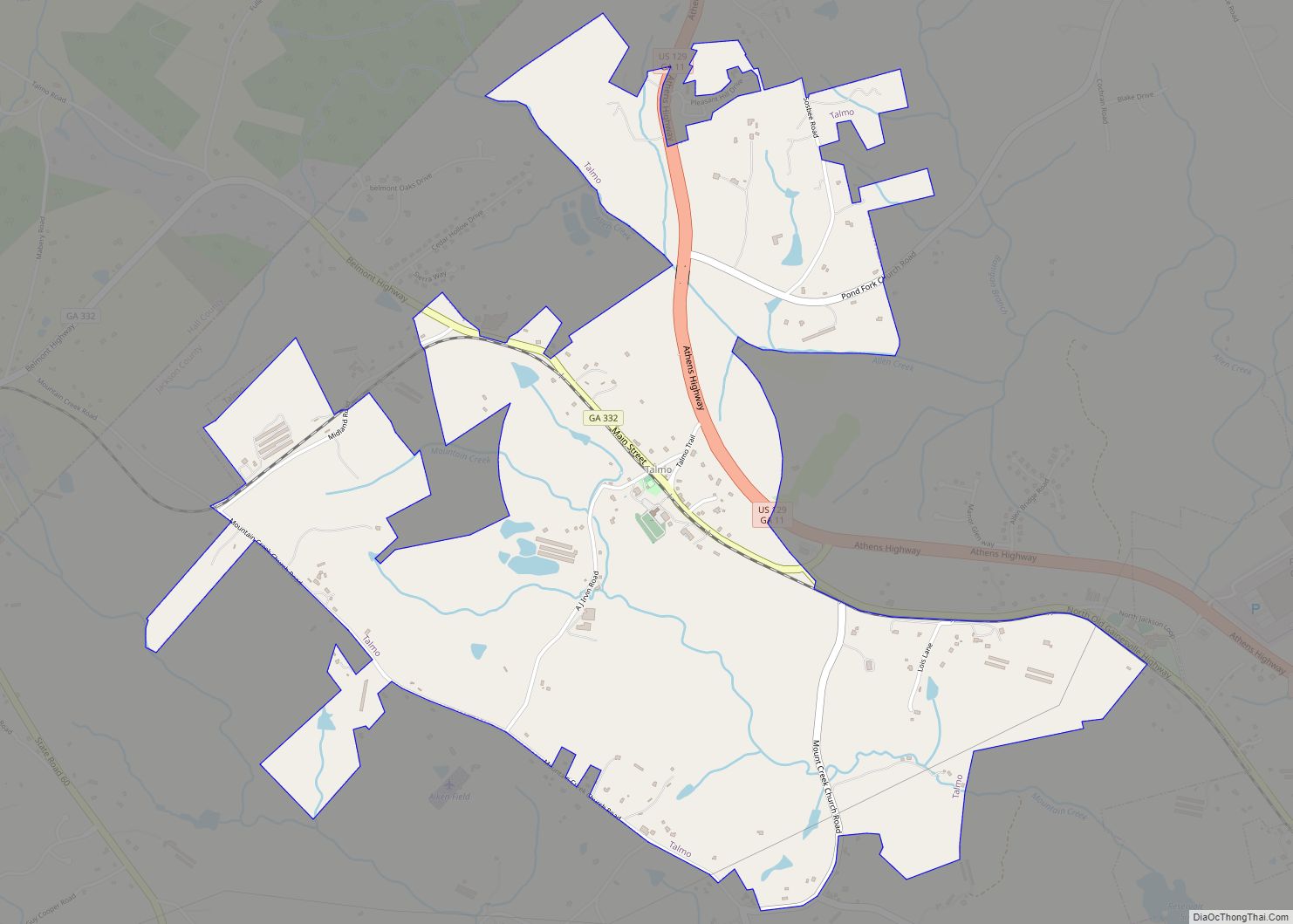
Online Interactive Map
Click on ![]() to view map in "full screen" mode.
to view map in "full screen" mode.
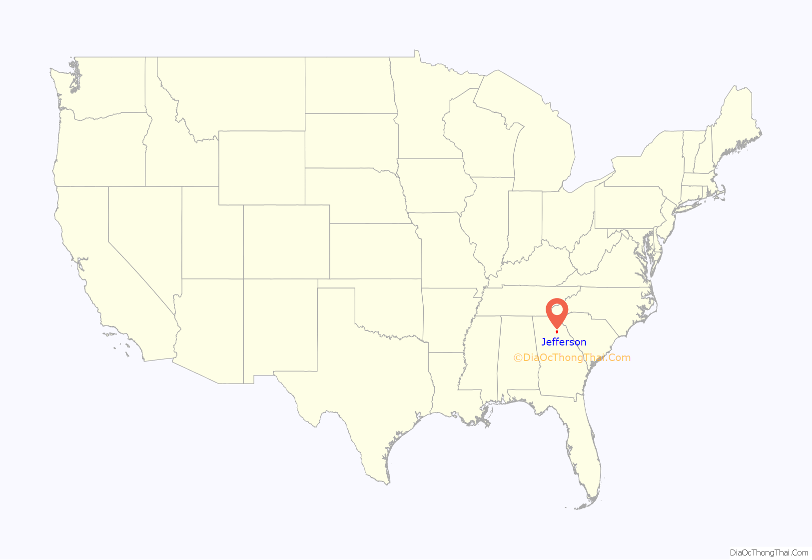
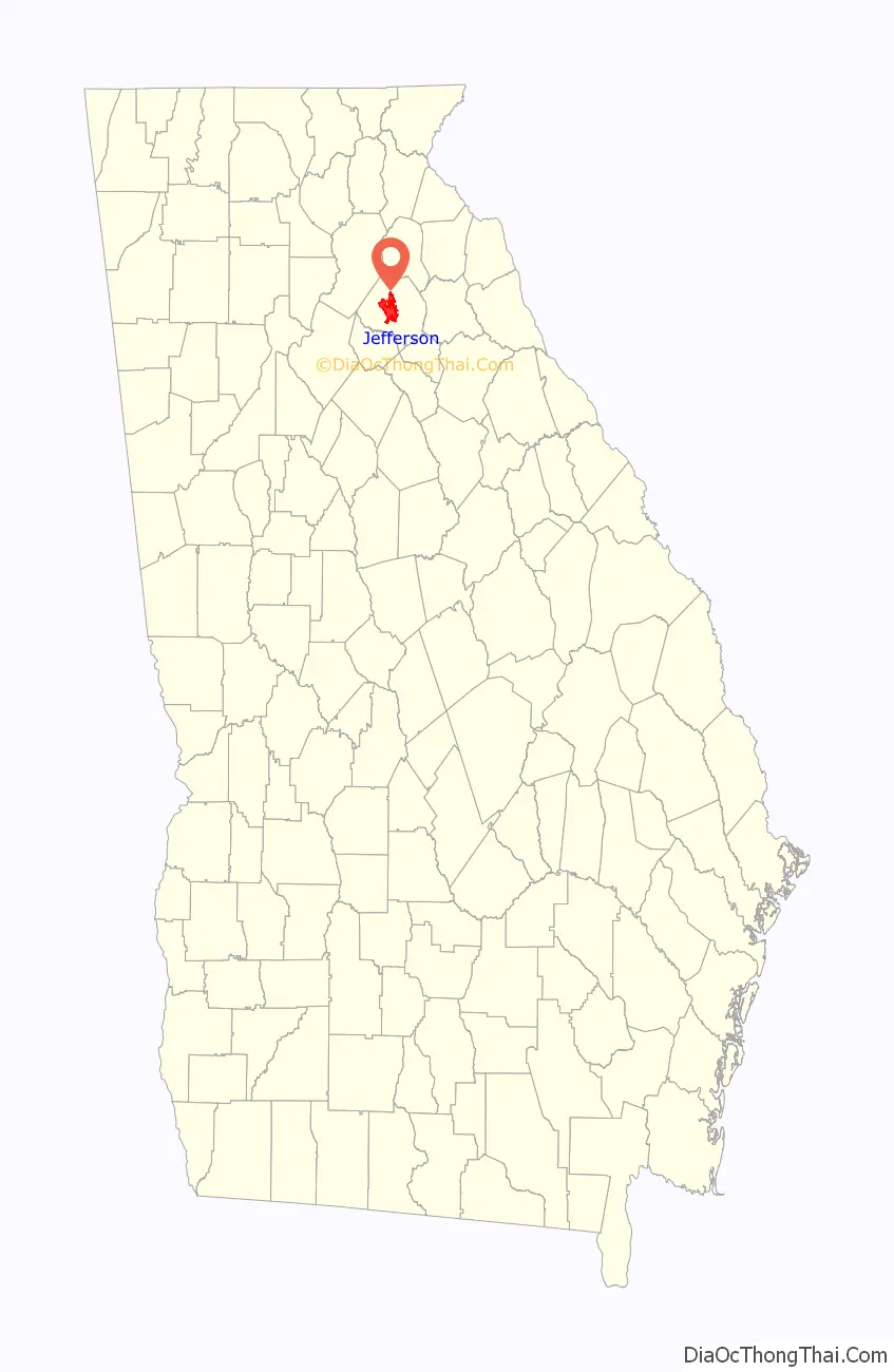
Jefferson location map. Where is Jefferson city?
History
Jefferson was founded in 1800. That same year, the seat of Jackson County was transferred to Jefferson from Clarkesboro. Jefferson was incorporated as a town in 1806 and as a city in 1896. The city was named after Thomas Jefferson.
Jefferson Road Map

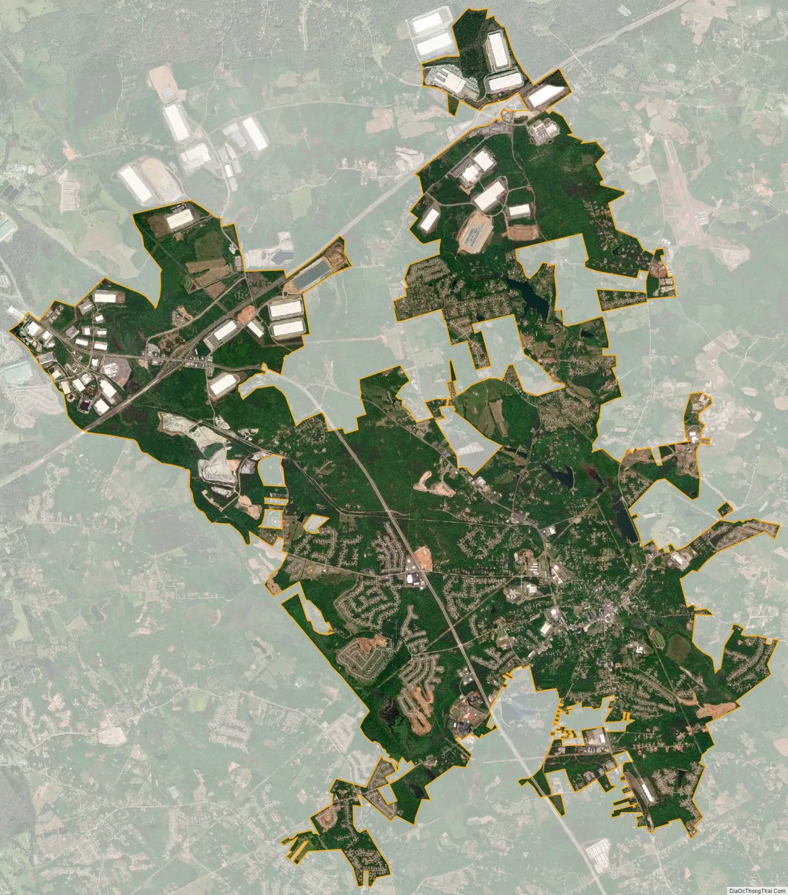
Jefferson city Satellite Map
Geography
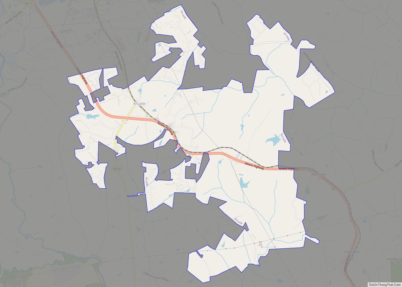
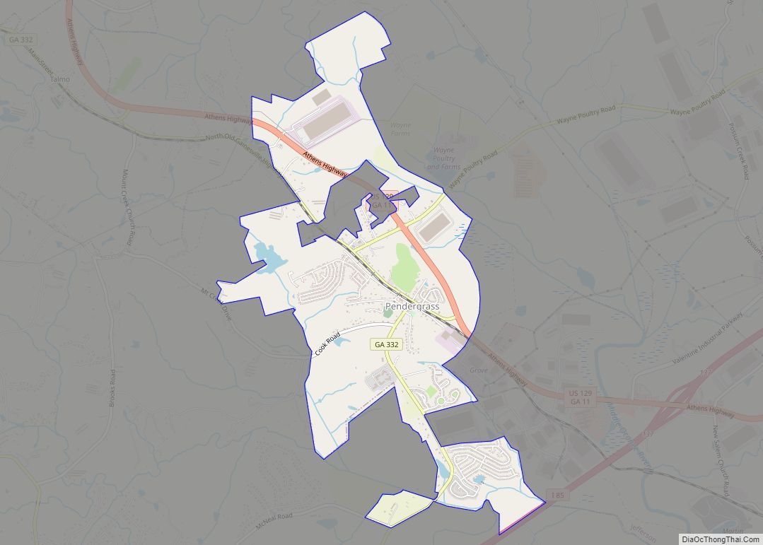
Jefferson is located in central Jackson County at 34°7′36″N 83°35′25″W / 34.12667°N 83.59028°W / 34.12667; -83.59028 (34.126736, -83.590297). It is bordered to the northwest by Pendergrass and to the southeast by Arcade. U.S. Route 129 passes through the southwest side of the city, leading northwest 21 miles (34 km) to Gainesville and southeast 19 miles (31 km) to Athens. Interstate 85 runs through the northern end of Jefferson, 5 miles (8 km) northwest of the center of town, with access from Exits 137 and 140. I-85 leads southwest 55 miles (89 km) to Atlanta and northeast 90 miles (140 km) to Greenville, South Carolina.
According to the United States Census Bureau, Jefferson has a total area of 22.0 square miles (57.0 km), of which 21.7 square miles (56.1 km) are land and 0.3 square miles (0.9 km), or 1.53%, are water. Curry Creek, a tributary of the North Oconee River, flows just to the east of downtown, and the Middle Oconee River runs along the western edge of the city.
See also
Map of Georgia State and its subdivision:- Appling
- Atkinson
- Bacon
- Baker
- Baldwin
- Banks
- Barrow
- Bartow
- Ben Hill
- Berrien
- Bibb
- Bleckley
- Brantley
- Brooks
- Bryan
- Bulloch
- Burke
- Butts
- Calhoun
- Camden
- Candler
- Carroll
- Catoosa
- Charlton
- Chatham
- Chattahoochee
- Chattooga
- Cherokee
- Clarke
- Clay
- Clayton
- Clinch
- Cobb
- Coffee
- Colquitt
- Columbia
- Cook
- Coweta
- Crawford
- Crisp
- Dade
- Dawson
- Decatur
- DeKalb
- Dodge
- Dooly
- Dougherty
- Douglas
- Early
- Echols
- Effingham
- Elbert
- Emanuel
- Evans
- Fannin
- Fayette
- Floyd
- Forsyth
- Franklin
- Fulton
- Gilmer
- Glascock
- Glynn
- Gordon
- Grady
- Greene
- Gwinnett
- Habersham
- Hall
- Hancock
- Haralson
- Harris
- Hart
- Heard
- Henry
- Houston
- Irwin
- Jackson
- Jasper
- Jeff Davis
- Jefferson
- Jenkins
- Johnson
- Jones
- Lamar
- Lanier
- Laurens
- Lee
- Liberty
- Lincoln
- Long
- Lowndes
- Lumpkin
- Macon
- Madison
- Marion
- McDuffie
- McIntosh
- Meriwether
- Miller
- Mitchell
- Monroe
- Montgomery
- Morgan
- Murray
- Muscogee
- Newton
- Oconee
- Oglethorpe
- Paulding
- Peach
- Pickens
- Pierce
- Pike
- Polk
- Pulaski
- Putnam
- Quitman
- Rabun
- Randolph
- Richmond
- Rockdale
- Schley
- Screven
- Seminole
- Spalding
- Stephens
- Stewart
- Sumter
- Talbot
- Taliaferro
- Tattnall
- Taylor
- Telfair
- Terrell
- Thomas
- Tift
- Toombs
- Towns
- Treutlen
- Troup
- Turner
- Twiggs
- Union
- Upson
- Walker
- Walton
- Ware
- Warren
- Washington
- Wayne
- Webster
- Wheeler
- White
- Whitfield
- Wilcox
- Wilkes
- Wilkinson
- Worth
- Alabama
- Alaska
- Arizona
- Arkansas
- California
- Colorado
- Connecticut
- Delaware
- District of Columbia
- Florida
- Georgia
- Hawaii
- Idaho
- Illinois
- Indiana
- Iowa
- Kansas
- Kentucky
- Louisiana
- Maine
- Maryland
- Massachusetts
- Michigan
- Minnesota
- Mississippi
- Missouri
- Montana
- Nebraska
- Nevada
- New Hampshire
- New Jersey
- New Mexico
- New York
- North Carolina
- North Dakota
- Ohio
- Oklahoma
- Oregon
- Pennsylvania
- Rhode Island
- South Carolina
- South Dakota
- Tennessee
- Texas
- Utah
- Vermont
- Virginia
- Washington
- West Virginia
- Wisconsin
- Wyoming