Braswell is a city in Polk and Paulding counties in the U.S. state of Georgia. As of the 2020 census, the city had a population of 355.
| Name: | Braswell town |
|---|---|
| LSAD Code: | 43 |
| LSAD Description: | town (suffix) |
| State: | Georgia |
| County: | Paulding County, Polk County |
| Elevation: | 1,161 ft (354 m) |
| Total Area: | 3.18 sq mi (8.23 km²) |
| Land Area: | 3.16 sq mi (8.20 km²) |
| Water Area: | 0.01 sq mi (0.03 km²) |
| Total Population: | 355 |
| Population Density: | 112.20/sq mi (43.32/km²) |
| Area code: | 770/678/470 |
| FIPS code: | 1310104 |
| GNISfeature ID: | 0331229 |
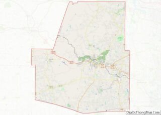
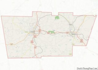
Online Interactive Map
Click on ![]() to view map in "full screen" mode.
to view map in "full screen" mode.
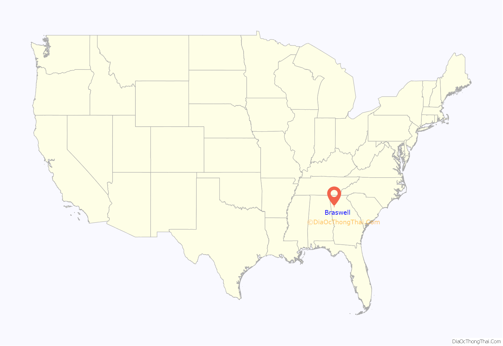
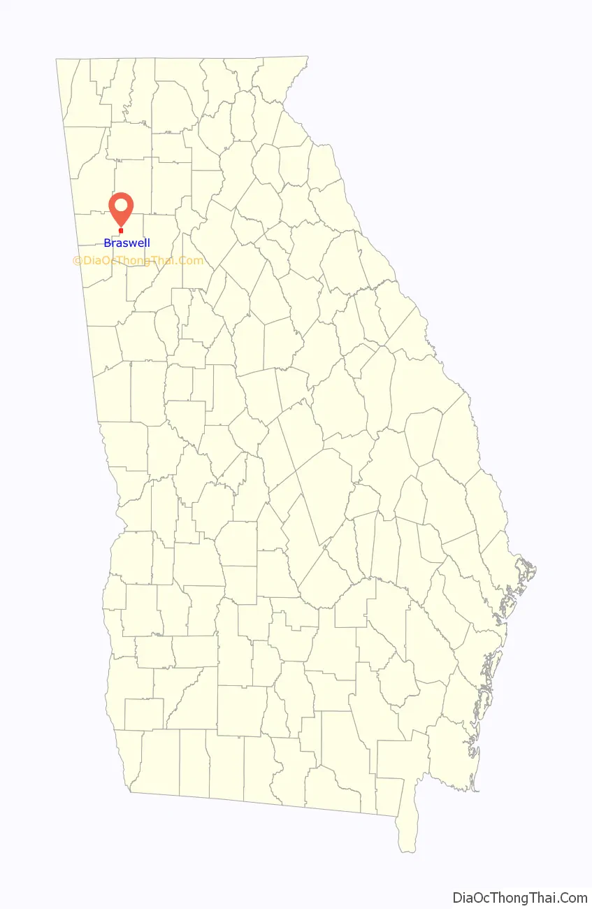
Braswell location map. Where is Braswell town?
History
Braswell had its start in 1882 when Southern Railway predecessor East Tennessee Virginia & Georgia Railroad was extended to that point. The ETV&G became part of Southern Railway when Southern Railway was incorporated in 1894. Braswell was named for Henry S. Braswell (1832-1902), a prominent citizen of Paulding County who owned a large amount of land in the area. Henry Braswell, in partnership with William McCracken, was in the land and timber business supplying crossties and bridge timbers to Southern Railway and Seaboard Air Line Railroad.
Braswell was the location of the only tunnel on Southern Railway’s (now Norfolk Southern Railway) Chattanooga to Atlanta main line. The original tunnel was bypassed in 1979 by cutting through Braswell mountain slightly to the east. Another nearby tunnel, the Brushy Mountain tunnel at Divide on the former route of the Seaboard Air Line Railroad, is currently used by bicyclists and joggers as a part of the Georgia/Alabama Silver Comet Trail. The portion of the trail in Alabama is the Chief Ladiga Trail, and the portion in Georgia is the Silver Comet Trail. The Silver Comet Trail was named for one of the Seaboard Air Line passenger trains, the Silver Comet, that traveled the route.
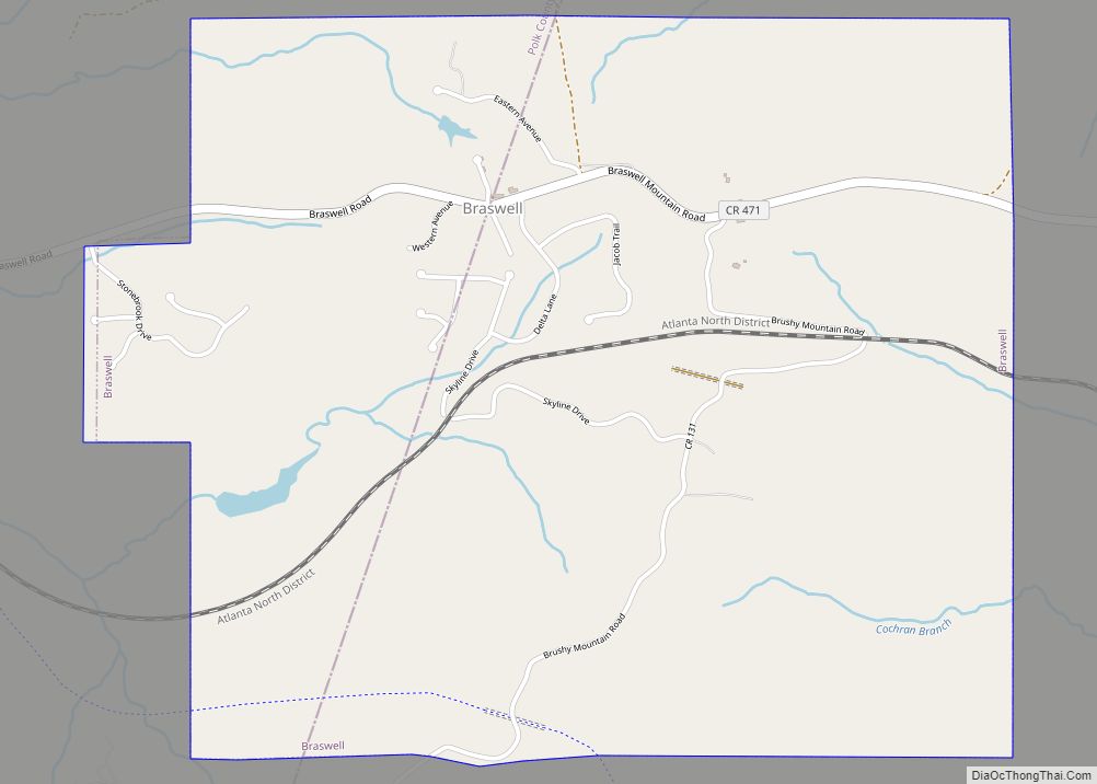
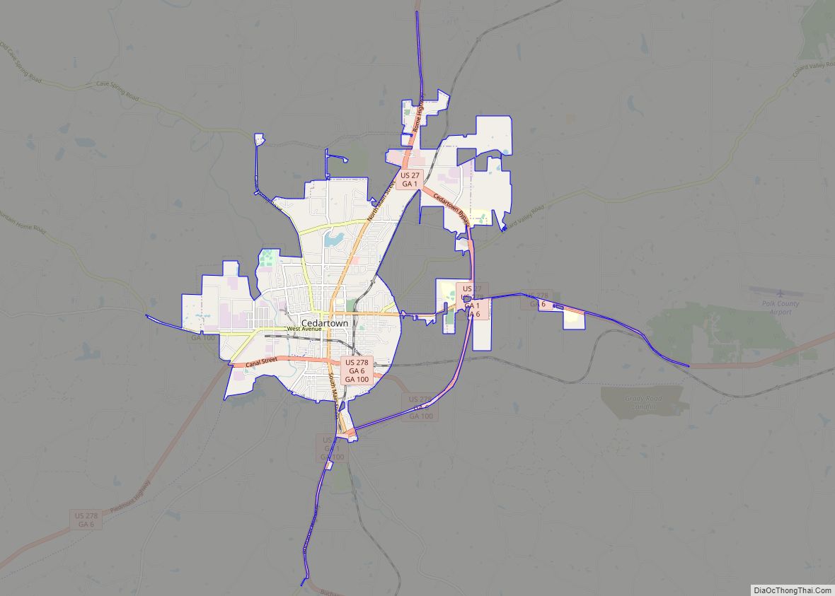
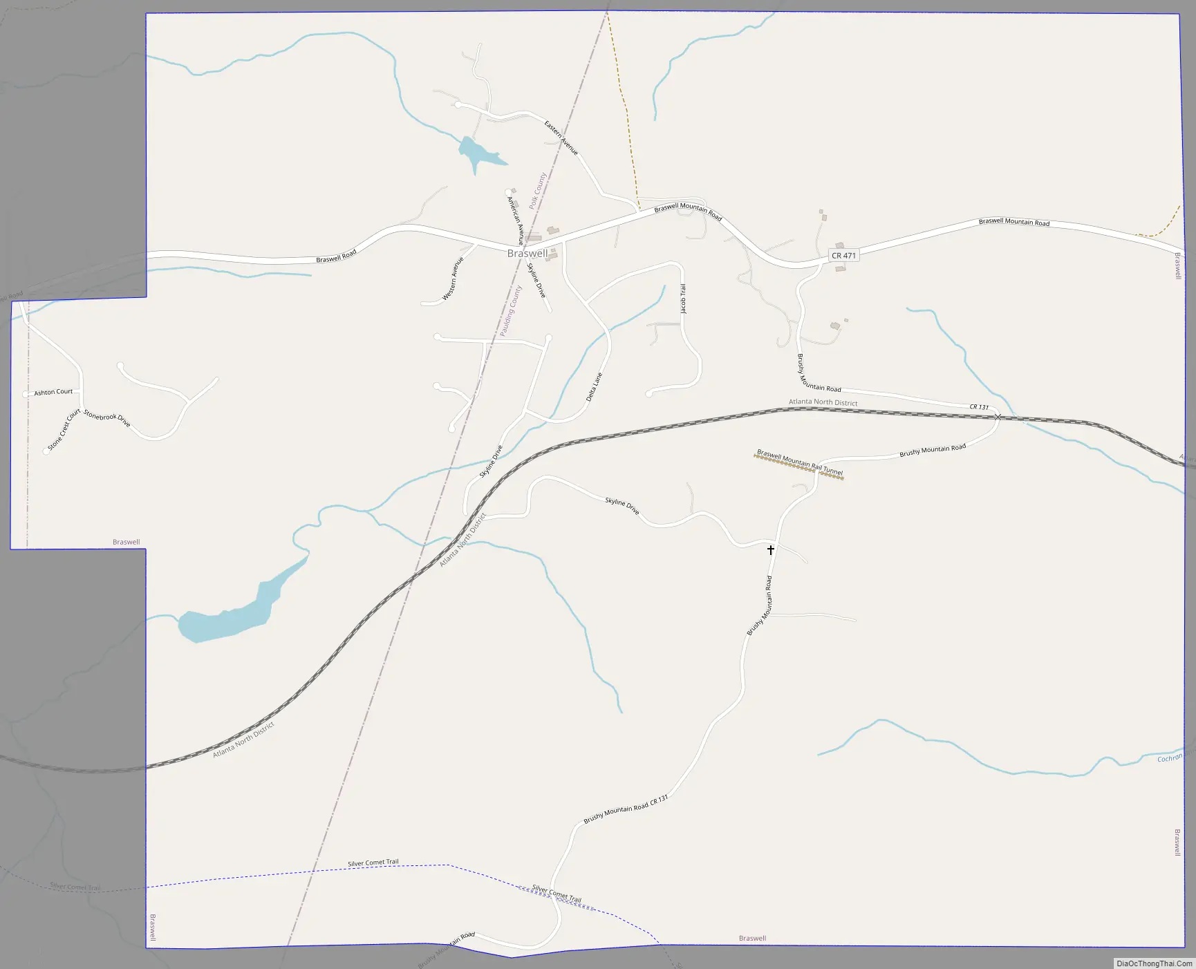
Braswell Road Map
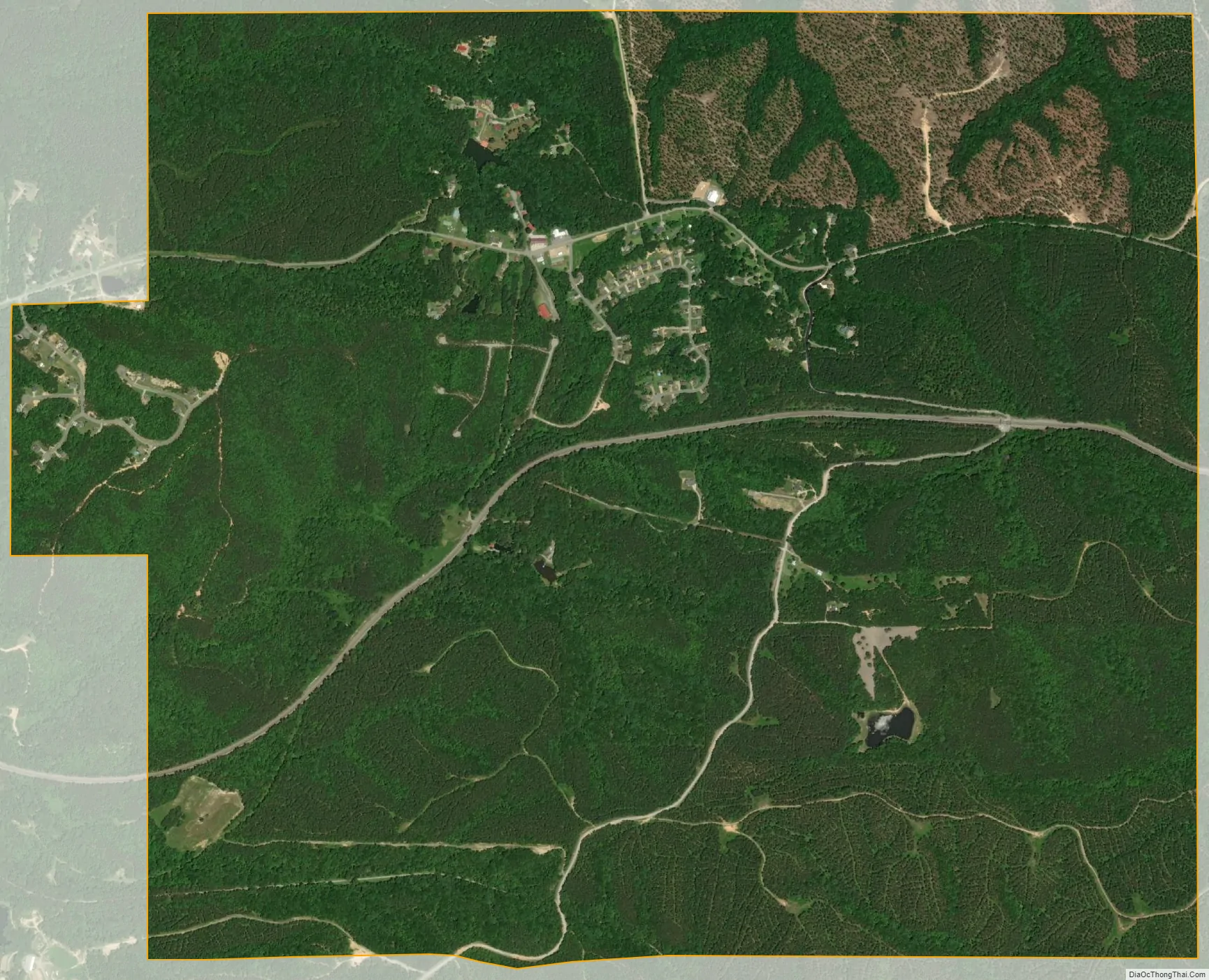
Braswell city Satellite Map
Geography
Braswell is located at 33°59′2″N 84°57′34″W / 33.98389°N 84.95944°W / 33.98389; -84.95944 (33.983787, -84.959479).
According to the United States Census Bureau, the city has a total area of 3.1 square miles (8.0 km), of which 3.1 square miles (8.0 km) is land and 0.33% is water.
See also
Map of Georgia State and its subdivision:- Appling
- Atkinson
- Bacon
- Baker
- Baldwin
- Banks
- Barrow
- Bartow
- Ben Hill
- Berrien
- Bibb
- Bleckley
- Brantley
- Brooks
- Bryan
- Bulloch
- Burke
- Butts
- Calhoun
- Camden
- Candler
- Carroll
- Catoosa
- Charlton
- Chatham
- Chattahoochee
- Chattooga
- Cherokee
- Clarke
- Clay
- Clayton
- Clinch
- Cobb
- Coffee
- Colquitt
- Columbia
- Cook
- Coweta
- Crawford
- Crisp
- Dade
- Dawson
- Decatur
- DeKalb
- Dodge
- Dooly
- Dougherty
- Douglas
- Early
- Echols
- Effingham
- Elbert
- Emanuel
- Evans
- Fannin
- Fayette
- Floyd
- Forsyth
- Franklin
- Fulton
- Gilmer
- Glascock
- Glynn
- Gordon
- Grady
- Greene
- Gwinnett
- Habersham
- Hall
- Hancock
- Haralson
- Harris
- Hart
- Heard
- Henry
- Houston
- Irwin
- Jackson
- Jasper
- Jeff Davis
- Jefferson
- Jenkins
- Johnson
- Jones
- Lamar
- Lanier
- Laurens
- Lee
- Liberty
- Lincoln
- Long
- Lowndes
- Lumpkin
- Macon
- Madison
- Marion
- McDuffie
- McIntosh
- Meriwether
- Miller
- Mitchell
- Monroe
- Montgomery
- Morgan
- Murray
- Muscogee
- Newton
- Oconee
- Oglethorpe
- Paulding
- Peach
- Pickens
- Pierce
- Pike
- Polk
- Pulaski
- Putnam
- Quitman
- Rabun
- Randolph
- Richmond
- Rockdale
- Schley
- Screven
- Seminole
- Spalding
- Stephens
- Stewart
- Sumter
- Talbot
- Taliaferro
- Tattnall
- Taylor
- Telfair
- Terrell
- Thomas
- Tift
- Toombs
- Towns
- Treutlen
- Troup
- Turner
- Twiggs
- Union
- Upson
- Walker
- Walton
- Ware
- Warren
- Washington
- Wayne
- Webster
- Wheeler
- White
- Whitfield
- Wilcox
- Wilkes
- Wilkinson
- Worth
- Alabama
- Alaska
- Arizona
- Arkansas
- California
- Colorado
- Connecticut
- Delaware
- District of Columbia
- Florida
- Georgia
- Hawaii
- Idaho
- Illinois
- Indiana
- Iowa
- Kansas
- Kentucky
- Louisiana
- Maine
- Maryland
- Massachusetts
- Michigan
- Minnesota
- Mississippi
- Missouri
- Montana
- Nebraska
- Nevada
- New Hampshire
- New Jersey
- New Mexico
- New York
- North Carolina
- North Dakota
- Ohio
- Oklahoma
- Oregon
- Pennsylvania
- Rhode Island
- South Carolina
- South Dakota
- Tennessee
- Texas
- Utah
- Vermont
- Virginia
- Washington
- West Virginia
- Wisconsin
- Wyoming