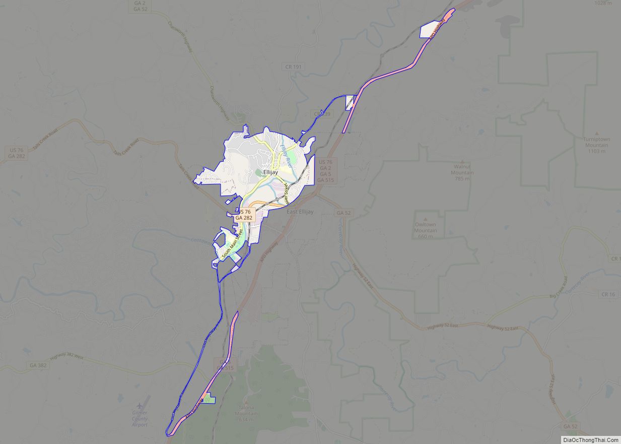
East Ellijay is a city in Gilmer County, Georgia, United States. The population was 546 at the 2010 census, down from 707 in 2000.
East Ellijay was originally the location of Fort Hetzel, one of the Cherokee removal forts built in 1838 to house the Cherokee people before sending them on the “Trail of Tears”.
| Name: | East Ellijay city |
|---|---|
| LSAD Code: | 25 |
| LSAD Description: | city (suffix) |
| State: | Georgia |
| County: | Gilmer County |
| Elevation: | 1,273 ft (388 m) |
| Total Area: | 3.41 sq mi (8.82 km²) |
| Land Area: | 3.40 sq mi (8.81 km²) |
| Water Area: | 0.00 sq mi (0.01 km²) |
| Total Population: | 650 |
| Population Density: | 191.06/sq mi (73.77/km²) |
| ZIP code: | 30539-30540 |
| Area code: | 706/762 |
| FIPS code: | 1325356 |
| GNISfeature ID: | 0331619 |
Online Interactive Map
Click on ![]() to view map in "full screen" mode.
to view map in "full screen" mode.
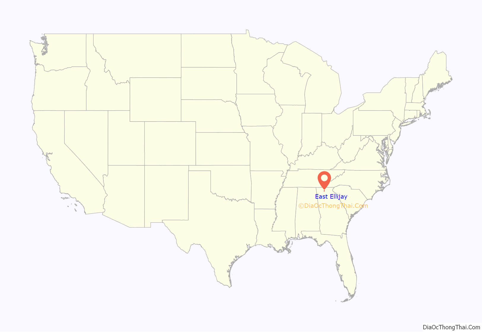
East Ellijay location map. Where is East Ellijay city?
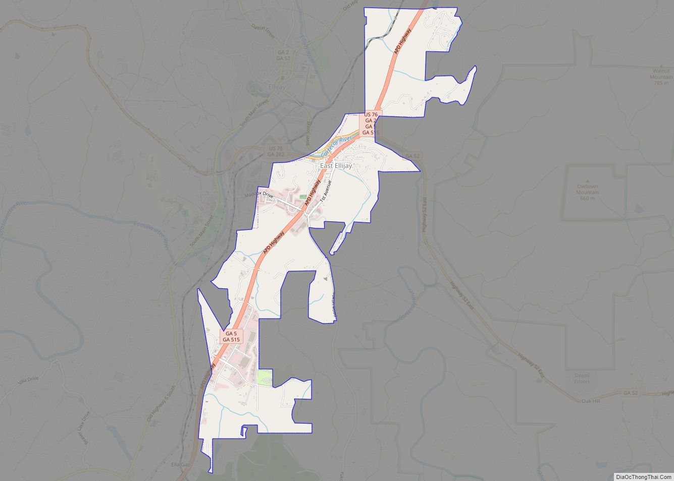
East Ellijay Road Map
East Ellijay city Satellite Map
Geography
East Ellijay is bordered to the north and west by the city of Ellijay.
According to the United States Census Bureau, the city has a total area of 3.4 square miles (8.8 km), all land. Georgia State Route 5/515, a four-lane bypass of Ellijay, runs the length of East Ellijay from north to south. U.S. Route 76 follows Routes 5/515 in the northern half of East Ellijay. The city of Blue Ridge is 15 miles (24 km) to the northeast, Jasper is 19 miles (31 km) to the south, and Chatsworth is 25 miles (40 km) to the west. Georgia State Route 52 runs southeast from East Ellijay 38 miles (61 km) to Dahlonega.
The town lies on the southern border of the Chattahoochee National Forest. The Cartecay River, a tributary of the Coosawattee River, flows from east to west through East Ellijay.
See also
Map of Georgia State and its subdivision:- Appling
- Atkinson
- Bacon
- Baker
- Baldwin
- Banks
- Barrow
- Bartow
- Ben Hill
- Berrien
- Bibb
- Bleckley
- Brantley
- Brooks
- Bryan
- Bulloch
- Burke
- Butts
- Calhoun
- Camden
- Candler
- Carroll
- Catoosa
- Charlton
- Chatham
- Chattahoochee
- Chattooga
- Cherokee
- Clarke
- Clay
- Clayton
- Clinch
- Cobb
- Coffee
- Colquitt
- Columbia
- Cook
- Coweta
- Crawford
- Crisp
- Dade
- Dawson
- Decatur
- DeKalb
- Dodge
- Dooly
- Dougherty
- Douglas
- Early
- Echols
- Effingham
- Elbert
- Emanuel
- Evans
- Fannin
- Fayette
- Floyd
- Forsyth
- Franklin
- Fulton
- Gilmer
- Glascock
- Glynn
- Gordon
- Grady
- Greene
- Gwinnett
- Habersham
- Hall
- Hancock
- Haralson
- Harris
- Hart
- Heard
- Henry
- Houston
- Irwin
- Jackson
- Jasper
- Jeff Davis
- Jefferson
- Jenkins
- Johnson
- Jones
- Lamar
- Lanier
- Laurens
- Lee
- Liberty
- Lincoln
- Long
- Lowndes
- Lumpkin
- Macon
- Madison
- Marion
- McDuffie
- McIntosh
- Meriwether
- Miller
- Mitchell
- Monroe
- Montgomery
- Morgan
- Murray
- Muscogee
- Newton
- Oconee
- Oglethorpe
- Paulding
- Peach
- Pickens
- Pierce
- Pike
- Polk
- Pulaski
- Putnam
- Quitman
- Rabun
- Randolph
- Richmond
- Rockdale
- Schley
- Screven
- Seminole
- Spalding
- Stephens
- Stewart
- Sumter
- Talbot
- Taliaferro
- Tattnall
- Taylor
- Telfair
- Terrell
- Thomas
- Tift
- Toombs
- Towns
- Treutlen
- Troup
- Turner
- Twiggs
- Union
- Upson
- Walker
- Walton
- Ware
- Warren
- Washington
- Wayne
- Webster
- Wheeler
- White
- Whitfield
- Wilcox
- Wilkes
- Wilkinson
- Worth
- Alabama
- Alaska
- Arizona
- Arkansas
- California
- Colorado
- Connecticut
- Delaware
- District of Columbia
- Florida
- Georgia
- Hawaii
- Idaho
- Illinois
- Indiana
- Iowa
- Kansas
- Kentucky
- Louisiana
- Maine
- Maryland
- Massachusetts
- Michigan
- Minnesota
- Mississippi
- Missouri
- Montana
- Nebraska
- Nevada
- New Hampshire
- New Jersey
- New Mexico
- New York
- North Carolina
- North Dakota
- Ohio
- Oklahoma
- Oregon
- Pennsylvania
- Rhode Island
- South Carolina
- South Dakota
- Tennessee
- Texas
- Utah
- Vermont
- Virginia
- Washington
- West Virginia
- Wisconsin
- Wyoming
