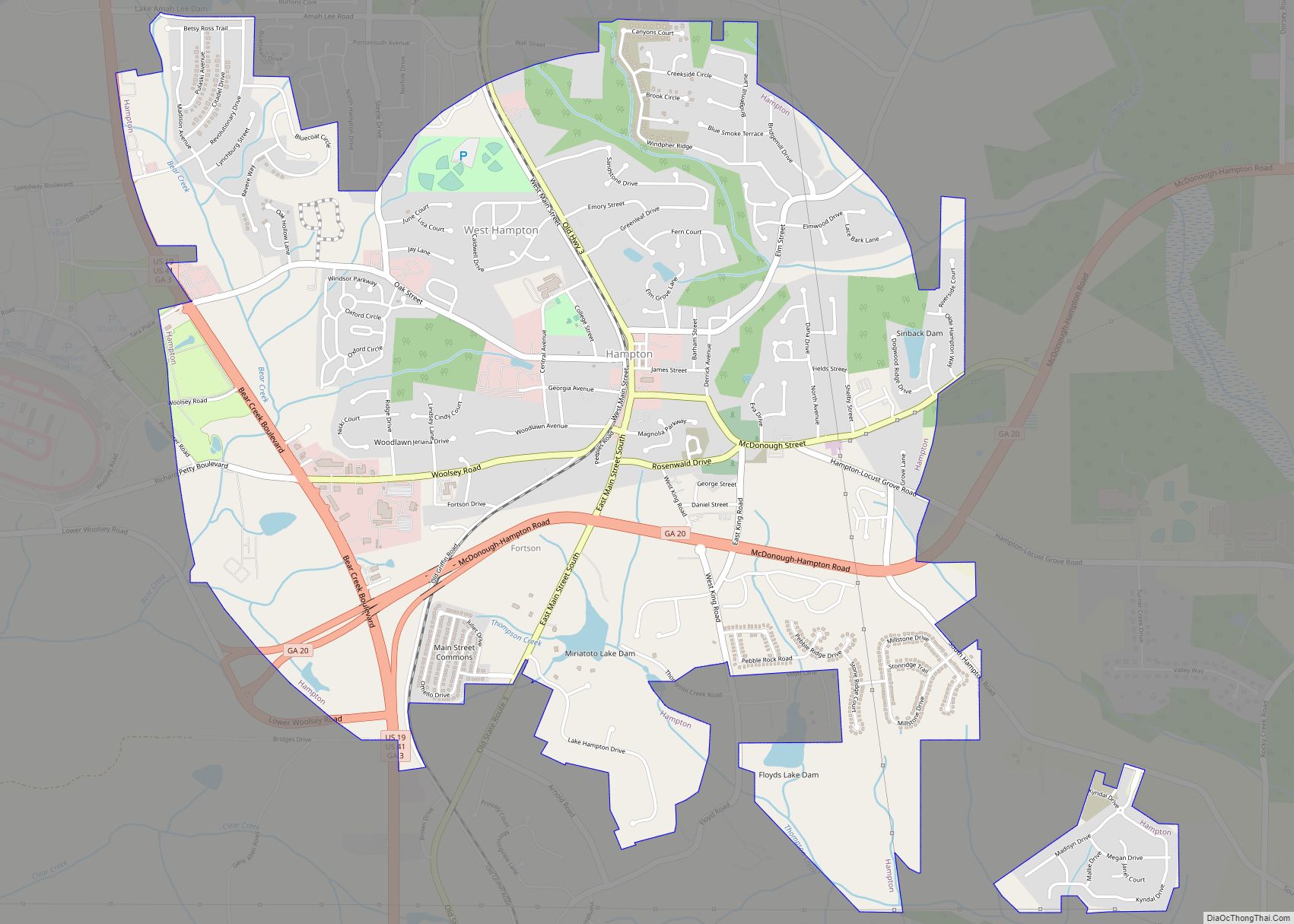
Hampton is a city in southwestern Henry County, Georgia, United States. As of the 2010 census, the city had a population of 6,987, up from 3,857 at the 2000 census. By 2018 the estimated population was 7,922. “Hampton” mailing addresses outside the city limits reach into rural parts of eastern Clayton County and northern Spalding County. It is a southeastern suburb in the Atlanta metropolitan area.
| Name: | Hampton city |
|---|---|
| LSAD Code: | 25 |
| LSAD Description: | city (suffix) |
| State: | Georgia |
| County: | Henry County |
| Elevation: | 883 ft (269 m) |
| Total Area: | 8.50 sq mi (22.02 km²) |
| Land Area: | 8.45 sq mi (21.87 km²) |
| Water Area: | 0.06 sq mi (0.15 km²) |
| Total Population: | 8,368 |
| Population Density: | 990.88/sq mi (382.58/km²) |
| ZIP code: | 30228 |
| Area code: | 770/678/470 |
| FIPS code: | 1336276 |
| GNISfeature ID: | 0315076 |
| Website: | hamptonga.gov |
Online Interactive Map
Click on ![]() to view map in "full screen" mode.
to view map in "full screen" mode.
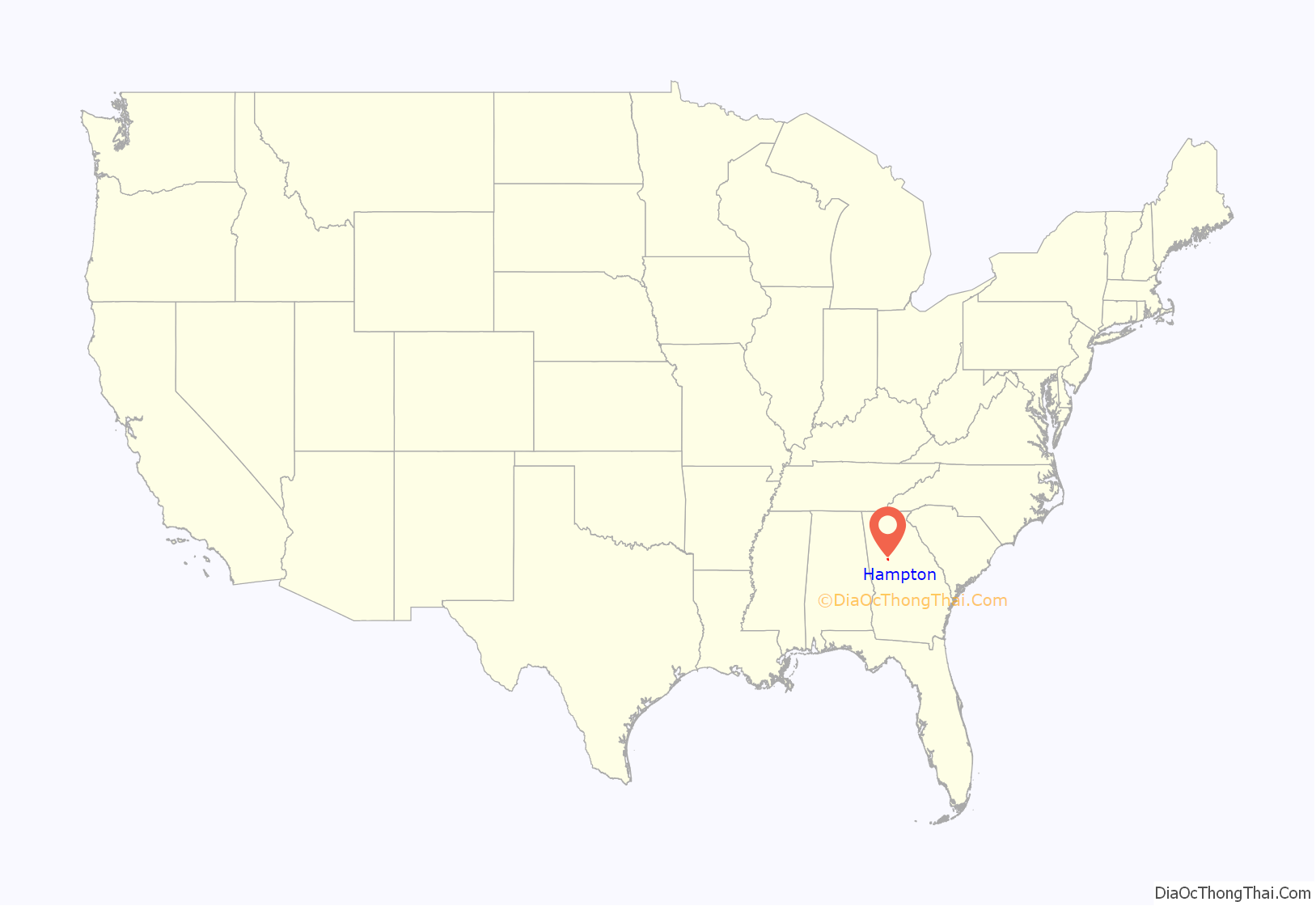
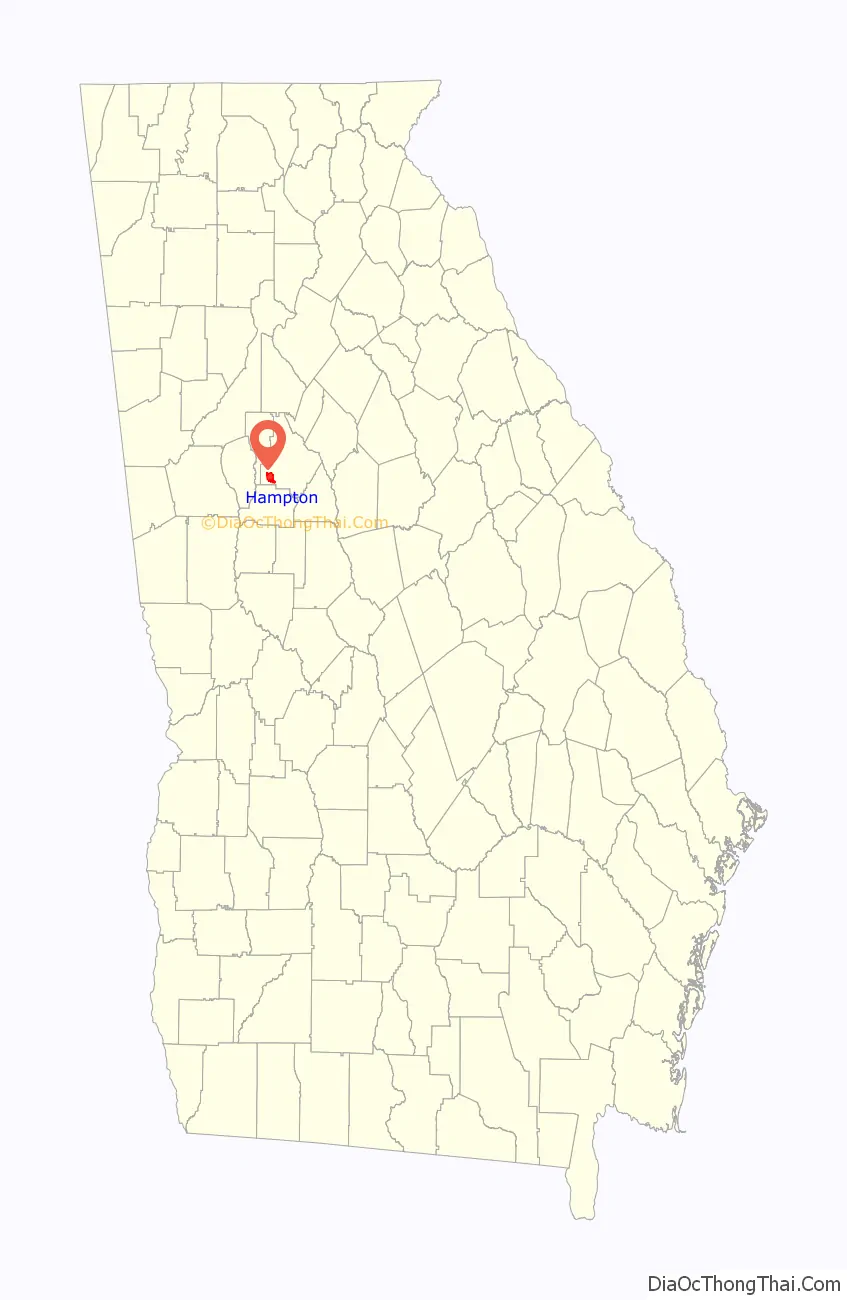
Hampton location map. Where is Hampton city?
History
The city was once known as “Bear Creek” or “Bear Creek Station”, named after a creek that runs through the area. The town was moved, established and renamed in 1873 when the Central Railroad of Georgia was built approx. one mile to the east. It was named after Brig. General Wade Hampton, an American soldier in the Revolutionary War and War of 1812.
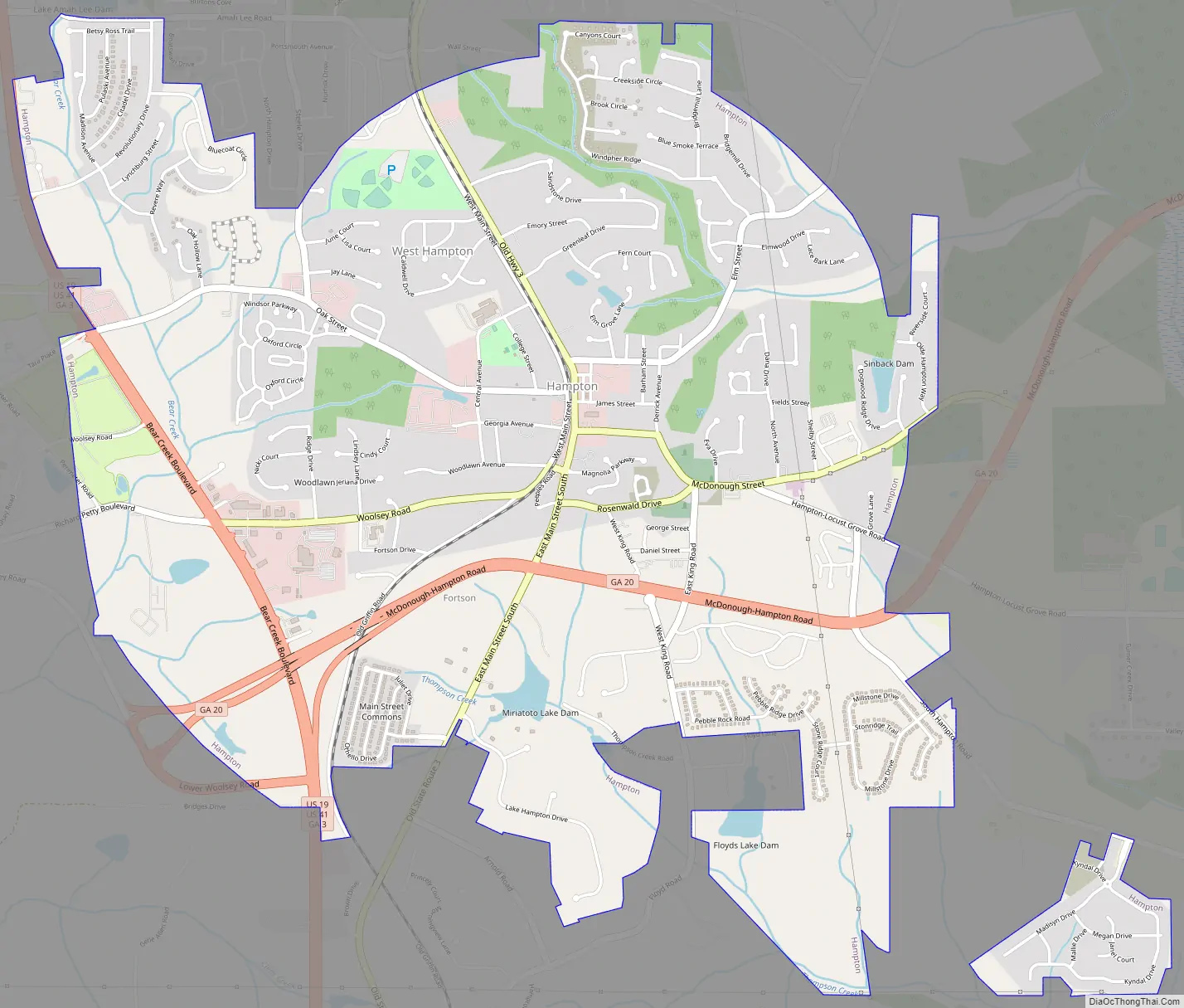
Hampton Road Map
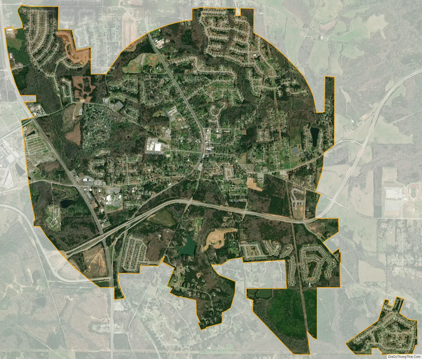
Hampton city Satellite Map
Geography
Hampton is located in southwestern Henry County at 33°22′53″N 84°17′22″W / 33.38139°N 84.28944°W / 33.38139; -84.28944 (33.381522, -84.289573).
U.S. Route 19/41, a four-lane highway, runs through the western side of the city, leading north 28 miles (45 km) to downtown Atlanta and south 11 miles (18 km) to Griffin. Georgia State Route 20 runs east from US 19/41 through the southern part of Hampton, leading 7 miles (11 km) to Interstate 75 and 10 miles (16 km) to McDonough.
According to the United States Census Bureau, Hampton has a total area of 5.7 square miles (14.7 km), of which 5.6 square miles (14.5 km) are land and 0.04 square miles (0.1 km), or 0.86%, are water.
Major highways
- U.S. Route 19
- U.S. Route 41
- State Route 3
- State Route 20
- State Route 81
See also
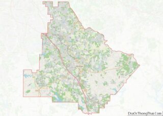
Map of Georgia State and its subdivision:- Appling
- Atkinson
- Bacon
- Baker
- Baldwin
- Banks
- Barrow
- Bartow
- Ben Hill
- Berrien
- Bibb
- Bleckley
- Brantley
- Brooks
- Bryan
- Bulloch
- Burke
- Butts
- Calhoun
- Camden
- Candler
- Carroll
- Catoosa
- Charlton
- Chatham
- Chattahoochee
- Chattooga
- Cherokee
- Clarke
- Clay
- Clayton
- Clinch
- Cobb
- Coffee
- Colquitt
- Columbia
- Cook
- Coweta
- Crawford
- Crisp
- Dade
- Dawson
- Decatur
- DeKalb
- Dodge
- Dooly
- Dougherty
- Douglas
- Early
- Echols
- Effingham
- Elbert
- Emanuel
- Evans
- Fannin
- Fayette
- Floyd
- Forsyth
- Franklin
- Fulton
- Gilmer
- Glascock
- Glynn
- Gordon
- Grady
- Greene
- Gwinnett
- Habersham
- Hall
- Hancock
- Haralson
- Harris
- Hart
- Heard
- Henry
- Houston
- Irwin
- Jackson
- Jasper
- Jeff Davis
- Jefferson
- Jenkins
- Johnson
- Jones
- Lamar
- Lanier
- Laurens
- Lee
- Liberty
- Lincoln
- Long
- Lowndes
- Lumpkin
- Macon
- Madison
- Marion
- McDuffie
- McIntosh
- Meriwether
- Miller
- Mitchell
- Monroe
- Montgomery
- Morgan
- Murray
- Muscogee
- Newton
- Oconee
- Oglethorpe
- Paulding
- Peach
- Pickens
- Pierce
- Pike
- Polk
- Pulaski
- Putnam
- Quitman
- Rabun
- Randolph
- Richmond
- Rockdale
- Schley
- Screven
- Seminole
- Spalding
- Stephens
- Stewart
- Sumter
- Talbot
- Taliaferro
- Tattnall
- Taylor
- Telfair
- Terrell
- Thomas
- Tift
- Toombs
- Towns
- Treutlen
- Troup
- Turner
- Twiggs
- Union
- Upson
- Walker
- Walton
- Ware
- Warren
- Washington
- Wayne
- Webster
- Wheeler
- White
- Whitfield
- Wilcox
- Wilkes
- Wilkinson
- Worth
- Alabama
- Alaska
- Arizona
- Arkansas
- California
- Colorado
- Connecticut
- Delaware
- District of Columbia
- Florida
- Georgia
- Hawaii
- Idaho
- Illinois
- Indiana
- Iowa
- Kansas
- Kentucky
- Louisiana
- Maine
- Maryland
- Massachusetts
- Michigan
- Minnesota
- Mississippi
- Missouri
- Montana
- Nebraska
- Nevada
- New Hampshire
- New Jersey
- New Mexico
- New York
- North Carolina
- North Dakota
- Ohio
- Oklahoma
- Oregon
- Pennsylvania
- Rhode Island
- South Carolina
- South Dakota
- Tennessee
- Texas
- Utah
- Vermont
- Virginia
- Washington
- West Virginia
- Wisconsin
- Wyoming