Hoschton /ˈhʊʃtən/ is a city in Jackson County, Georgia, United States. The population was 1,377 at the 2010 census. As of 2018 the estimated population was 1,916.
| Name: | Hoschton city |
|---|---|
| LSAD Code: | 25 |
| LSAD Description: | city (suffix) |
| State: | Georgia |
| County: | Jackson County |
| Elevation: | 902 ft (275 m) |
| Total Area: | 4.88 sq mi (12.64 km²) |
| Land Area: | 4.83 sq mi (12.51 km²) |
| Water Area: | 0.05 sq mi (0.12 km²) |
| Total Population: | 2,666 |
| Population Density: | 551.85/sq mi (213.08/km²) |
| ZIP code: | 30548 |
| Area code: | 706 |
| FIPS code: | 1340056 |
| GNISfeature ID: | 0356322 |
| Website: | www.cityofhoschton.com |
Online Interactive Map
Click on ![]() to view map in "full screen" mode.
to view map in "full screen" mode.
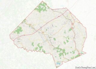
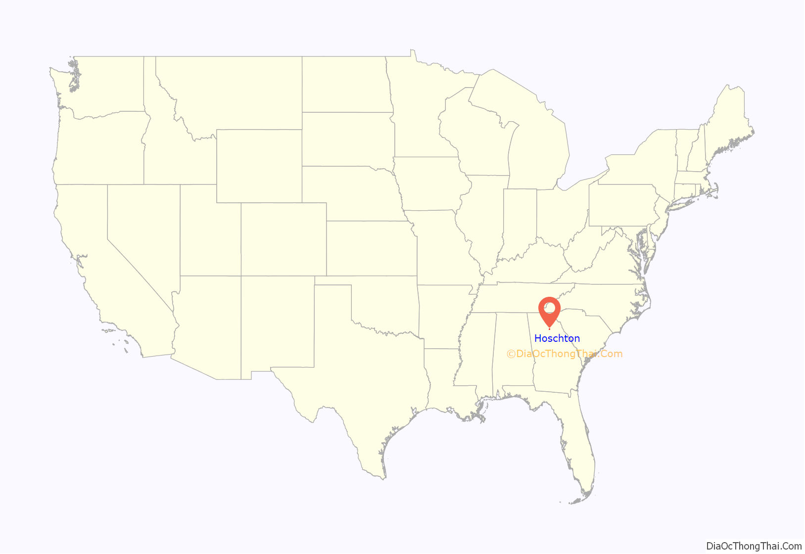
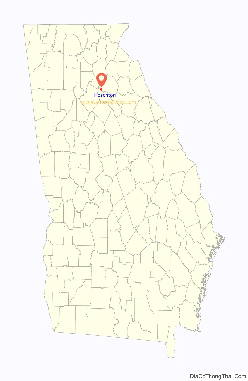
Hoschton location map. Where is Hoschton city?
History
The Georgia General Assembly incorporated the city in 1891 as the Town of Hoschton. The community was named after Russell A. Hosch, a local merchant.
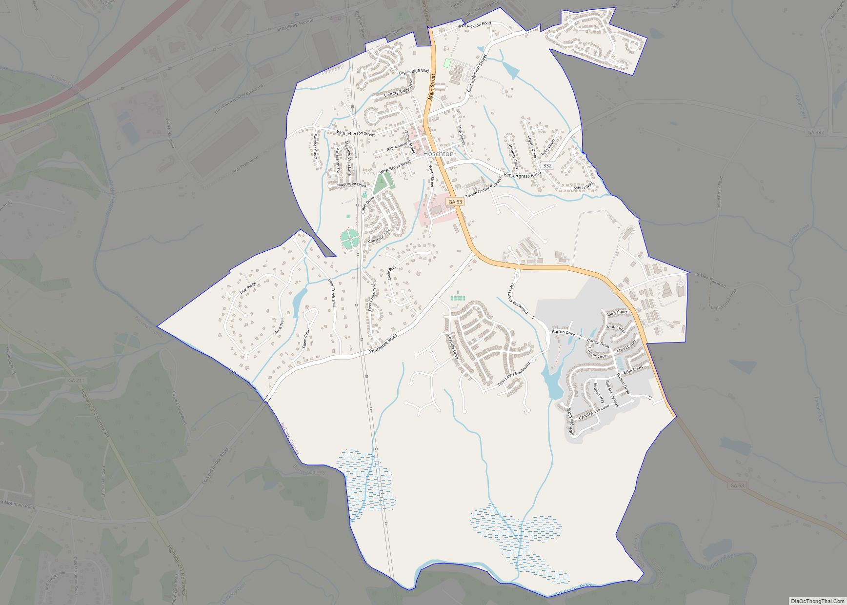
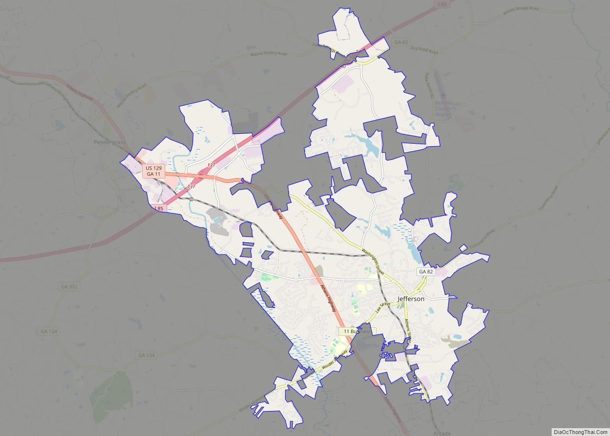
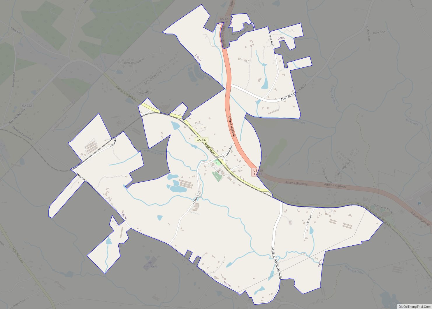
Hoschton Road Map

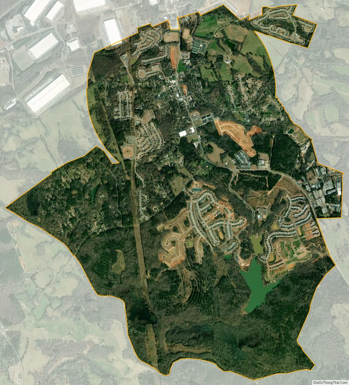
Hoschton city Satellite Map
Geography
Hoschton is located in western Jackson County at 34°05′46″N 83°45′40″W / 34.096164°N 83.761083°W / 34.096164; -83.761083. It is bordered to the north by the city of Braselton. Georgia State Route 53 runs through the center of town, leading northwest 12 miles (19 km) to Oakwood and south 9 miles (14 km) to Winder. Jefferson, the county seat, is 12 miles (19 km) to the east, and Atlanta is 50 miles (80 km) to the southwest.
According to the United States Census Bureau, Hoschton has a total area of 2.6 square miles (6.7 km), of which 0.02 square miles (0.05 km), or 0.79%, are water. Water bodies in Hoschton drain west and east into tributaries of the Mulberry River, part of the Oconee River watershed.
The ZIP Code for Hoschton, 30548, goes well beyond the city limits and covers part of four counties: Jackson, Gwinnett, Hall, and Barrow. Hoschton’s ZIP Code is used within about 40 percent of the Braselton town limits.
See also
Map of Georgia State and its subdivision:- Appling
- Atkinson
- Bacon
- Baker
- Baldwin
- Banks
- Barrow
- Bartow
- Ben Hill
- Berrien
- Bibb
- Bleckley
- Brantley
- Brooks
- Bryan
- Bulloch
- Burke
- Butts
- Calhoun
- Camden
- Candler
- Carroll
- Catoosa
- Charlton
- Chatham
- Chattahoochee
- Chattooga
- Cherokee
- Clarke
- Clay
- Clayton
- Clinch
- Cobb
- Coffee
- Colquitt
- Columbia
- Cook
- Coweta
- Crawford
- Crisp
- Dade
- Dawson
- Decatur
- DeKalb
- Dodge
- Dooly
- Dougherty
- Douglas
- Early
- Echols
- Effingham
- Elbert
- Emanuel
- Evans
- Fannin
- Fayette
- Floyd
- Forsyth
- Franklin
- Fulton
- Gilmer
- Glascock
- Glynn
- Gordon
- Grady
- Greene
- Gwinnett
- Habersham
- Hall
- Hancock
- Haralson
- Harris
- Hart
- Heard
- Henry
- Houston
- Irwin
- Jackson
- Jasper
- Jeff Davis
- Jefferson
- Jenkins
- Johnson
- Jones
- Lamar
- Lanier
- Laurens
- Lee
- Liberty
- Lincoln
- Long
- Lowndes
- Lumpkin
- Macon
- Madison
- Marion
- McDuffie
- McIntosh
- Meriwether
- Miller
- Mitchell
- Monroe
- Montgomery
- Morgan
- Murray
- Muscogee
- Newton
- Oconee
- Oglethorpe
- Paulding
- Peach
- Pickens
- Pierce
- Pike
- Polk
- Pulaski
- Putnam
- Quitman
- Rabun
- Randolph
- Richmond
- Rockdale
- Schley
- Screven
- Seminole
- Spalding
- Stephens
- Stewart
- Sumter
- Talbot
- Taliaferro
- Tattnall
- Taylor
- Telfair
- Terrell
- Thomas
- Tift
- Toombs
- Towns
- Treutlen
- Troup
- Turner
- Twiggs
- Union
- Upson
- Walker
- Walton
- Ware
- Warren
- Washington
- Wayne
- Webster
- Wheeler
- White
- Whitfield
- Wilcox
- Wilkes
- Wilkinson
- Worth
- Alabama
- Alaska
- Arizona
- Arkansas
- California
- Colorado
- Connecticut
- Delaware
- District of Columbia
- Florida
- Georgia
- Hawaii
- Idaho
- Illinois
- Indiana
- Iowa
- Kansas
- Kentucky
- Louisiana
- Maine
- Maryland
- Massachusetts
- Michigan
- Minnesota
- Mississippi
- Missouri
- Montana
- Nebraska
- Nevada
- New Hampshire
- New Jersey
- New Mexico
- New York
- North Carolina
- North Dakota
- Ohio
- Oklahoma
- Oregon
- Pennsylvania
- Rhode Island
- South Carolina
- South Dakota
- Tennessee
- Texas
- Utah
- Vermont
- Virginia
- Washington
- West Virginia
- Wisconsin
- Wyoming