Lawrenceville is a city in and the county seat of Gwinnett County, Georgia, United States. It is a suburb of Atlanta, located approximately 30 miles (50 km) northeast of downtown. As of the 2020 census, the population of Lawrenceville was 30,629. In 2019, the U.S. Census Bureau estimated the city population to be 30,834.
| Name: | Lawrenceville city |
|---|---|
| LSAD Code: | 25 |
| LSAD Description: | city (suffix) |
| State: | Georgia |
| County: | Gwinnett County |
| Elevation: | 1,083 ft (330 m) |
| Total Area: | 13.80 sq mi (35.73 km²) |
| Land Area: | 13.69 sq mi (35.46 km²) |
| Water Area: | 0.11 sq mi (0.28 km²) |
| Total Population: | 30,629 |
| Population Density: | 2,237.33/sq mi (863.83/km²) |
| ZIP code: | 30042-30046, 30049 |
| Area code: | 404/678/770 |
| FIPS code: | 1345488 |
| GNISfeature ID: | 2404897 |
| Website: | www.lawrencevillega.org |
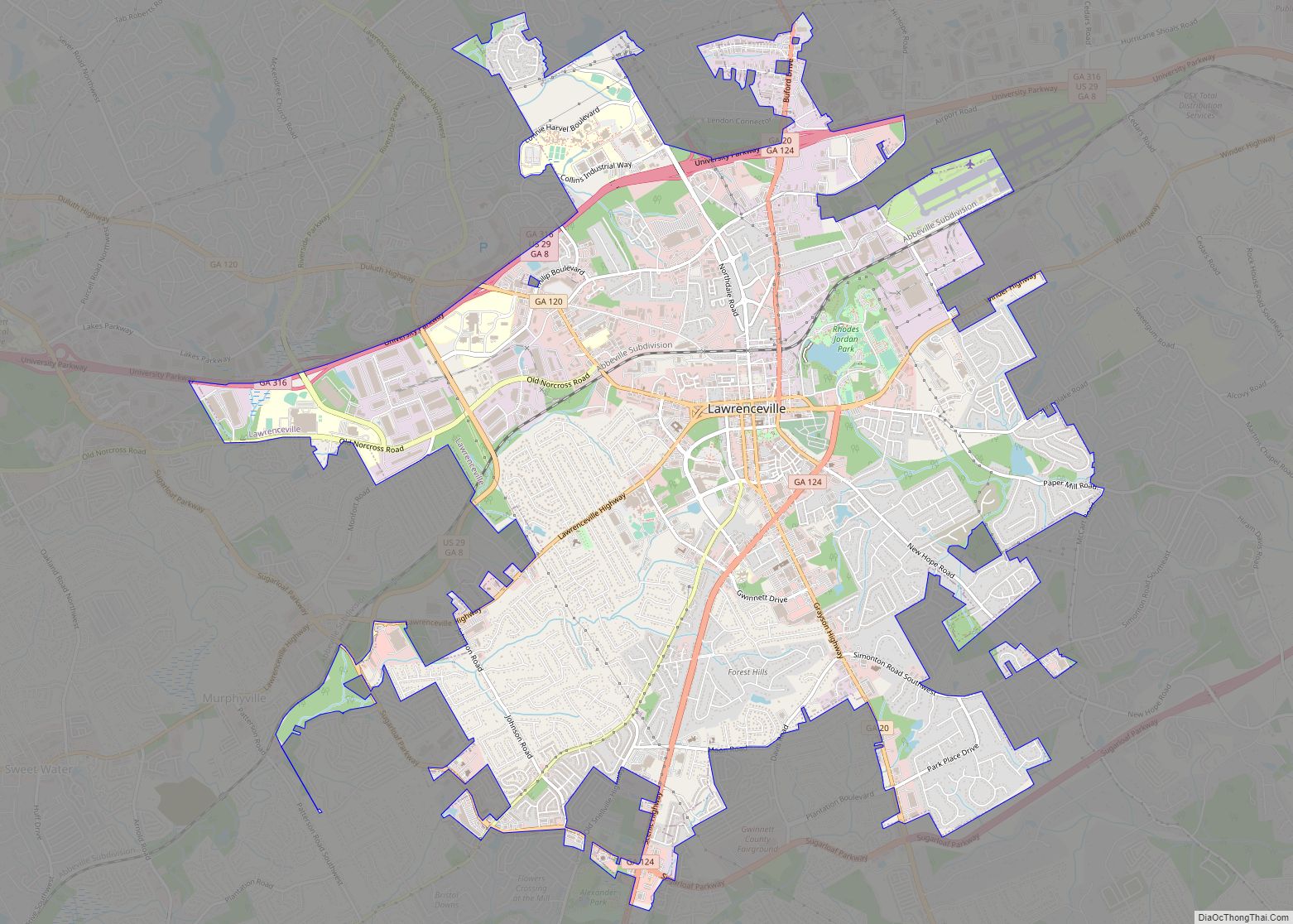
Online Interactive Map
Click on ![]() to view map in "full screen" mode.
to view map in "full screen" mode.
Lawrenceville location map. Where is Lawrenceville city?


History
Lawrenceville was incorporated by an act of the Georgia General Assembly on December 15, 1821. This makes Lawrenceville the second oldest city in the metropolitan Atlanta area. The city is named after Commodore James Lawrence, commander of the frigate Chesapeake during the War of 1812. Lawrence, a native of New Jersey, is probably best known today for his dying command, “Don’t give up the ship!” William Maltbie, the town’s first postmaster, suggested the name of “Lawrenceville.”
In 1821, a permanent site for the county courthouse was selected and purchased, the four streets bordering the square were laid out along with other streets in the village, and a public well was dug. Major Grace built the first permanent courthouse, a brick structure, in 1823–24 for a cost of $4,000. The courthouse presently on the square was constructed in 1885.
During the Civil War, Gwinnett County voted against secession. The county seat of Lawrenceville sent three delegates who unanimously voted against it. This was due to a low slave population with a ratio of 4 whites to 1 slave. Lawrenceville helped contribute to the Confederate war effort. The Lawrenceville Manufacturing Company, a cotton mill built in the 1850s, produced completed textile products such as uniforms. Although Lawrenceville would see no battles throughout the war, the city would be targeted by General Sherman’s famous March to the Sea, falling to frequent raids. The Lawrenceville Manufacturing Company would be burned down by Union soldiers, causing a serious blow to the city’s commercial sector. By the end of the war, half of the wealth of Lawrenceville was lost by the Civil War.
Courtland Winn served two terms as mayor starting in 1884 when he was 21 years old.
The two most famous people born in Lawrenceville gained their fame elsewhere. Charles Henry Smith, born in 1826, left as a young man and lived most of his life in other Georgia towns. During the Civil War he wrote humorous pieces for Atlanta newspapers under the name Bill Arp. He has been described as the South’s most popular writer of the late 19th century, though he is not much read today. Ezzard Charles, born in 1921, grew up in Cincinnati, where opportunities for African-Americans were far better at the time than in the Deep South. He eventually became the World Heavyweight boxing champion by defeating Joe Louis by unanimous decision on September 27, 1950.
Lawrenceville was one of many venues in the nation where Hustler magazine publisher Larry Flynt faced obscenity charges in the late 1970s. On March 6, 1978, during a lunch break in his Lawrenceville trial, he and his local attorney Gene Reeves were shot by a sniper near the courthouse. Both survived, though Flynt was seriously disabled. Years later, imprisoned serial killer Joseph Paul Franklin claimed to have been the shooter, but he never produced any proof and was not charged in the case. (Franklin was executed in 2013 in Missouri for a 1977 sniper slaying.) A heavily fictionalized treatment of the Flynt shooting can be seen in the 1996 movie The People vs. Larry Flynt.
Since 1988, Lawrenceville has been the headquarters of the Presbyterian Church in America.
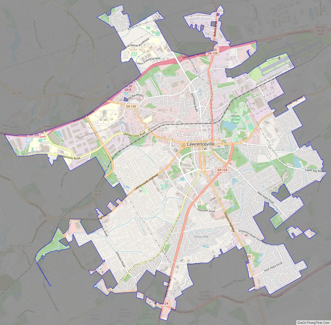
Lawrenceville Road Map
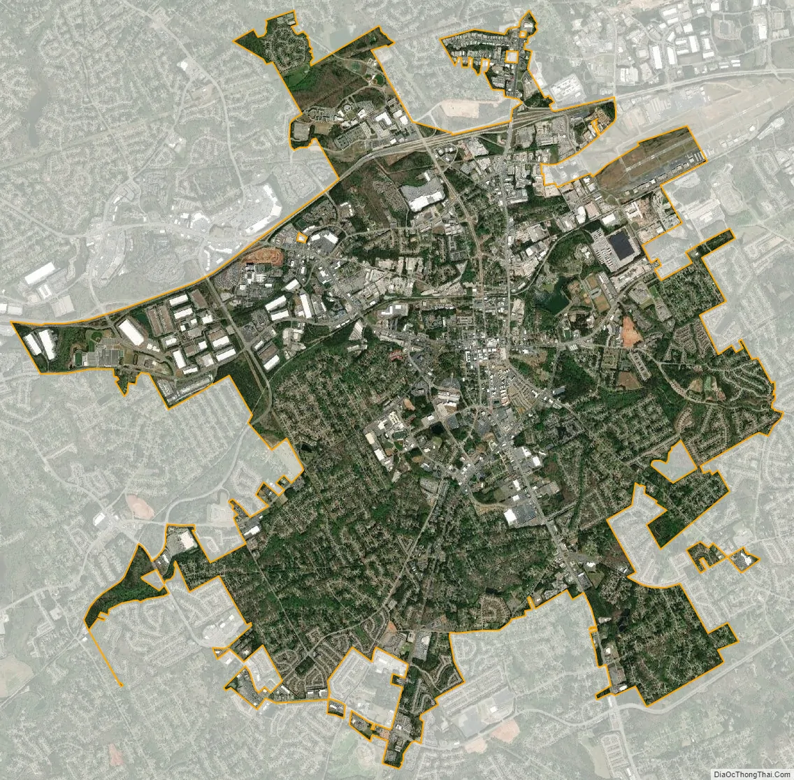
Lawrenceville city Satellite Map
Geography
Lawrenceville is located in central Gwinnett County. According to the United States Census Bureau, the city has a total area of 13.5 square miles (35.0 km), of which 13.4 square miles (34.7 km) is land and 0.1 square miles (0.3 km), or 0.83%, is water.
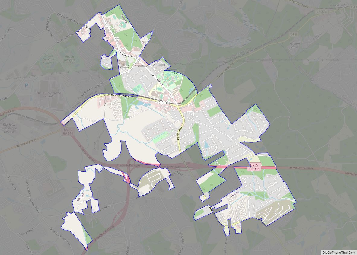
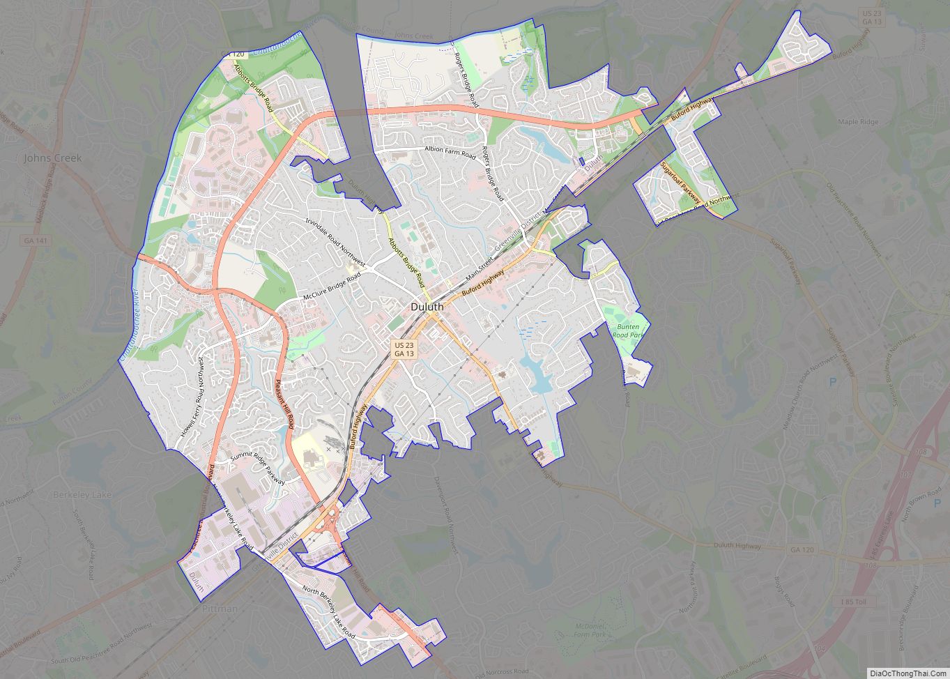
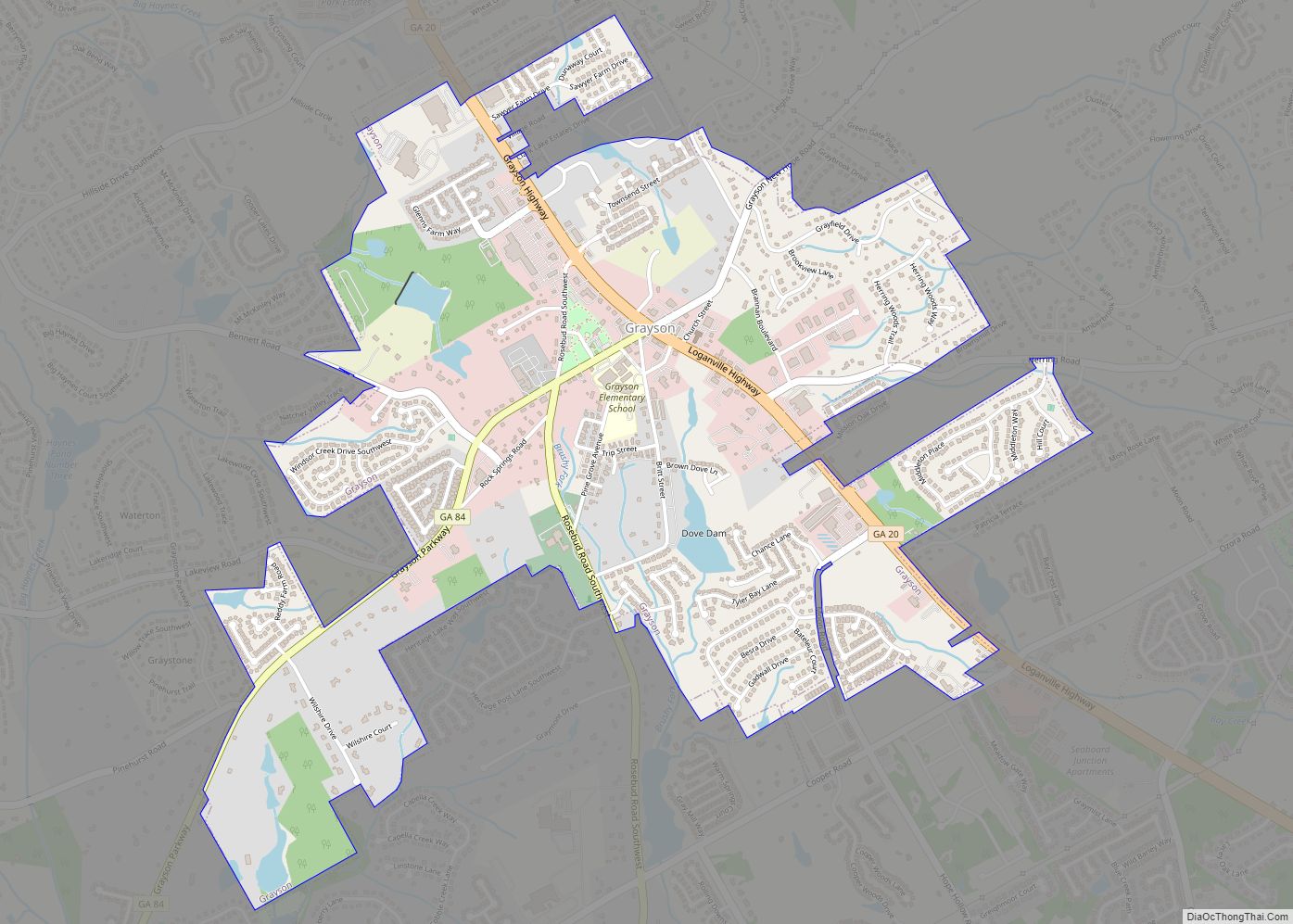
Nearby cities are Dacula to the east, Buford to the north, Suwanee to the north-northwest, Duluth to the northwest, Norcross to the west, Lilburn to the southwest, Snellville to the south, and Grayson to the southeast.
Climate
Lawrenceville has a humid subtropical climate (Köppen climate classification Cfa).
See also
Map of Georgia State and its subdivision:- Appling
- Atkinson
- Bacon
- Baker
- Baldwin
- Banks
- Barrow
- Bartow
- Ben Hill
- Berrien
- Bibb
- Bleckley
- Brantley
- Brooks
- Bryan
- Bulloch
- Burke
- Butts
- Calhoun
- Camden
- Candler
- Carroll
- Catoosa
- Charlton
- Chatham
- Chattahoochee
- Chattooga
- Cherokee
- Clarke
- Clay
- Clayton
- Clinch
- Cobb
- Coffee
- Colquitt
- Columbia
- Cook
- Coweta
- Crawford
- Crisp
- Dade
- Dawson
- Decatur
- DeKalb
- Dodge
- Dooly
- Dougherty
- Douglas
- Early
- Echols
- Effingham
- Elbert
- Emanuel
- Evans
- Fannin
- Fayette
- Floyd
- Forsyth
- Franklin
- Fulton
- Gilmer
- Glascock
- Glynn
- Gordon
- Grady
- Greene
- Gwinnett
- Habersham
- Hall
- Hancock
- Haralson
- Harris
- Hart
- Heard
- Henry
- Houston
- Irwin
- Jackson
- Jasper
- Jeff Davis
- Jefferson
- Jenkins
- Johnson
- Jones
- Lamar
- Lanier
- Laurens
- Lee
- Liberty
- Lincoln
- Long
- Lowndes
- Lumpkin
- Macon
- Madison
- Marion
- McDuffie
- McIntosh
- Meriwether
- Miller
- Mitchell
- Monroe
- Montgomery
- Morgan
- Murray
- Muscogee
- Newton
- Oconee
- Oglethorpe
- Paulding
- Peach
- Pickens
- Pierce
- Pike
- Polk
- Pulaski
- Putnam
- Quitman
- Rabun
- Randolph
- Richmond
- Rockdale
- Schley
- Screven
- Seminole
- Spalding
- Stephens
- Stewart
- Sumter
- Talbot
- Taliaferro
- Tattnall
- Taylor
- Telfair
- Terrell
- Thomas
- Tift
- Toombs
- Towns
- Treutlen
- Troup
- Turner
- Twiggs
- Union
- Upson
- Walker
- Walton
- Ware
- Warren
- Washington
- Wayne
- Webster
- Wheeler
- White
- Whitfield
- Wilcox
- Wilkes
- Wilkinson
- Worth
- Alabama
- Alaska
- Arizona
- Arkansas
- California
- Colorado
- Connecticut
- Delaware
- District of Columbia
- Florida
- Georgia
- Hawaii
- Idaho
- Illinois
- Indiana
- Iowa
- Kansas
- Kentucky
- Louisiana
- Maine
- Maryland
- Massachusetts
- Michigan
- Minnesota
- Mississippi
- Missouri
- Montana
- Nebraska
- Nevada
- New Hampshire
- New Jersey
- New Mexico
- New York
- North Carolina
- North Dakota
- Ohio
- Oklahoma
- Oregon
- Pennsylvania
- Rhode Island
- South Carolina
- South Dakota
- Tennessee
- Texas
- Utah
- Vermont
- Virginia
- Washington
- West Virginia
- Wisconsin
- Wyoming