Morven is a city in Brooks County, Georgia, United States. It is part of the Valdosta, Georgia Metropolitan Statistical Area. The city was named after a mountain in Scotland. The population was 565 at the 2010 census. It was formerly known as Sharpe’s Store.
| Name: | Morven city |
|---|---|
| LSAD Code: | 25 |
| LSAD Description: | city (suffix) |
| State: | Georgia |
| County: | Brooks County |
| Elevation: | 217 ft (66 m) |
| Total Area: | 1.74 sq mi (4.51 km²) |
| Land Area: | 1.73 sq mi (4.47 km²) |
| Water Area: | 0.02 sq mi (0.04 km²) |
| Total Population: | 506 |
| Population Density: | 293.33/sq mi (113.27/km²) |
| ZIP code: | 31638 |
| Area code: | 229 |
| FIPS code: | 1353032 |
| GNISfeature ID: | 0318505 |
| Website: | georgia.gov/cities-counties/morven |
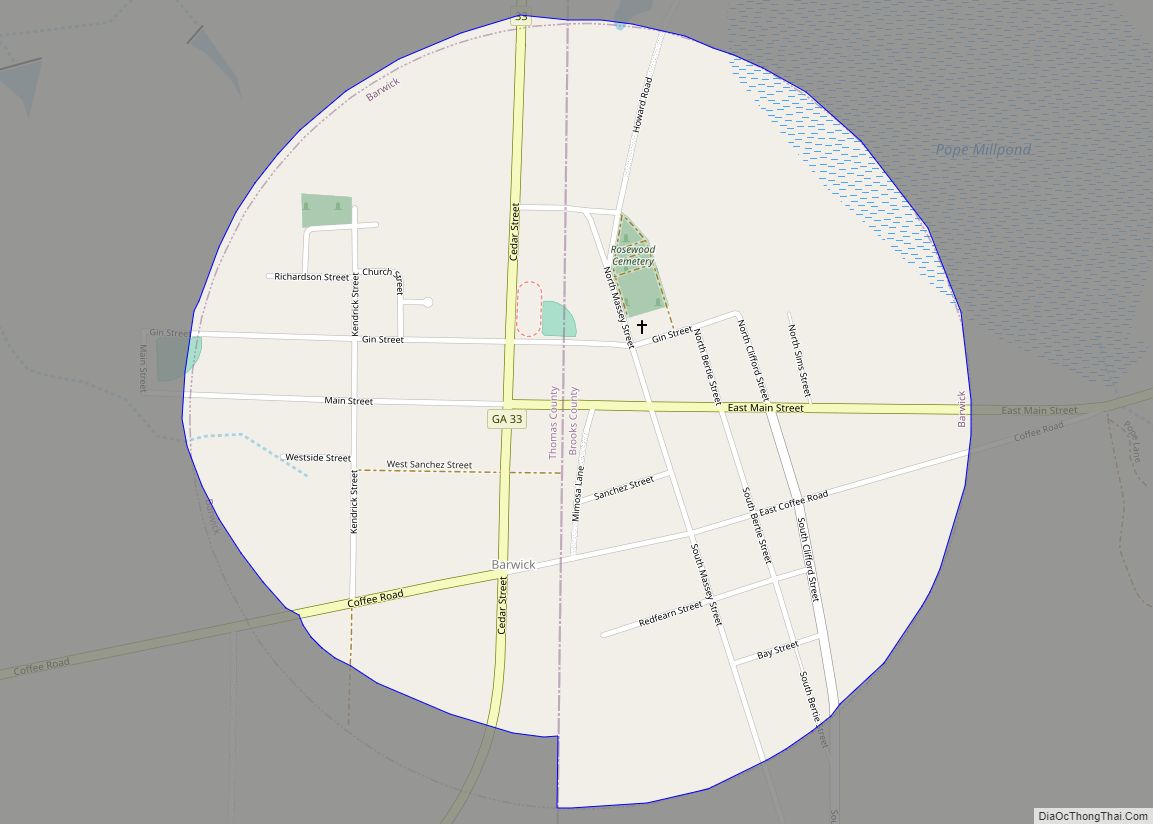
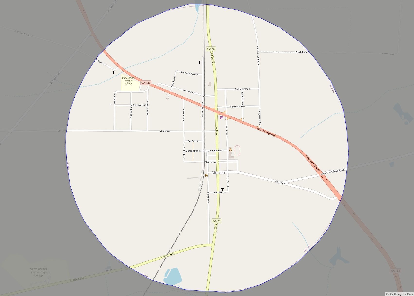
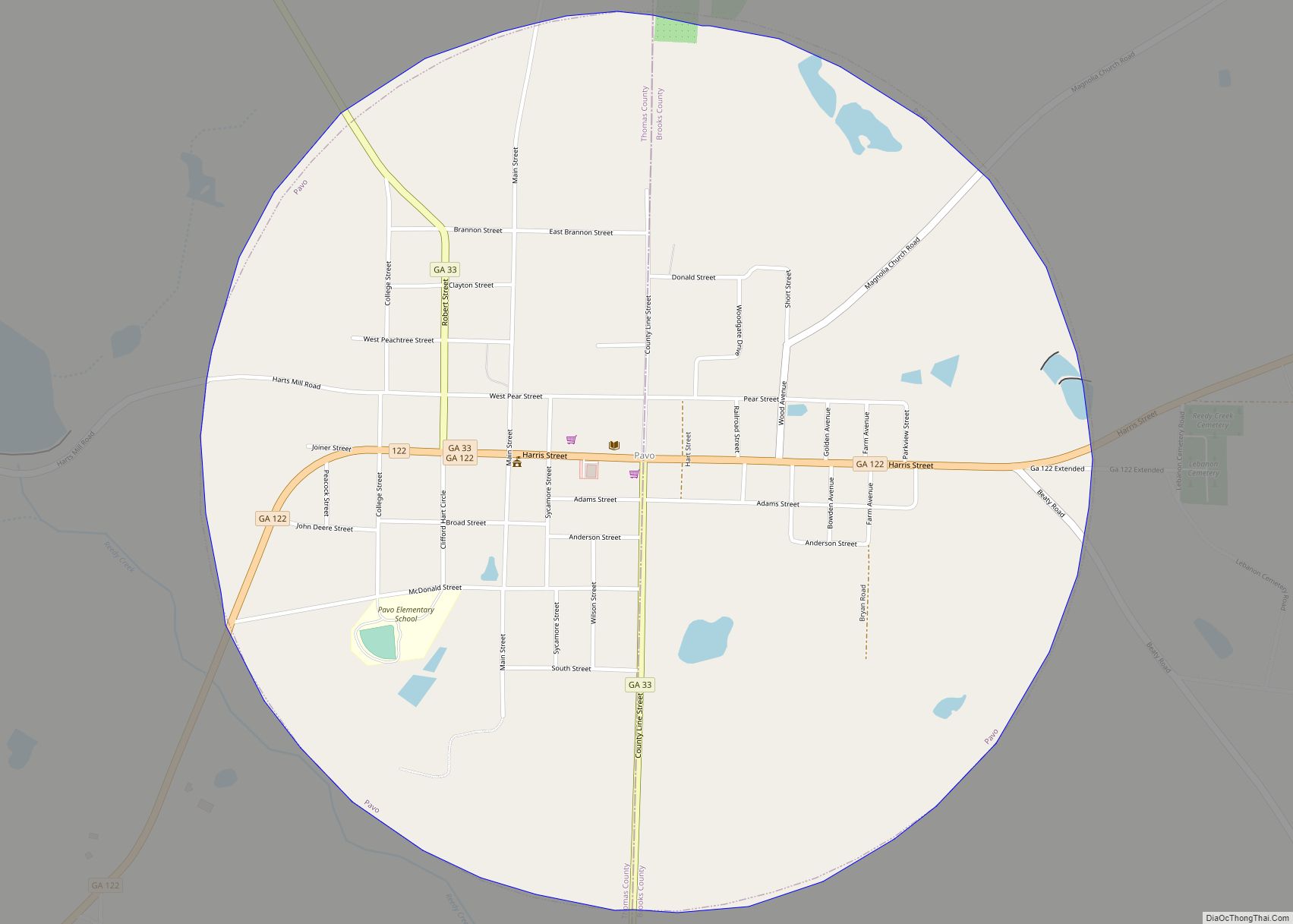
Online Interactive Map
Click on ![]() to view map in "full screen" mode.
to view map in "full screen" mode.
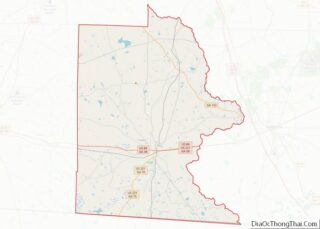
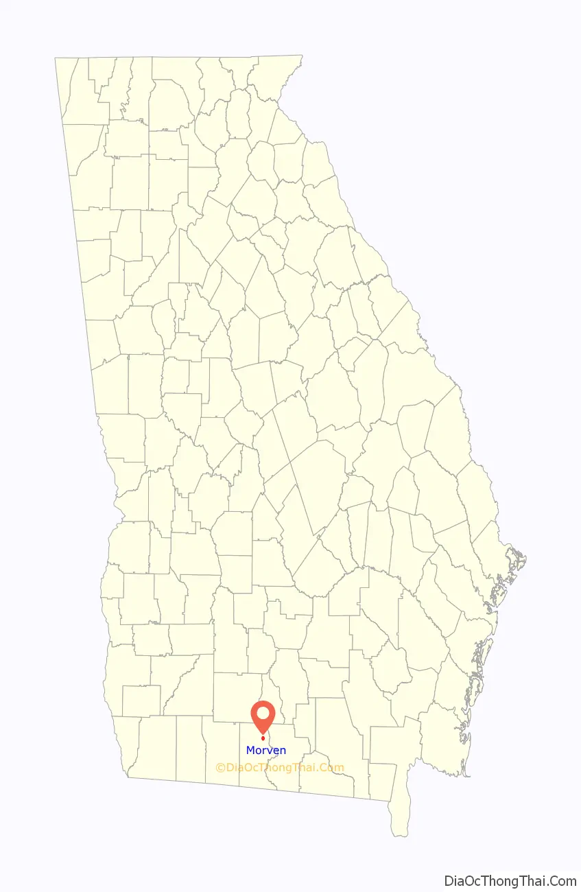
Morven location map. Where is Morven city?

History
Morven is the oldest community established by Europeans in Brooks County.
The Coffee Road was opened through Morven circa 1823. Sion Hall, one of the first settlers, saw an opportunity to use his sawmill and to farm. The area was developed for large cotton plantations, based on enslaved African-American field workers.
Circa 1826, Hamilton Sharpe built a store made of logs; he opened a post office in 1828. The community that grew up around the store became known as Sharpe’s Store. In the same year a Methodist campground was established named Mount Zion. The post office and community was renamed Morven in 1853. At the end of the century, the South Georgia Railroad was built through Morven in 1897. The community was incorporated by the state legislature in 1900.
Cotton cultivation continued to be important in the early 20th century. Hampton Smith owned the Old Joyce Place near Morven. Often hiring laborers through convict leasing, by which Smith paid police their high fees for minor infractions, Smith was known to be abusive to his black workers. On 16 May 1918, Smith was shot and killed by Sidney Johnson, a black worker whom he had severely beaten.
During the ensuing manhunt in Brooks and Lowndes counties, white mobs captured at least 12 blacks and lynched them during the next few days. All but one were men; the victims included 19-year-old Mary Turner, who had denounced the lynching of her husband, and her eight-month-old fetus, cut from her body and also murdered at the site, on the west bank of the Little River.
A second railroad (Valdosta/Morven & Western RR) was built through Morven in the 1920s. In 1923 the town raised an $8,000 bond to provide a water system. A group of local women organized to gain installation of electric lights in August 1924. After World War II, the first paved road was built in the community in the winter of 1948 to 1949 from Quitman, the county seat of Brooks County.
Morven Road Map
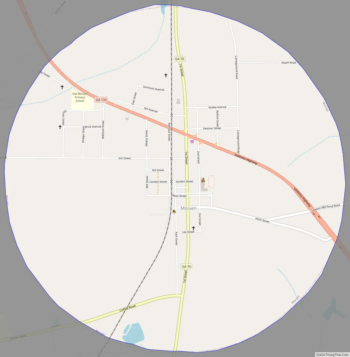
Morven city Satellite Map

Geography
Morven is located at 30°56′39″N 83°30′03″W / 30.94417°N 83.50083°W / 30.94417; -83.50083 (30.944263, -83.500796).
According to the United States Census Bureau, the city has a total area of 1.7 square miles (4.5 km), of which 0.015 square miles (0.04 km), or 0.92%, is water.
Morven is located at the junction of State Highways 76 and 94 and is 8 miles (13 km) west of Interstate 75.
See also
Map of Georgia State and its subdivision:- Appling
- Atkinson
- Bacon
- Baker
- Baldwin
- Banks
- Barrow
- Bartow
- Ben Hill
- Berrien
- Bibb
- Bleckley
- Brantley
- Brooks
- Bryan
- Bulloch
- Burke
- Butts
- Calhoun
- Camden
- Candler
- Carroll
- Catoosa
- Charlton
- Chatham
- Chattahoochee
- Chattooga
- Cherokee
- Clarke
- Clay
- Clayton
- Clinch
- Cobb
- Coffee
- Colquitt
- Columbia
- Cook
- Coweta
- Crawford
- Crisp
- Dade
- Dawson
- Decatur
- DeKalb
- Dodge
- Dooly
- Dougherty
- Douglas
- Early
- Echols
- Effingham
- Elbert
- Emanuel
- Evans
- Fannin
- Fayette
- Floyd
- Forsyth
- Franklin
- Fulton
- Gilmer
- Glascock
- Glynn
- Gordon
- Grady
- Greene
- Gwinnett
- Habersham
- Hall
- Hancock
- Haralson
- Harris
- Hart
- Heard
- Henry
- Houston
- Irwin
- Jackson
- Jasper
- Jeff Davis
- Jefferson
- Jenkins
- Johnson
- Jones
- Lamar
- Lanier
- Laurens
- Lee
- Liberty
- Lincoln
- Long
- Lowndes
- Lumpkin
- Macon
- Madison
- Marion
- McDuffie
- McIntosh
- Meriwether
- Miller
- Mitchell
- Monroe
- Montgomery
- Morgan
- Murray
- Muscogee
- Newton
- Oconee
- Oglethorpe
- Paulding
- Peach
- Pickens
- Pierce
- Pike
- Polk
- Pulaski
- Putnam
- Quitman
- Rabun
- Randolph
- Richmond
- Rockdale
- Schley
- Screven
- Seminole
- Spalding
- Stephens
- Stewart
- Sumter
- Talbot
- Taliaferro
- Tattnall
- Taylor
- Telfair
- Terrell
- Thomas
- Tift
- Toombs
- Towns
- Treutlen
- Troup
- Turner
- Twiggs
- Union
- Upson
- Walker
- Walton
- Ware
- Warren
- Washington
- Wayne
- Webster
- Wheeler
- White
- Whitfield
- Wilcox
- Wilkes
- Wilkinson
- Worth
- Alabama
- Alaska
- Arizona
- Arkansas
- California
- Colorado
- Connecticut
- Delaware
- District of Columbia
- Florida
- Georgia
- Hawaii
- Idaho
- Illinois
- Indiana
- Iowa
- Kansas
- Kentucky
- Louisiana
- Maine
- Maryland
- Massachusetts
- Michigan
- Minnesota
- Mississippi
- Missouri
- Montana
- Nebraska
- Nevada
- New Hampshire
- New Jersey
- New Mexico
- New York
- North Carolina
- North Dakota
- Ohio
- Oklahoma
- Oregon
- Pennsylvania
- Rhode Island
- South Carolina
- South Dakota
- Tennessee
- Texas
- Utah
- Vermont
- Virginia
- Washington
- West Virginia
- Wisconsin
- Wyoming