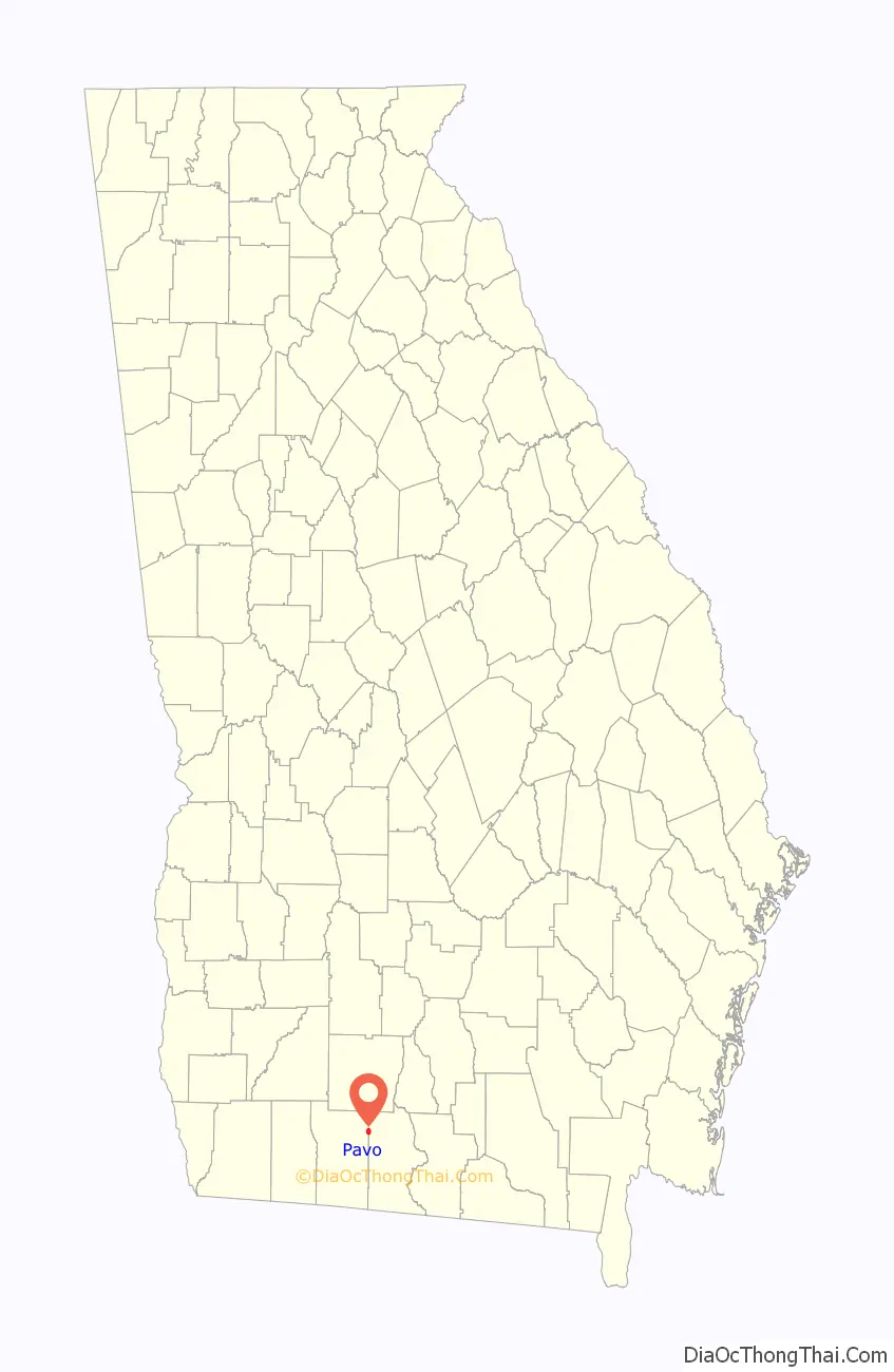
Pavo is a city that is divided by the county line between Brooks and Thomas counties in the U.S. state of Georgia. It is part of the Valdosta, Georgia Metropolitan Statistical Area. The population was 627 at the 2010 census.
The city is home to a branch of the Thomas County Public Library System.
Pavo was featured in country music star Alan Jackson’s video for his hit song “Little Man”, lamenting the decline of small-town America.
| Name: | Pavo city |
|---|---|
| LSAD Code: | 25 |
| LSAD Description: | city (suffix) |
| State: | Georgia |
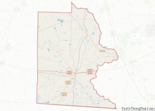
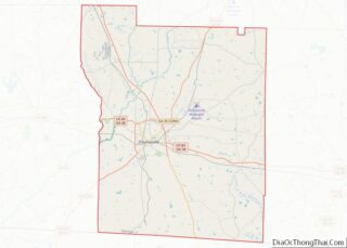
| County: | Brooks County, Thomas County |
| Elevation: | 256 ft (78 m) |
| Total Area: | 1.77 sq mi (4.57 km²) |
| Land Area: | 1.76 sq mi (4.56 km²) |
| Water Area: | 0.01 sq mi (0.01 km²) |
| Total Population: | 622 |
| Population Density: | 353.41/sq mi (136.47/km²) |
| ZIP code: | 31778 |
| Area code: | 229 |
| FIPS code: | 1359556 |
| GNISfeature ID: | 0356459 |
| Website: | cityofpavo.com |
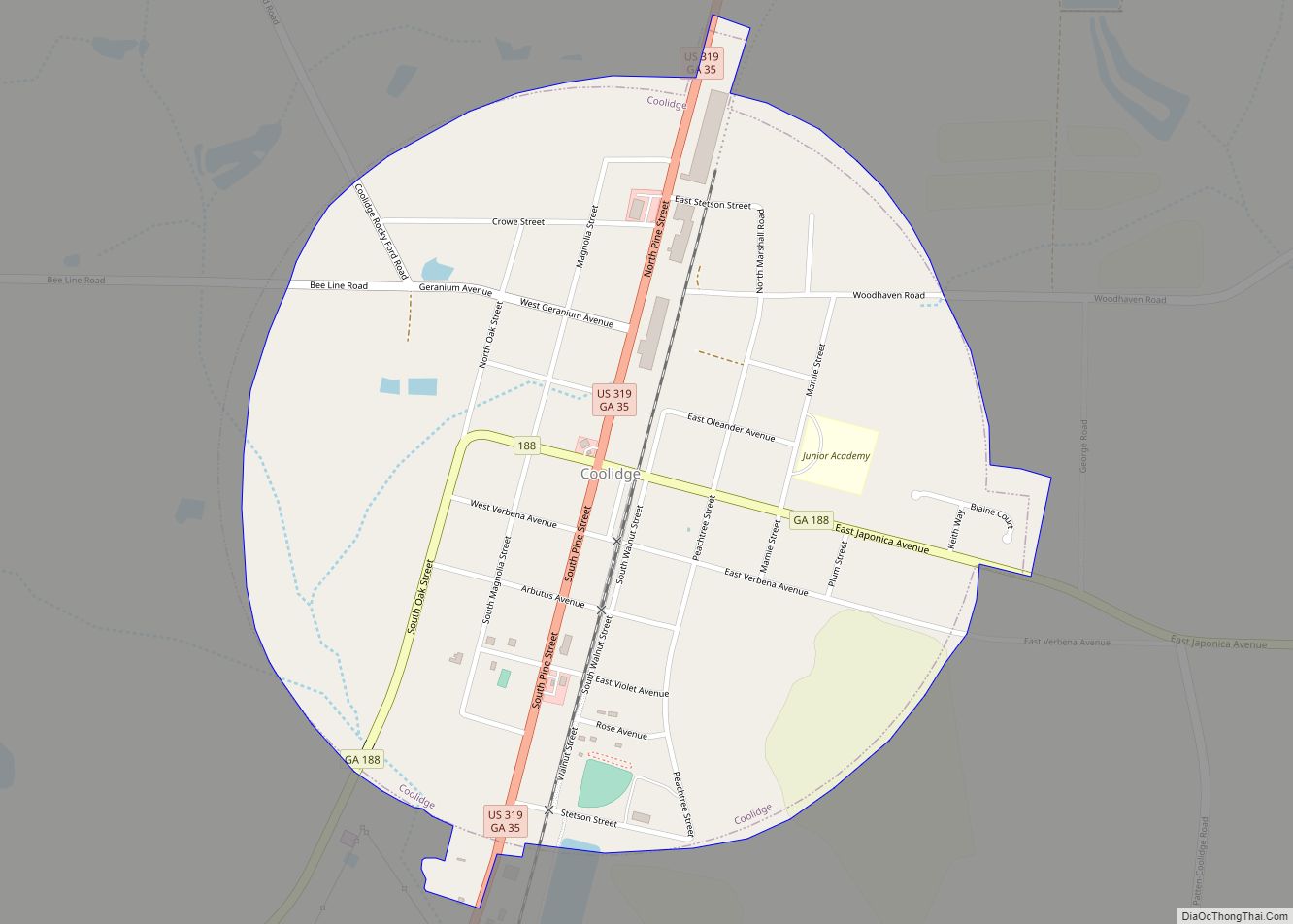
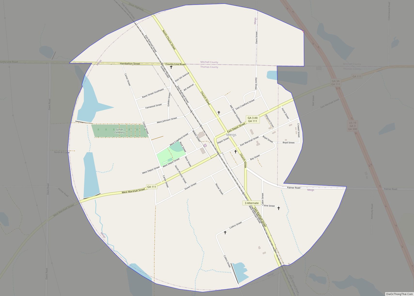
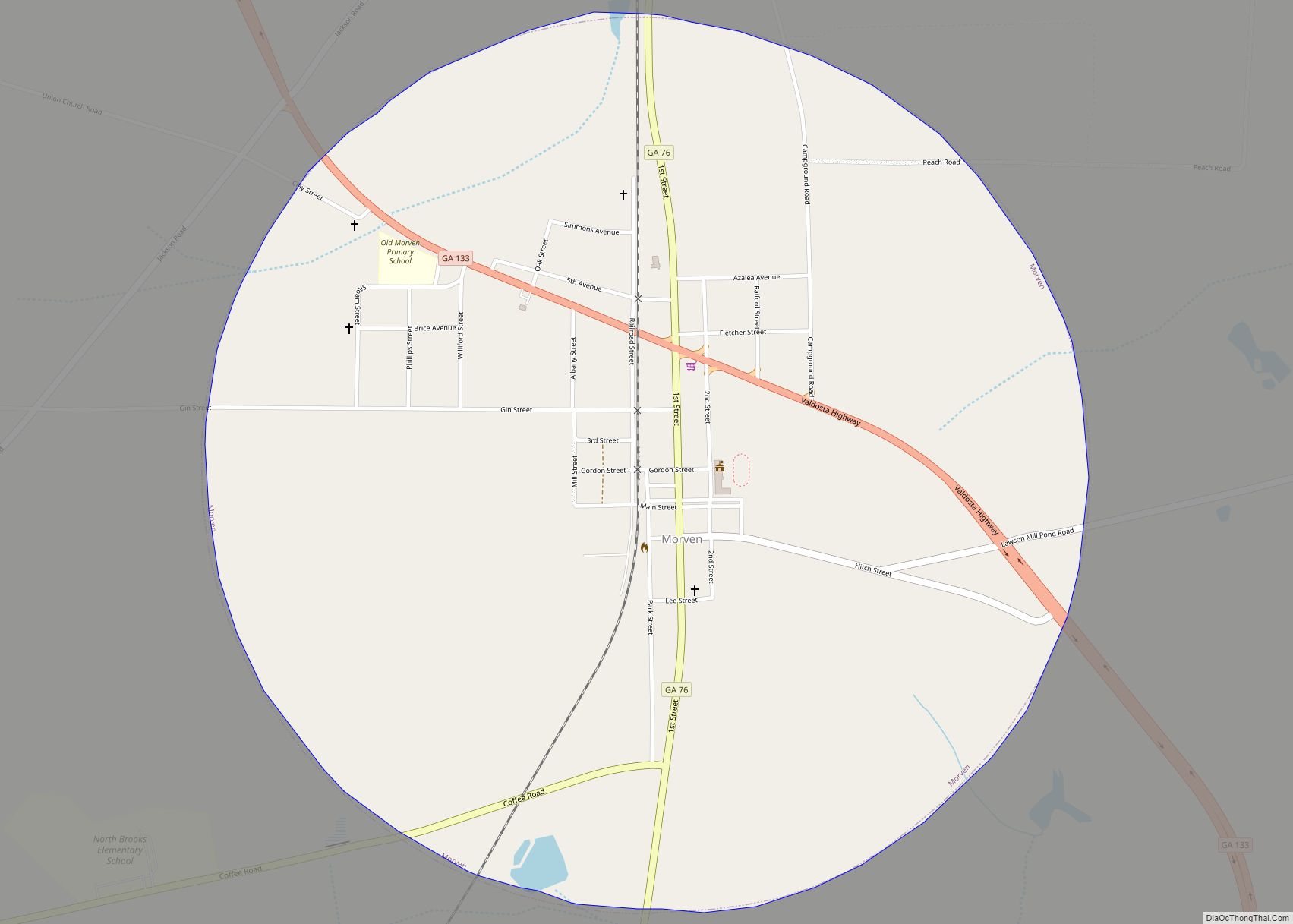
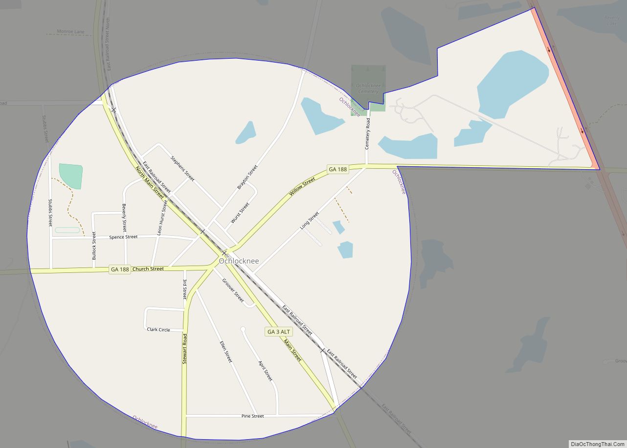
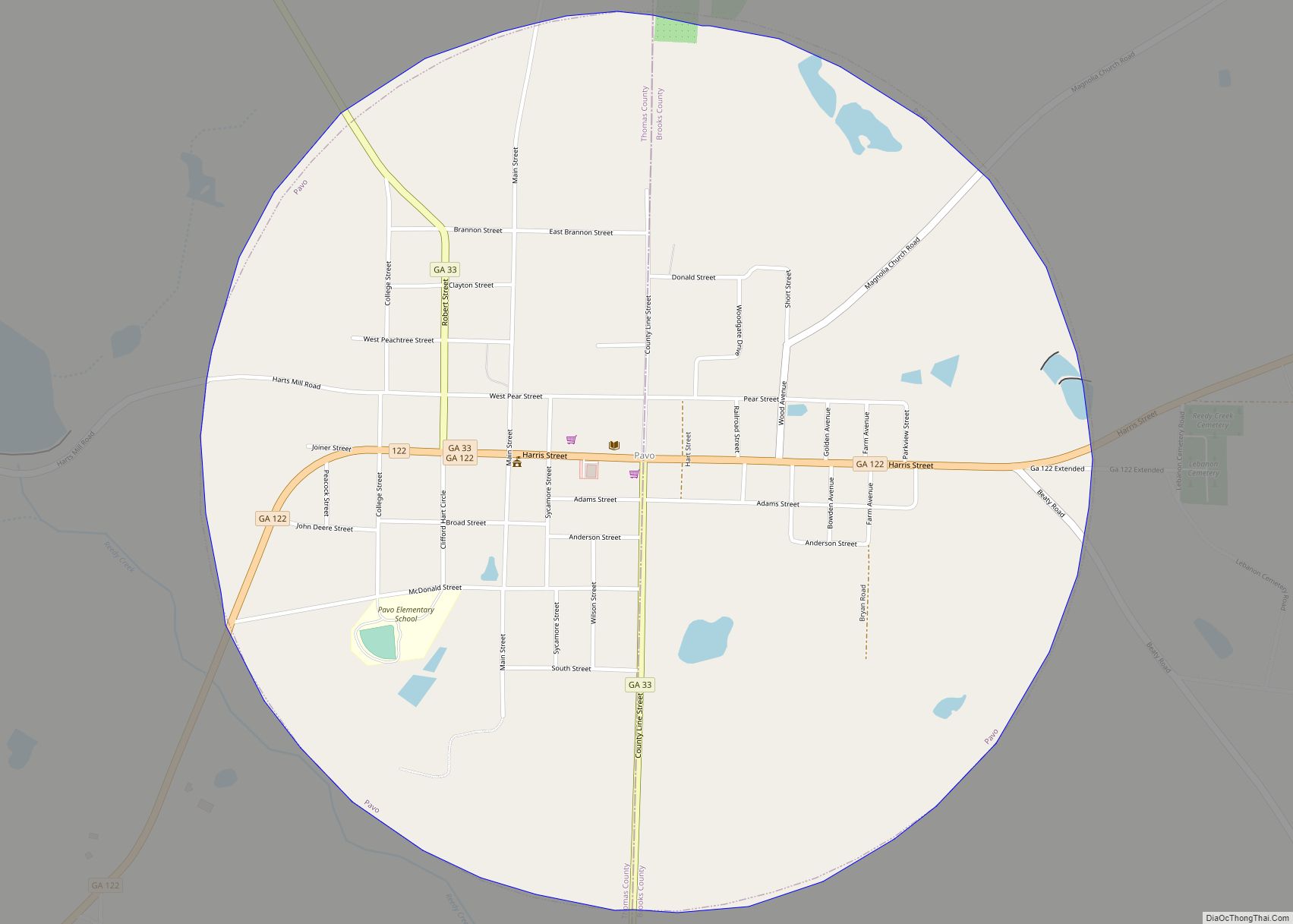
Online Interactive Map
Click on ![]() to view map in "full screen" mode.
to view map in "full screen" mode.
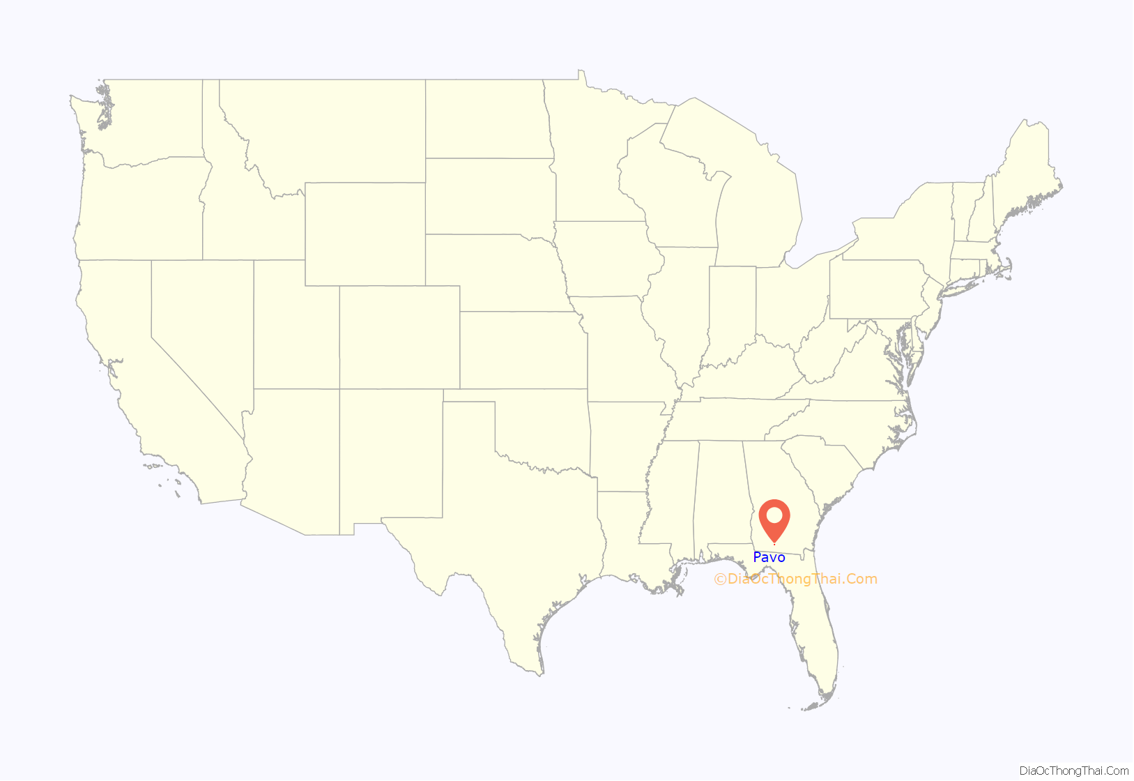
Pavo location map. Where is Pavo city?
History
The community was originally known as McDonald, named after one of two prominent families in the area. However, concerns were raised about misdirected mail, resulting from confusion between McDonald, in the southern part of the state, and McDonough located in the north. The community was then renamed after an early postmaster, Duncan D. Peacock, “Pavo” being the Latin word meaning “peacock”.
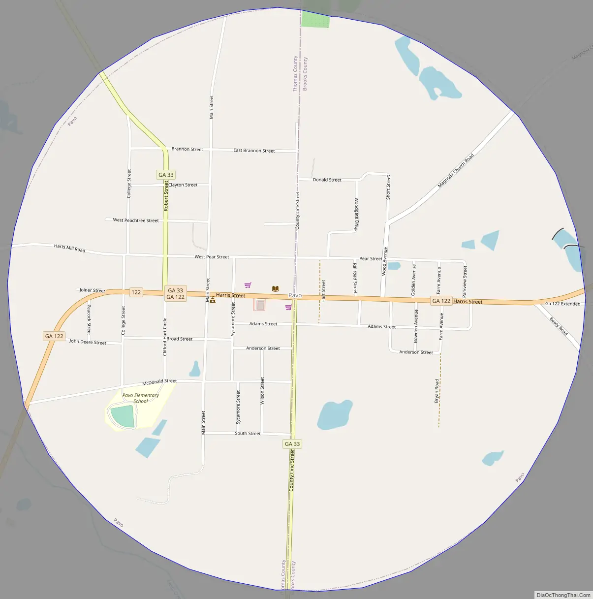
Pavo Road Map
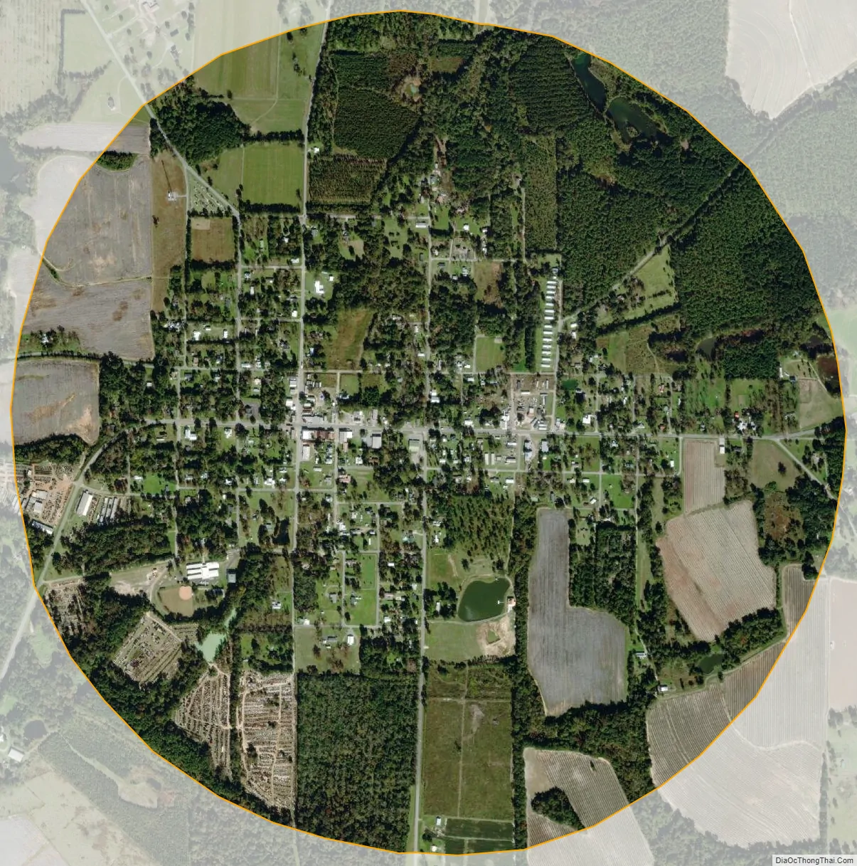
Pavo city Satellite Map
Geography
Pavo is located at 30°57′37″N 83°44′22″W / 30.96028°N 83.73944°W / 30.96028; -83.73944 (30.960341, -83.739352). Georgia State Route 122 (Harris Street) passes through the center of town, leading southwest 17 miles (27 km) to Thomasville and east 21 miles (34 km) to Interstate 75 at Hahira. Georgia State Route 33 leads north out of town as Robert Street towards Moultrie; southbound it leaves as County Line Road towards Barwick and Boston.
According to the United States Census Bureau, Pavo has a total area of 1.8 square miles (4.7 km), all land.
See also
Map of Georgia State and its subdivision:- Appling
- Atkinson
- Bacon
- Baker
- Baldwin
- Banks
- Barrow
- Bartow
- Ben Hill
- Berrien
- Bibb
- Bleckley
- Brantley
- Brooks
- Bryan
- Bulloch
- Burke
- Butts
- Calhoun
- Camden
- Candler
- Carroll
- Catoosa
- Charlton
- Chatham
- Chattahoochee
- Chattooga
- Cherokee
- Clarke
- Clay
- Clayton
- Clinch
- Cobb
- Coffee
- Colquitt
- Columbia
- Cook
- Coweta
- Crawford
- Crisp
- Dade
- Dawson
- Decatur
- DeKalb
- Dodge
- Dooly
- Dougherty
- Douglas
- Early
- Echols
- Effingham
- Elbert
- Emanuel
- Evans
- Fannin
- Fayette
- Floyd
- Forsyth
- Franklin
- Fulton
- Gilmer
- Glascock
- Glynn
- Gordon
- Grady
- Greene
- Gwinnett
- Habersham
- Hall
- Hancock
- Haralson
- Harris
- Hart
- Heard
- Henry
- Houston
- Irwin
- Jackson
- Jasper
- Jeff Davis
- Jefferson
- Jenkins
- Johnson
- Jones
- Lamar
- Lanier
- Laurens
- Lee
- Liberty
- Lincoln
- Long
- Lowndes
- Lumpkin
- Macon
- Madison
- Marion
- McDuffie
- McIntosh
- Meriwether
- Miller
- Mitchell
- Monroe
- Montgomery
- Morgan
- Murray
- Muscogee
- Newton
- Oconee
- Oglethorpe
- Paulding
- Peach
- Pickens
- Pierce
- Pike
- Polk
- Pulaski
- Putnam
- Quitman
- Rabun
- Randolph
- Richmond
- Rockdale
- Schley
- Screven
- Seminole
- Spalding
- Stephens
- Stewart
- Sumter
- Talbot
- Taliaferro
- Tattnall
- Taylor
- Telfair
- Terrell
- Thomas
- Tift
- Toombs
- Towns
- Treutlen
- Troup
- Turner
- Twiggs
- Union
- Upson
- Walker
- Walton
- Ware
- Warren
- Washington
- Wayne
- Webster
- Wheeler
- White
- Whitfield
- Wilcox
- Wilkes
- Wilkinson
- Worth
- Alabama
- Alaska
- Arizona
- Arkansas
- California
- Colorado
- Connecticut
- Delaware
- District of Columbia
- Florida
- Georgia
- Hawaii
- Idaho
- Illinois
- Indiana
- Iowa
- Kansas
- Kentucky
- Louisiana
- Maine
- Maryland
- Massachusetts
- Michigan
- Minnesota
- Mississippi
- Missouri
- Montana
- Nebraska
- Nevada
- New Hampshire
- New Jersey
- New Mexico
- New York
- North Carolina
- North Dakota
- Ohio
- Oklahoma
- Oregon
- Pennsylvania
- Rhode Island
- South Carolina
- South Dakota
- Tennessee
- Texas
- Utah
- Vermont
- Virginia
- Washington
- West Virginia
- Wisconsin
- Wyoming