Quitman is a city in and the county seat of Brooks County, Georgia, United States. The population was 3,850 at the 2010 census. The Quitman Historic District is listed on the National Register of Historic Places.
Quitman was a home of James Pierpont, author of the song “Jingle Bells” (1857), and uncle of American financier J.P. Morgan. Pierpont was organist for the First Presbyterian Church.
A local Quitman ordinance prohibits chickens from crossing the road.
It is called the “Camellia City”, as the tree grows in profusion around the area.
| Name: | Quitman city |
|---|---|
| LSAD Code: | 25 |
| LSAD Description: | city (suffix) |
| State: | Georgia |
| County: | Brooks County |
| Elevation: | 190 ft (58 m) |
| Total Area: | 4.15 sq mi (10.74 km²) |
| Land Area: | 4.13 sq mi (10.69 km²) |
| Water Area: | 0.02 sq mi (0.05 km²) |
| Total Population: | 4,064 |
| Population Density: | 984.73/sq mi (380.18/km²) |
| ZIP code: | 31643 |
| Area code: | 229 |
| FIPS code: | 1363224 |
| GNISfeature ID: | 0321256 |
| Website: | www.cityofquitmanga.com |
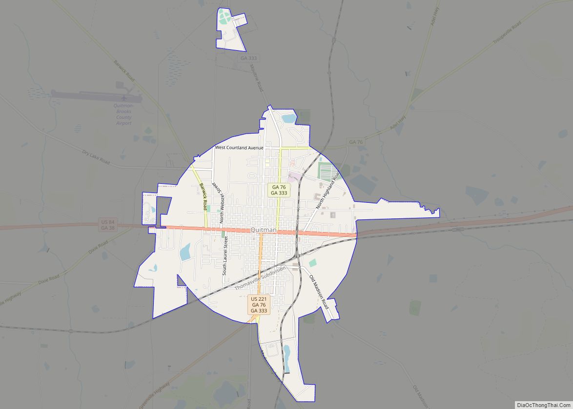
Online Interactive Map
Click on ![]() to view map in "full screen" mode.
to view map in "full screen" mode.
Quitman location map. Where is Quitman city?


History
Quitman was designated county seat of newly formed Brooks County in 1858. It was incorporated as a town in 1859 and as a city in 1904. As the county seat, it was the center of trading in the county, which was devoted to cotton plantations before and after the American Civil War. The community was named for John A. Quitman, a hero of the Mexican–American War.
Quitman Road Map

Quitman city Satellite Map

Geography
Quitman is located in southern Georgia at 30°47′05″N 83°33′39″W / 30.784677°N 83.560747°W / 30.784677; -83.560747. U.S. Routes 84 and 221 pass through the center of the city. US 84 leads west 121 miles to Dothan, Alabama, while US 221 leads south 24 miles (39 km) to Greenville, Florida, and 26 miles (42 km) to Interstate 10. US 84 and US 221 together lead east 15 miles (24 km) to Interstate 75 and 17 miles (27 km) to Valdosta.
According to the United States Census Bureau, Quitman has a total area of 4.1 square miles (10.7 km), of which 0.019 square miles (0.05 km), or .50%, is water.
See also
Map of Georgia State and its subdivision:- Appling
- Atkinson
- Bacon
- Baker
- Baldwin
- Banks
- Barrow
- Bartow
- Ben Hill
- Berrien
- Bibb
- Bleckley
- Brantley
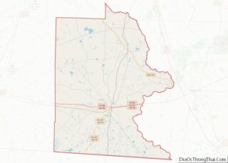
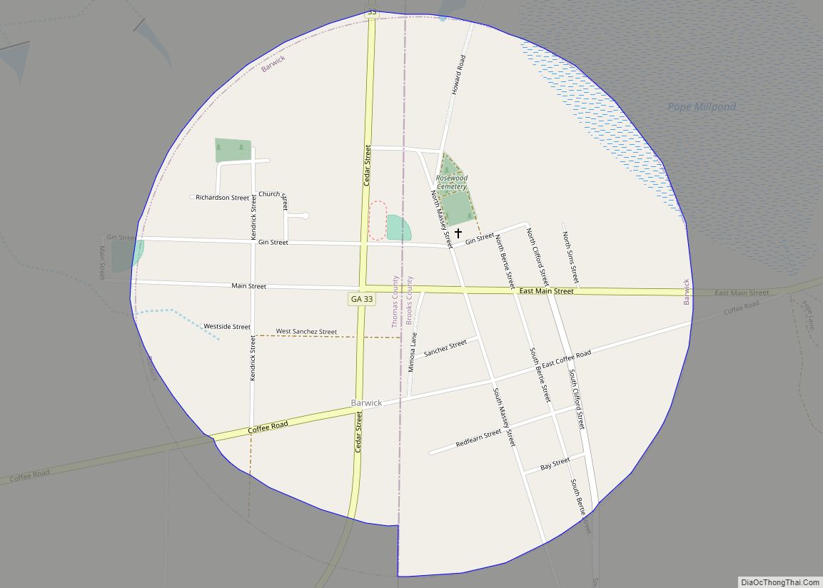
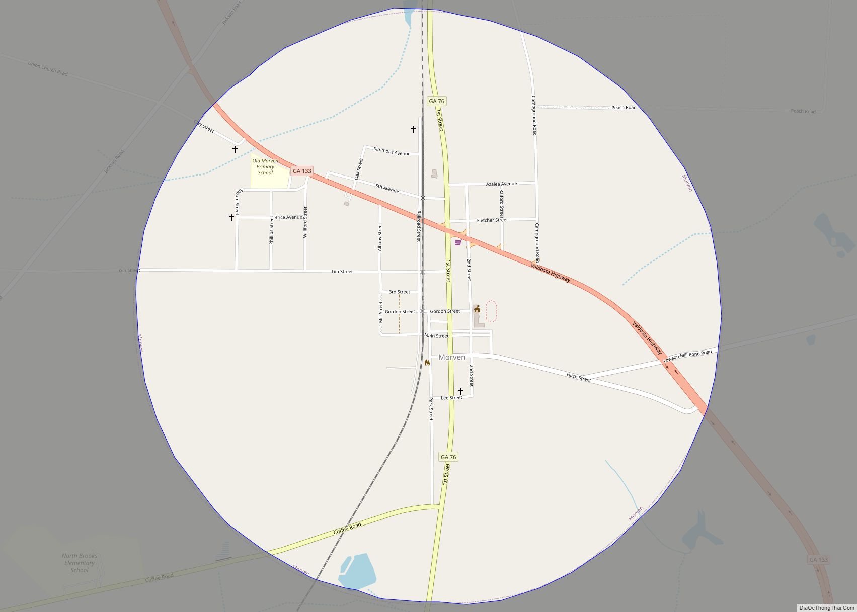
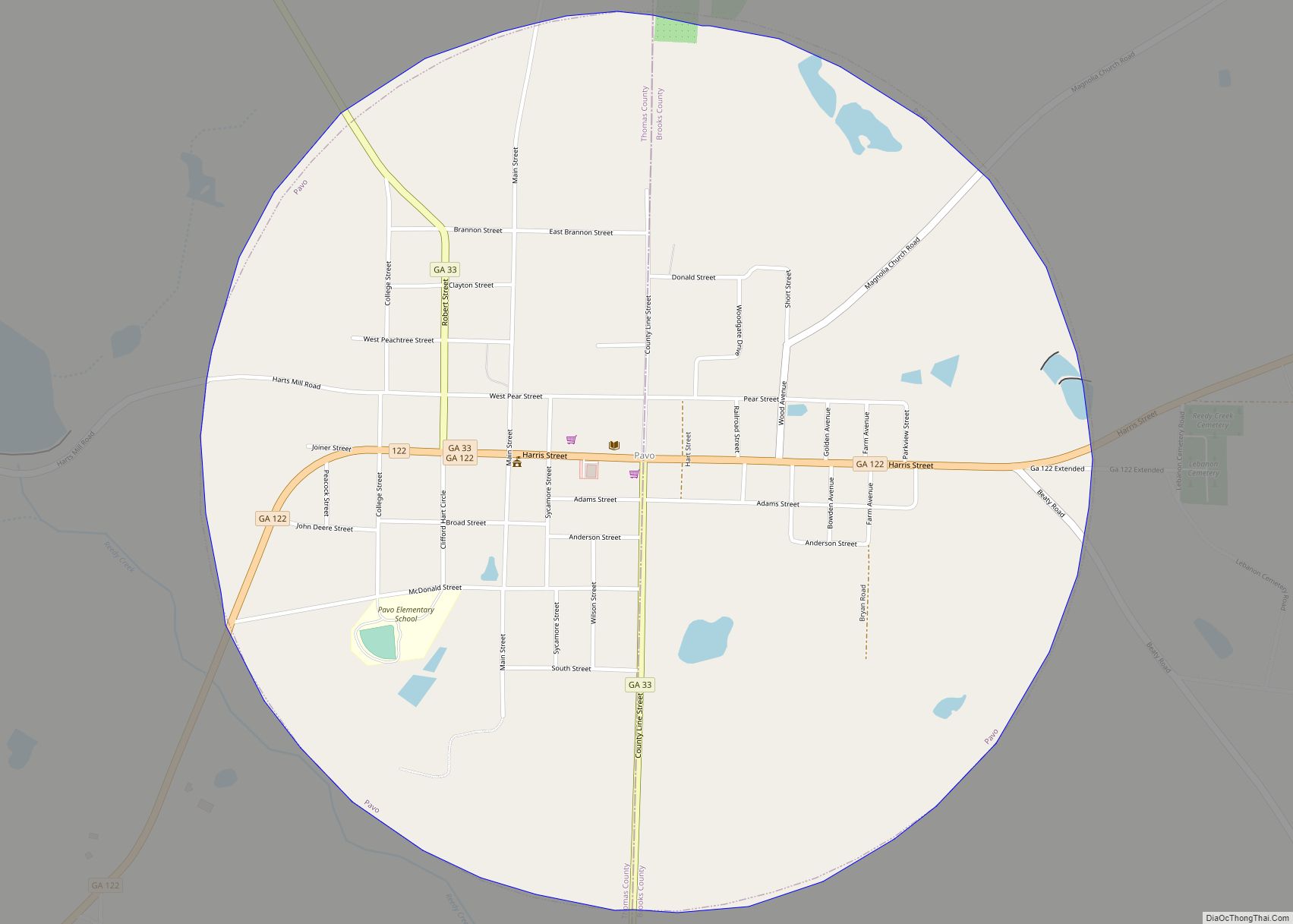
- Brooks
- Bryan
- Bulloch
- Burke
- Butts
- Calhoun
- Camden
- Candler
- Carroll
- Catoosa
- Charlton
- Chatham
- Chattahoochee
- Chattooga
- Cherokee
- Clarke
- Clay
- Clayton
- Clinch
- Cobb
- Coffee
- Colquitt
- Columbia
- Cook
- Coweta
- Crawford
- Crisp
- Dade
- Dawson
- Decatur
- DeKalb
- Dodge
- Dooly
- Dougherty
- Douglas
- Early
- Echols
- Effingham
- Elbert
- Emanuel
- Evans
- Fannin
- Fayette
- Floyd
- Forsyth
- Franklin
- Fulton
- Gilmer
- Glascock
- Glynn
- Gordon
- Grady
- Greene
- Gwinnett
- Habersham
- Hall
- Hancock
- Haralson
- Harris
- Hart
- Heard
- Henry
- Houston
- Irwin
- Jackson
- Jasper
- Jeff Davis
- Jefferson
- Jenkins
- Johnson
- Jones
- Lamar
- Lanier
- Laurens
- Lee
- Liberty
- Lincoln
- Long
- Lowndes
- Lumpkin
- Macon
- Madison
- Marion
- McDuffie
- McIntosh
- Meriwether
- Miller
- Mitchell
- Monroe
- Montgomery
- Morgan
- Murray
- Muscogee
- Newton
- Oconee
- Oglethorpe
- Paulding
- Peach
- Pickens
- Pierce
- Pike
- Polk
- Pulaski
- Putnam
- Quitman
- Rabun
- Randolph
- Richmond
- Rockdale
- Schley
- Screven
- Seminole
- Spalding
- Stephens
- Stewart
- Sumter
- Talbot
- Taliaferro
- Tattnall
- Taylor
- Telfair
- Terrell
- Thomas
- Tift
- Toombs
- Towns
- Treutlen
- Troup
- Turner
- Twiggs
- Union
- Upson
- Walker
- Walton
- Ware
- Warren
- Washington
- Wayne
- Webster
- Wheeler
- White
- Whitfield
- Wilcox
- Wilkes
- Wilkinson
- Worth
- Alabama
- Alaska
- Arizona
- Arkansas
- California
- Colorado
- Connecticut
- Delaware
- District of Columbia
- Florida
- Georgia
- Hawaii
- Idaho
- Illinois
- Indiana
- Iowa
- Kansas
- Kentucky
- Louisiana
- Maine
- Maryland
- Massachusetts
- Michigan
- Minnesota
- Mississippi
- Missouri
- Montana
- Nebraska
- Nevada
- New Hampshire
- New Jersey
- New Mexico
- New York
- North Carolina
- North Dakota
- Ohio
- Oklahoma
- Oregon
- Pennsylvania
- Rhode Island
- South Carolina
- South Dakota
- Tennessee
- Texas
- Utah
- Vermont
- Virginia
- Washington
- West Virginia
- Wisconsin
- Wyoming