Talking Rock is a town in Pickens County, Georgia, United States. The population is 91.
| Name: | Talking Rock town |
|---|---|
| LSAD Code: | 43 |
| LSAD Description: | town (suffix) |
| State: | Georgia |
| County: | Pickens County |
| Elevation: | 1,093 ft (333 m) |
| Total Area: | 2.09 sq mi (5.41 km²) |
| Land Area: | 2.06 sq mi (5.34 km²) |
| Water Area: | 0.03 sq mi (0.06 km²) |
| Total Population: | 91 |
| Population Density: | 44.09/sq mi (17.03/km²) |
| ZIP code: | 30175 |
| Area code: | 706 |
| FIPS code: | 1375272 |
| GNISfeature ID: | 0356579 |
| Website: | talkingrockga.com |
Online Interactive Map
Click on ![]() to view map in "full screen" mode.
to view map in "full screen" mode.
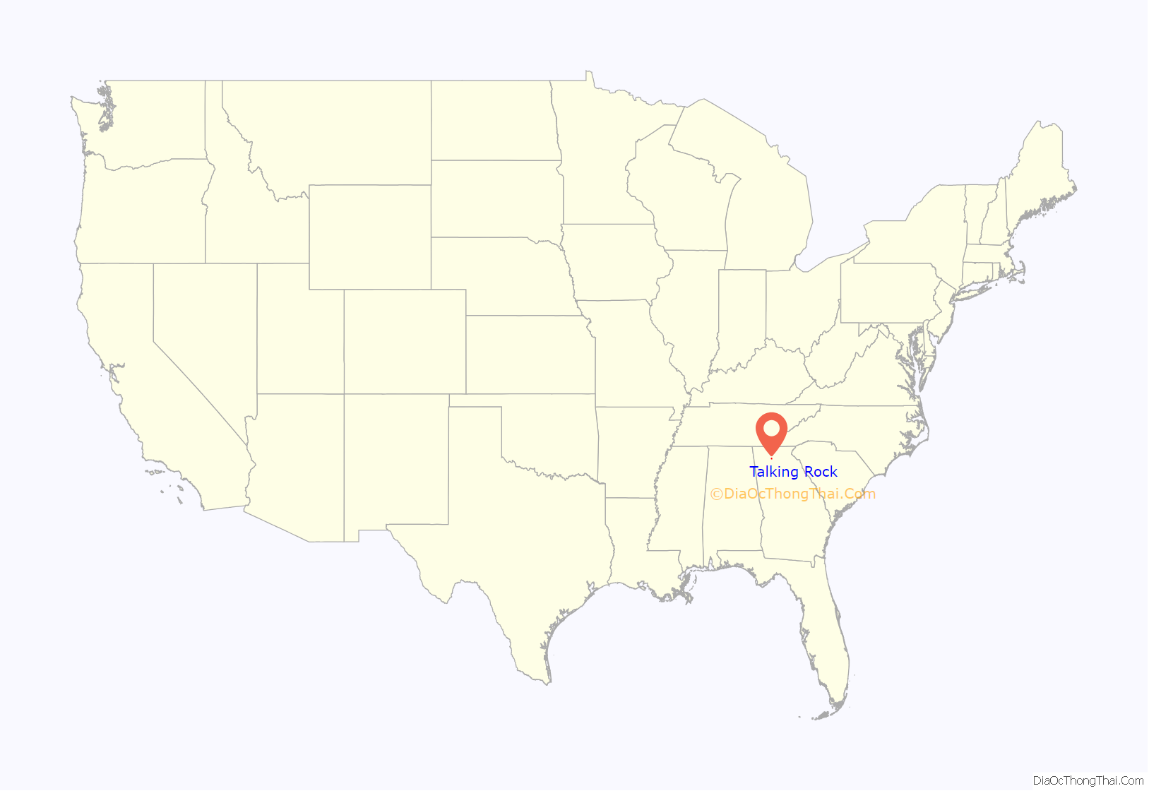
Talking Rock location map. Where is Talking Rock town?
History
Talking Rock had its start in the early 1880s when the railroad was extended to that point. The community takes its name from nearby Talking Rock Creek. The Georgia General Assembly incorporated Talking Rock as a town in 1883.
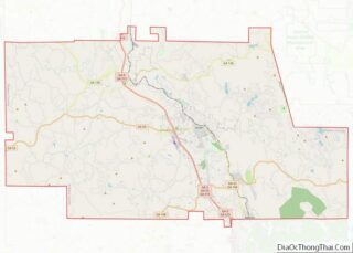
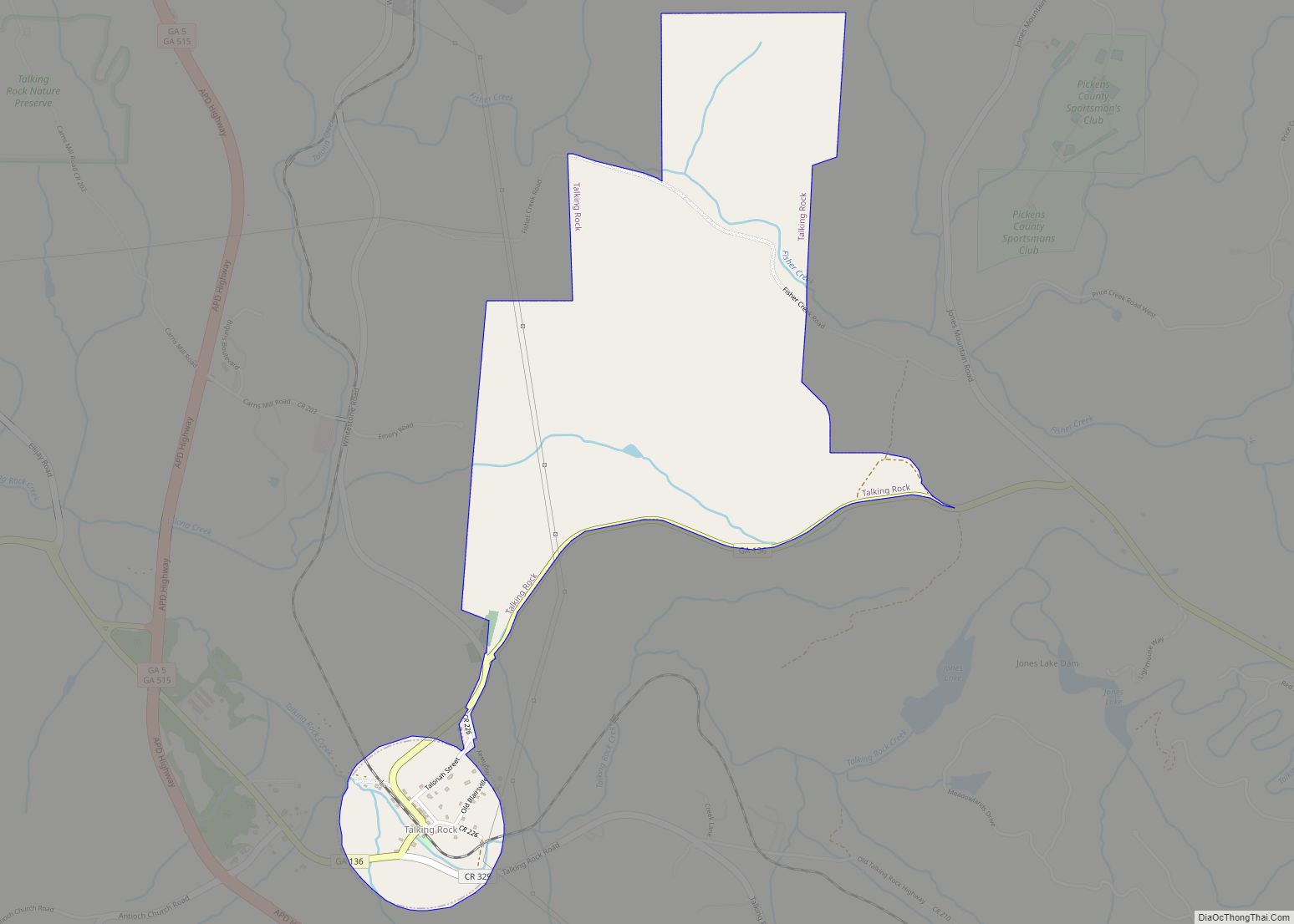
Talking Rock Road Map
Talking Rock city Satellite Map
Geography
Talking Rock is located at 34°30′34″N 84°30′19″W / 34.50944°N 84.50528°W / 34.50944; -84.50528 (34.509557, -84.505175).
Georgia State Route 136 is the main route through the town, and leads east 30 mi (48 km) to Georgia State Route 9 north of Dawsonville, and west 31 mi (50 km) to Resaca along Interstate 75. Georgia State Routes 5 and 515 (Zell Miller Mountain Parkway) pass to the west of the city as a four-lane highway, leading north 15 mi (24 km) to Ellijay and southeast 6 mi (10 km) to Jasper, the Pickens County seat. Atlanta is 66 mi (106 km) south via GA-5/515 to Interstate 575 and Interstate 75.
According to the United States Census Bureau, the town has a total area of 1.49 square miles (3.9 km), all of it land.
See also
Map of Georgia State and its subdivision:- Appling
- Atkinson
- Bacon
- Baker
- Baldwin
- Banks
- Barrow
- Bartow
- Ben Hill
- Berrien
- Bibb
- Bleckley
- Brantley
- Brooks
- Bryan
- Bulloch
- Burke
- Butts
- Calhoun
- Camden
- Candler
- Carroll
- Catoosa
- Charlton
- Chatham
- Chattahoochee
- Chattooga
- Cherokee
- Clarke
- Clay
- Clayton
- Clinch
- Cobb
- Coffee
- Colquitt
- Columbia
- Cook
- Coweta
- Crawford
- Crisp
- Dade
- Dawson
- Decatur
- DeKalb
- Dodge
- Dooly
- Dougherty
- Douglas
- Early
- Echols
- Effingham
- Elbert
- Emanuel
- Evans
- Fannin
- Fayette
- Floyd
- Forsyth
- Franklin
- Fulton
- Gilmer
- Glascock
- Glynn
- Gordon
- Grady
- Greene
- Gwinnett
- Habersham
- Hall
- Hancock
- Haralson
- Harris
- Hart
- Heard
- Henry
- Houston
- Irwin
- Jackson
- Jasper
- Jeff Davis
- Jefferson
- Jenkins
- Johnson
- Jones
- Lamar
- Lanier
- Laurens
- Lee
- Liberty
- Lincoln
- Long
- Lowndes
- Lumpkin
- Macon
- Madison
- Marion
- McDuffie
- McIntosh
- Meriwether
- Miller
- Mitchell
- Monroe
- Montgomery
- Morgan
- Murray
- Muscogee
- Newton
- Oconee
- Oglethorpe
- Paulding
- Peach
- Pickens
- Pierce
- Pike
- Polk
- Pulaski
- Putnam
- Quitman
- Rabun
- Randolph
- Richmond
- Rockdale
- Schley
- Screven
- Seminole
- Spalding
- Stephens
- Stewart
- Sumter
- Talbot
- Taliaferro
- Tattnall
- Taylor
- Telfair
- Terrell
- Thomas
- Tift
- Toombs
- Towns
- Treutlen
- Troup
- Turner
- Twiggs
- Union
- Upson
- Walker
- Walton
- Ware
- Warren
- Washington
- Wayne
- Webster
- Wheeler
- White
- Whitfield
- Wilcox
- Wilkes
- Wilkinson
- Worth
- Alabama
- Alaska
- Arizona
- Arkansas
- California
- Colorado
- Connecticut
- Delaware
- District of Columbia
- Florida
- Georgia
- Hawaii
- Idaho
- Illinois
- Indiana
- Iowa
- Kansas
- Kentucky
- Louisiana
- Maine
- Maryland
- Massachusetts
- Michigan
- Minnesota
- Mississippi
- Missouri
- Montana
- Nebraska
- Nevada
- New Hampshire
- New Jersey
- New Mexico
- New York
- North Carolina
- North Dakota
- Ohio
- Oklahoma
- Oregon
- Pennsylvania
- Rhode Island
- South Carolina
- South Dakota
- Tennessee
- Texas
- Utah
- Vermont
- Virginia
- Washington
- West Virginia
- Wisconsin
- Wyoming
