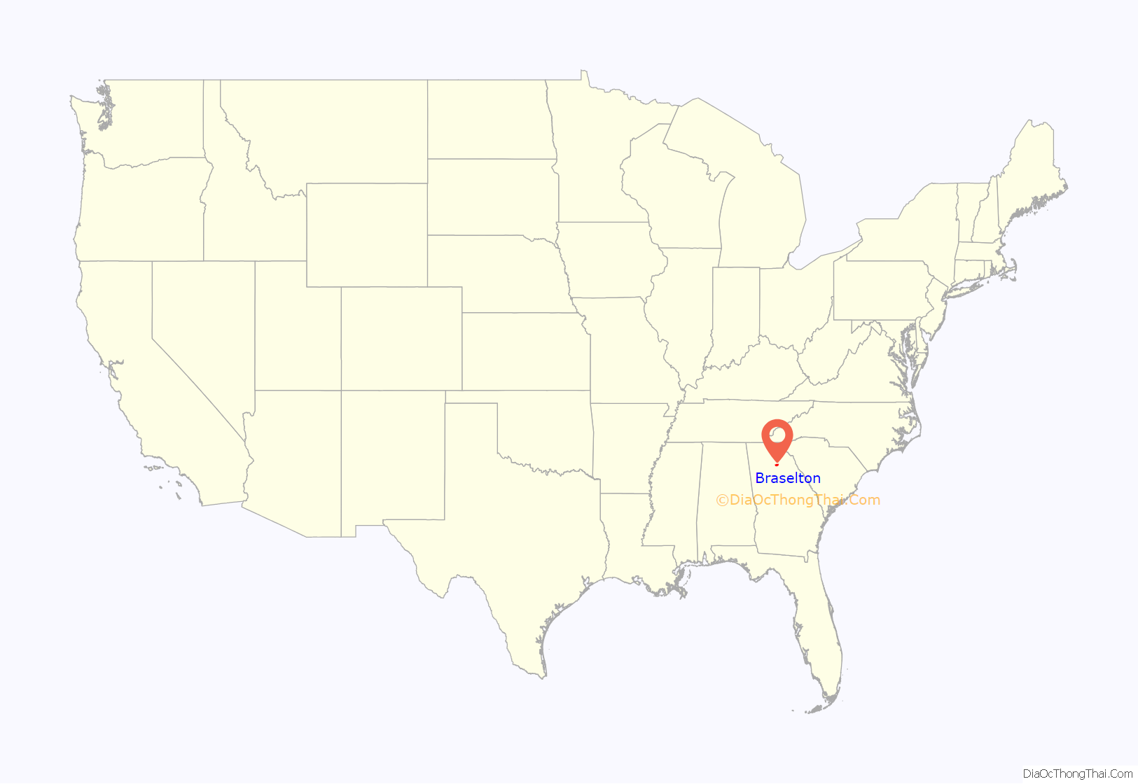
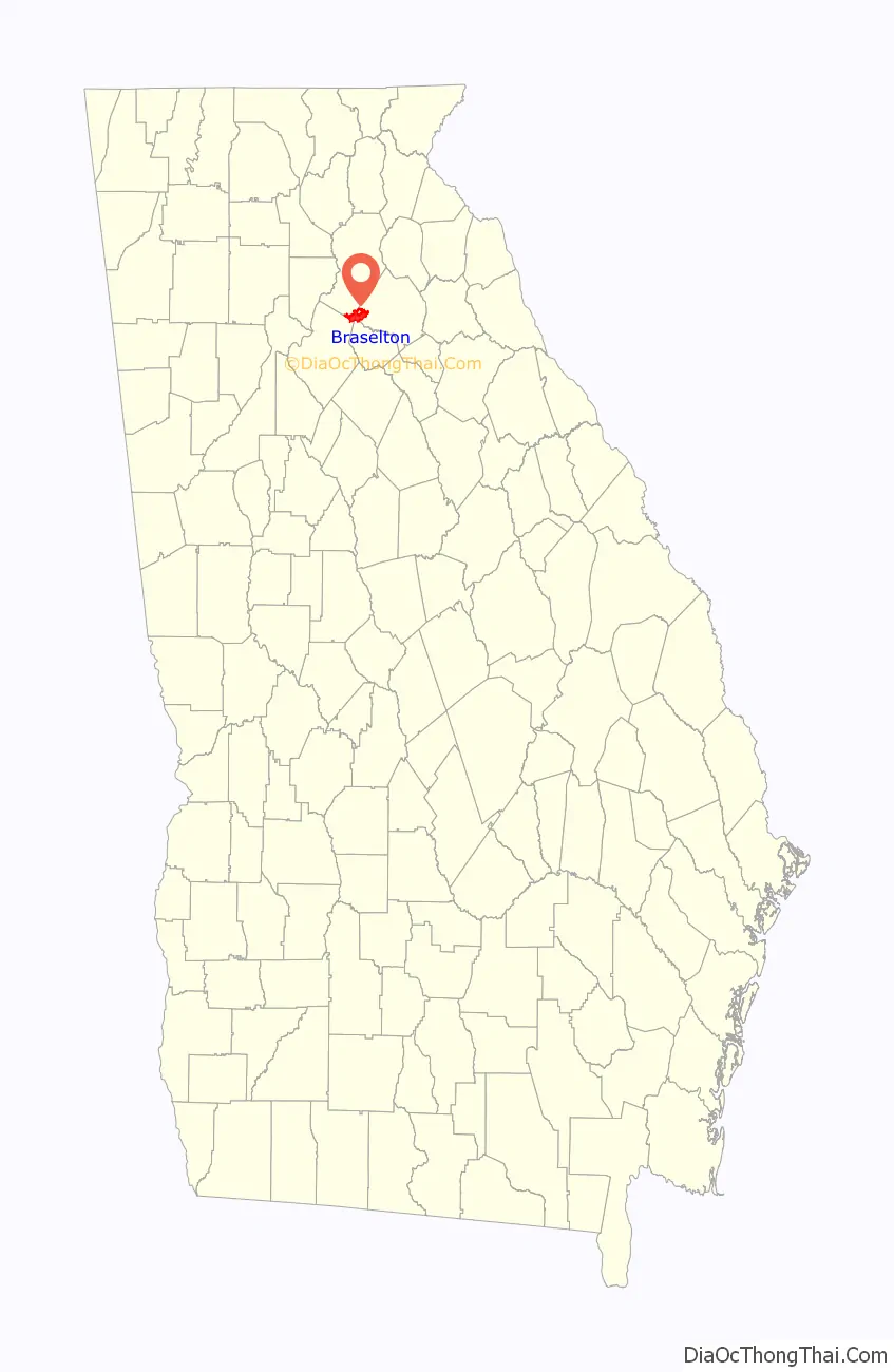
Braselton (/ˈbræzəltən/ BRAZ-əl-tən) is a town in Barrow, Gwinnett, Hall, and Jackson counties in the U.S. state of Georgia, approximately 43 miles (69 km) northeast of Atlanta. As of the 2010 census, the town had a population of 7,511, and in 2018 the estimated population was 11,652.
The Gwinnett and Barrow County portions of Braselton are part of the Atlanta–Sandy Springs–Marietta, GA, Metropolitan Statistical Area, and the Hall County portion is part of both the Atlanta and Gainesville, GA Metropolitan Statistical Areas. The remaining Jackson County portion of Braselton is not part of any core based statistical area.
| Name: | Braselton town |
|---|---|
| LSAD Code: | 43 |
| LSAD Description: | town (suffix) |
| State: | Georgia |
| County: | Barrow County, Gwinnett County, Hall County, Jackson County |
| Elevation: | 909 ft (277 m) |
| Total Area: | 13.31 sq mi (34.48 km²) |
| Land Area: | 13.21 sq mi (34.21 km²) |
| Water Area: | 0.11 sq mi (0.28 km²) |
| Total Population: | 13,403 |
| Population Density: | 1,014.84/sq mi (391.83/km²) |
| ZIP code: | 30517, 30519, 30542, 30548 |
| Area code: | 706 |
| FIPS code: | 1310076 |
| GNISfeature ID: | 0331228 |
| Website: | www.braselton.net |
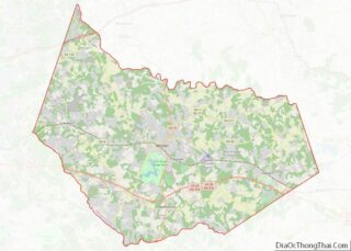
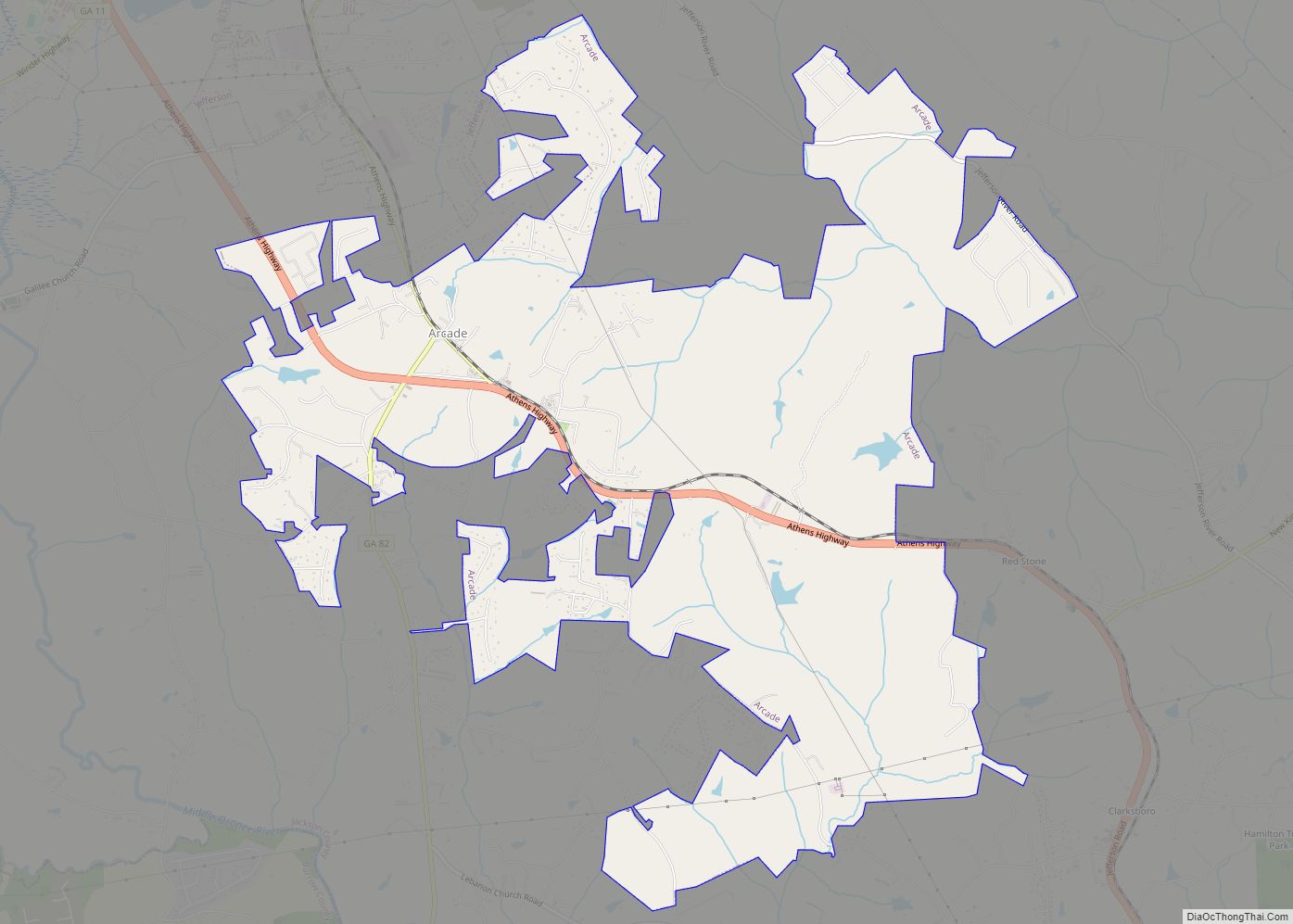
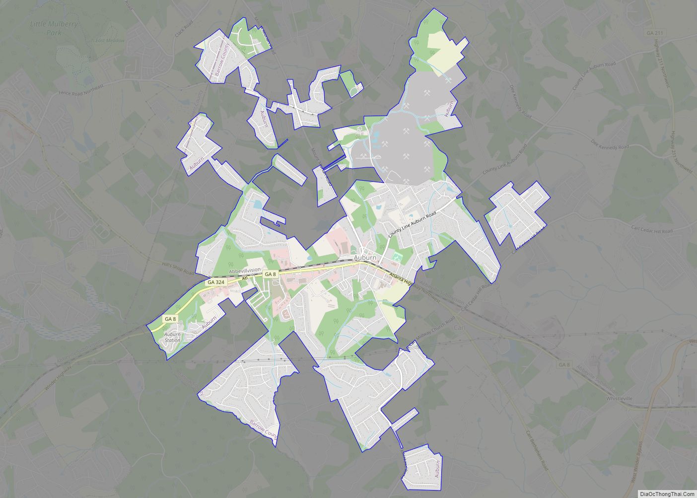
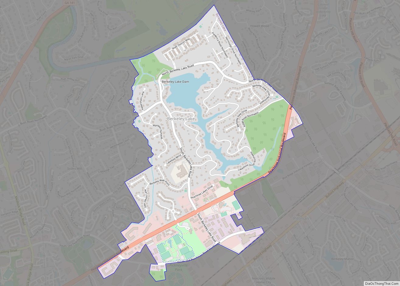
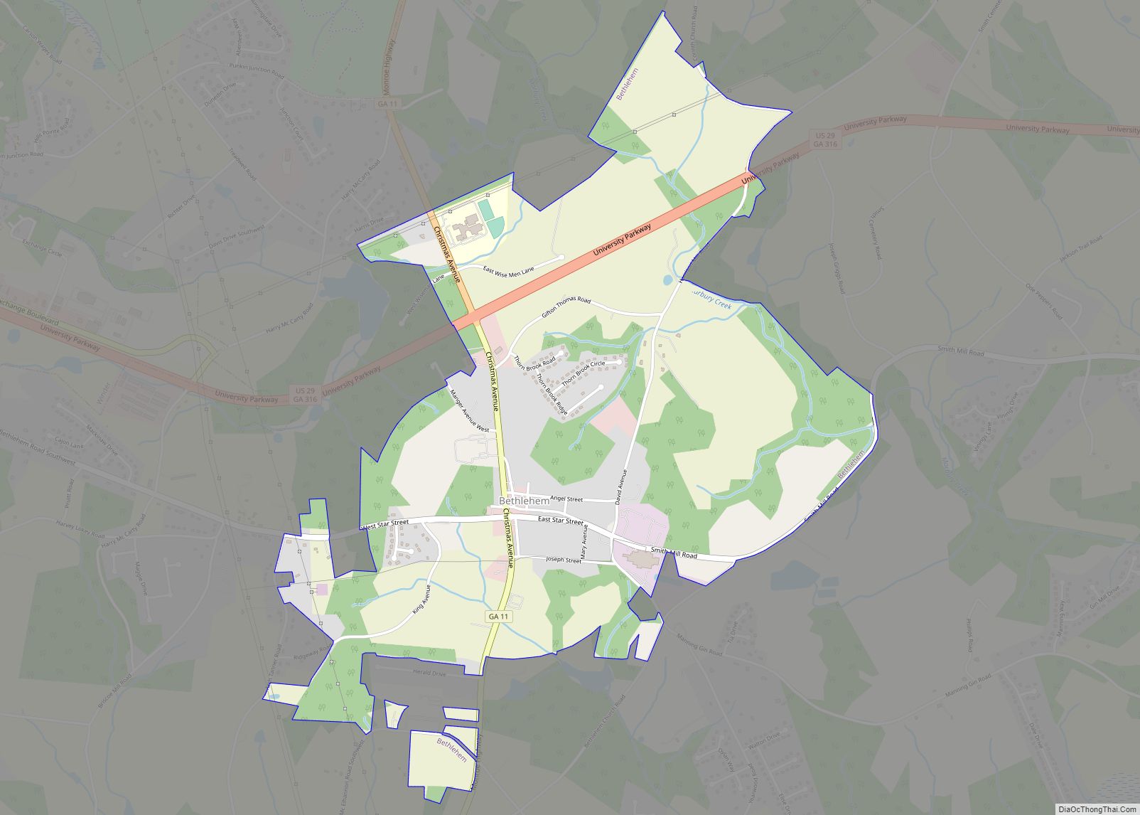
Online Interactive Map
Click on ![]() to view map in "full screen" mode.
to view map in "full screen" mode.
Braselton location map. Where is Braselton town?
History
The first permanent settlement at Braselton was made in 1884. The town is named after Harrison Braselton, a poor dirt farmer who married Susan Hosch, the daughter of a rich plantation owner. Braselton built a home on 786 acres (318 ha) of land he purchased north of the Hosch Plantation. The land he purchased was later called Braselton. The Georgia General Assembly incorporated Braselton as a town in 1916.
In 1989 actress and Georgia native Kim Basinger and other investors bought 1,751 acres (709 ha) of the town’s 2,000 privately owned acres for $20 million from Braselton Brothers Inc, intending to turn it into a tourist destination. Five years later, facing personal bankruptcy, she and her partners sold the land for $1 million.
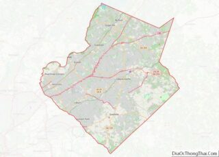
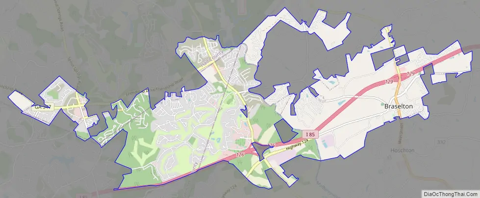
Braselton Road Map
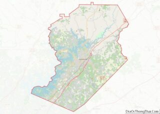
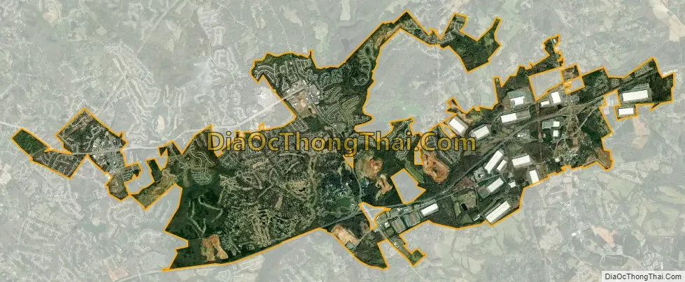
Braselton city Satellite Map
Geography
Braselton is located at 34°06′33″N 83°45′46″W / 34.10917°N 83.76278°W / 34.10917; -83.76278 (34.109167, -83.762778).
According to the United States Census Bureau, the town has a total area of 12.5 square miles (32.4 km), of which 12.4 square miles (32.2 km) is land and 0.12 square miles (0.3 km), or 0.79%, is water. Braselton has seen its growth from 7.20 square miles (18.6 km) to its current size from annexations into surrounding areas.
Braselton borders the mailing addresses (not city limits) of Gainesville (Candler), Flowery Branch, Oakwood (Chestnut Mountain side), and Pendergrass.
The town borders the city limits and shares a ZIP code with Hoschton.
The Road Atlanta race track has a Braselton address, but is located just north of the town itself.
See also
Map of Georgia State and its subdivision:- Appling
- Atkinson
- Bacon
- Baker
- Baldwin
- Banks
- Barrow
- Bartow
- Ben Hill
- Berrien
- Bibb
- Bleckley
- Brantley
- Brooks
- Bryan
- Bulloch
- Burke
- Butts
- Calhoun
- Camden
- Candler
- Carroll
- Catoosa
- Charlton
- Chatham
- Chattahoochee
- Chattooga
- Cherokee
- Clarke
- Clay
- Clayton
- Clinch
- Cobb
- Coffee
- Colquitt
- Columbia
- Cook
- Coweta
- Crawford
- Crisp
- Dade
- Dawson
- Decatur
- DeKalb
- Dodge
- Dooly
- Dougherty
- Douglas
- Early
- Echols
- Effingham
- Elbert
- Emanuel
- Evans
- Fannin
- Fayette
- Floyd
- Forsyth
- Franklin
- Fulton
- Gilmer
- Glascock
- Glynn
- Gordon
- Grady
- Greene
- Gwinnett
- Habersham
- Hall
- Hancock
- Haralson
- Harris
- Hart
- Heard
- Henry
- Houston
- Irwin
- Jackson
- Jasper
- Jeff Davis
- Jefferson
- Jenkins
- Johnson
- Jones
- Lamar
- Lanier
- Laurens
- Lee
- Liberty
- Lincoln
- Long
- Lowndes
- Lumpkin
- Macon
- Madison
- Marion
- McDuffie
- McIntosh
- Meriwether
- Miller
- Mitchell
- Monroe
- Montgomery
- Morgan
- Murray
- Muscogee
- Newton
- Oconee
- Oglethorpe
- Paulding
- Peach
- Pickens
- Pierce
- Pike
- Polk
- Pulaski
- Putnam
- Quitman
- Rabun
- Randolph
- Richmond
- Rockdale
- Schley
- Screven
- Seminole
- Spalding
- Stephens
- Stewart
- Sumter
- Talbot
- Taliaferro
- Tattnall
- Taylor
- Telfair
- Terrell
- Thomas
- Tift
- Toombs
- Towns
- Treutlen
- Troup
- Turner
- Twiggs
- Union
- Upson
- Walker
- Walton
- Ware
- Warren
- Washington
- Wayne
- Webster
- Wheeler
- White
- Whitfield
- Wilcox
- Wilkes
- Wilkinson
- Worth
- Alabama
- Alaska
- Arizona
- Arkansas
- California
- Colorado
- Connecticut
- Delaware
- District of Columbia
- Florida
- Georgia
- Hawaii
- Idaho
- Illinois
- Indiana
- Iowa
- Kansas
- Kentucky
- Louisiana
- Maine
- Maryland
- Massachusetts
- Michigan
- Minnesota
- Mississippi
- Missouri
- Montana
- Nebraska
- Nevada
- New Hampshire
- New Jersey
- New Mexico
- New York
- North Carolina
- North Dakota
- Ohio
- Oklahoma
- Oregon
- Pennsylvania
- Rhode Island
- South Carolina
- South Dakota
- Tennessee
- Texas
- Utah
- Vermont
- Virginia
- Washington
- West Virginia
- Wisconsin
- Wyoming