Powder Springs is a city in Cobb County, Georgia, United States. The population was 13,940 at the 2010 census, with an estimated population for 2019 of 15,758. In 2015, the city elected its first black mayor, Al Thurman. He was the first African-American to be elected as a mayor in Cobb County, but was one of several elected in small towns in Georgia in 2015. The 12,000-capacity Walter H. Cantrell Stadium is located in Powder Springs. It is used mostly for football and soccer matches.
| Name: | Powder Springs city |
|---|---|
| LSAD Code: | 25 |
| LSAD Description: | city (suffix) |
| State: | Georgia |
| County: | Cobb County |
| Elevation: | 945 ft (288 m) |
| Total Area: | 7.44 sq mi (19.26 km²) |
| Land Area: | 7.43 sq mi (19.23 km²) |
| Water Area: | 0.01 sq mi (0.03 km²) |
| Total Population: | 16,887 |
| Population Density: | 2,274.04/sq mi (878.03/km²) |
| ZIP code: | 30127 |
| Area code: | 770/678/470 |
| FIPS code: | 1362524 |
| GNISfeature ID: | 0356480 |
| Website: | www.cityofpowdersprings.org |
Online Interactive Map
Click on ![]() to view map in "full screen" mode.
to view map in "full screen" mode.
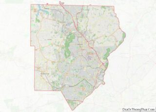
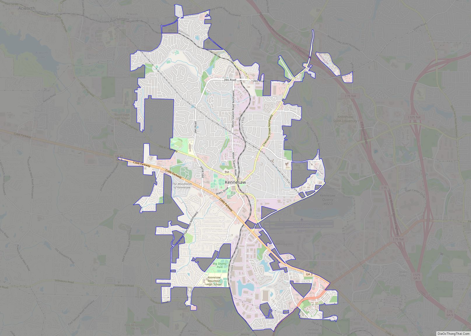
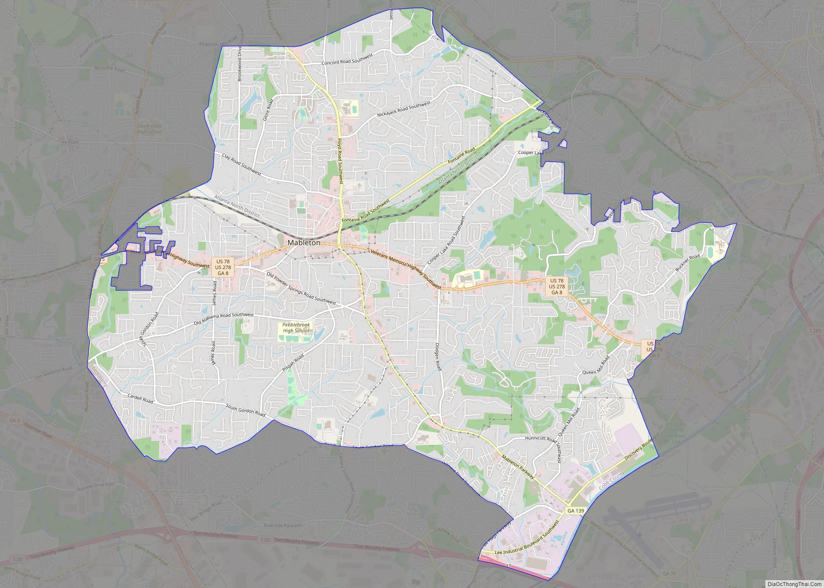
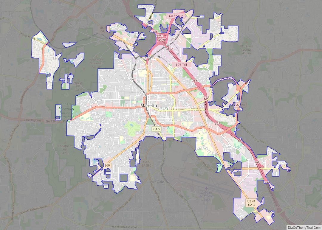
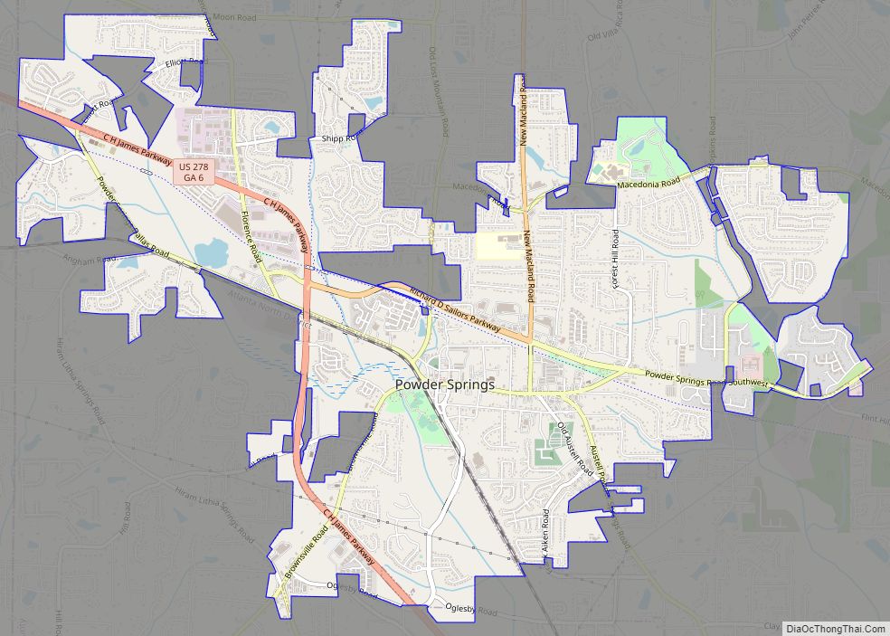
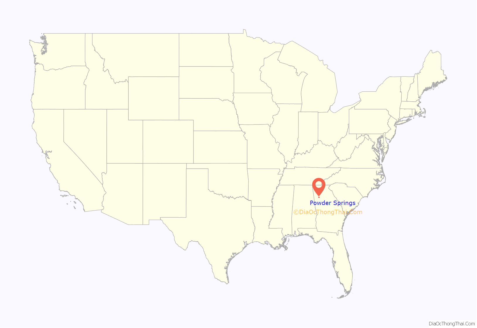
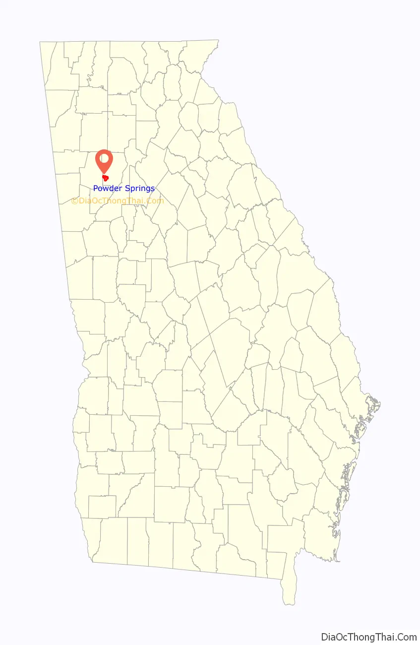
Powder Springs location map. Where is Powder Springs city?
History
The town of Powder Springs was incorporated as Springville in 1838 in the lands of two Cherokee leaders. Gold had been discovered in Georgia ten years earlier, and the first European-American settlers came to find gold. The settlers found little gold in the mines at Lost Mountain and off Brownsville Road. It was at about this time that the Cherokee people were forced off their land and removed to Indian Territory west of the Mississippi River on the Trail of Tears.
Springville was renamed Powder Springs in 1859. The name was derived from the seven springs in the city limits. The water in these springs contains some 26 minerals that turn the surrounding sand black like gunpowder – hence the earlier name of Gunpowder Springs.
Civil War history includes a skirmish at Lattermore’s Mills on June 20, 1864, that was a part of the Battle of Kennesaw Mountain and General Sherman’s Atlanta Campaign. Many slaves escaped the plantations in this area to join Sherman’s forces and gain freedom.
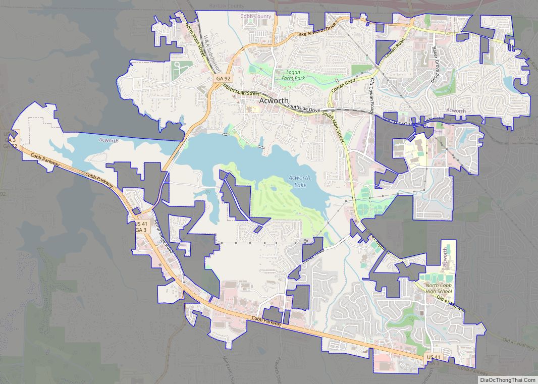
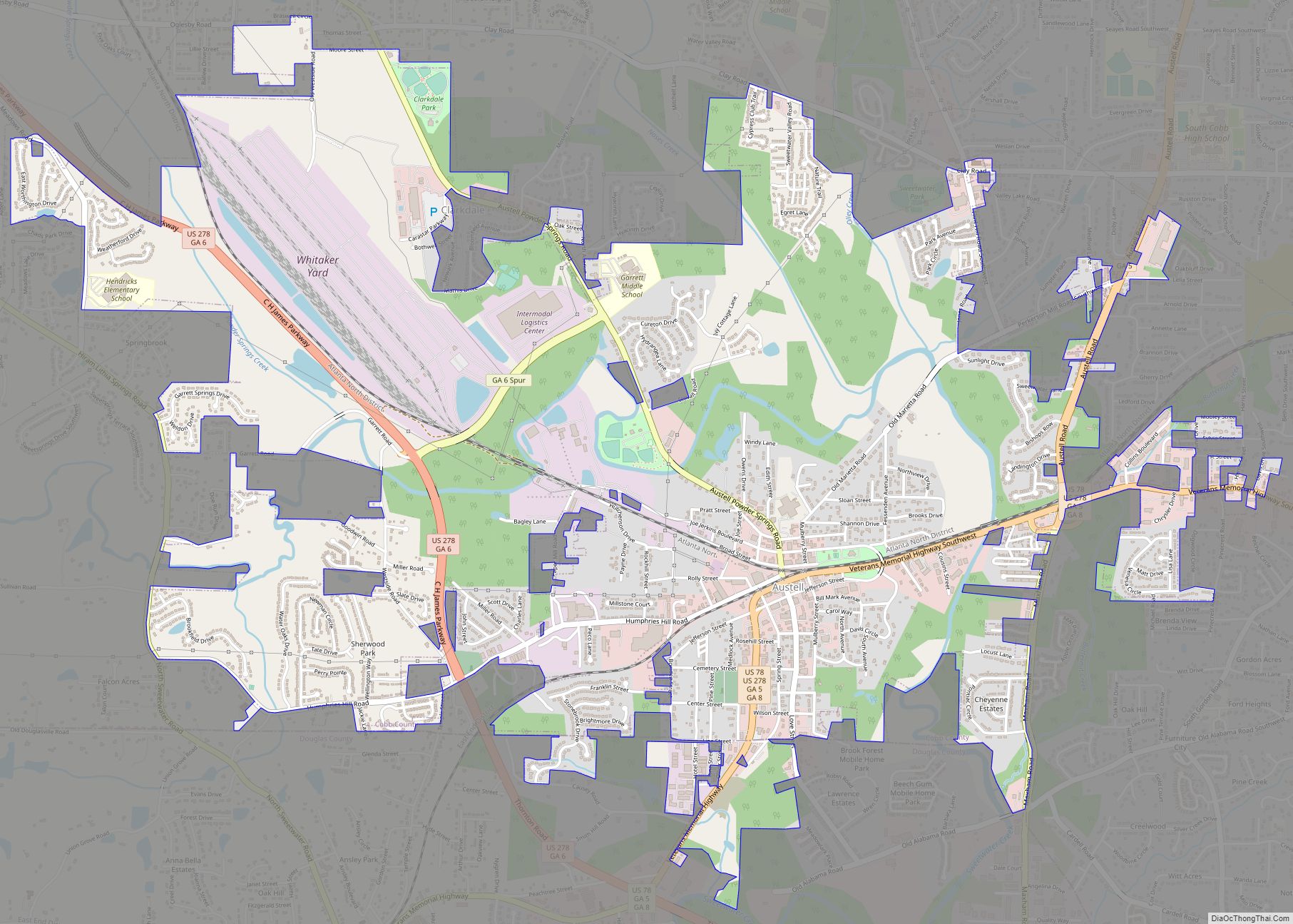
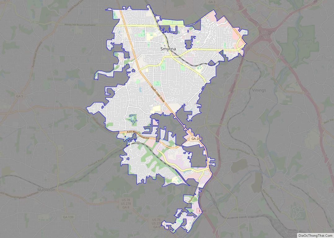
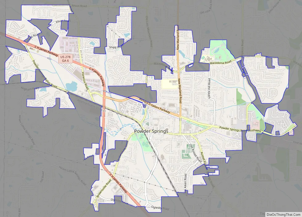
Powder Springs Road Map
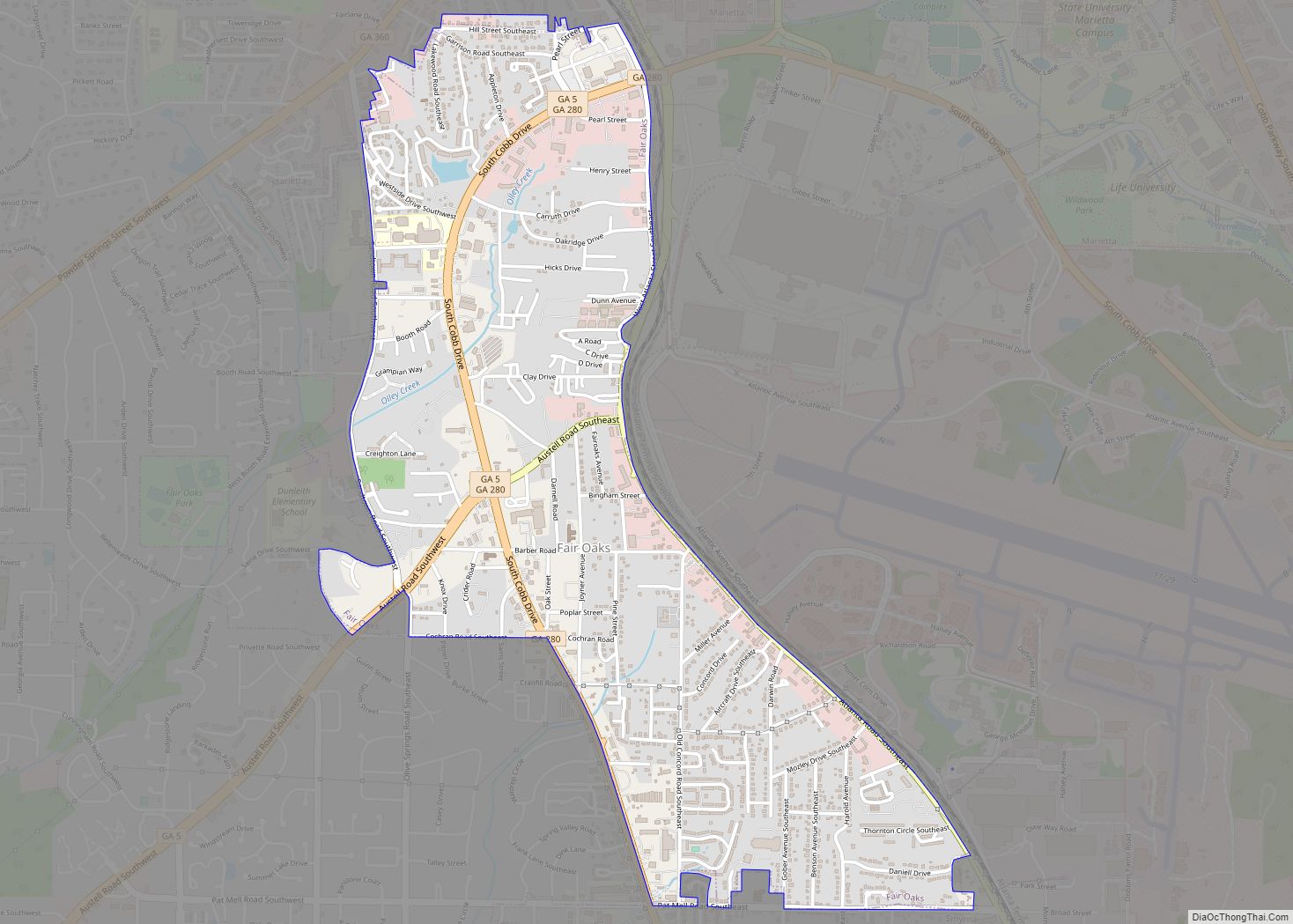
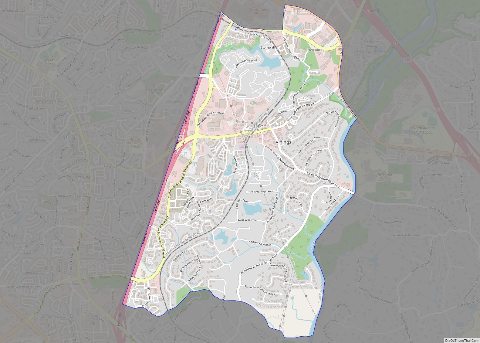
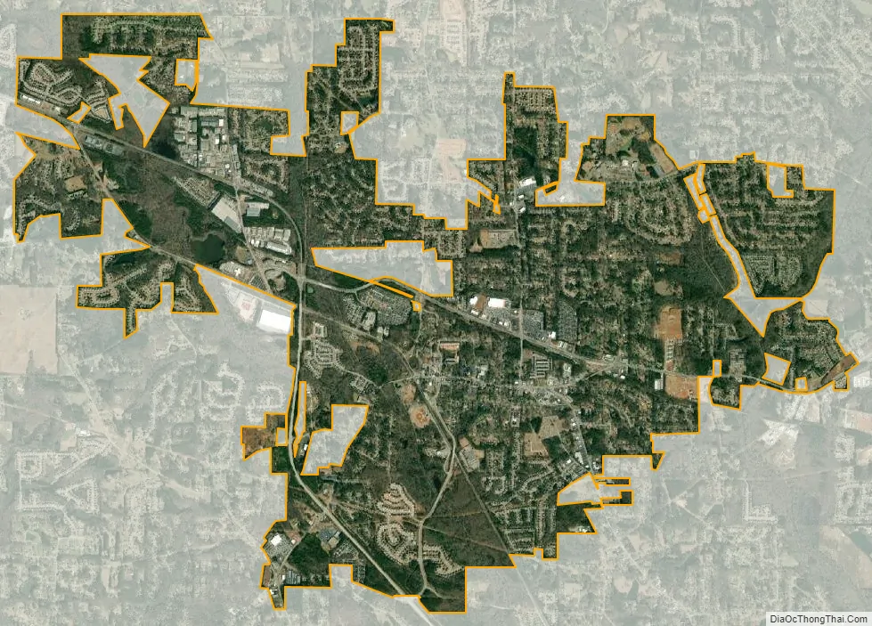
Powder Springs city Satellite Map
Geography
Powder Springs is located in southwestern Cobb County at 33°51′57″N 84°40′49″W / 33.86583°N 84.68028°W / 33.86583; -84.68028 (33.865933, -84.680349). U.S. Route 278 (C. H. James Parkway) passes through the city west of its center, leading 5 miles (8 km) southeast to Austell and 11 miles (18 km) northwest to Dallas. Downtown Atlanta is 22 miles (35 km) to the east via US 278 and Interstate 20.
According to the United States Census Bureau, Powder Springs has a total area of 7.2 square miles (18.6 km), of which 0.01 square miles (0.03 km), or 0.17%, is water.
See also
Map of Georgia State and its subdivision:- Appling
- Atkinson
- Bacon
- Baker
- Baldwin
- Banks
- Barrow
- Bartow
- Ben Hill
- Berrien
- Bibb
- Bleckley
- Brantley
- Brooks
- Bryan
- Bulloch
- Burke
- Butts
- Calhoun
- Camden
- Candler
- Carroll
- Catoosa
- Charlton
- Chatham
- Chattahoochee
- Chattooga
- Cherokee
- Clarke
- Clay
- Clayton
- Clinch
- Cobb
- Coffee
- Colquitt
- Columbia
- Cook
- Coweta
- Crawford
- Crisp
- Dade
- Dawson
- Decatur
- DeKalb
- Dodge
- Dooly
- Dougherty
- Douglas
- Early
- Echols
- Effingham
- Elbert
- Emanuel
- Evans
- Fannin
- Fayette
- Floyd
- Forsyth
- Franklin
- Fulton
- Gilmer
- Glascock
- Glynn
- Gordon
- Grady
- Greene
- Gwinnett
- Habersham
- Hall
- Hancock
- Haralson
- Harris
- Hart
- Heard
- Henry
- Houston
- Irwin
- Jackson
- Jasper
- Jeff Davis
- Jefferson
- Jenkins
- Johnson
- Jones
- Lamar
- Lanier
- Laurens
- Lee
- Liberty
- Lincoln
- Long
- Lowndes
- Lumpkin
- Macon
- Madison
- Marion
- McDuffie
- McIntosh
- Meriwether
- Miller
- Mitchell
- Monroe
- Montgomery
- Morgan
- Murray
- Muscogee
- Newton
- Oconee
- Oglethorpe
- Paulding
- Peach
- Pickens
- Pierce
- Pike
- Polk
- Pulaski
- Putnam
- Quitman
- Rabun
- Randolph
- Richmond
- Rockdale
- Schley
- Screven
- Seminole
- Spalding
- Stephens
- Stewart
- Sumter
- Talbot
- Taliaferro
- Tattnall
- Taylor
- Telfair
- Terrell
- Thomas
- Tift
- Toombs
- Towns
- Treutlen
- Troup
- Turner
- Twiggs
- Union
- Upson
- Walker
- Walton
- Ware
- Warren
- Washington
- Wayne
- Webster
- Wheeler
- White
- Whitfield
- Wilcox
- Wilkes
- Wilkinson
- Worth
- Alabama
- Alaska
- Arizona
- Arkansas
- California
- Colorado
- Connecticut
- Delaware
- District of Columbia
- Florida
- Georgia
- Hawaii
- Idaho
- Illinois
- Indiana
- Iowa
- Kansas
- Kentucky
- Louisiana
- Maine
- Maryland
- Massachusetts
- Michigan
- Minnesota
- Mississippi
- Missouri
- Montana
- Nebraska
- Nevada
- New Hampshire
- New Jersey
- New Mexico
- New York
- North Carolina
- North Dakota
- Ohio
- Oklahoma
- Oregon
- Pennsylvania
- Rhode Island
- South Carolina
- South Dakota
- Tennessee
- Texas
- Utah
- Vermont
- Virginia
- Washington
- West Virginia
- Wisconsin
- Wyoming