LaGrange is a city in and the county seat of Troup County, Georgia, United States. The population of the city was estimated to be 30,858 in 2020 by the U.S. Census Bureau. It is the principal city of the LaGrange, Georgia Micropolitan Statistical Area, which is included in the Atlanta–Sandy Springs–Gainesville, Georgia–Alabama (part) Combined Statistical Area. It is about 60 miles (97 km) southwest of Atlanta and located in the foothills of the Georgia Piedmont.
LaGrange is home to LaGrange College, the oldest private college in the state. Started as a girls’ academy, it has been affiliated since the late 19th century with the Methodist Church, and what is now the North Georgia Conference of the United Methodist Church. The city’s proximity to West Point Lake, a few miles to the west, helps attract bass fishermen and water sports enthusiasts to the city.
It is the hometown of rapper and songwriter Bubba Sparxxx, best known for his hip hop and country rap.
The Troup County Courthouse, Annex, and Jail, built in 1939, is one of LaGrange’s properties that is listed on the National Register of Historic Places.
| Name: | LaGrange city |
|---|---|
| LSAD Code: | 25 |
| LSAD Description: | city (suffix) |
| State: | Georgia |
| County: | Troup County |
| Elevation: | 781 ft (238 m) |
| Total Area: | 42.98 sq mi (111.31 km²) |
| Land Area: | 42.14 sq mi (109.15 km²) |
| Water Area: | 0.84 sq mi (2.16 km²) |
| Total Population: | 30,858 |
| Population Density: | 732.22/sq mi (282.71/km²) |
| ZIP code: | 30240, 30241, 30261 |
| Area code: | 706 |
| FIPS code: | 1344340 |
| GNISfeature ID: | 0316522 |
| Website: | LaGrange-GA.org |
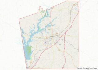
Online Interactive Map
Click on ![]() to view map in "full screen" mode.
to view map in "full screen" mode.
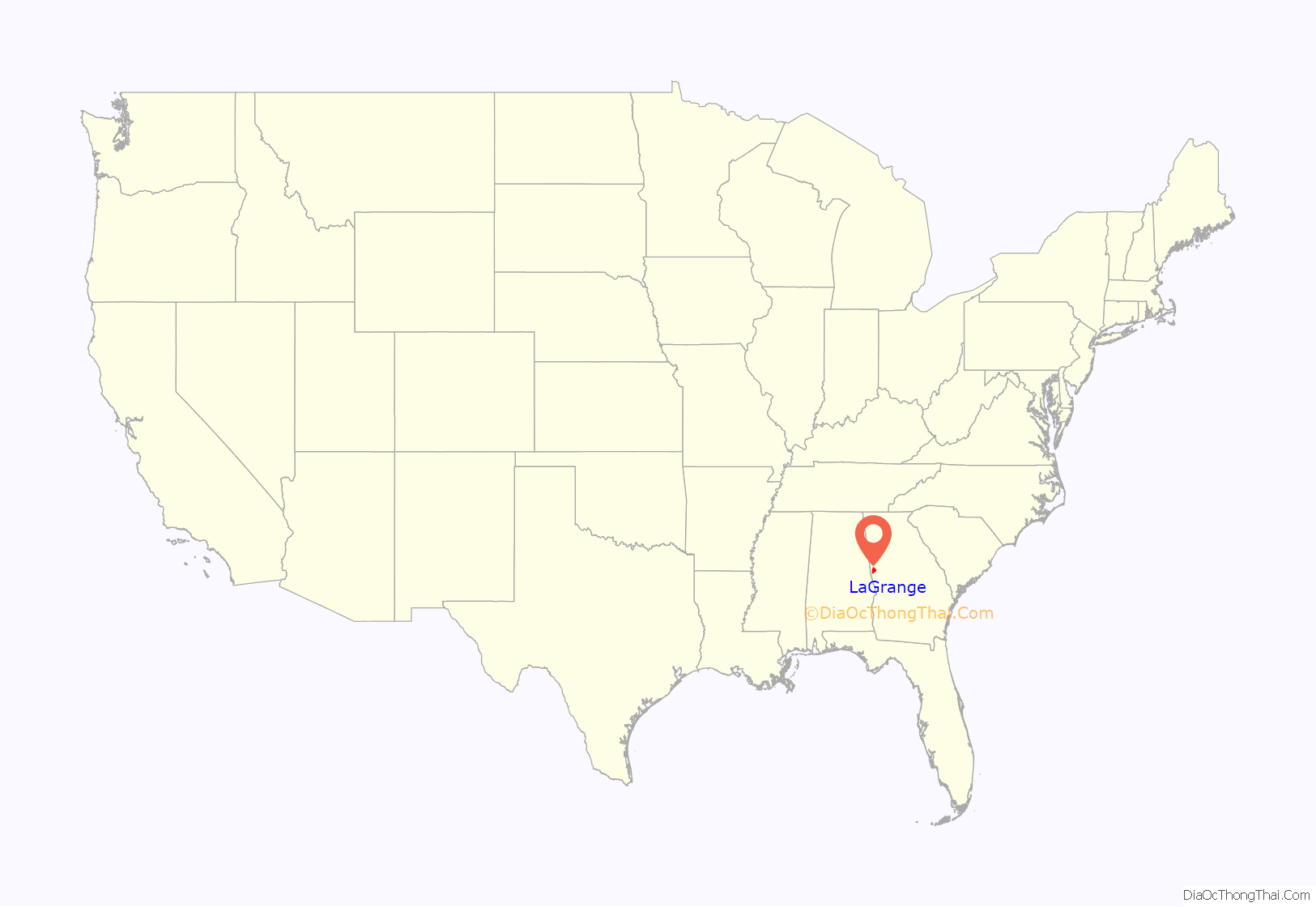
LaGrange location map. Where is LaGrange city?
History
LaGrange is named after the country estate near Paris of the wife of the Marquis de La Fayette. When La Fayette, a Revolutionary War hero, visited Georgia in 1825 on a national tour, he remarked on the similarity of local topography to his wife’s property.
The European-American settlement of LaGrange began in the early 19th century, soon after the territory was ceded to the United States by the Creek Indians and the territorial legislature established Troup County. The city was incorporated in December 1828. The area was developed for cotton plantations, and planters migrating from the eastern areas of the South brought along or bought enslaved African Americans in the domestic slave trade to use as laborers.
By 1860 Troup County had become the fourth-wealthiest county in Georgia, based on cotton as a commodity crop. It was the fifth-largest slaveholding county in the state. As the county seat, LaGrange was a center of trade for this prosperous area, and wealthy planters built more than 100 significant homes in the city.
During the American Civil War, LaGrange was defended by a volunteer women’s auxiliary group known as the Nancy Harts or Nancy Hart Rifles, named after Nancy Hart. After defeating the Confederates in nearby West Point, Georgia, Colonel Oscar H. La Grange led his Union troops to the county seat of LaGrange. He placed Confederate prisoners near the front of the column. The Nancy Harts negotiated a surrender with the colonel.
Although local assets were burned and looted by Union troops, Colonel La Grange spared the private homes of LaGrange, including Bellevue, the home of former US Senator and then Confederate senator Benjamin Harvey Hill, a slave owner. La Grange may have been returning positive treatment which he had earlier received while in captivity. He had been given medical care by Confederates and was attended by a niece of Senator Hill. After recovery, Col. La Grange was exchanged for a Confederate prisoner, and he returned to battle duty.
To show their gratitude for his sparing their homes, one of the Nancy Harts hosted a dinner for Col. La Grange. He paroled some local prisoners so they could attend. Many women of the town cooked all night to provide the meal. The next morning the Federal troops marched out, taking various men of the town as prisoners of war. They were soon released, when it was learned that General Robert E. Lee had surrendered at Appomattox.
20th century to present
In the late 19th century, LaGrange developed as a railroad center and as an industrial center. Textile mills were developed here and elsewhere in the upland region. Initially they employed only white workers. They increased in regional, state and national economic importance into the mid-20th century. Gradually in the late 20th century, much textile manufacturing moved “offshore,” out of the United States.
The city has transitioned to a mixed economy with some new industries. Interstates 85 and 185 pass through LaGrange, which is a transportation hub in the area. The city has industrial and commercial access, and a Wal-Mart Distribution Center was developed here.
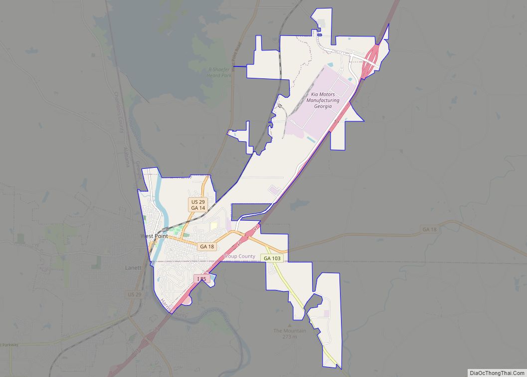
Interface, the world’s leading manufacturer of carpet tile, was founded in LaGrange in 1973. It has its largest manufacturing center here. LaGrange is also the North American headquarters for Caterpillar’s forestry division. Just south of LaGrange in neighboring West Point, also in Troup County, KIA Motors has its only US assembly plant. Many of Kia’s suppliers are located in LaGrange.
The city of LaGrange is a full-service utility provider for the region, including electricity, natural gas, water, sewer, refuse collection, and telecommunication. In 2000 the city was named “Intelligent Community of the Year” by the Intelligent Community Forum, joining other cities such as New York, Singapore, Seoul, Glasgow and Toronto. Since 2000 the city has provided free Internet service to every household. It also has been ranked as a Georgia City of Excellence, and received a Government Technology Leadership Award.
LaGrange was in the news in late January 2017 for the public apology of its police chief and mayor for the city’s failure in 1940 to protect Austin Callaway, a 16-year-old African-American resident, from being lynched. The police did not report nor investigate his murder very thoroughly.
On November 8, 2021, it was announced that Upstate New York-based firearms manufacturer, Remington Arms, would be moving their global headquarters from Ilion, New York to La Grange, and would be hiring 865 people over the span of five years. Construction is expected to cost $100 million.
The southern half of the city was heavily damaged by an EF2 tornado on January 12, 2023. The tornado injured four people along its path as well.
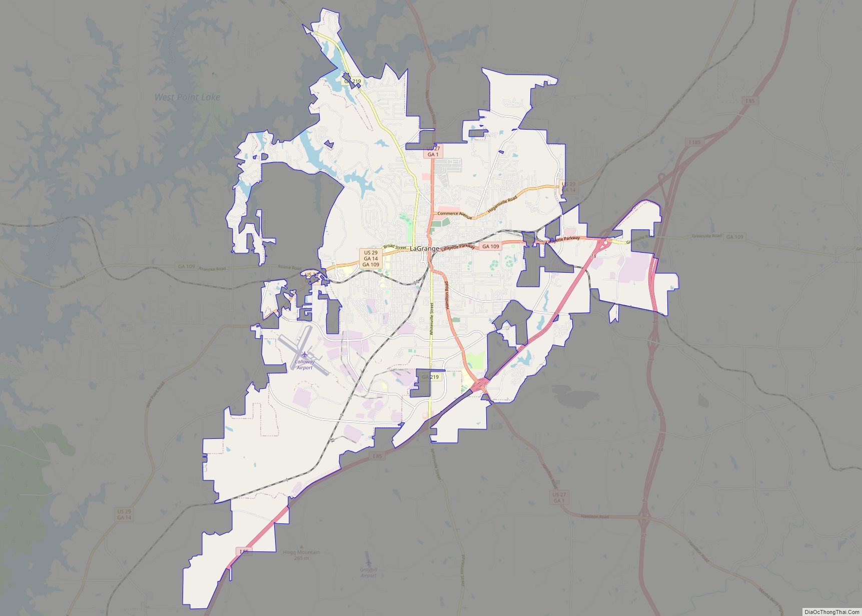
LaGrange Road Map
LaGrange city Satellite Map
Geography
LaGrange is at 33.0367° N, 85.0319° W. The city is in west central Georgia along Interstates 85 and 185, which run east of the city, with Interstate 85 leading northeast 68 mi (109 km) to Atlanta and southwest 96 mi (154 km) to Montgomery, Alabama. Interstate 85 gives direct access to the city from exits 13, 14 and 18. Interstate 185 runs south from the city 43 mi (69 km) to Columbus. U.S. Route 27, U.S. Route 29, Georgia State Route 219, and Georgia State Route 109 all meet in the interior of the city. According to the U.S. Census Bureau, the city has an area of 112.8 mi (181.5 km), of which 111.4 mi (179.3 km) is land and 1.4 mi (2.3 km) is water.
See also
Map of Georgia State and its subdivision:- Appling
- Atkinson
- Bacon
- Baker
- Baldwin
- Banks
- Barrow
- Bartow
- Ben Hill
- Berrien
- Bibb
- Bleckley
- Brantley
- Brooks
- Bryan
- Bulloch
- Burke
- Butts
- Calhoun
- Camden
- Candler
- Carroll
- Catoosa
- Charlton
- Chatham
- Chattahoochee
- Chattooga
- Cherokee
- Clarke
- Clay
- Clayton
- Clinch
- Cobb
- Coffee
- Colquitt
- Columbia
- Cook
- Coweta
- Crawford
- Crisp
- Dade
- Dawson
- Decatur
- DeKalb
- Dodge
- Dooly
- Dougherty
- Douglas
- Early
- Echols
- Effingham
- Elbert
- Emanuel
- Evans
- Fannin
- Fayette
- Floyd
- Forsyth
- Franklin
- Fulton
- Gilmer
- Glascock
- Glynn
- Gordon
- Grady
- Greene
- Gwinnett
- Habersham
- Hall
- Hancock
- Haralson
- Harris
- Hart
- Heard
- Henry
- Houston
- Irwin
- Jackson
- Jasper
- Jeff Davis
- Jefferson
- Jenkins
- Johnson
- Jones
- Lamar
- Lanier
- Laurens
- Lee
- Liberty
- Lincoln
- Long
- Lowndes
- Lumpkin
- Macon
- Madison
- Marion
- McDuffie
- McIntosh
- Meriwether
- Miller
- Mitchell
- Monroe
- Montgomery
- Morgan
- Murray
- Muscogee
- Newton
- Oconee
- Oglethorpe
- Paulding
- Peach
- Pickens
- Pierce
- Pike
- Polk
- Pulaski
- Putnam
- Quitman
- Rabun
- Randolph
- Richmond
- Rockdale
- Schley
- Screven
- Seminole
- Spalding
- Stephens
- Stewart
- Sumter
- Talbot
- Taliaferro
- Tattnall
- Taylor
- Telfair
- Terrell
- Thomas
- Tift
- Toombs
- Towns
- Treutlen
- Troup
- Turner
- Twiggs
- Union
- Upson
- Walker
- Walton
- Ware
- Warren
- Washington
- Wayne
- Webster
- Wheeler
- White
- Whitfield
- Wilcox
- Wilkes
- Wilkinson
- Worth
- Alabama
- Alaska
- Arizona
- Arkansas
- California
- Colorado
- Connecticut
- Delaware
- District of Columbia
- Florida
- Georgia
- Hawaii
- Idaho
- Illinois
- Indiana
- Iowa
- Kansas
- Kentucky
- Louisiana
- Maine
- Maryland
- Massachusetts
- Michigan
- Minnesota
- Mississippi
- Missouri
- Montana
- Nebraska
- Nevada
- New Hampshire
- New Jersey
- New Mexico
- New York
- North Carolina
- North Dakota
- Ohio
- Oklahoma
- Oregon
- Pennsylvania
- Rhode Island
- South Carolina
- South Dakota
- Tennessee
- Texas
- Utah
- Vermont
- Virginia
- Washington
- West Virginia
- Wisconsin
- Wyoming
