Scottdale is a census-designated place (CDP) in DeKalb County, Georgia, United States. The population was 10,631 at the 2010 census.
| Name: | Scottdale CDP |
|---|---|
| LSAD Code: | 57 |
| LSAD Description: | CDP (suffix) |
| State: | Georgia |
| County: | DeKalb County |
| Elevation: | 1,030 ft (314 m) |
| Total Area: | 3.33 sq mi (8.64 km²) |
| Land Area: | 3.33 sq mi (8.62 km²) |
| Water Area: | 0.01 sq mi (0.02 km²) |
| Total Population: | 10,698 |
| Population Density: | 3,215.51/sq mi (1,241.53/km²) |
| ZIP code: | 30079 |
| Area code: | 404 |
| FIPS code: | 1369392 |
| GNISfeature ID: | 0332993 |
Online Interactive Map
Click on ![]() to view map in "full screen" mode.
to view map in "full screen" mode.
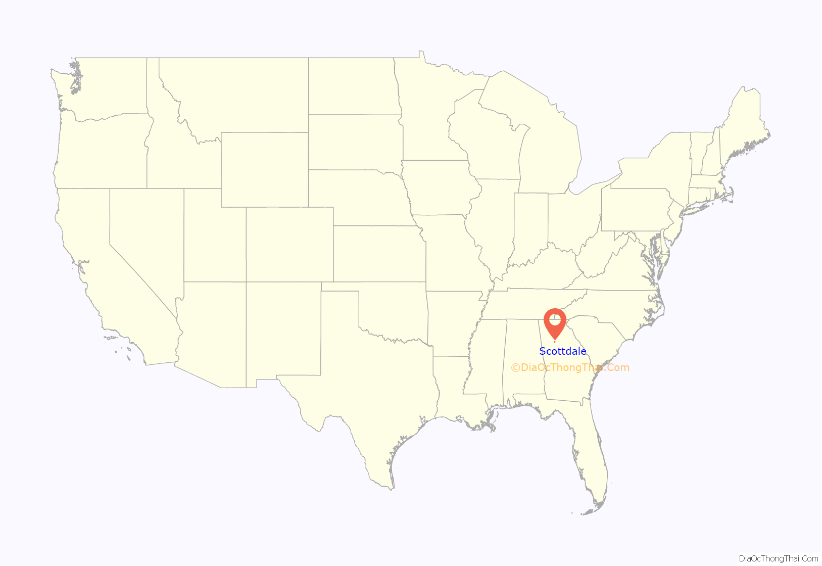
Scottdale location map. Where is Scottdale CDP?
History
Scottdale is named for Colonel George Washington Scott, who founded the Scottdale Cotton Mill in the late 1800s. Colonel Scott arrived in DeKalb County from Florida, where he had previously owned a plantation, served in the Confederate Army, and unsuccessfully run for governor. Col. Scott was also a benefactor of the female seminary that became Agnes Scott College.
The Scottdale Cotton Mill development included the mill and nearby housing for workers. From the 1920s through the 1940s, Scottdale Manufacturing Company even supported a baseball team. The mill shut down in 1982, and workers found jobs elsewhere in metro Atlanta. Philanthropist Tobie Grant donated several acres of property to disenfranchised, unemployed African-Americans and created a community known as Tobie Grant. This community continues to house low-income African Americans. Oak Forest Apartments was also opened under this theme in 1968.
The commercial district in Scottdale is focused on East Ponce de Leon Avenue, which bisects the community from the southwest to the northeast. Your DeKalb Farmers Market and antique shops are located on this road, along with several auto body shops and industrial buildings. Steel LLC maintains a large steel fabrication and distribution facility in Scottdale, near the intersection of North Clarendon Avenue and East Ponce de Leon Avenue. Efforts to rehabilitate East Ponce de Leon Avenue commenced in 2007.
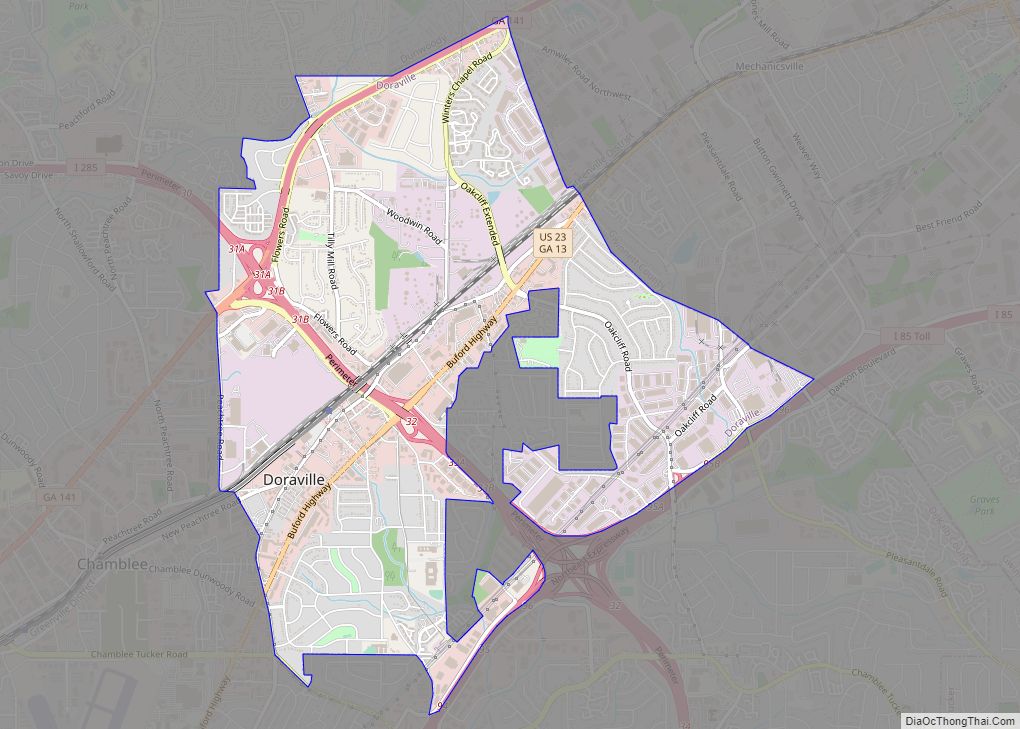
Scottdale Road Map
Scottdale city Satellite Map
Geography
Scottdale, aka SCD is located at 33°47′40″N 84°15′44″W / 33.79444°N 84.26222°W / 33.79444; -84.26222 (33.794337, -84.262110). The unincorporated community is centered on East Ponce de Leon Avenue, between Decatur and Clarkston. The northern boundary is Stone Mountain Freeway; the eastern boundary is Interstate 285; the western boundary is roughly DeKalb Industrial Way; and the southern boundary is roughly the city limits of Avondale Estates. The ZIP code for Scottdale is 30079.
According to the United States Census Bureau, the CDP has a total area of 3.5 square miles (9.1 km), all land.
See also
Map of Georgia State and its subdivision:- Appling
- Atkinson
- Bacon
- Baker
- Baldwin
- Banks
- Barrow
- Bartow
- Ben Hill
- Berrien
- Bibb
- Bleckley
- Brantley
- Brooks
- Bryan
- Bulloch
- Burke
- Butts
- Calhoun
- Camden
- Candler
- Carroll
- Catoosa
- Charlton
- Chatham
- Chattahoochee
- Chattooga
- Cherokee
- Clarke
- Clay
- Clayton
- Clinch
- Cobb
- Coffee
- Colquitt
- Columbia
- Cook
- Coweta
- Crawford
- Crisp
- Dade
- Dawson
- Decatur
- DeKalb
- Dodge
- Dooly
- Dougherty
- Douglas
- Early
- Echols
- Effingham
- Elbert
- Emanuel
- Evans
- Fannin
- Fayette
- Floyd
- Forsyth
- Franklin
- Fulton
- Gilmer
- Glascock
- Glynn
- Gordon
- Grady
- Greene
- Gwinnett
- Habersham
- Hall
- Hancock
- Haralson
- Harris
- Hart
- Heard
- Henry
- Houston
- Irwin
- Jackson
- Jasper
- Jeff Davis
- Jefferson
- Jenkins
- Johnson
- Jones
- Lamar
- Lanier
- Laurens
- Lee
- Liberty
- Lincoln
- Long
- Lowndes
- Lumpkin
- Macon
- Madison
- Marion
- McDuffie
- McIntosh
- Meriwether
- Miller
- Mitchell
- Monroe
- Montgomery
- Morgan
- Murray
- Muscogee
- Newton
- Oconee
- Oglethorpe
- Paulding
- Peach
- Pickens
- Pierce
- Pike
- Polk
- Pulaski
- Putnam
- Quitman
- Rabun
- Randolph
- Richmond
- Rockdale
- Schley
- Screven
- Seminole
- Spalding
- Stephens
- Stewart
- Sumter
- Talbot
- Taliaferro
- Tattnall
- Taylor
- Telfair
- Terrell
- Thomas
- Tift
- Toombs
- Towns
- Treutlen
- Troup
- Turner
- Twiggs
- Union
- Upson
- Walker
- Walton
- Ware
- Warren
- Washington
- Wayne
- Webster
- Wheeler
- White
- Whitfield
- Wilcox
- Wilkes
- Wilkinson
- Worth
- Alabama
- Alaska
- Arizona
- Arkansas
- California
- Colorado
- Connecticut
- Delaware
- District of Columbia
- Florida
- Georgia
- Hawaii
- Idaho
- Illinois
- Indiana
- Iowa
- Kansas
- Kentucky
- Louisiana
- Maine
- Maryland
- Massachusetts
- Michigan
- Minnesota
- Mississippi
- Missouri
- Montana
- Nebraska
- Nevada
- New Hampshire
- New Jersey
- New Mexico
- New York
- North Carolina
- North Dakota
- Ohio
- Oklahoma
- Oregon
- Pennsylvania
- Rhode Island
- South Carolina
- South Dakota
- Tennessee
- Texas
- Utah
- Vermont
- Virginia
- Washington
- West Virginia
- Wisconsin
- Wyoming


