Whitesburg is a town in Carroll County, Georgia, United States. The population was 588 at the 2010 census.
The McIntosh Reserve here is the former plantation of Chief William McIntosh, a prominent leader of the Lower Towns of the Creek Confederacy. He was executed at his home in 1825 on order of the National Council of the Creek Nation for having negotiated and signed the Treaty of Indian Springs that year, which ceded most of the Creek territory in Georgia and Alabama to the United States. The Creek National Council negotiated a new treaty with the United States the next year to gain a more favorable settlement, but most of the Creek were removed to Indian Territory in the 1820s and 1830s.
In the 21st century federally recognized tribes of the Creek include the Muscogee (Creek) Nation, Alabama-Quassarte Tribal Town, Kialegee Tribal Town, and Thlopthlocco Tribal Town of Oklahoma, the Coushatta Tribe of Louisiana, and the Alabama-Coushatta Tribe of Texas.
Acorn Creek, a tributary of the Chattahoochee River, originates just west of Whitesburg. It takes its name from Acorn Town, a Creek Indian settlement and plantation which stood near its mouth.
| Name: | Whitesburg city |
|---|---|
| LSAD Code: | 25 |
| LSAD Description: | city (suffix) |
| State: | Georgia |
| County: | Carroll County |
| Elevation: | 846 ft (258 m) |
| Total Area: | 2.80 sq mi (7.24 km²) |
| Land Area: | 2.77 sq mi (7.17 km²) |
| Water Area: | 0.03 sq mi (0.07 km²) |
| Total Population: | 596 |
| Population Density: | 215.24/sq mi (83.11/km²) |
| ZIP code: | 30185 |
| Area code: | 770 |
| FIPS code: | 1382720 |
| GNISfeature ID: | 0325222 |
| Website: | http://www.whitesburgcity.com |
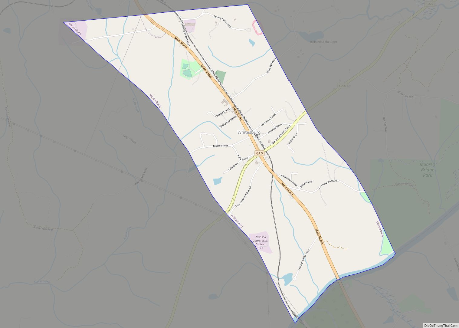
Online Interactive Map
Click on ![]() to view map in "full screen" mode.
to view map in "full screen" mode.
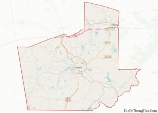
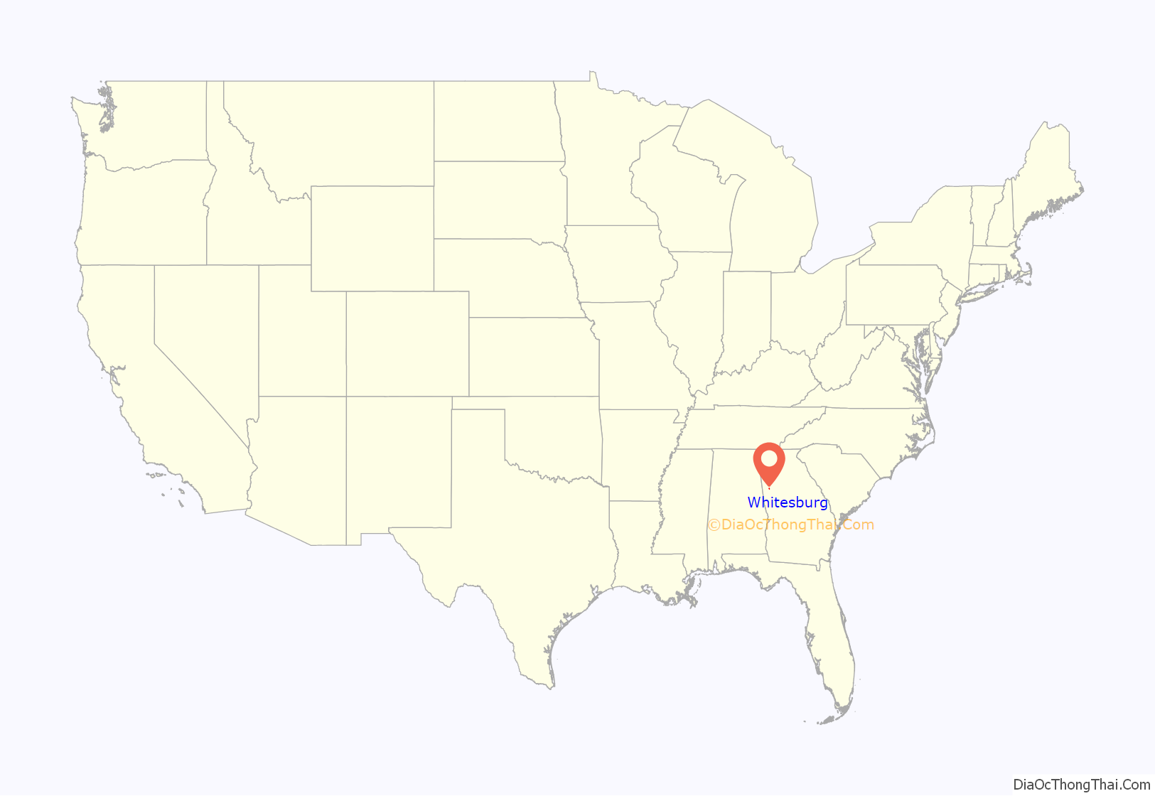
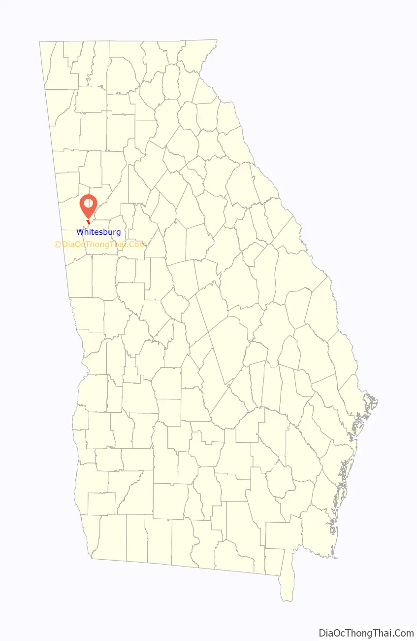
Whitesburg location map. Where is Whitesburg city?
History
This area was long occupied by indigenous peoples. In the historic period after European encounter, it was occupied by members of the Creek Confederacy, a loose grouping of related peoples, and was known as the area of the Lower Towns by the early nineteenth century. William McIntosh, a mixed-race leader of the Creek, established a modest house and plantation here. He was executed in 1825 on order of the Creek National Council for having negotiated and signed the 1825 Treaty of Indian Springs, which ceded all remaining lands in Georgia and Alabama to the United States. He had violated tribal law, the Code of 1818 that protected communal property.
After Creek removal, American settlers entered the area from the east. Many became subsistence farmers. Whitesburg was established by European-American settlers in 1873. The community was named after A.J. White, a railroad official. The Georgia General Assembly incorporated Whitesburg in 1874.
Whitesburg Road Map
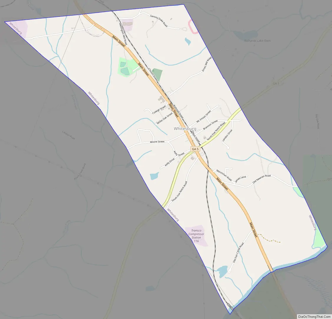
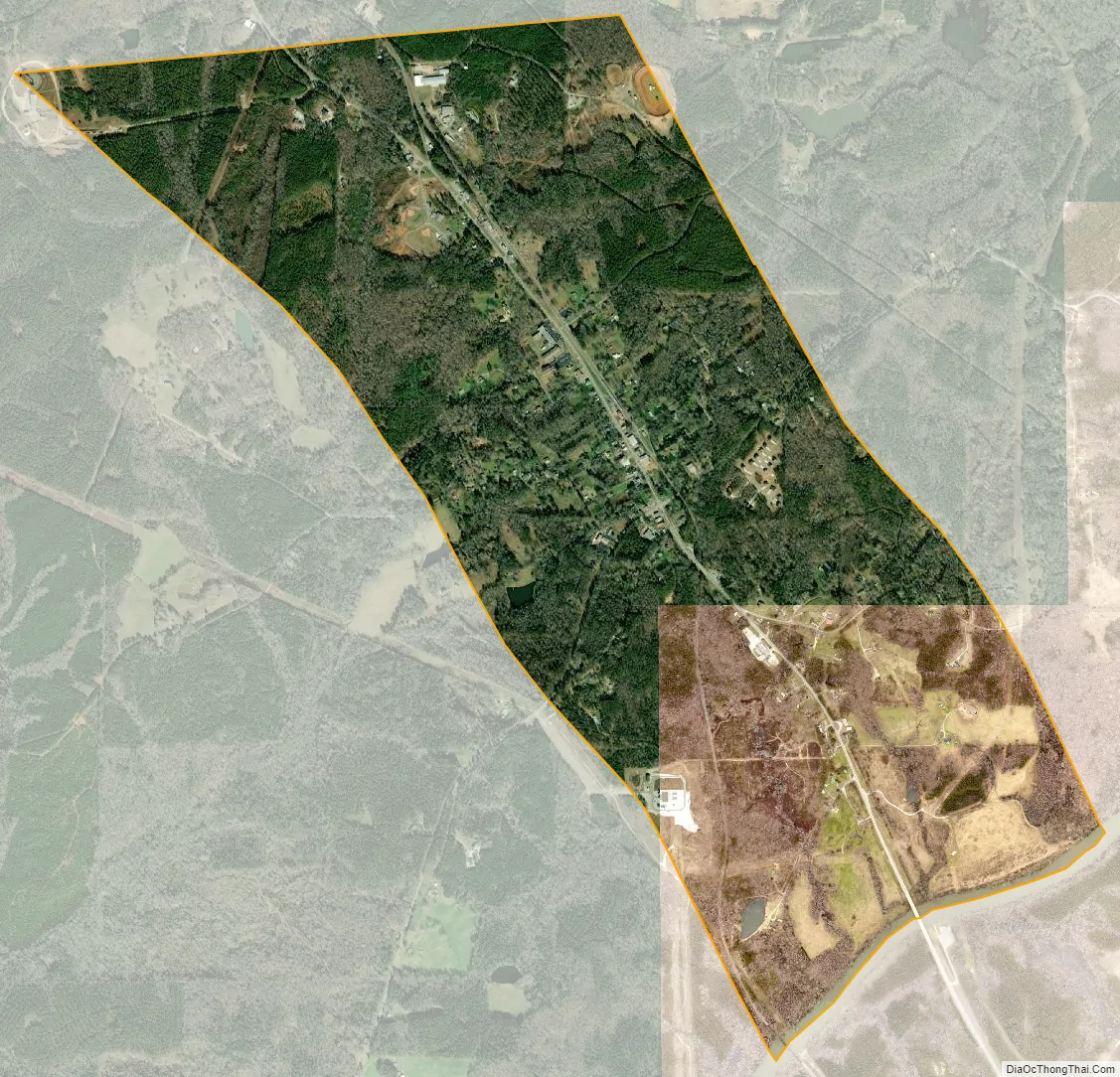
Whitesburg city Satellite Map
Geography
Whitesburg is located at 33°29′36″N 84°54′49″W / 33.49333°N 84.91361°W / 33.49333; -84.91361 (33.493434, -84.913492).
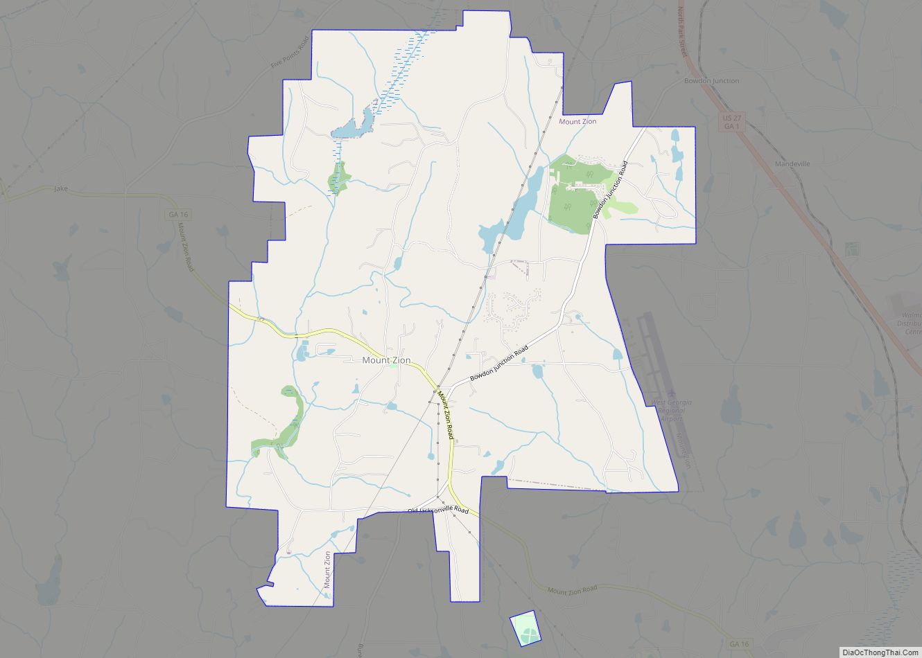
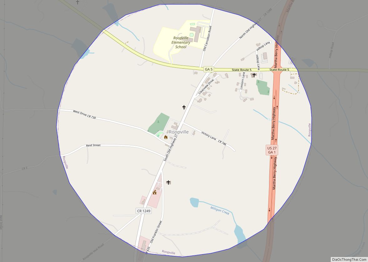
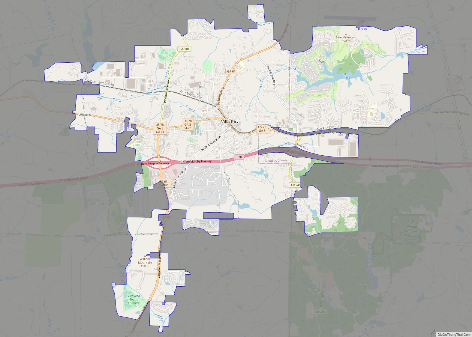
Whitesburg is located along the Chattahoochee River in southeastern Carroll County. U.S. Route 27 Alternate and Georgia State Route 5 are the main routes through the town. U.S. Route 27 Alternate runs from northwest to southeast through the town, leading northwest 12 mi (19 km) to Carrollton, the county seat, and southeast 11 mi (18 km) to Newnan. GA-5 leads northeast from the town 23 mi (37 km) to Douglasville and west 15 mi (24 km) to Roopville.
According to the United States Census Bureau, the town has a total area of 2.8 square miles (7.3 km), of which 2.8 square miles (7.2 km) is land and 0.04 square mile (0.1 km) (1.07%) is water.
See also
Map of Georgia State and its subdivision:- Appling
- Atkinson
- Bacon
- Baker
- Baldwin
- Banks
- Barrow
- Bartow
- Ben Hill
- Berrien
- Bibb
- Bleckley
- Brantley
- Brooks
- Bryan
- Bulloch
- Burke
- Butts
- Calhoun
- Camden
- Candler
- Carroll
- Catoosa
- Charlton
- Chatham
- Chattahoochee
- Chattooga
- Cherokee
- Clarke
- Clay
- Clayton
- Clinch
- Cobb
- Coffee
- Colquitt
- Columbia
- Cook
- Coweta
- Crawford
- Crisp
- Dade
- Dawson
- Decatur
- DeKalb
- Dodge
- Dooly
- Dougherty
- Douglas
- Early
- Echols
- Effingham
- Elbert
- Emanuel
- Evans
- Fannin
- Fayette
- Floyd
- Forsyth
- Franklin
- Fulton
- Gilmer
- Glascock
- Glynn
- Gordon
- Grady
- Greene
- Gwinnett
- Habersham
- Hall
- Hancock
- Haralson
- Harris
- Hart
- Heard
- Henry
- Houston
- Irwin
- Jackson
- Jasper
- Jeff Davis
- Jefferson
- Jenkins
- Johnson
- Jones
- Lamar
- Lanier
- Laurens
- Lee
- Liberty
- Lincoln
- Long
- Lowndes
- Lumpkin
- Macon
- Madison
- Marion
- McDuffie
- McIntosh
- Meriwether
- Miller
- Mitchell
- Monroe
- Montgomery
- Morgan
- Murray
- Muscogee
- Newton
- Oconee
- Oglethorpe
- Paulding
- Peach
- Pickens
- Pierce
- Pike
- Polk
- Pulaski
- Putnam
- Quitman
- Rabun
- Randolph
- Richmond
- Rockdale
- Schley
- Screven
- Seminole
- Spalding
- Stephens
- Stewart
- Sumter
- Talbot
- Taliaferro
- Tattnall
- Taylor
- Telfair
- Terrell
- Thomas
- Tift
- Toombs
- Towns
- Treutlen
- Troup
- Turner
- Twiggs
- Union
- Upson
- Walker
- Walton
- Ware
- Warren
- Washington
- Wayne
- Webster
- Wheeler
- White
- Whitfield
- Wilcox
- Wilkes
- Wilkinson
- Worth
- Alabama
- Alaska
- Arizona
- Arkansas
- California
- Colorado
- Connecticut
- Delaware
- District of Columbia
- Florida
- Georgia
- Hawaii
- Idaho
- Illinois
- Indiana
- Iowa
- Kansas
- Kentucky
- Louisiana
- Maine
- Maryland
- Massachusetts
- Michigan
- Minnesota
- Mississippi
- Missouri
- Montana
- Nebraska
- Nevada
- New Hampshire
- New Jersey
- New Mexico
- New York
- North Carolina
- North Dakota
- Ohio
- Oklahoma
- Oregon
- Pennsylvania
- Rhode Island
- South Carolina
- South Dakota
- Tennessee
- Texas
- Utah
- Vermont
- Virginia
- Washington
- West Virginia
- Wisconsin
- Wyoming