Fair Oaks is a census-designated place (CDP) in Cobb County, Georgia, United States. The population was 9,028 at the 2020 census.
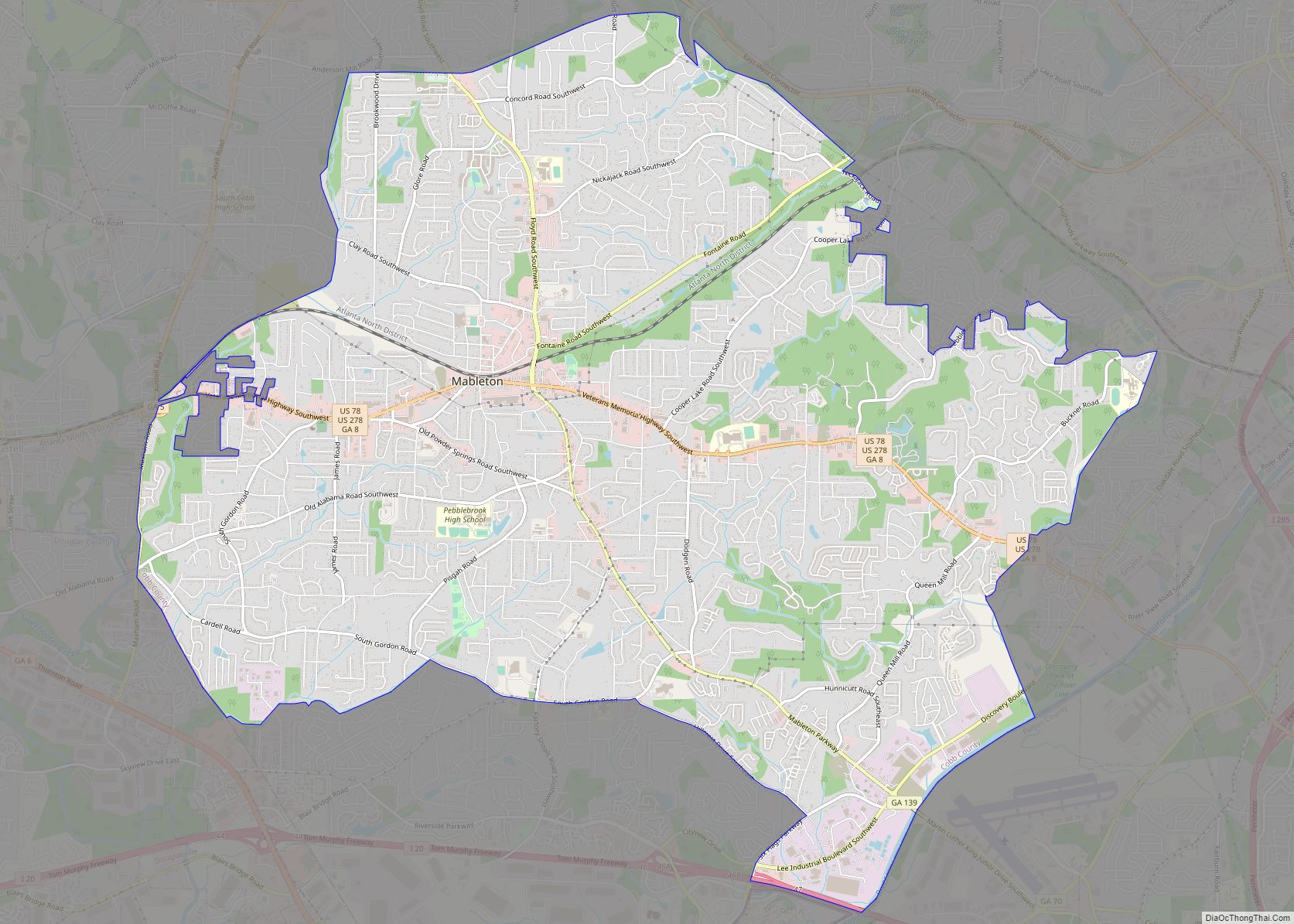
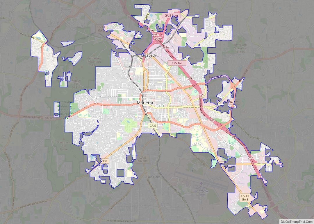
Fair Oaks lies just outside the city limits of Smyrna and Marietta, and the area uses “Smyrna” or “Marietta” for its mailing addresses. Except for actual residents of Fair Oaks, very few locals even know it exists as a separately-counted area. The name is also rarely used by local businesses, even in the immediate area. Mableton and Vinings, the only other CDPs in the county, are far better known.
The area was named for its many mature native oak trees. This, however, is threatened by nearby Dobbins Air Reserve Base and new Federal Aviation Administration regulations regarding flight paths for takeoff and landing. In 2005, the lower house of the Georgia General Assembly passed a resolution in support of the community, which was built in the early 20th century, well before the military base.[1]
| Name: | Fair Oaks CDP |
|---|---|
| LSAD Code: | 57 |
| LSAD Description: | CDP (suffix) |
| State: | Georgia |
| County: | Cobb County |
| Elevation: | 1,102 ft (336 m) |
| Total Area: | 1.96 sq mi (5.09 km²) |
| Land Area: | 1.96 sq mi (5.08 km²) |
| Water Area: | 0.00 sq mi (0.00 km²) |
| Total Population: | 9,028 |
| Population Density: | 4,600/sq mi (1,800/km²) |
| Area code: | 770/678/470 |
| FIPS code: | 1328520 |
| GNISfeature ID: | 0331684 |
Online Interactive Map
Click on ![]() to view map in "full screen" mode.
to view map in "full screen" mode.
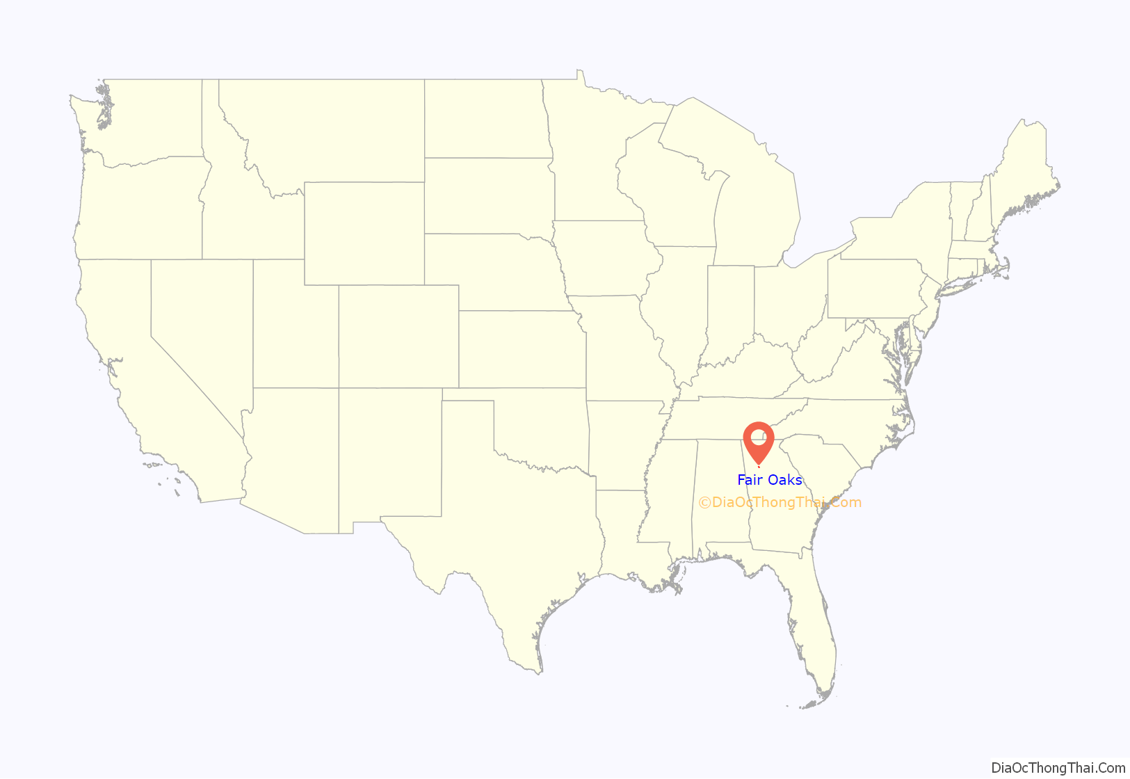
Fair Oaks location map. Where is Fair Oaks CDP?
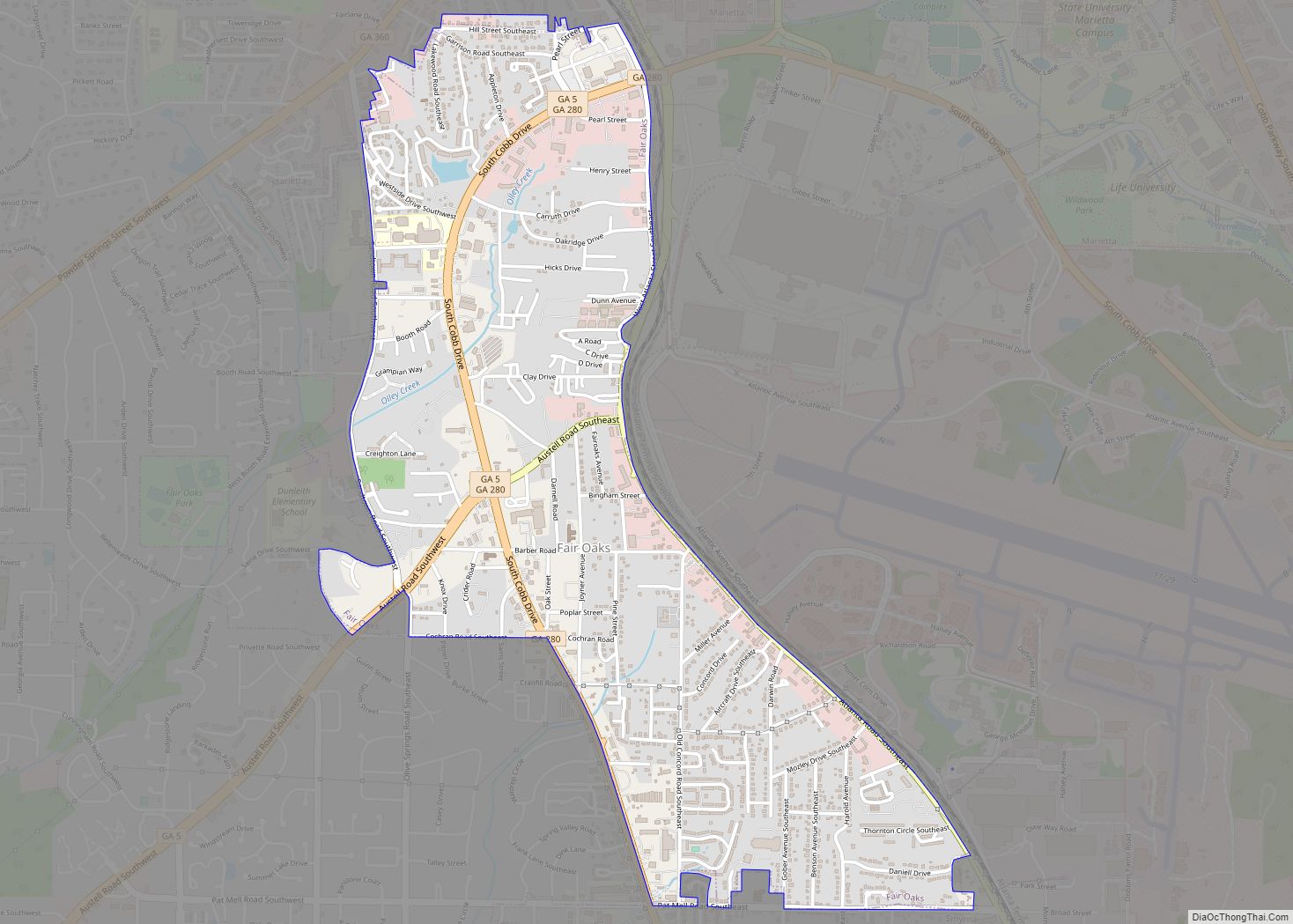
Fair Oaks Road Map
Fair Oaks city Satellite Map
Geography
Fair Oaks is located at 33°55′11″N 84°32′40″W / 33.91972°N 84.54444°W / 33.91972; -84.54444 (33.919802, -84.544507).
According to the United States Census Bureau, the CDP has a total area of 2.0 square miles (5.2 km), of which 0.51% is water.
See also
Map of Georgia State and its subdivision:- Appling
- Atkinson
- Bacon
- Baker
- Baldwin
- Banks
- Barrow
- Bartow
- Ben Hill
- Berrien
- Bibb
- Bleckley
- Brantley
- Brooks
- Bryan
- Bulloch
- Burke
- Butts
- Calhoun
- Camden
- Candler
- Carroll
- Catoosa
- Charlton
- Chatham
- Chattahoochee
- Chattooga
- Cherokee
- Clarke
- Clay
- Clayton
- Clinch
- Cobb
- Coffee
- Colquitt
- Columbia
- Cook
- Coweta
- Crawford
- Crisp
- Dade
- Dawson
- Decatur
- DeKalb
- Dodge
- Dooly
- Dougherty
- Douglas
- Early
- Echols
- Effingham
- Elbert
- Emanuel
- Evans
- Fannin
- Fayette
- Floyd
- Forsyth
- Franklin
- Fulton
- Gilmer
- Glascock
- Glynn
- Gordon
- Grady
- Greene
- Gwinnett
- Habersham
- Hall
- Hancock
- Haralson
- Harris
- Hart
- Heard
- Henry
- Houston
- Irwin
- Jackson
- Jasper
- Jeff Davis
- Jefferson
- Jenkins
- Johnson
- Jones
- Lamar
- Lanier
- Laurens
- Lee
- Liberty
- Lincoln
- Long
- Lowndes
- Lumpkin
- Macon
- Madison
- Marion
- McDuffie
- McIntosh
- Meriwether
- Miller
- Mitchell
- Monroe
- Montgomery
- Morgan
- Murray
- Muscogee
- Newton
- Oconee
- Oglethorpe
- Paulding
- Peach
- Pickens
- Pierce
- Pike
- Polk
- Pulaski
- Putnam
- Quitman
- Rabun
- Randolph
- Richmond
- Rockdale
- Schley
- Screven
- Seminole
- Spalding
- Stephens
- Stewart
- Sumter
- Talbot
- Taliaferro
- Tattnall
- Taylor
- Telfair
- Terrell
- Thomas
- Tift
- Toombs
- Towns
- Treutlen
- Troup
- Turner
- Twiggs
- Union
- Upson
- Walker
- Walton
- Ware
- Warren
- Washington
- Wayne
- Webster
- Wheeler
- White
- Whitfield
- Wilcox
- Wilkes
- Wilkinson
- Worth
- Alabama
- Alaska
- Arizona
- Arkansas
- California
- Colorado
- Connecticut
- Delaware
- District of Columbia
- Florida
- Georgia
- Hawaii
- Idaho
- Illinois
- Indiana
- Iowa
- Kansas
- Kentucky
- Louisiana
- Maine
- Maryland
- Massachusetts
- Michigan
- Minnesota
- Mississippi
- Missouri
- Montana
- Nebraska
- Nevada
- New Hampshire
- New Jersey
- New Mexico
- New York
- North Carolina
- North Dakota
- Ohio
- Oklahoma
- Oregon
- Pennsylvania
- Rhode Island
- South Carolina
- South Dakota
- Tennessee
- Texas
- Utah
- Vermont
- Virginia
- Washington
- West Virginia
- Wisconsin
- Wyoming
