Fairburn is a city in Fulton County, Georgia, United States, with a population of 12,950, according to the 2010 census. Though it has a rich history of its own, the city is now a closely linked suburb of Atlanta, which lies just 17 miles to the north.
| Name: | Fairburn city |
|---|---|
| LSAD Code: | 25 |
| LSAD Description: | city (suffix) |
| State: | Georgia |
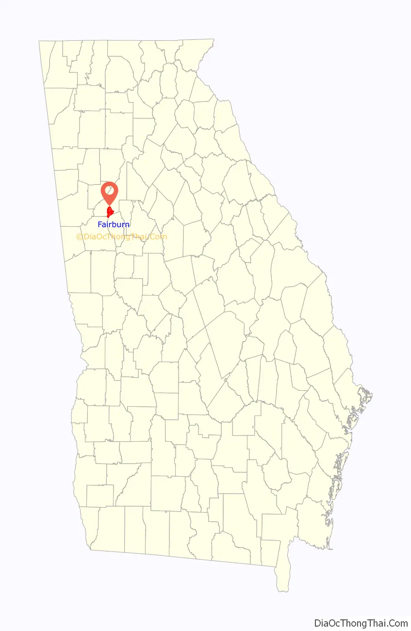
| County: | Fulton County |
| Elevation: | 1,027 ft (313 m) |
| Total Area: | 17.12 sq mi (44.34 km²) |
| Land Area: | 16.91 sq mi (43.79 km²) |
| Water Area: | 0.21 sq mi (0.55 km²) |
| Total Population: | 16,483 |
| Population Density: | 974.86/sq mi (376.40/km²) |
| ZIP code: | 30213 |
| Area code: | 770 |
| FIPS code: | 1328380 |
| GNISfeature ID: | 2403586 |
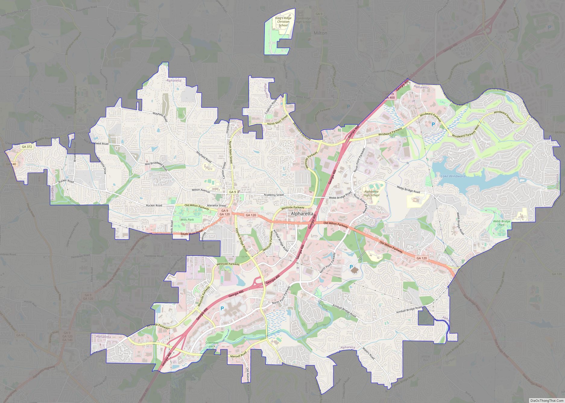
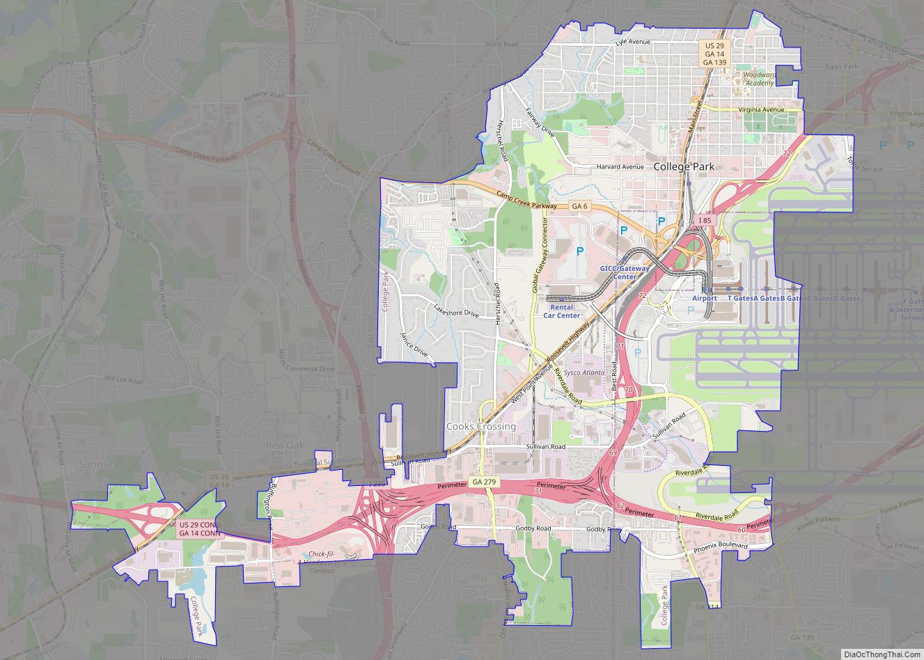
Online Interactive Map
Click on ![]() to view map in "full screen" mode.
to view map in "full screen" mode.
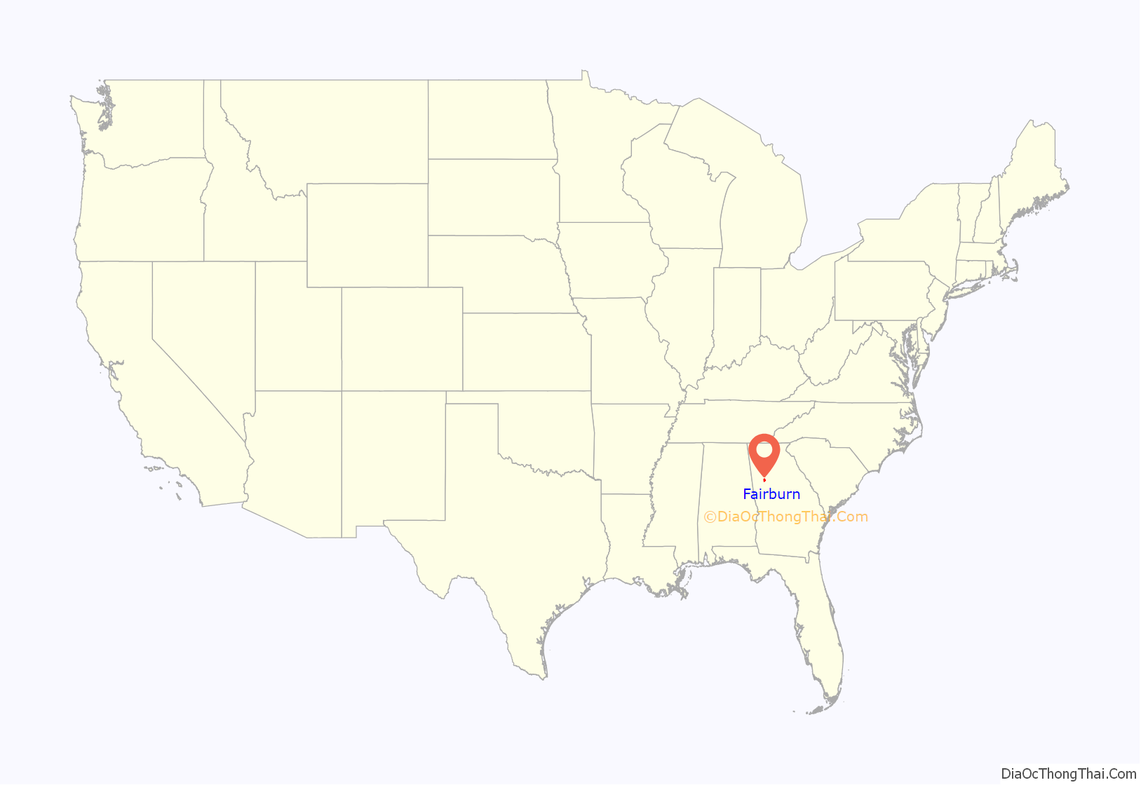
Fairburn location map. Where is Fairburn city?
History
Fairburn is located along a railroad line and was the county seat of Campbell County starting in 1871. It was chosen as county seat in a referendum in 1871 that was spurred by the original seat of Campbellton refusing to allow the Atlanta & West Point Railroad line through on account of the anticipated noise in the 1850s. The railroad instead passed through Fairburn. Campbellton then faded away as Fairburn grew. The government of Campbell County went bankrupt in 1931 during the Great Depression and, along with Milton County to the north, was absorbed into Fulton County when 1932 began.
The community is named after Fairburn, in England.
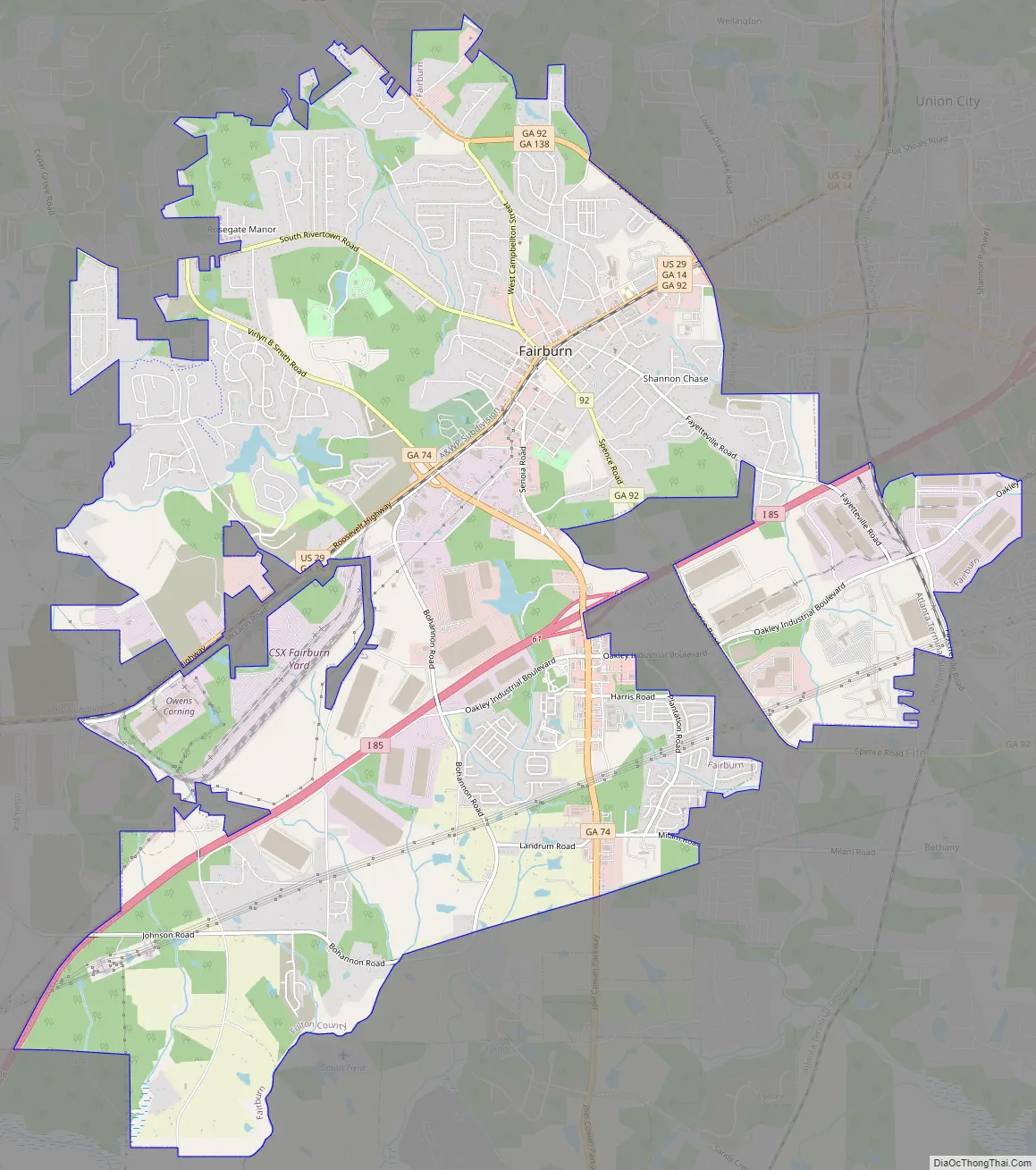
Fairburn Road Map
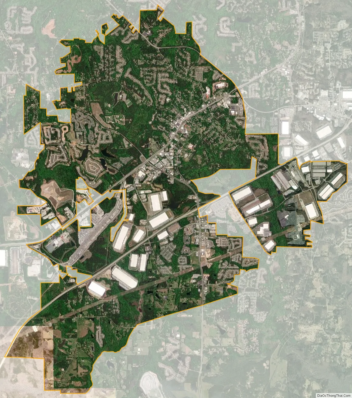
Fairburn city Satellite Map
Geography
Fairburn is located along Interstate 85, which leads northeast 20 miles (32 km) to downtown Atlanta and southwest 142 miles (229 km) to Montgomery, Alabama. Georgia State Route 74 also runs through the city, leading south 13 miles (21 km) to Peachtree City. Some areas in nearby Fayette County have a Fairburn mailing address.
According to the 2010 census, the city has a total area of 17.1 square miles (44.3 km), of which 16.9 square miles (43.8 km) is land and 0.2 square miles (0.5 km), or 1.24%, is water.
See also
Map of Georgia State and its subdivision:- Appling
- Atkinson
- Bacon
- Baker
- Baldwin
- Banks
- Barrow
- Bartow
- Ben Hill
- Berrien
- Bibb
- Bleckley
- Brantley
- Brooks
- Bryan
- Bulloch
- Burke
- Butts
- Calhoun
- Camden
- Candler
- Carroll
- Catoosa
- Charlton
- Chatham
- Chattahoochee
- Chattooga
- Cherokee
- Clarke
- Clay
- Clayton
- Clinch
- Cobb
- Coffee
- Colquitt
- Columbia
- Cook
- Coweta
- Crawford
- Crisp
- Dade
- Dawson
- Decatur
- DeKalb
- Dodge
- Dooly
- Dougherty
- Douglas
- Early
- Echols
- Effingham
- Elbert
- Emanuel
- Evans
- Fannin
- Fayette
- Floyd
- Forsyth
- Franklin
- Fulton
- Gilmer
- Glascock
- Glynn
- Gordon
- Grady
- Greene
- Gwinnett
- Habersham
- Hall
- Hancock
- Haralson
- Harris
- Hart
- Heard
- Henry
- Houston
- Irwin
- Jackson
- Jasper
- Jeff Davis
- Jefferson
- Jenkins
- Johnson
- Jones
- Lamar
- Lanier
- Laurens
- Lee
- Liberty
- Lincoln
- Long
- Lowndes
- Lumpkin
- Macon
- Madison
- Marion
- McDuffie
- McIntosh
- Meriwether
- Miller
- Mitchell
- Monroe
- Montgomery
- Morgan
- Murray
- Muscogee
- Newton
- Oconee
- Oglethorpe
- Paulding
- Peach
- Pickens
- Pierce
- Pike
- Polk
- Pulaski
- Putnam
- Quitman
- Rabun
- Randolph
- Richmond
- Rockdale
- Schley
- Screven
- Seminole
- Spalding
- Stephens
- Stewart
- Sumter
- Talbot
- Taliaferro
- Tattnall
- Taylor
- Telfair
- Terrell
- Thomas
- Tift
- Toombs
- Towns
- Treutlen
- Troup
- Turner
- Twiggs
- Union
- Upson
- Walker
- Walton
- Ware
- Warren
- Washington
- Wayne
- Webster
- Wheeler
- White
- Whitfield
- Wilcox
- Wilkes
- Wilkinson
- Worth
- Alabama
- Alaska
- Arizona
- Arkansas
- California
- Colorado
- Connecticut
- Delaware
- District of Columbia
- Florida
- Georgia
- Hawaii
- Idaho
- Illinois
- Indiana
- Iowa
- Kansas
- Kentucky
- Louisiana
- Maine
- Maryland
- Massachusetts
- Michigan
- Minnesota
- Mississippi
- Missouri
- Montana
- Nebraska
- Nevada
- New Hampshire
- New Jersey
- New Mexico
- New York
- North Carolina
- North Dakota
- Ohio
- Oklahoma
- Oregon
- Pennsylvania
- Rhode Island
- South Carolina
- South Dakota
- Tennessee
- Texas
- Utah
- Vermont
- Virginia
- Washington
- West Virginia
- Wisconsin
- Wyoming