North Druid Hills, also known as Briarcliff or Toco Hills, is an unincorporated community and census-designated place (North Druid Hills CDP) in DeKalb County, Georgia, United States. The population was 18,947 at the 2010 census. The commercial center of the area is the Toco Hill Shopping Center, located near the intersection of North Druid Hills Road and LaVista Road.
| Name: | North Druid Hills CDP |
|---|---|
| LSAD Code: | 57 |
| LSAD Description: | CDP (suffix) |
| State: | Georgia |
| County: | DeKalb County |
| Elevation: | 1,014 ft (309 m) |
| Total Area: | 4.46 sq mi (11.55 km²) |
| Land Area: | 4.45 sq mi (11.53 km²) |
| Water Area: | 0.01 sq mi (0.02 km²) |
| Total Population: | 20,385 |
| Population Density: | 4,580.90/sq mi (1,768.54/km²) |
| FIPS code: | 1356168 |
| GNISfeature ID: | 1805271 |
Online Interactive Map
Click on ![]() to view map in "full screen" mode.
to view map in "full screen" mode.
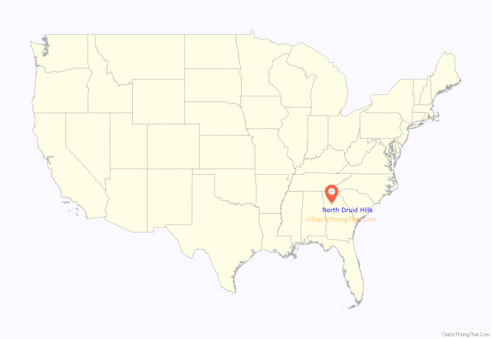
North Druid Hills location map. Where is North Druid Hills CDP?
History
One of the earliest European settlers in north DeKalb County was Chapman Powell, whose “Medicine House” cabin was built near the intersection of Clairmont and North Decatur roads (later relocated to Stone Mountain Park, where it still stands). Dr. Powell (1798–1870) owned most of the land in the Candler Lake and South Fork Peachtree Creek area during his lifetime. His land was later purchased by Walter Candler.
Major Washington Jackson Houston owned land on the north side of the South Fork of Peachtree Creek, in what is now Briarcliff. Visitors used to visit Major Houston to buy ground cornmeal produced by his 1876 gristmill or to attend social gatherings held on his property. Major Houston converted the mill into an early hydroelectric plant circa 1900. Atlanta contractor Harry J. Carr bought Houston’s land in the 1920s and constructed the fieldstone and wrought iron home now known as the Houston Mill House. Emory University purchased the home in the 1960s and renovated it. Houston Mill House, located at 849 Houston Mill Road, is now open for dining and special events.
After World War II and continuing into the 1950s, many Jews moved out of Washington-Rawson, where Turner Field now stands, and the Old Fourth Ward into North Druid Hills and Morningside/Lenox Park. Congregation Beth Jacob, an orthodox synagogue, moved to LaVista Road in 1962, and the neighborhood has since become a hub of Orthodox Judaism for the Atlanta area with three Jewish schools, six congregations and a mikveh located along or near LaVista Road.
The North Druid Hills CDP remained rural until 1965, when Executive Park was constructed on a former dairy farm as the first suburban office park in metropolitan Atlanta. Following the completion of Executive Park, the area boomed with suburban development. The 19-story Executive Park Motor Hotel, built in the 1970s at the southeast corner of I-85 and North Druid Hills Road and which later served as a BellSouth training center, was a modernist landmark until its demolition in November 2014 after being purchased by Children’s Healthcare of Atlanta for $9.6 million in January 2013.
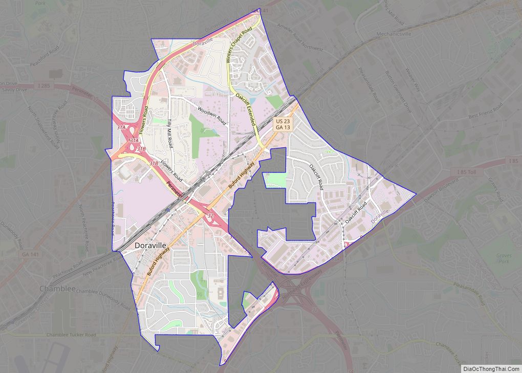
North Druid Hills Road Map
North Druid Hills city Satellite Map
Geography
North Druid Hills is located at 33°49′11″N 84°19′41″W / 33.819654°N 84.328061°W / 33.819654; -84.328061.
According to the United States Census Bureau, the CDP has a total area of 5.0 square miles (13 km), of which 0.20% is water. The CDP boundaries are:
- Interstate 85 to the north, across which is the Buford Highway corridor and the city of Brookhaven
- Clairmont Road and the North Decatur CDP and city of Decatur to the east
- the South Fork of Peachtree Creek and the Druid Hills CDP to the south, and
- the DeKalb County boundary with the city of Atlanta to the west
Neighborhoods
- Biltmore Acres. South of LaVista Rd., west of Houston Mill Rd. & north of the South Branch of Peachtree Creek.
- Briarcliff Heights. NW of Mount Brian Woods.
- Green Hills. North of Briarcliff Rd. & south of I-85.
- LaVista Park. East of DeKalb/Fulton line and west of Briarcliff Road.
- Merry Hills. Between LaVista Rd. & North Druid Hills Rd.
- Mount Brian Woods. North of North Druid Hills Rd., NW of LaVista Rd. & west of Clairmont Rd.
- Sheridan Court. In CDP NW corner, around Sheridan Drive.
- Woodland Hills. South of LaVista Road between Briarcliff Road & DeKalb County boundary.
- Mason Mill. South of North Druid Hills Road & LaVista Road, between Clairmont Road & Houston Mill.
- Vistavia Hills. On Vistavia Circle between Clairmont Road & Mason Woods Drive.
- Executive Park. Developed in the early 1970s as one of Atlanta’s first mixed-use developments; located at I-85 and North Druid Hills Road.
- Fama Pines. Consisting of the long dead end Fama Drive and the smaller Jacolyn Place spur, The entrance to Fama Pines is due north of the LaVista Road and N. Druid Hills intersection. Active since the 1950s.
Toco Hills is a large commercial and residential neighborhood in the eastern portion of the North Druid Hills CDP. The commercial component consists of two major shopping centers that are located at the intersection of LaVista and North Druid Hills roads that were developed in the 1950s. While it is generally accepted that the name “Toco Hills” is derived from the Toco Hill shopping center, the origin of that name is disputed. Some sources claim that the developer chose the name Toco because it was the Brazilian Indian word for “good luck.” Other sources claim Toco is an informal abbreviation of “top of the County.” In any case, the shopping center was developed on what was a hill, and the name gradually changed to “Toco Hills.” The area is home to a large Orthodox Jewish population, and marked by wooded subdivisions featuring mostly ranch homes surrounding the commercial area.
See also
Map of Georgia State and its subdivision:- Appling
- Atkinson
- Bacon
- Baker
- Baldwin
- Banks
- Barrow
- Bartow
- Ben Hill
- Berrien
- Bibb
- Bleckley
- Brantley
- Brooks
- Bryan
- Bulloch
- Burke
- Butts
- Calhoun
- Camden
- Candler
- Carroll
- Catoosa
- Charlton
- Chatham
- Chattahoochee
- Chattooga
- Cherokee
- Clarke
- Clay
- Clayton
- Clinch
- Cobb
- Coffee
- Colquitt
- Columbia
- Cook
- Coweta
- Crawford
- Crisp
- Dade
- Dawson
- Decatur
- DeKalb
- Dodge
- Dooly
- Dougherty
- Douglas
- Early
- Echols
- Effingham
- Elbert
- Emanuel
- Evans
- Fannin
- Fayette
- Floyd
- Forsyth
- Franklin
- Fulton
- Gilmer
- Glascock
- Glynn
- Gordon
- Grady
- Greene
- Gwinnett
- Habersham
- Hall
- Hancock
- Haralson
- Harris
- Hart
- Heard
- Henry
- Houston
- Irwin
- Jackson
- Jasper
- Jeff Davis
- Jefferson
- Jenkins
- Johnson
- Jones
- Lamar
- Lanier
- Laurens
- Lee
- Liberty
- Lincoln
- Long
- Lowndes
- Lumpkin
- Macon
- Madison
- Marion
- McDuffie
- McIntosh
- Meriwether
- Miller
- Mitchell
- Monroe
- Montgomery
- Morgan
- Murray
- Muscogee
- Newton
- Oconee
- Oglethorpe
- Paulding
- Peach
- Pickens
- Pierce
- Pike
- Polk
- Pulaski
- Putnam
- Quitman
- Rabun
- Randolph
- Richmond
- Rockdale
- Schley
- Screven
- Seminole
- Spalding
- Stephens
- Stewart
- Sumter
- Talbot
- Taliaferro
- Tattnall
- Taylor
- Telfair
- Terrell
- Thomas
- Tift
- Toombs
- Towns
- Treutlen
- Troup
- Turner
- Twiggs
- Union
- Upson
- Walker
- Walton
- Ware
- Warren
- Washington
- Wayne
- Webster
- Wheeler
- White
- Whitfield
- Wilcox
- Wilkes
- Wilkinson
- Worth
- Alabama
- Alaska
- Arizona
- Arkansas
- California
- Colorado
- Connecticut
- Delaware
- District of Columbia
- Florida
- Georgia
- Hawaii
- Idaho
- Illinois
- Indiana
- Iowa
- Kansas
- Kentucky
- Louisiana
- Maine
- Maryland
- Massachusetts
- Michigan
- Minnesota
- Mississippi
- Missouri
- Montana
- Nebraska
- Nevada
- New Hampshire
- New Jersey
- New Mexico
- New York
- North Carolina
- North Dakota
- Ohio
- Oklahoma
- Oregon
- Pennsylvania
- Rhode Island
- South Carolina
- South Dakota
- Tennessee
- Texas
- Utah
- Vermont
- Virginia
- Washington
- West Virginia
- Wisconsin
- Wyoming


