Stonecrest is a city in DeKalb County, Georgia, United States. The boundaries of the city generally lie in the far southeastern corner of the county, and a smaller portion just north of Interstate 20. The city borders the existing municipality of Lithonia, as well as Rockdale and Henry counties. Residents in the area voted in the November 2016 General Election to approve the city. In March 2017, elections were held to elect representatives for five city council districts as well as mayor. Jason Lary, a former insurance executive, concert promoter, and advocate of incorporation was elected the city’s first mayor. The City Council members are District 1, Jimmy Clanton, District 2 Rob Turner, District 3 Jazzmin Cobble, District 4 George Turner and District 5 Tammy Grimes. Also the area is represented at the county level by District 5 Commissioner Mereda Davis-Johnson and Super District 7 Commissioner Lorraine Cochran- Johnson.
The city’s population was 59,194 at the 2020 census, which makes it the 15th-largest city in the state as well as the largest city that is entirely within DeKalb County, as the state capital of Atlanta is located mostly within Fulton County.
The area is home to the Mall at Stonecrest, for which it is named, as well as the Davidson-Arabia Nature Preserve, Flat Rock Archives, and Arabia Mountain National Heritage Area.
The city had voted a plan to deannex 345 acres of its territory so that the Georgia Legislature could create a new city, to be called Amazon, Georgia, if Stonecrest had been selected to host Amazon’s new corporate headquarters, a project which would result in billions of dollars of investment and the creation of 50,000 jobs, a number equal to the estimated population of Stonecrest.
Jason Lary, the former Mayor of Stonecrest pleaded guilty in federal court to stealing COVID-19 relief funds that were supposed to go to struggling businesses. Jason Lary, whose resignation went into effect at 10 a.m. Wednesday, January 5th, 2022, pleaded guilty to three counts involving wire fraud, theft of government funds and conspiracy. Lary agreed that he diverted at least $650,000 in relief money by requiring Stonecrest churches and businesses to kick back a portion of their grant money to companies he controlled.
| Name: | Stonecrest city |
|---|---|
| LSAD Code: | 25 |
| LSAD Description: | city (suffix) |
| State: | Georgia |
| County: | DeKalb County |
| Elevation: | 883 ft (269 m) |
| Total Area: | 37.97 sq mi (98.34 km²) |
| Land Area: | 37.40 sq mi (96.87 km²) |
| Water Area: | 0.57 sq mi (1.47 km²) |
| Total Population: | 59,194 |
| Population Density: | 1,582.60/sq mi (611.05/km²) |
| FIPS code: | 1373784 |
| GNISfeature ID: | 2786722 |
| Website: | www.stonecrestga.gov |
Online Interactive Map
Click on ![]() to view map in "full screen" mode.
to view map in "full screen" mode.
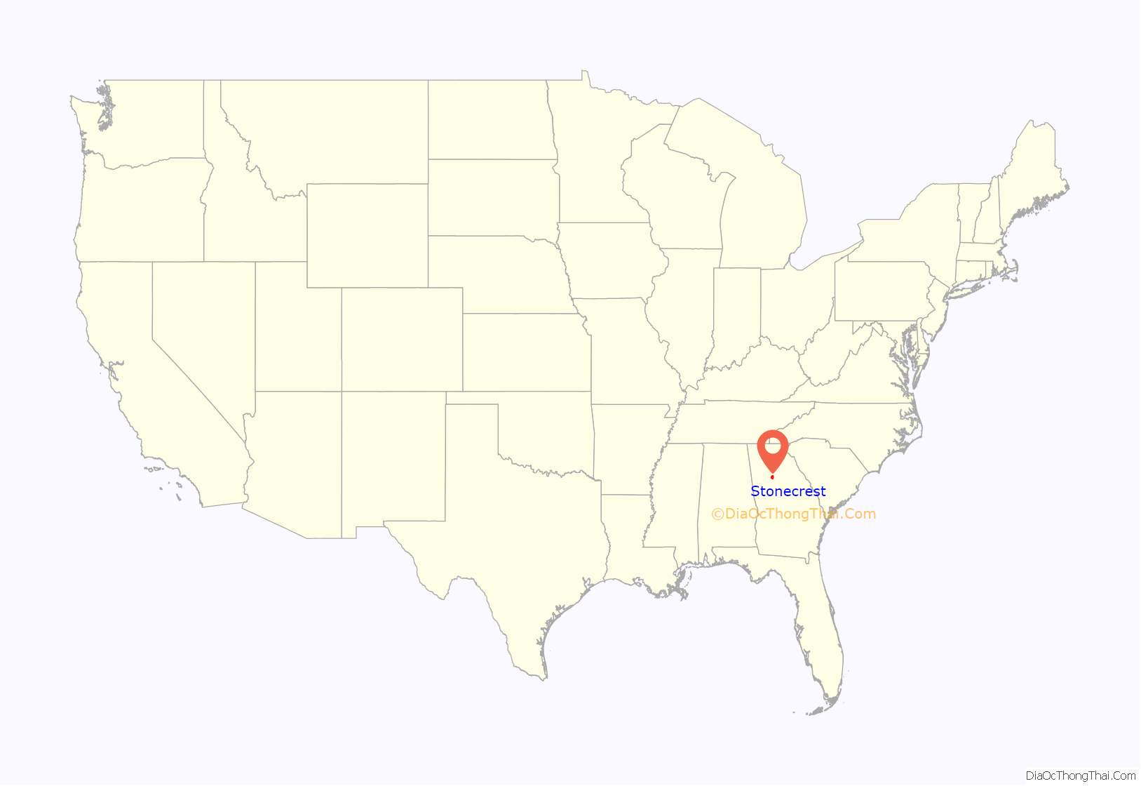
Stonecrest location map. Where is Stonecrest city?
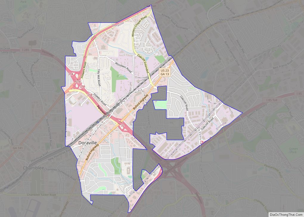
Stonecrest Road Map
Stonecrest city Satellite Map
See also
Map of Georgia State and its subdivision:- Appling
- Atkinson
- Bacon
- Baker
- Baldwin
- Banks
- Barrow
- Bartow
- Ben Hill
- Berrien
- Bibb
- Bleckley
- Brantley
- Brooks
- Bryan
- Bulloch
- Burke
- Butts
- Calhoun
- Camden
- Candler
- Carroll
- Catoosa
- Charlton
- Chatham
- Chattahoochee
- Chattooga
- Cherokee
- Clarke
- Clay
- Clayton
- Clinch
- Cobb
- Coffee
- Colquitt
- Columbia
- Cook
- Coweta
- Crawford
- Crisp
- Dade
- Dawson
- Decatur
- DeKalb
- Dodge
- Dooly
- Dougherty
- Douglas
- Early
- Echols
- Effingham
- Elbert
- Emanuel
- Evans
- Fannin
- Fayette
- Floyd
- Forsyth
- Franklin
- Fulton
- Gilmer
- Glascock
- Glynn
- Gordon
- Grady
- Greene
- Gwinnett
- Habersham
- Hall
- Hancock
- Haralson
- Harris
- Hart
- Heard
- Henry
- Houston
- Irwin
- Jackson
- Jasper
- Jeff Davis
- Jefferson
- Jenkins
- Johnson
- Jones
- Lamar
- Lanier
- Laurens
- Lee
- Liberty
- Lincoln
- Long
- Lowndes
- Lumpkin
- Macon
- Madison
- Marion
- McDuffie
- McIntosh
- Meriwether
- Miller
- Mitchell
- Monroe
- Montgomery
- Morgan
- Murray
- Muscogee
- Newton
- Oconee
- Oglethorpe
- Paulding
- Peach
- Pickens
- Pierce
- Pike
- Polk
- Pulaski
- Putnam
- Quitman
- Rabun
- Randolph
- Richmond
- Rockdale
- Schley
- Screven
- Seminole
- Spalding
- Stephens
- Stewart
- Sumter
- Talbot
- Taliaferro
- Tattnall
- Taylor
- Telfair
- Terrell
- Thomas
- Tift
- Toombs
- Towns
- Treutlen
- Troup
- Turner
- Twiggs
- Union
- Upson
- Walker
- Walton
- Ware
- Warren
- Washington
- Wayne
- Webster
- Wheeler
- White
- Whitfield
- Wilcox
- Wilkes
- Wilkinson
- Worth
- Alabama
- Alaska
- Arizona
- Arkansas
- California
- Colorado
- Connecticut
- Delaware
- District of Columbia
- Florida
- Georgia
- Hawaii
- Idaho
- Illinois
- Indiana
- Iowa
- Kansas
- Kentucky
- Louisiana
- Maine
- Maryland
- Massachusetts
- Michigan
- Minnesota
- Mississippi
- Missouri
- Montana
- Nebraska
- Nevada
- New Hampshire
- New Jersey
- New Mexico
- New York
- North Carolina
- North Dakota
- Ohio
- Oklahoma
- Oregon
- Pennsylvania
- Rhode Island
- South Carolina
- South Dakota
- Tennessee
- Texas
- Utah
- Vermont
- Virginia
- Washington
- West Virginia
- Wisconsin
- Wyoming


