Sugar Hill is a city in northern Gwinnett County and a suburb of Atlanta in the U.S. state of Georgia. The population was 18,522 as of the 2010 census, making it the fourth-largest city in Gwinnett County. As of 2020, the estimated population was 23,994. It is in close proximity to Lake Lanier and the foothills of the North Georgia mountains.
| Name: | Sugar Hill city |
|---|---|
| LSAD Code: | 25 |
| LSAD Description: | city (suffix) |
| State: | Georgia |
| County: | Gwinnett County |
| Elevation: | 1,086 ft (331 m) |
| Total Area: | 11.16 sq mi (28.91 km²) |
| Land Area: | 11.13 sq mi (28.82 km²) |
| Water Area: | 0.04 sq mi (0.10 km²) |
| Total Population: | 25,076 |
| Population Density: | 2,253.82/sq mi (870.22/km²) |
| ZIP code: | 30518 |
| Area code: | 770, 678 |
| FIPS code: | 1374180 |
| GNISfeature ID: | 2405538 |
| Website: | www.cityofsugarhill.com |
Online Interactive Map
Click on ![]() to view map in "full screen" mode.
to view map in "full screen" mode.
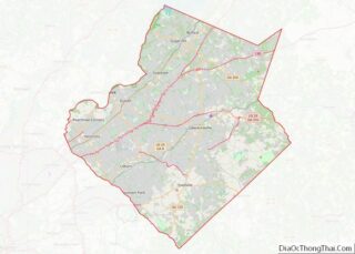
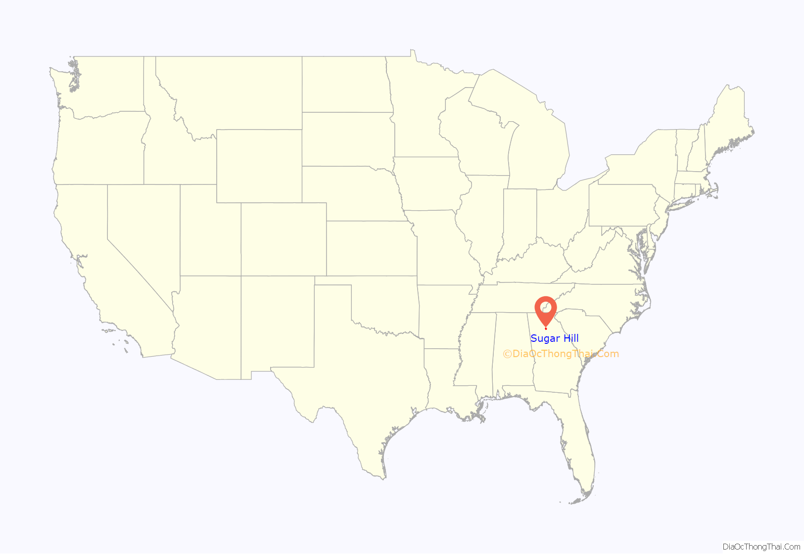
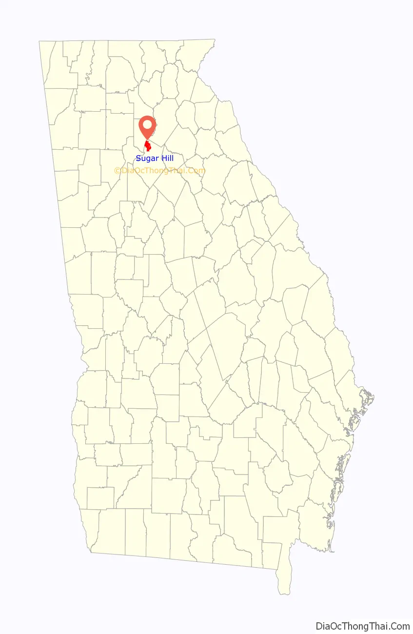
Sugar Hill location map. Where is Sugar Hill city?
History
Sugar Hill was established through a charter by the Georgia state assembly in 1939 as the Town of Sugar Hill and officially incorporated on March 24, 1939. The town was renamed the City of Sugar Hill in 1975. Before the city was incorporated, the area was part of a route from the railroad in Buford to the city of Cumming. According to tradition, the town was named after an incident where a large shipment of sugar spilled and the area became known as “the hill where the sugar spilled” or “the sugar hill”.
In 2001, a drastic increase in natural gas prices, disproportionate to the cost of natural gas outside of Sugar Hill, resulted in residents forming “The Committee to Dissolve Sugar Hill”, with over 1,600 residents signing a petition calling for a referendum to abolish both the municipal utility and the city itself. State senator Billy Ray proposed a bill asking for a non-binding referendum. The bill was passed in the state senate but failed to pass in the House, and the effort to revoke the city’s charter was unsuccessful. The city council responded to this effort by reducing the utility’s prices to be comparable to those in the surrounding area.
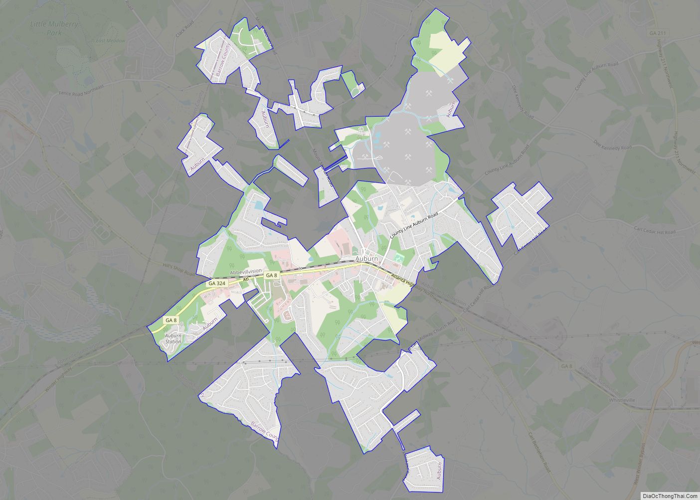
Sugar Hill Road Map
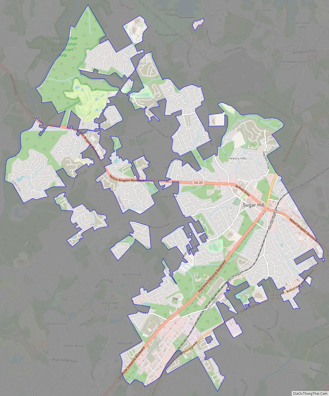
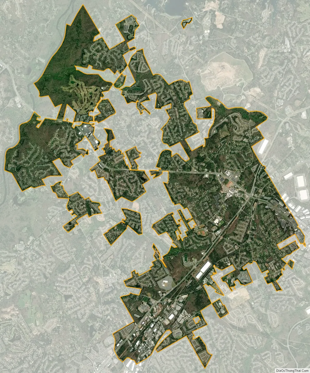
Sugar Hill city Satellite Map
Geography
Sugar Hill is located in northern Gwinnett County in northern Georgia. It is bordered to the northeast by the city of Buford and to the southwest by the city of Suwanee. Georgia State Route 20 is the main highway through the center of Sugar Hill, leading northwest 11 miles (18 km) to Cumming and south 12 miles (19 km) to Lawrenceville, the Gwinnett County seat. U.S. Route 23 runs along the southern edge of Sugar Hill, leading southwest 5 miles (8 km) to Suwanee and 10 miles (16 km) to Duluth. US 23 turns southeast at the Sugar Hill–Buford border and runs 1 mile (1.6 km) with SR 20 to Interstate 985, which in turn leads northeast 19 miles (31 km) to Gainesville and southwest 36 miles (58 km) to downtown Atlanta.
According to the United States Census Bureau, as of 2010 the city of Sugar Hill had a total land area of 10.6 square miles (27.5 km), of which 0.04 square miles (0.1 km), or 0.33%, was water. The U.S. Geological Survey lists the city’s elevation as 1,149 feet (350 m).
Climate
The climate of Sugar Hill, as with most of the southeastern United States, is humid subtropical (Cfa) according to the Köppen classification with four seasons, including hot, humid summers and cool winters.
July is generally the warmest month of the year with an average high of around 87 °F (31 °C). The coldest month is January which has an average high of around 50 °F (10 °C). The highest recorded temperature was 107 °F (42 °C) in 1952, while the lowest recorded temperature was −8 °F (−22 °C) in 1985.
Sugar Hill receives abundant rainfall distributed fairly evenly throughout the year, as is typical of southeastern cities, with February on average having the highest average precipitation at 5.3 inches (130 mm), and April typically being the driest month with 3.7 inches (94 mm).
See also
Map of Georgia State and its subdivision:- Appling
- Atkinson
- Bacon
- Baker
- Baldwin
- Banks
- Barrow
- Bartow
- Ben Hill
- Berrien
- Bibb
- Bleckley
- Brantley
- Brooks
- Bryan
- Bulloch
- Burke
- Butts
- Calhoun
- Camden
- Candler
- Carroll
- Catoosa
- Charlton
- Chatham
- Chattahoochee
- Chattooga
- Cherokee
- Clarke
- Clay
- Clayton
- Clinch
- Cobb
- Coffee
- Colquitt
- Columbia
- Cook
- Coweta
- Crawford
- Crisp
- Dade
- Dawson
- Decatur
- DeKalb
- Dodge
- Dooly
- Dougherty
- Douglas
- Early
- Echols
- Effingham
- Elbert
- Emanuel
- Evans
- Fannin
- Fayette
- Floyd
- Forsyth
- Franklin
- Fulton
- Gilmer
- Glascock
- Glynn
- Gordon
- Grady
- Greene
- Gwinnett
- Habersham
- Hall
- Hancock
- Haralson
- Harris
- Hart
- Heard
- Henry
- Houston
- Irwin
- Jackson
- Jasper
- Jeff Davis
- Jefferson
- Jenkins
- Johnson
- Jones
- Lamar
- Lanier
- Laurens
- Lee
- Liberty
- Lincoln
- Long
- Lowndes
- Lumpkin
- Macon
- Madison
- Marion
- McDuffie
- McIntosh
- Meriwether
- Miller
- Mitchell
- Monroe
- Montgomery
- Morgan
- Murray
- Muscogee
- Newton
- Oconee
- Oglethorpe
- Paulding
- Peach
- Pickens
- Pierce
- Pike
- Polk
- Pulaski
- Putnam
- Quitman
- Rabun
- Randolph
- Richmond
- Rockdale
- Schley
- Screven
- Seminole
- Spalding
- Stephens
- Stewart
- Sumter
- Talbot
- Taliaferro
- Tattnall
- Taylor
- Telfair
- Terrell
- Thomas
- Tift
- Toombs
- Towns
- Treutlen
- Troup
- Turner
- Twiggs
- Union
- Upson
- Walker
- Walton
- Ware
- Warren
- Washington
- Wayne
- Webster
- Wheeler
- White
- Whitfield
- Wilcox
- Wilkes
- Wilkinson
- Worth
- Alabama
- Alaska
- Arizona
- Arkansas
- California
- Colorado
- Connecticut
- Delaware
- District of Columbia
- Florida
- Georgia
- Hawaii
- Idaho
- Illinois
- Indiana
- Iowa
- Kansas
- Kentucky
- Louisiana
- Maine
- Maryland
- Massachusetts
- Michigan
- Minnesota
- Mississippi
- Missouri
- Montana
- Nebraska
- Nevada
- New Hampshire
- New Jersey
- New Mexico
- New York
- North Carolina
- North Dakota
- Ohio
- Oklahoma
- Oregon
- Pennsylvania
- Rhode Island
- South Carolina
- South Dakota
- Tennessee
- Texas
- Utah
- Vermont
- Virginia
- Washington
- West Virginia
- Wisconsin
- Wyoming