Peachtree Corners is a city in Gwinnett County, Georgia, United States. It is part of the Atlanta metropolitan area, and is the largest city in Gwinnett County with a population of 42,243 as of the 2020 US Census.
Peachtree Corners is the only Atlanta northern suburb developed as a planned community. The city is bordered to the north and west by the Chattahoochee River and is located east of Dunwoody.
| Name: | Peachtree Corners city |
|---|---|
| LSAD Code: | 25 |
| LSAD Description: | city (suffix) |
| State: | Georgia |
| County: | Gwinnett County |
| Incorporated: | July 1, 2012 |
| Elevation: | 994 ft (303 m) |
| Total Area: | 16.23 sq mi (42.03 km²) |
| Land Area: | 16.11 sq mi (41.71 km²) |
| Water Area: | 0.12 sq mi (0.32 km²) |
| Total Population: | 42,243 |
| Population Density: | 2,622.97/sq mi (1,012.75/km²) |
| ZIP code: | 30010, 30071, 30092, 30096, 30097 |
| Area code: | 770, 678, 404, 470 |
| FIPS code: | 1359735 |
| GNISfeature ID: | 2710337 |
| Website: | peachtreecornersga.gov |
Online Interactive Map
Click on ![]() to view map in "full screen" mode.
to view map in "full screen" mode.
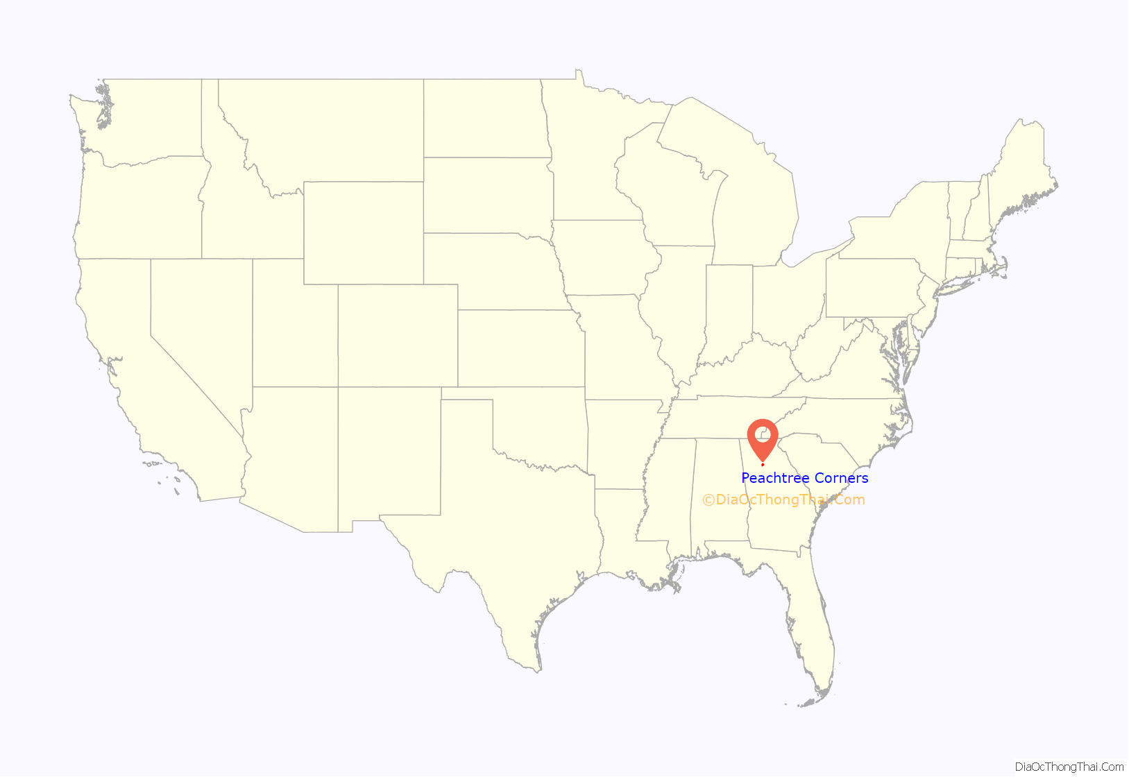
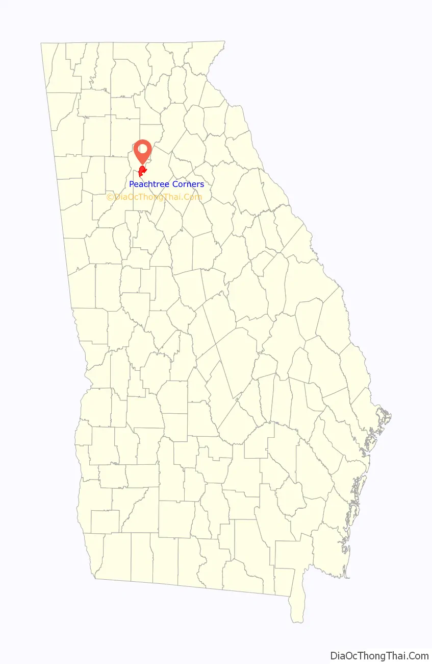
Peachtree Corners location map. Where is Peachtree Corners city?
History
Settlement
Prior to 1818, the western corner of what became Gwinnett County was Creek and Cherokee territory, and it was illegal for white families to settle there. Nevertheless, there were several families of white squatters in the area before settlement was legalized, including Isham Medlock, whose name is lent to Medlock Bridge Road. In the early 1800s, a road was built along a Native American trail from what is now Buford, past what is now Peachtree Corners, to what is now Atlanta. A small farming community, known as “Pinckneyville,” grew up along that road. By 1827, the community was home to the second school in Gwinnett County, the Washington Academy, founded on what is now Spalding Drive. The area was also home to a post office, saloon, blacksmith shop, carpenter shop and inn; however, the prosperity of Pinckneyville was to be short-lived.
In 1870, a railroad was built through neighboring Norcross, and due to the heavy trading that could be done via the railroad, all of the area’s businesses and many residents moved from Pinckneyville to Norcross.
Urban development
For the next century, the area remained a rural farming community. In the late 1960s, Paul Duke developed the idea of creating Peachtree Corners, a planned community to be constructed in the area that was once known as Pinckneyville. In 1967, Duke initiated the planning of the office component of Peachtree Corners: Technology Park Atlanta, a campus for high technology industries that would benefit from employing engineers and business people graduating from the Georgia Institute of Technology (Georgia Tech), the University of Georgia, and other universities with technology and business schools. As a member of the Georgia Tech National Advisory Board, he raised $1.7 million to develop the business center. Initial residents of the technology park included GE, Scientific Atlanta (now part of Cisco Systems), and Hayes Microcomputer Products. In 1968, Duke established Peachtree Corners, Inc., a development corporation for the residential parts of the community.
During the 1970s, Jim Cowart began to develop the neighborhoods that Duke had planned. Initial neighborhoods developed by Cowart included Peachtree Station, Chattahoochee Station, and Spalding Corners. During this period, Cowart developed more upscale housing and laid more sewer pipes than the rest of Gwinnett County.
Incorporation
The United Peachtree Corners Civic Association (UPCCA), an umbrella group of neighborhood homeowners’ associations, was formed in 1993 in response to land use and development concerns in the area. Despite the efforts of the UPCCA, some development opposed by the UPCCA continued in Peachtree Corners throughout the 1990s; therefore, in 1999, the idea of incorporating Peachtree Corners was first proposed. Nonetheless, due to the complexity of existing law, an incorporation movement did not then materialize. A city of Peachtree Corners was again proposed by the UPCCA in 2005, but efforts were abandoned after a straw survey of some residents seemed to indicate that the majority did not support incorporation.
In 2010 the UPCCA again pursued the incorporation of Peachtree Corners after a failed attempt by the city of Norcross to annex a portion of Technology Park Atlanta. In a referendum held on November 8, 2011, residents of Peachtree Corners voted to incorporate as Gwinnett County’s 16th city, and, with a population of 43,059, it became the county’s largest. Municipal operations began on July 1, 2012.
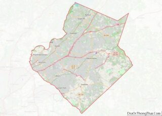
Peachtree Corners Road Map
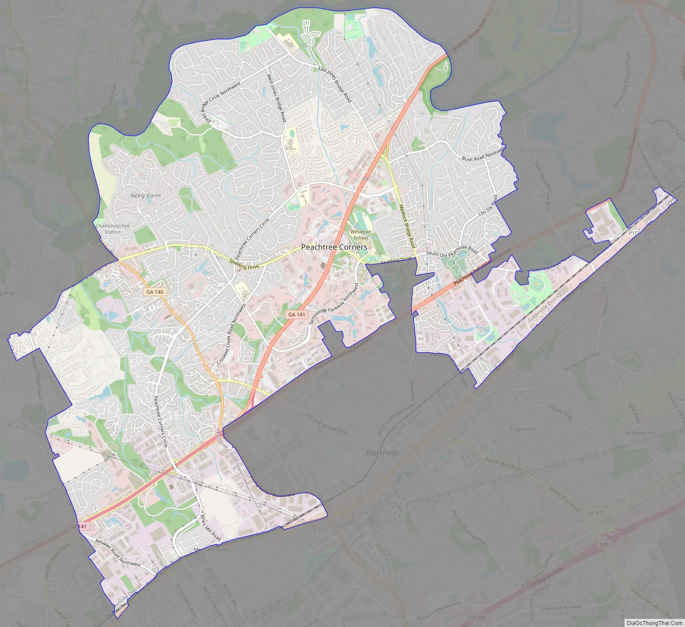
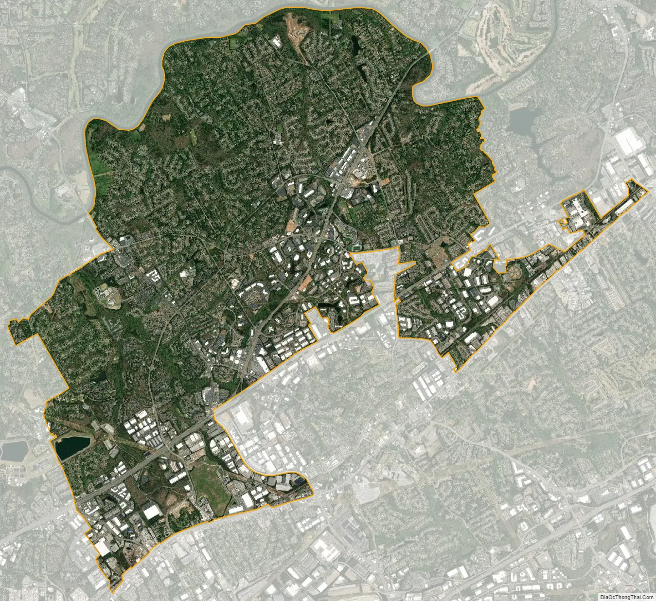
Peachtree Corners city Satellite Map
Geography
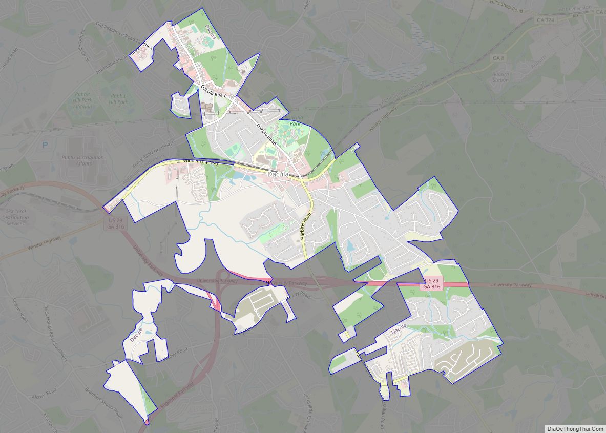
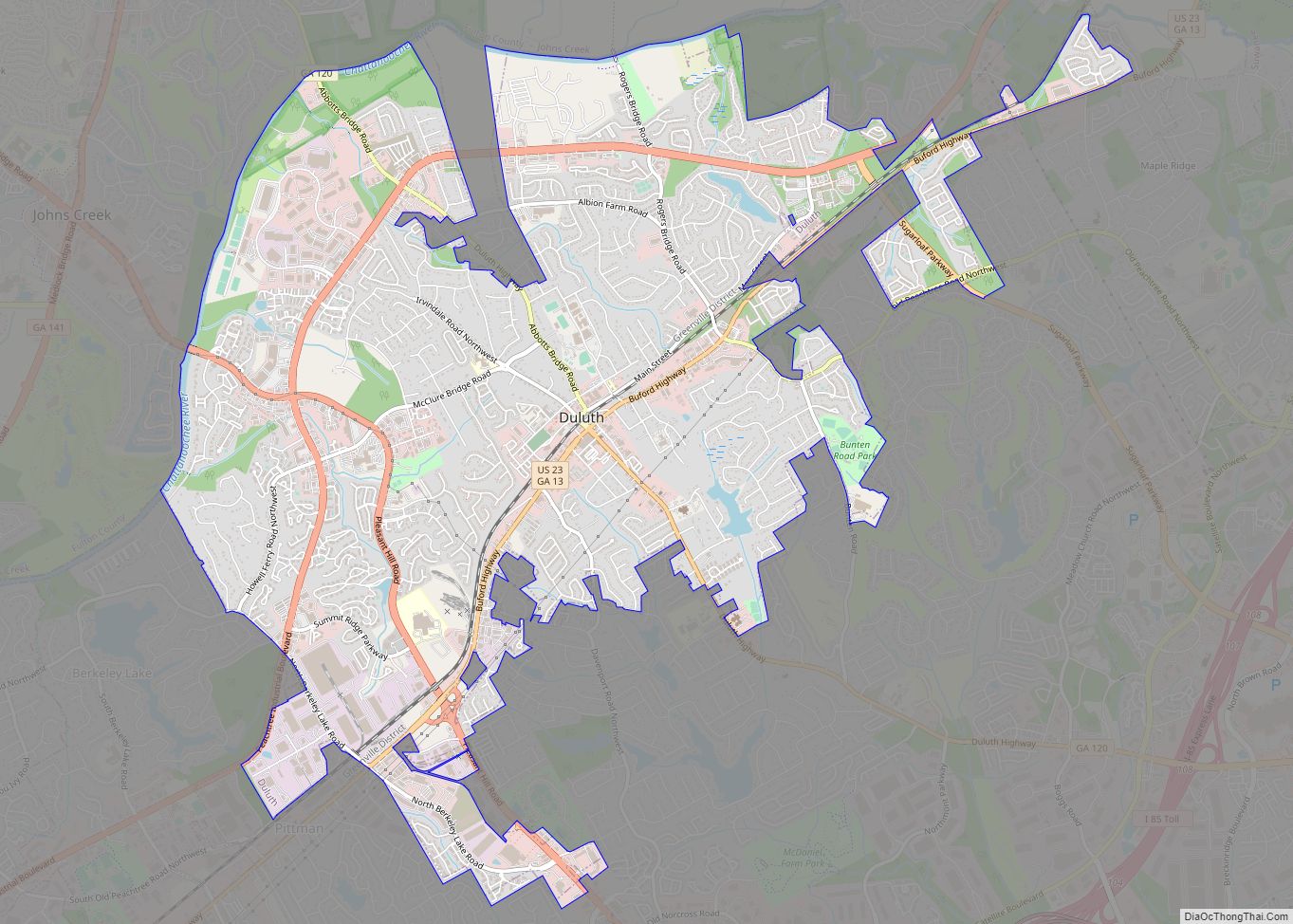
Peachtree Corners is located in the western corner of Gwinnett County, 21 miles (33 km) from downtown Atlanta. Seven miles of the Chattahoochee River define the northern and western border of Peachtree Corners, and it is bordered by the cities of Dunwoody, Doraville, and Sandy Springs (DeKalb and Fulton counties) on the west, Buford Highway and Norcross city limits on the south, Roswell and Johns Creek (both in Fulton County) across the Chattahoochee River on the north, and the city limits of Berkeley Lake and Duluth on the east.
See also
Map of Georgia State and its subdivision:- Appling
- Atkinson
- Bacon
- Baker
- Baldwin
- Banks
- Barrow
- Bartow
- Ben Hill
- Berrien
- Bibb
- Bleckley
- Brantley
- Brooks
- Bryan
- Bulloch
- Burke
- Butts
- Calhoun
- Camden
- Candler
- Carroll
- Catoosa
- Charlton
- Chatham
- Chattahoochee
- Chattooga
- Cherokee
- Clarke
- Clay
- Clayton
- Clinch
- Cobb
- Coffee
- Colquitt
- Columbia
- Cook
- Coweta
- Crawford
- Crisp
- Dade
- Dawson
- Decatur
- DeKalb
- Dodge
- Dooly
- Dougherty
- Douglas
- Early
- Echols
- Effingham
- Elbert
- Emanuel
- Evans
- Fannin
- Fayette
- Floyd
- Forsyth
- Franklin
- Fulton
- Gilmer
- Glascock
- Glynn
- Gordon
- Grady
- Greene
- Gwinnett
- Habersham
- Hall
- Hancock
- Haralson
- Harris
- Hart
- Heard
- Henry
- Houston
- Irwin
- Jackson
- Jasper
- Jeff Davis
- Jefferson
- Jenkins
- Johnson
- Jones
- Lamar
- Lanier
- Laurens
- Lee
- Liberty
- Lincoln
- Long
- Lowndes
- Lumpkin
- Macon
- Madison
- Marion
- McDuffie
- McIntosh
- Meriwether
- Miller
- Mitchell
- Monroe
- Montgomery
- Morgan
- Murray
- Muscogee
- Newton
- Oconee
- Oglethorpe
- Paulding
- Peach
- Pickens
- Pierce
- Pike
- Polk
- Pulaski
- Putnam
- Quitman
- Rabun
- Randolph
- Richmond
- Rockdale
- Schley
- Screven
- Seminole
- Spalding
- Stephens
- Stewart
- Sumter
- Talbot
- Taliaferro
- Tattnall
- Taylor
- Telfair
- Terrell
- Thomas
- Tift
- Toombs
- Towns
- Treutlen
- Troup
- Turner
- Twiggs
- Union
- Upson
- Walker
- Walton
- Ware
- Warren
- Washington
- Wayne
- Webster
- Wheeler
- White
- Whitfield
- Wilcox
- Wilkes
- Wilkinson
- Worth
- Alabama
- Alaska
- Arizona
- Arkansas
- California
- Colorado
- Connecticut
- Delaware
- District of Columbia
- Florida
- Georgia
- Hawaii
- Idaho
- Illinois
- Indiana
- Iowa
- Kansas
- Kentucky
- Louisiana
- Maine
- Maryland
- Massachusetts
- Michigan
- Minnesota
- Mississippi
- Missouri
- Montana
- Nebraska
- Nevada
- New Hampshire
- New Jersey
- New Mexico
- New York
- North Carolina
- North Dakota
- Ohio
- Oklahoma
- Oregon
- Pennsylvania
- Rhode Island
- South Carolina
- South Dakota
- Tennessee
- Texas
- Utah
- Vermont
- Virginia
- Washington
- West Virginia
- Wisconsin
- Wyoming