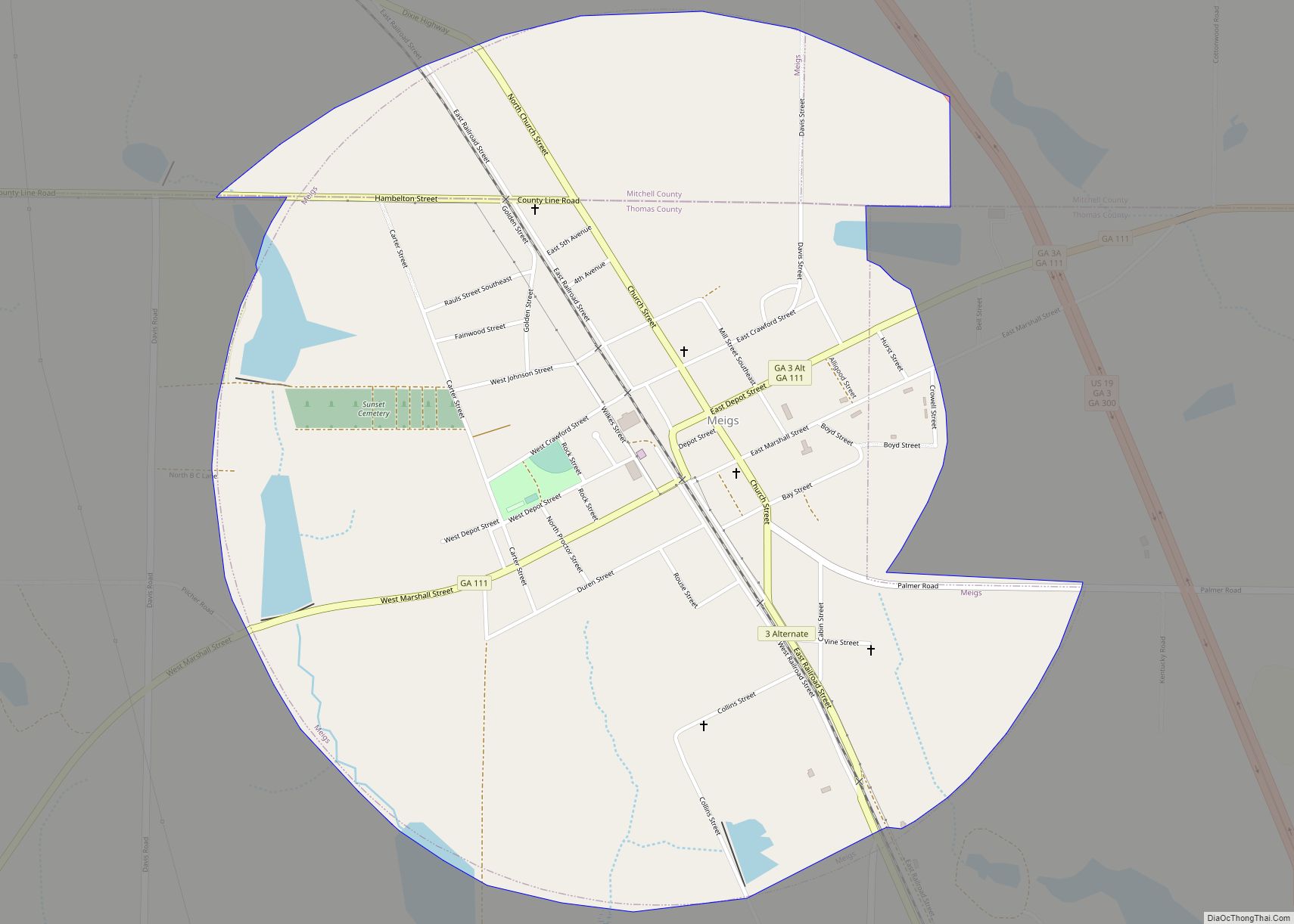
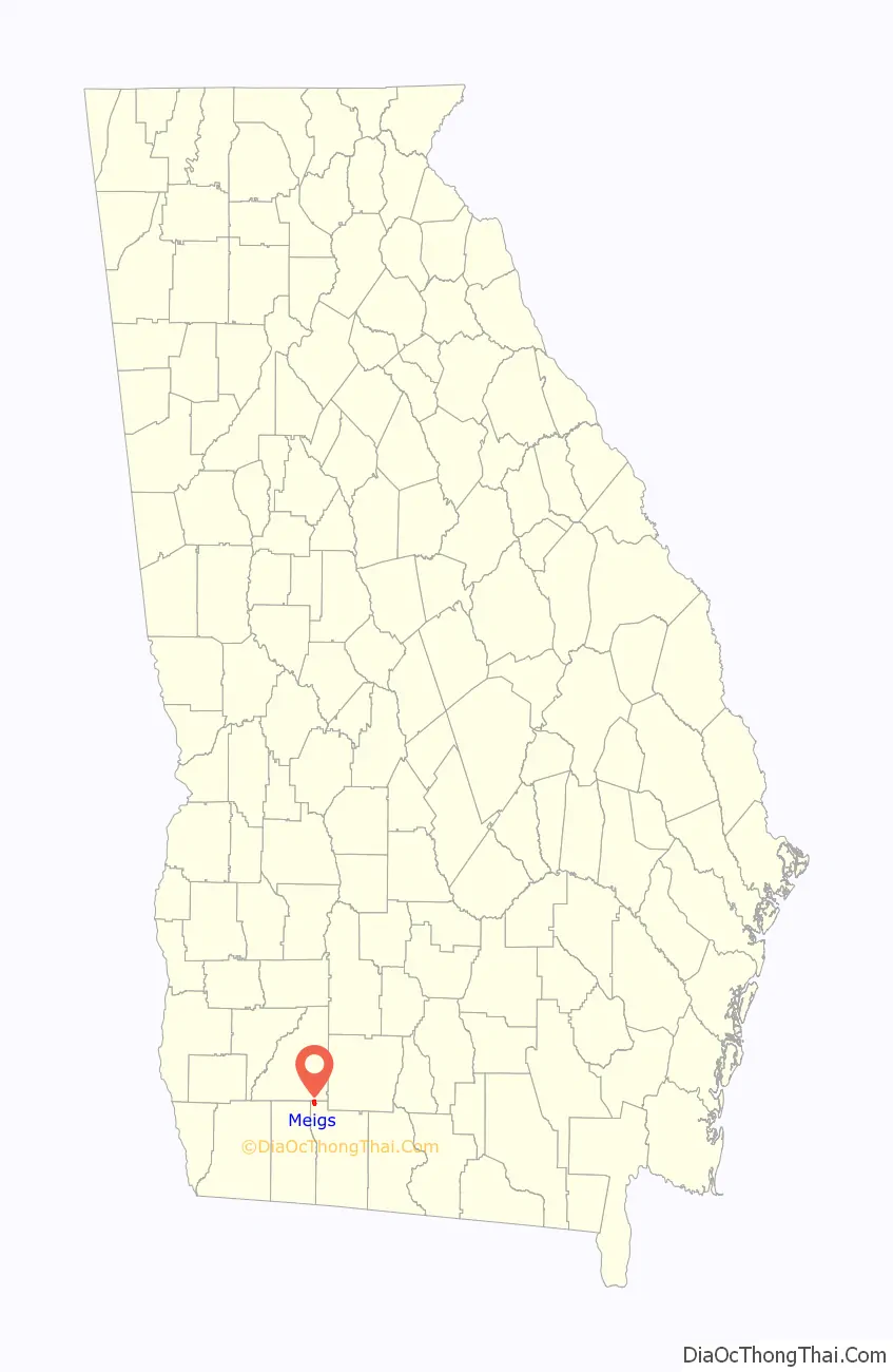
Meigs is a city in Thomas County, Georgia, United States, with a small portion extending north into Mitchell County. The population was 928 at the 2020 census, down from 1,035 in 2010.
| Name: | Meigs city |
|---|---|
| LSAD Code: | 25 |
| LSAD Description: | city (suffix) |
| State: | Georgia |
| County: | Mitchell County, Thomas County |
| Elevation: | 341 ft (104 m) |
| Total Area: | 1.60 sq mi (4.14 km²) |
| Land Area: | 1.56 sq mi (4.03 km²) |
| Water Area: | 0.04 sq mi (0.11 km²) |
| Total Population: | 928 |
| Population Density: | 596.40/sq mi (230.30/km²) |
| ZIP code: | 31765 |
| Area code: | 229 |
| FIPS code: | 1350680 |
| GNISfeature ID: | 0318004 |
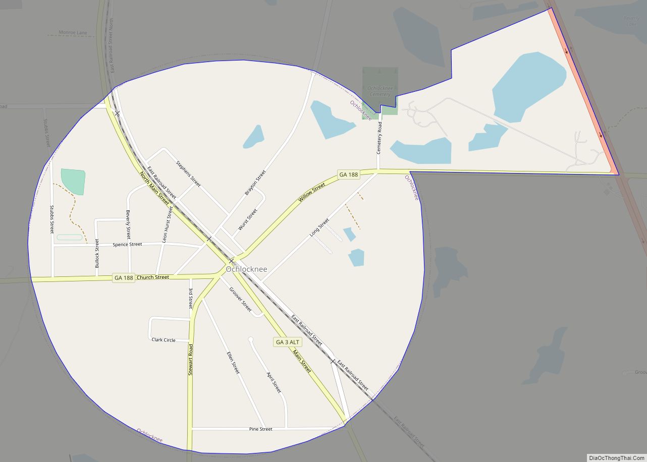
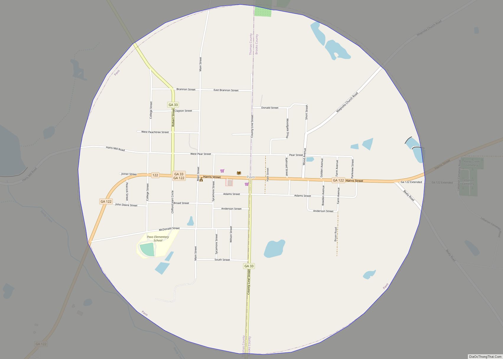
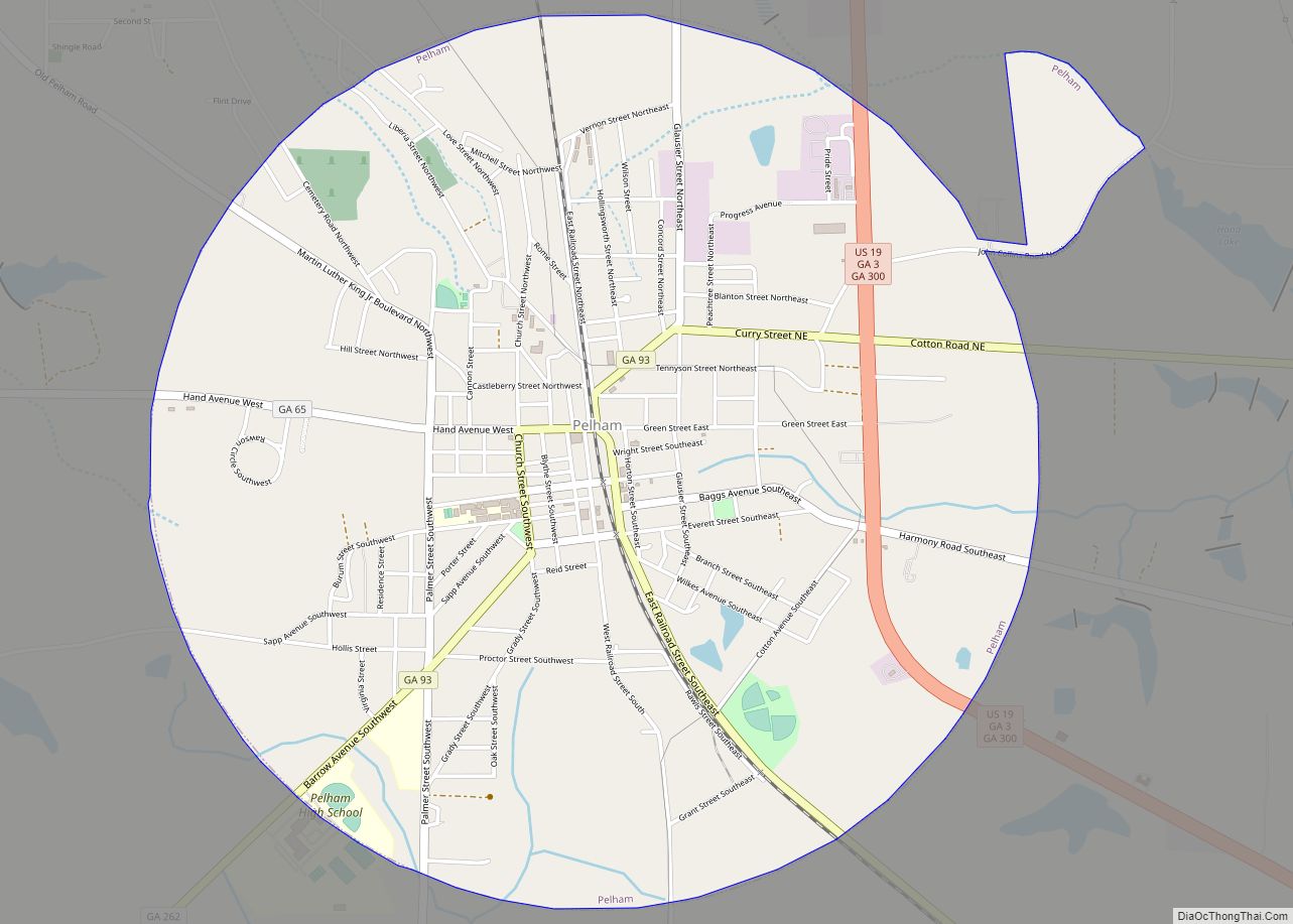
Online Interactive Map
Click on ![]() to view map in "full screen" mode.
to view map in "full screen" mode.
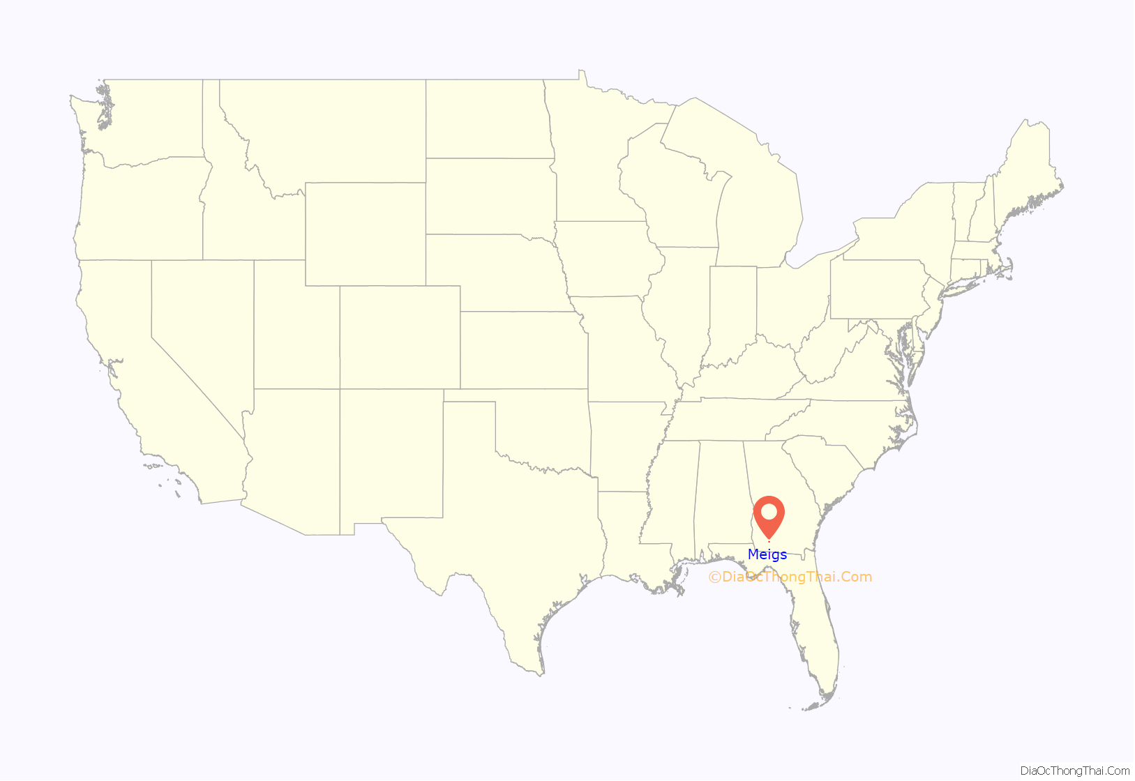
Meigs location map. Where is Meigs city?
History
The Georgia General Assembly incorporated Meigs as a town in 1889. The city is named after Josiah Meigs (1757–1822), American college professor, journalist, and president of the University of Georgia.
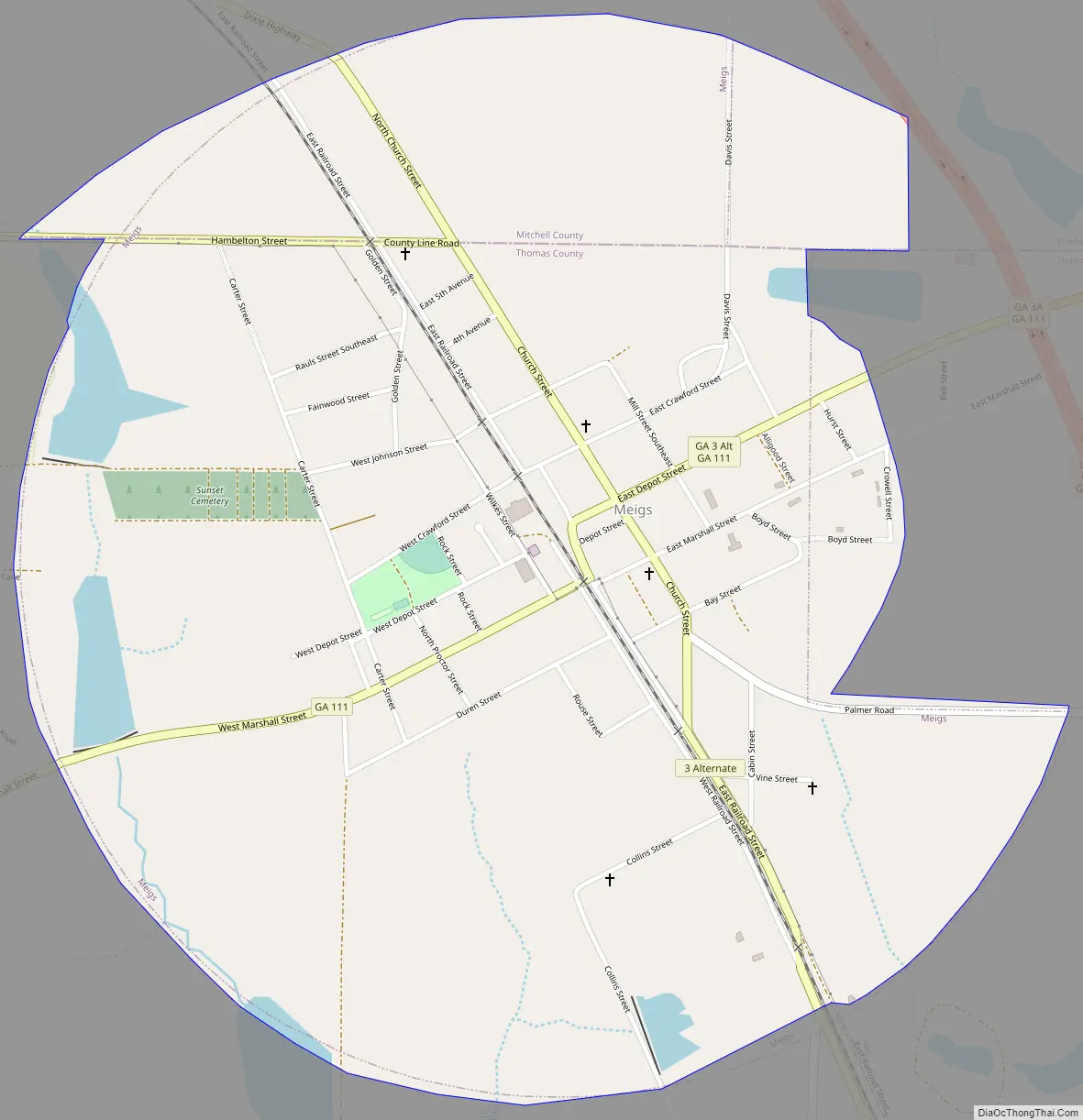
Meigs Road Map
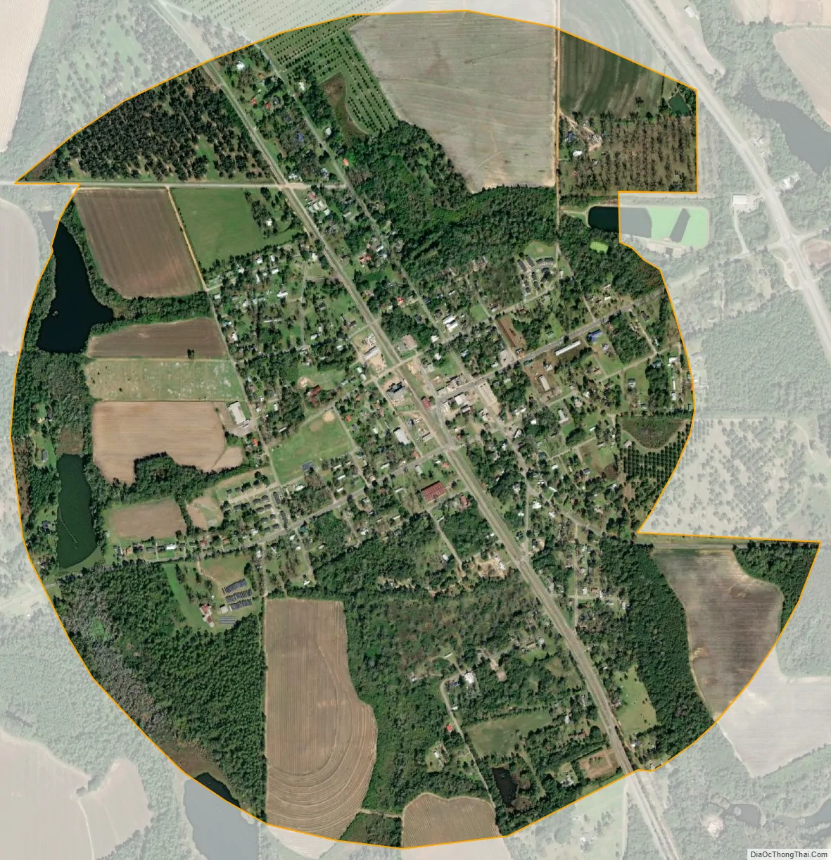
Meigs city Satellite Map
Geography
Meigs is located in northwestern Thomas County at 31°4′22″N 84°5′28″W / 31.07278°N 84.09111°W / 31.07278; -84.09111 (31.072664, -84.090988). A small portion of Mitchell County within 4,000 feet (1,200 m) of the center of town is also within the city limits.
According to the United States Census Bureau, the city has a total area of 1.6 square miles (4.1 km), of which 1.6 square miles (4.1 km) are land and 0.04 square miles (0.10 km), or 2.75%, are water.
U.S. Route 19 passes just east of the city limits, leading southeast 19 miles (31 km) to Thomasville, the Thomas county seat, and northwest 5 miles (8 km) to Pelham. Georgia State Route 111 passes through the center of Meigs on Marshall Street and Depot Street; it leads northeast 20 miles (32 km) to Moultrie and southwest 16 miles (26 km) to Cairo.
See also
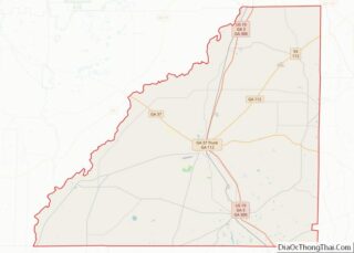
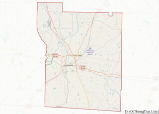
Map of Georgia State and its subdivision:- Appling
- Atkinson
- Bacon
- Baker
- Baldwin
- Banks
- Barrow
- Bartow
- Ben Hill
- Berrien
- Bibb
- Bleckley
- Brantley
- Brooks
- Bryan
- Bulloch
- Burke
- Butts
- Calhoun
- Camden
- Candler
- Carroll
- Catoosa
- Charlton
- Chatham
- Chattahoochee
- Chattooga
- Cherokee
- Clarke
- Clay
- Clayton
- Clinch
- Cobb
- Coffee
- Colquitt
- Columbia
- Cook
- Coweta
- Crawford
- Crisp
- Dade
- Dawson
- Decatur
- DeKalb
- Dodge
- Dooly
- Dougherty
- Douglas
- Early
- Echols
- Effingham
- Elbert
- Emanuel
- Evans
- Fannin
- Fayette
- Floyd
- Forsyth
- Franklin
- Fulton
- Gilmer
- Glascock
- Glynn
- Gordon
- Grady
- Greene
- Gwinnett
- Habersham
- Hall
- Hancock
- Haralson
- Harris
- Hart
- Heard
- Henry
- Houston
- Irwin
- Jackson
- Jasper
- Jeff Davis
- Jefferson
- Jenkins
- Johnson
- Jones
- Lamar
- Lanier
- Laurens
- Lee
- Liberty
- Lincoln
- Long
- Lowndes
- Lumpkin
- Macon
- Madison
- Marion
- McDuffie
- McIntosh
- Meriwether
- Miller
- Mitchell
- Monroe
- Montgomery
- Morgan
- Murray
- Muscogee
- Newton
- Oconee
- Oglethorpe
- Paulding
- Peach
- Pickens
- Pierce
- Pike
- Polk
- Pulaski
- Putnam
- Quitman
- Rabun
- Randolph
- Richmond
- Rockdale
- Schley
- Screven
- Seminole
- Spalding
- Stephens
- Stewart
- Sumter
- Talbot
- Taliaferro
- Tattnall
- Taylor
- Telfair
- Terrell
- Thomas
- Tift
- Toombs
- Towns
- Treutlen
- Troup
- Turner
- Twiggs
- Union
- Upson
- Walker
- Walton
- Ware
- Warren
- Washington
- Wayne
- Webster
- Wheeler
- White
- Whitfield
- Wilcox
- Wilkes
- Wilkinson
- Worth
- Alabama
- Alaska
- Arizona
- Arkansas
- California
- Colorado
- Connecticut
- Delaware
- District of Columbia
- Florida
- Georgia
- Hawaii
- Idaho
- Illinois
- Indiana
- Iowa
- Kansas
- Kentucky
- Louisiana
- Maine
- Maryland
- Massachusetts
- Michigan
- Minnesota
- Mississippi
- Missouri
- Montana
- Nebraska
- Nevada
- New Hampshire
- New Jersey
- New Mexico
- New York
- North Carolina
- North Dakota
- Ohio
- Oklahoma
- Oregon
- Pennsylvania
- Rhode Island
- South Carolina
- South Dakota
- Tennessee
- Texas
- Utah
- Vermont
- Virginia
- Washington
- West Virginia
- Wisconsin
- Wyoming