North Decatur is a census-designated place (CDP) in DeKalb County, Georgia, United States. The population was 16,698 at the 2010 census.
| Name: | North Decatur CDP |
|---|---|
| LSAD Code: | 57 |
| LSAD Description: | CDP (suffix) |
| State: | Georgia |
| County: | DeKalb County |
| Elevation: | 994 ft (303 m) |
| Total Area: | 4.91 sq mi (12.72 km²) |
| Land Area: | 4.91 sq mi (12.72 km²) |
| Water Area: | 0.00 sq mi (0.00 km²) |
| Total Population: | 18,511 |
| Population Density: | 3,769.29/sq mi (1,455.25/km²) |
| ZIP code: | 30033 |
| Area code: | 404 770 |
| FIPS code: | 1356112 |
| GNISfeature ID: | 0332514 |
Online Interactive Map
Click on ![]() to view map in "full screen" mode.
to view map in "full screen" mode.
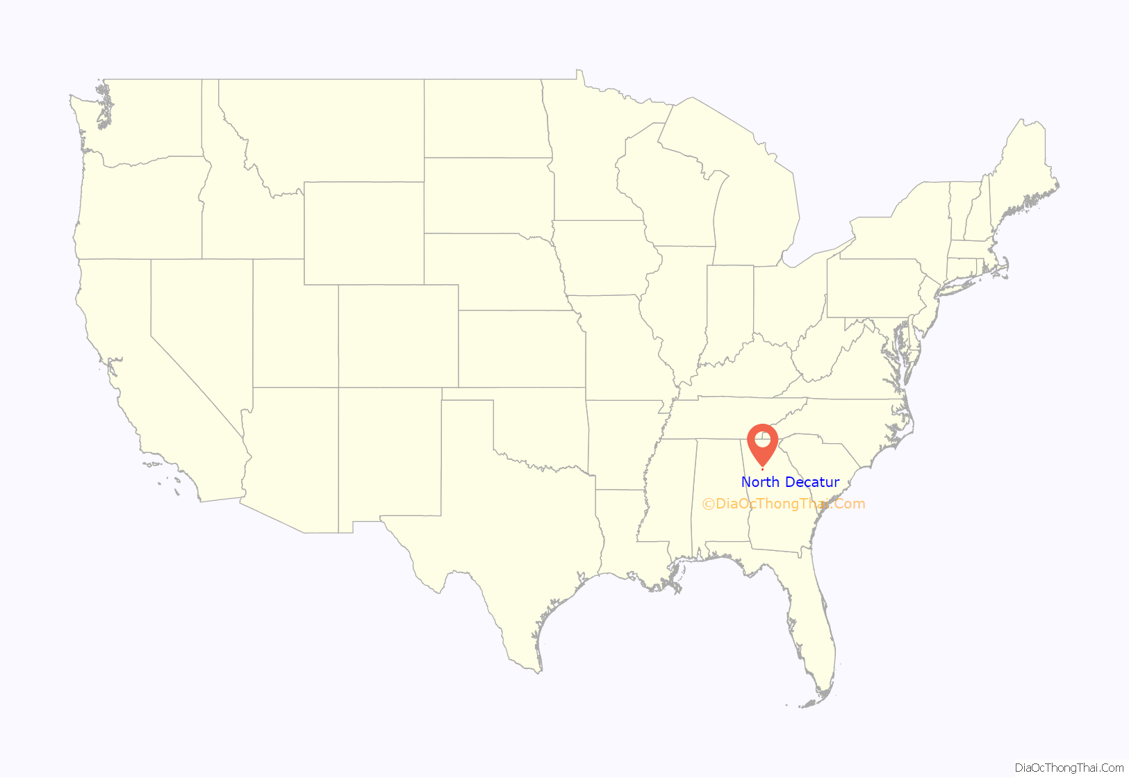
North Decatur location map. Where is North Decatur CDP?
History
An early settler in this part of DeKalb County was Chapman Powell, whose “Medicine House” cabin was built near 1218 Clairmont Road. (It has been preserved and relocated to Stone Mountain Park.) Dr. Powell (1798-1870) owned most of the land in the Candler Lake and South Fork Peachtree Creek area during his lifetime. His land was later purchased by Walter Candler.
Ezekiel Mason built a mill on the east side of Clairmont Road on Burnt Fork Creek. DeKalb County’s Mason Mill Park, as well as local eatery Mason Tavern, are named after Ezekiel Mason.
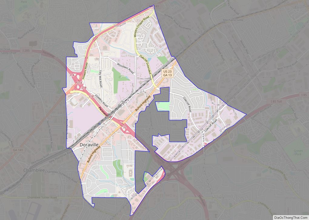
North Decatur Road Map
North Decatur city Satellite Map
Geography
North Decatur is located at 33°48′11″N 84°17′24″W / 33.80306°N 84.29000°W / 33.80306; -84.29000 (33.803054, -84.290123).
According to the United States Census Bureau, the CDP has a total area of 5.0 square miles (12.9 km), all land. The North Decatur CDP’s boundaries are:
- South: the city of Decatur
- West: CSX railroad and Clairmont Road, across which are the North Druid Hills and Druid Hills CDPs
- North: LaVista Road and Pangborn Road, across which are neighborhoods mostly inside the Tucker CCD
- East: Lawrenceville Highway and DeKalb Industrial Way, across which is mostly the Scottdale CDP.
There is no true center to North Decatur; there are three commercial clusters at corners of the CDP:
- The student-oriented commercial district at Clairmont Road and North Decatur Road at the southwest corner of the CDP
- the Toco Hills retail cluster at North Druid Hills Road and Lavista Road at the northwest corner, and
- North DeKalb Mall and adjacent shopping centers along Lawrenceville Highway at the northeast corner of the district.
Toco Hills, a de facto commercial center for several CDPs north of the city of Decatur, has grown from a country store in 1950, with a single gas pump and a pot-bellied stove, to multiple shopping centers, coffee houses, houses of worship and townhouses.
North Decatur primarily consists of 1950s and 1960s-era ranch homes, although condominiums are increasingly being developed in this community. Its proximity to Atlanta’s Midtown and Buckhead districts, as well as Emory University and Decatur, makes it a desirable “in-town” location for what was originally developed as a suburban community.
See also
Map of Georgia State and its subdivision:- Appling
- Atkinson
- Bacon
- Baker
- Baldwin
- Banks
- Barrow
- Bartow
- Ben Hill
- Berrien
- Bibb
- Bleckley
- Brantley
- Brooks
- Bryan
- Bulloch
- Burke
- Butts
- Calhoun
- Camden
- Candler
- Carroll
- Catoosa
- Charlton
- Chatham
- Chattahoochee
- Chattooga
- Cherokee
- Clarke
- Clay
- Clayton
- Clinch
- Cobb
- Coffee
- Colquitt
- Columbia
- Cook
- Coweta
- Crawford
- Crisp
- Dade
- Dawson
- Decatur
- DeKalb
- Dodge
- Dooly
- Dougherty
- Douglas
- Early
- Echols
- Effingham
- Elbert
- Emanuel
- Evans
- Fannin
- Fayette
- Floyd
- Forsyth
- Franklin
- Fulton
- Gilmer
- Glascock
- Glynn
- Gordon
- Grady
- Greene
- Gwinnett
- Habersham
- Hall
- Hancock
- Haralson
- Harris
- Hart
- Heard
- Henry
- Houston
- Irwin
- Jackson
- Jasper
- Jeff Davis
- Jefferson
- Jenkins
- Johnson
- Jones
- Lamar
- Lanier
- Laurens
- Lee
- Liberty
- Lincoln
- Long
- Lowndes
- Lumpkin
- Macon
- Madison
- Marion
- McDuffie
- McIntosh
- Meriwether
- Miller
- Mitchell
- Monroe
- Montgomery
- Morgan
- Murray
- Muscogee
- Newton
- Oconee
- Oglethorpe
- Paulding
- Peach
- Pickens
- Pierce
- Pike
- Polk
- Pulaski
- Putnam
- Quitman
- Rabun
- Randolph
- Richmond
- Rockdale
- Schley
- Screven
- Seminole
- Spalding
- Stephens
- Stewart
- Sumter
- Talbot
- Taliaferro
- Tattnall
- Taylor
- Telfair
- Terrell
- Thomas
- Tift
- Toombs
- Towns
- Treutlen
- Troup
- Turner
- Twiggs
- Union
- Upson
- Walker
- Walton
- Ware
- Warren
- Washington
- Wayne
- Webster
- Wheeler
- White
- Whitfield
- Wilcox
- Wilkes
- Wilkinson
- Worth
- Alabama
- Alaska
- Arizona
- Arkansas
- California
- Colorado
- Connecticut
- Delaware
- District of Columbia
- Florida
- Georgia
- Hawaii
- Idaho
- Illinois
- Indiana
- Iowa
- Kansas
- Kentucky
- Louisiana
- Maine
- Maryland
- Massachusetts
- Michigan
- Minnesota
- Mississippi
- Missouri
- Montana
- Nebraska
- Nevada
- New Hampshire
- New Jersey
- New Mexico
- New York
- North Carolina
- North Dakota
- Ohio
- Oklahoma
- Oregon
- Pennsylvania
- Rhode Island
- South Carolina
- South Dakota
- Tennessee
- Texas
- Utah
- Vermont
- Virginia
- Washington
- West Virginia
- Wisconsin
- Wyoming


