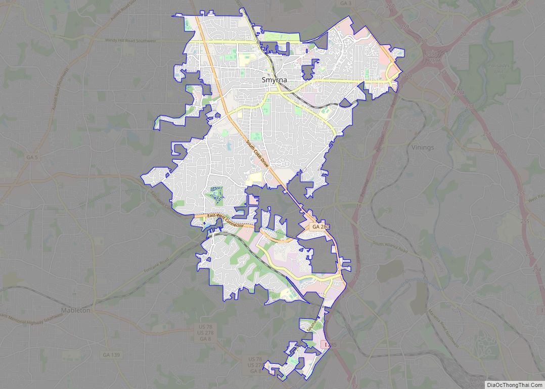
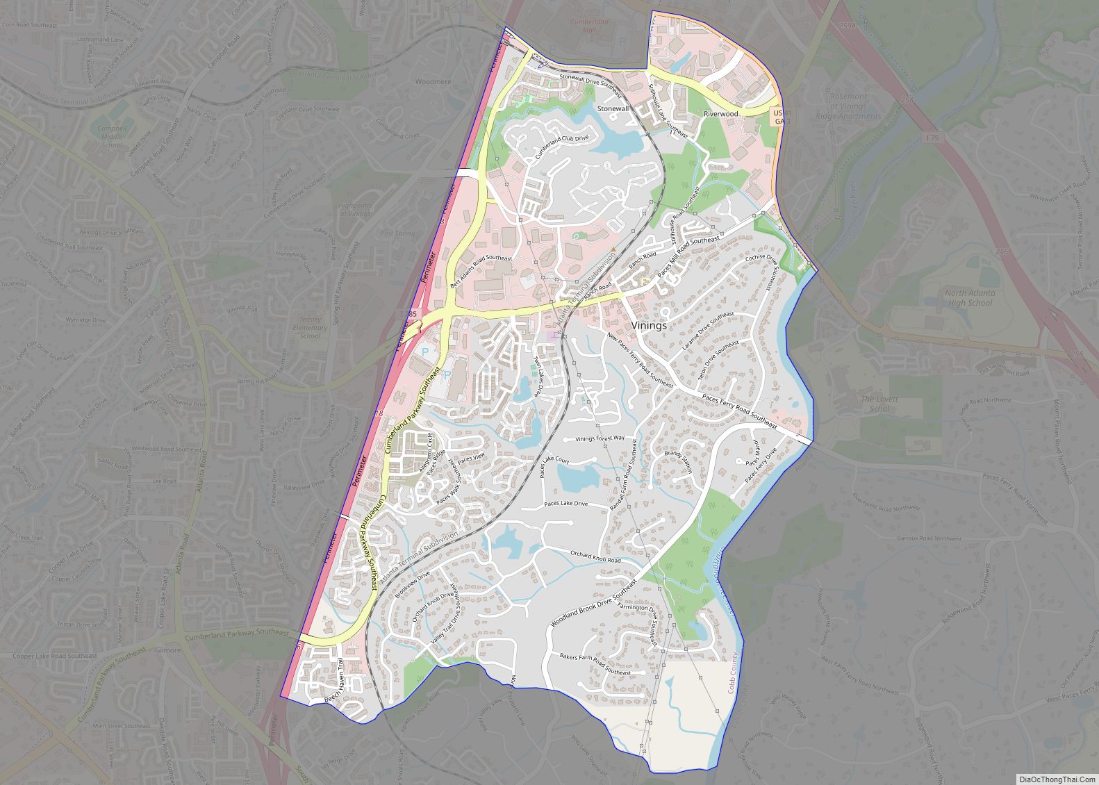
Vinings is a census-designated place (CDP) in Cobb County, Georgia, United States that runs along the Chattahoochee River bank across from Buckhead. As of the 2020 census, the CDP had a total population of 12,581. Located next to the affluent Paces section of Buckhead in northwest Atlanta, Vinings is known for its historic sites, shopping districts, proximity to local freeways and The Battery, and nearby nature areas. The United States Postal Service assigns “Atlanta” to the ZIP Code (30339) that includes Vinings (area of Cobb County between Interstate 285 and the Chattahoochee River).
The Home Depot is headquartered in Vinings.
| Name: | Vinings CDP |
|---|---|
| LSAD Code: | 57 |
| LSAD Description: | CDP (suffix) |
| State: | Georgia |
| County: | Cobb County |
| Elevation: | 915 ft (279 m) |
| Total Area: | 3.23 sq mi (8.37 km²) |
| Land Area: | 3.13 sq mi (8.10 km²) |
| Water Area: | 0.10 sq mi (0.27 km²) |
| Total Population: | 12,581 |
| Population Density: | 4,024.63/sq mi (1,553.80/km²) |
| ZIP code: | 30339 |
| Area code: | 770/678/470 |
| FIPS code: | 1379612 |
| GNISfeature ID: | 0356615 |
| Website: | http://www.vinings.com/ |
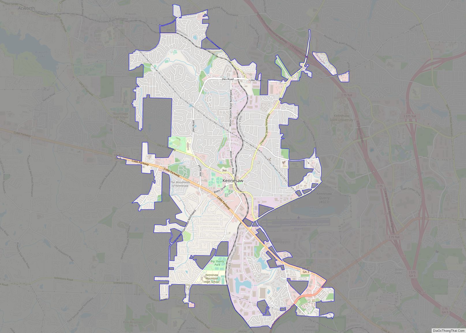
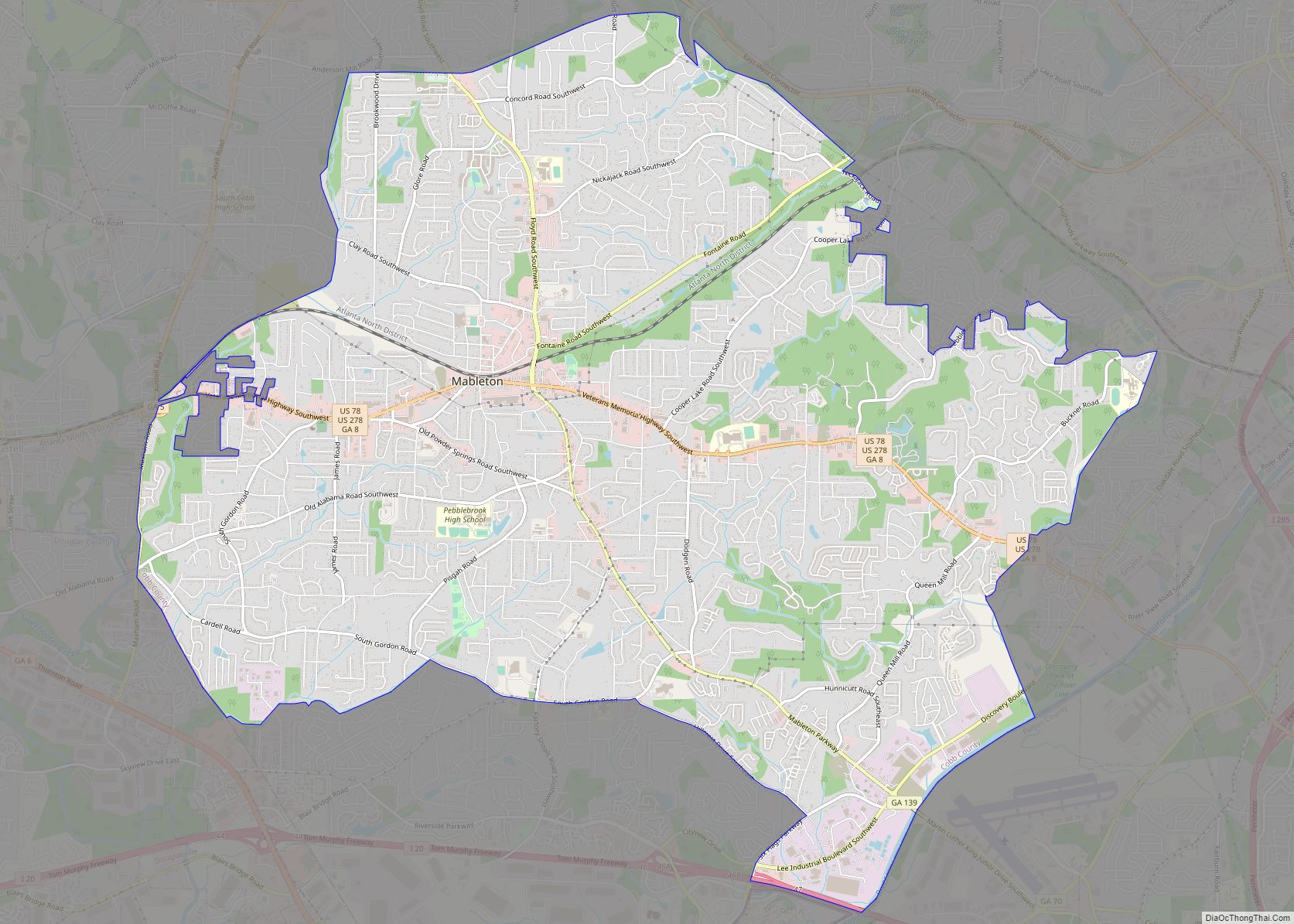
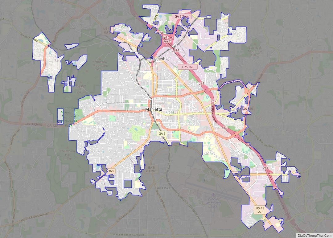
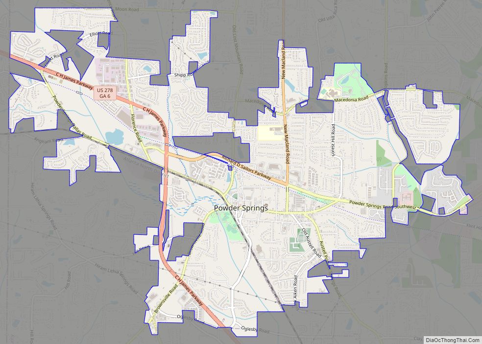
Online Interactive Map
Click on ![]() to view map in "full screen" mode.
to view map in "full screen" mode.
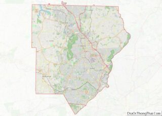
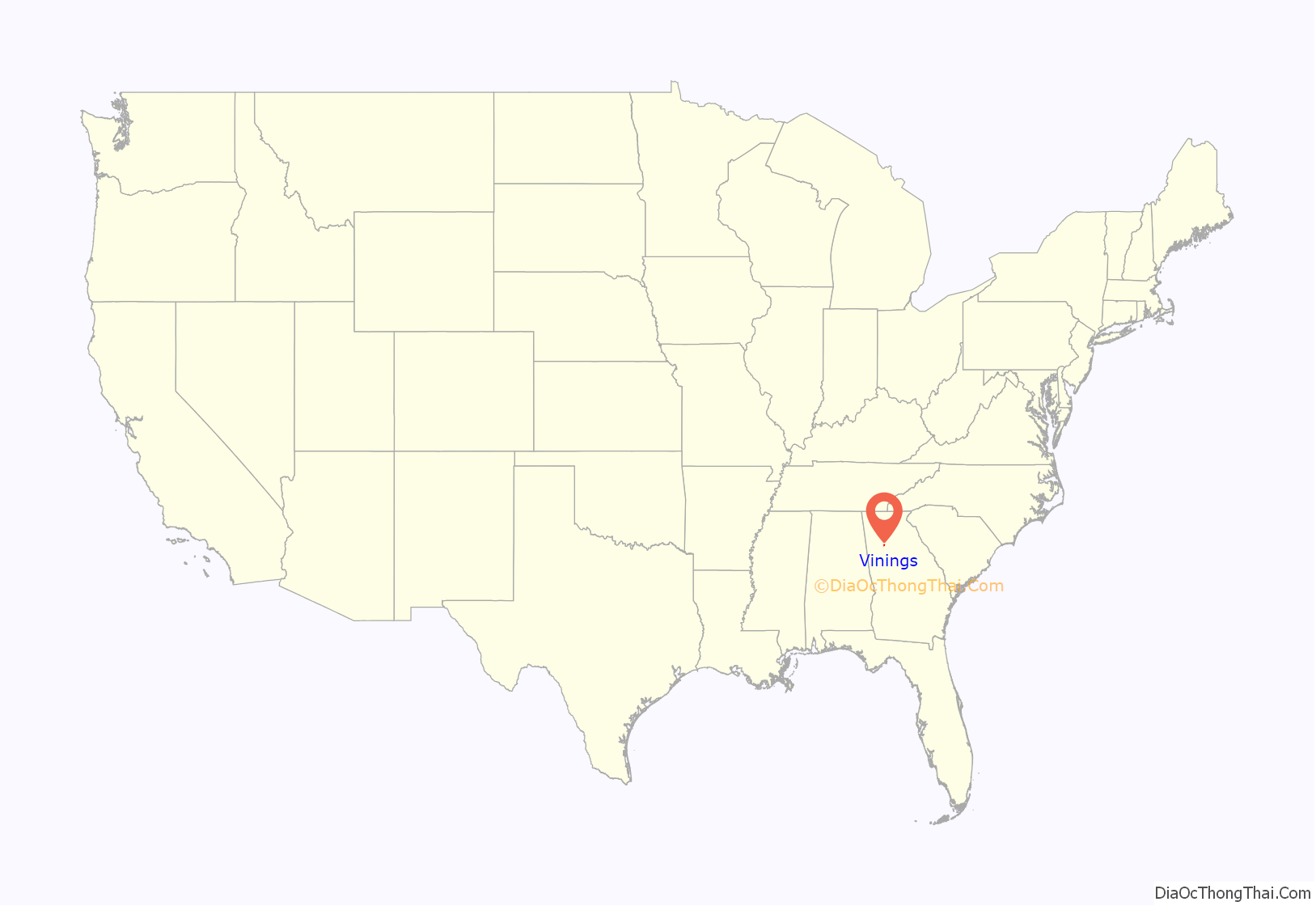
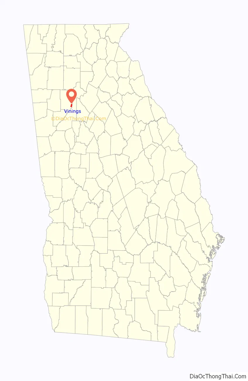
Vinings location map. Where is Vinings CDP?
History
Early on, Vinings was known as Crossroads, and then Paces, after Hardy Pace, circa 1830. He operated Pace’s Ferry across the Chattahoochee River, in this area between Atlanta, Buckhead, and Smyrna. Paces Ferry Road is still the main east–west road through Vinings. The Western and Atlantic Railroad laid rail tracks from Chattanooga, Tennessee to Atlanta in the 1840s. Vinings became a construction station for the railroad, and was inadvertently named for William H. Vining, as he worked on the railroad construction of “Vining’s Bridge” laying tracks in the area. The railroad is still state-owned as it was from the beginning, and is now leased to CSX.
The Union Army occupied the Vinings area during Sherman’s Atlanta Campaign of the American Civil War in 1864 and the subsequent March to the Sea. Pace’s home, which had been used as a hospital for Union troops, was destroyed in the process. Vinings recovered after the war, as Governor Brown leased the railroad to Vinings to bring passengers to the springs and pavilions built to encourage a respite from the reconstruction of Atlanta. Vinings was officially recognized as a community in 1904, the same year the one-lane bridge was constructed across the Chattahoochee River. The town was never incorporated, though it had been discussed whether it should become a “township”.
The Vinings Historic Preservation Society seeks to keep the town’s history alive.
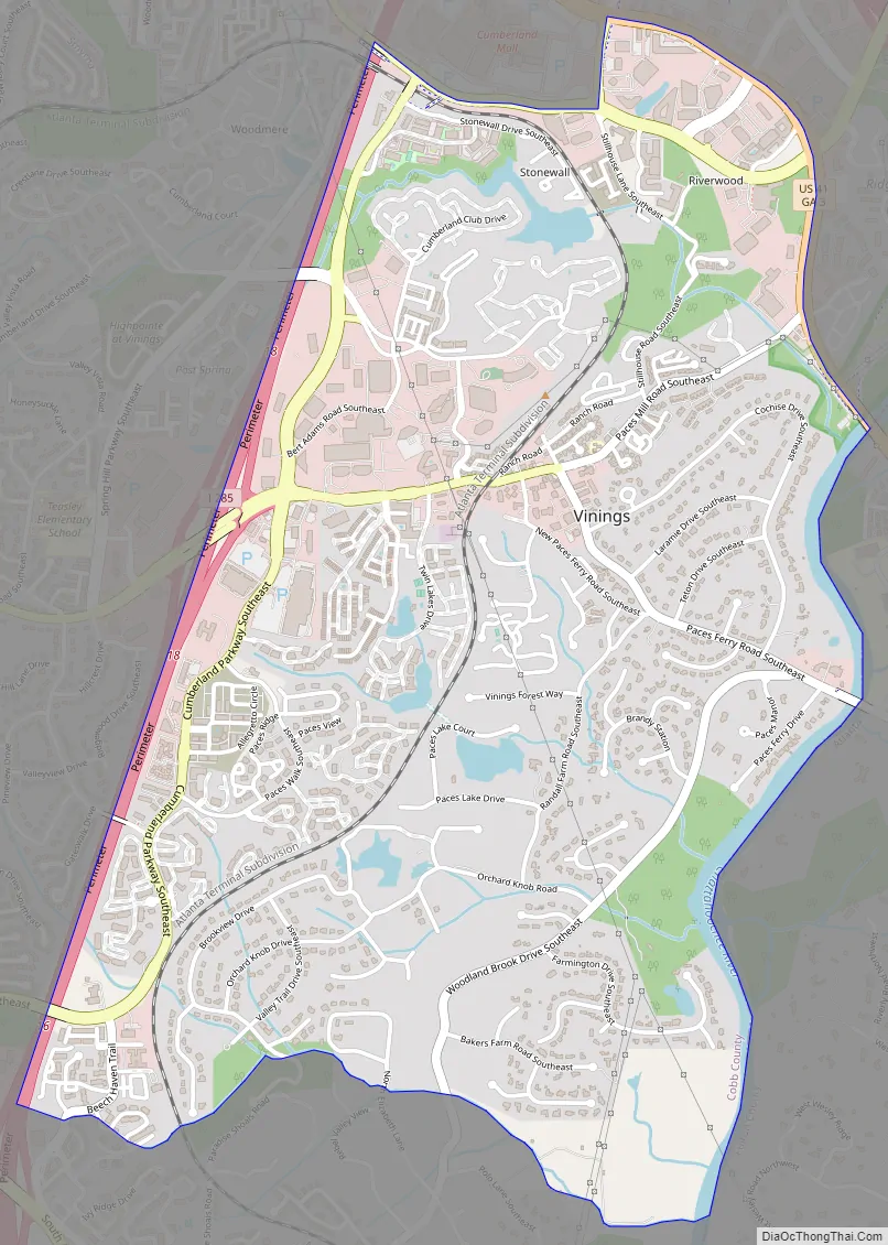
Vinings Road Map
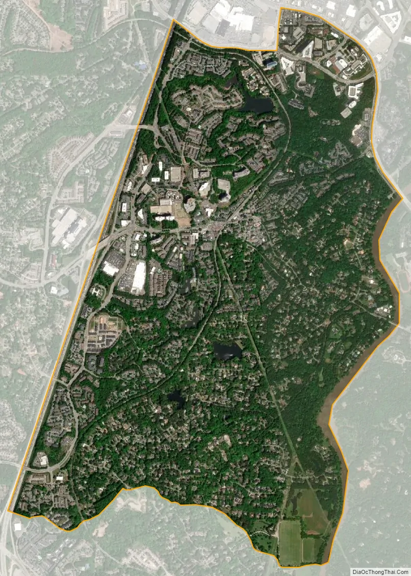
Vinings city Satellite Map
Geography
Vinings is located at 33°51′58.9″N 84°27′57.85″W / 33.866361°N 84.4660694°W / 33.866361; -84.4660694. According to the United States Census Bureau, the CDP has a total area of 3.3 square miles (8.5 km), of which 3.2 square miles (8.3 km) is land and 0.1 square miles (0.26 km), or 3.34%, is water.
See also
Map of Georgia State and its subdivision:- Appling
- Atkinson
- Bacon
- Baker
- Baldwin
- Banks
- Barrow
- Bartow
- Ben Hill
- Berrien
- Bibb
- Bleckley
- Brantley
- Brooks
- Bryan
- Bulloch
- Burke
- Butts
- Calhoun
- Camden
- Candler
- Carroll
- Catoosa
- Charlton
- Chatham
- Chattahoochee
- Chattooga
- Cherokee
- Clarke
- Clay
- Clayton
- Clinch
- Cobb
- Coffee
- Colquitt
- Columbia
- Cook
- Coweta
- Crawford
- Crisp
- Dade
- Dawson
- Decatur
- DeKalb
- Dodge
- Dooly
- Dougherty
- Douglas
- Early
- Echols
- Effingham
- Elbert
- Emanuel
- Evans
- Fannin
- Fayette
- Floyd
- Forsyth
- Franklin
- Fulton
- Gilmer
- Glascock
- Glynn
- Gordon
- Grady
- Greene
- Gwinnett
- Habersham
- Hall
- Hancock
- Haralson
- Harris
- Hart
- Heard
- Henry
- Houston
- Irwin
- Jackson
- Jasper
- Jeff Davis
- Jefferson
- Jenkins
- Johnson
- Jones
- Lamar
- Lanier
- Laurens
- Lee
- Liberty
- Lincoln
- Long
- Lowndes
- Lumpkin
- Macon
- Madison
- Marion
- McDuffie
- McIntosh
- Meriwether
- Miller
- Mitchell
- Monroe
- Montgomery
- Morgan
- Murray
- Muscogee
- Newton
- Oconee
- Oglethorpe
- Paulding
- Peach
- Pickens
- Pierce
- Pike
- Polk
- Pulaski
- Putnam
- Quitman
- Rabun
- Randolph
- Richmond
- Rockdale
- Schley
- Screven
- Seminole
- Spalding
- Stephens
- Stewart
- Sumter
- Talbot
- Taliaferro
- Tattnall
- Taylor
- Telfair
- Terrell
- Thomas
- Tift
- Toombs
- Towns
- Treutlen
- Troup
- Turner
- Twiggs
- Union
- Upson
- Walker
- Walton
- Ware
- Warren
- Washington
- Wayne
- Webster
- Wheeler
- White
- Whitfield
- Wilcox
- Wilkes
- Wilkinson
- Worth
- Alabama
- Alaska
- Arizona
- Arkansas
- California
- Colorado
- Connecticut
- Delaware
- District of Columbia
- Florida
- Georgia
- Hawaii
- Idaho
- Illinois
- Indiana
- Iowa
- Kansas
- Kentucky
- Louisiana
- Maine
- Maryland
- Massachusetts
- Michigan
- Minnesota
- Mississippi
- Missouri
- Montana
- Nebraska
- Nevada
- New Hampshire
- New Jersey
- New Mexico
- New York
- North Carolina
- North Dakota
- Ohio
- Oklahoma
- Oregon
- Pennsylvania
- Rhode Island
- South Carolina
- South Dakota
- Tennessee
- Texas
- Utah
- Vermont
- Virginia
- Washington
- West Virginia
- Wisconsin
- Wyoming