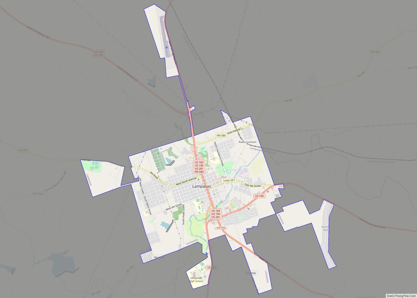
Lampasas (/læmˈpæsəs/ lam-PASS-əs) is a city in Lampasas County, Texas, United States. Its population was 7,291 at the 2020 census. It is the seat of Lampasas County.
Lampasas is part of the Killeen–Temple–Fort Hood metropolitan statistical area.
| Name: | Lampasas city |
|---|---|
| LSAD Code: | 25 |
| LSAD Description: | city (suffix) |
| State: | Texas |
| County: | Lampasas County |
| Incorporated: | 1883 |
| Elevation: | 1,027 ft (313 m) |
| Total Area: | 7.33 sq mi (18.98 km²) |
| Land Area: | 7.31 sq mi (18.94 km²) |
| Water Area: | 0.01 sq mi (0.04 km²) |
| Total Population: | 7,291 |
| Population Density: | 990/sq mi (380/km²) |
| ZIP code: | 76550 |
| Area code: | 512 |
| FIPS code: | 4841188 |
| GNISfeature ID: | 1360911 |
| Website: | www.cityoflampasas.com |
Online Interactive Map
Click on ![]() to view map in "full screen" mode.
to view map in "full screen" mode.
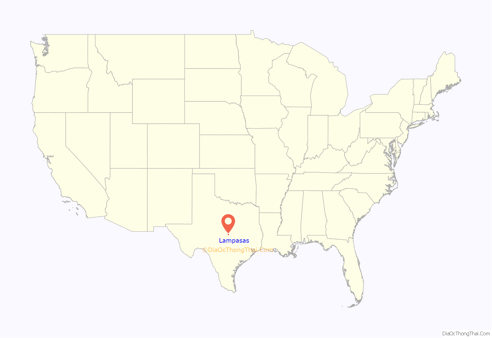
Lampasas location map. Where is Lampasas city?

History
For his services in the Texas Revolution, John Burleson received 1,280 acres (5.2 km) of land and established a permanent settlement in the 1850s. The city was first named Burleson, but the name was gradually changed to Lampasas Springs because of the existence of seven mineral springs. When the county was created in 1856, the law specified “The county seat shall be same name as the county.” The city of Lampasas was officially incorporated in 1883.
Several theories attempt to explain how the name Lampasas came to be. The Texas Almanac states the word came from a Spanish word for “lilies” found in nearby streams. Another source states the word comes from the Spanish name Lampazos. The name was given to the local river by the Spanish Aquayo Expedition in 1721. It is believed the name was inspired by a Mexican town that also had beautiful springs. The town was also the location of the birth of the Farmers’ Alliance, founded in 1876.
In the Mother’s Day Flood of 1957, Sulphur Creek, a local river, struck the city in devastating flash flood that claimed five lives and destroyed many homes, businesses, and other property around downtown Lampasas. In the aftermath, a series of levees and reservoirs was constructed to prevent damage from future catastrophes.
Since 1972, Lampasas has held an annual fair called the Spring Ho festival each July.[1]
Lampasas Road Map

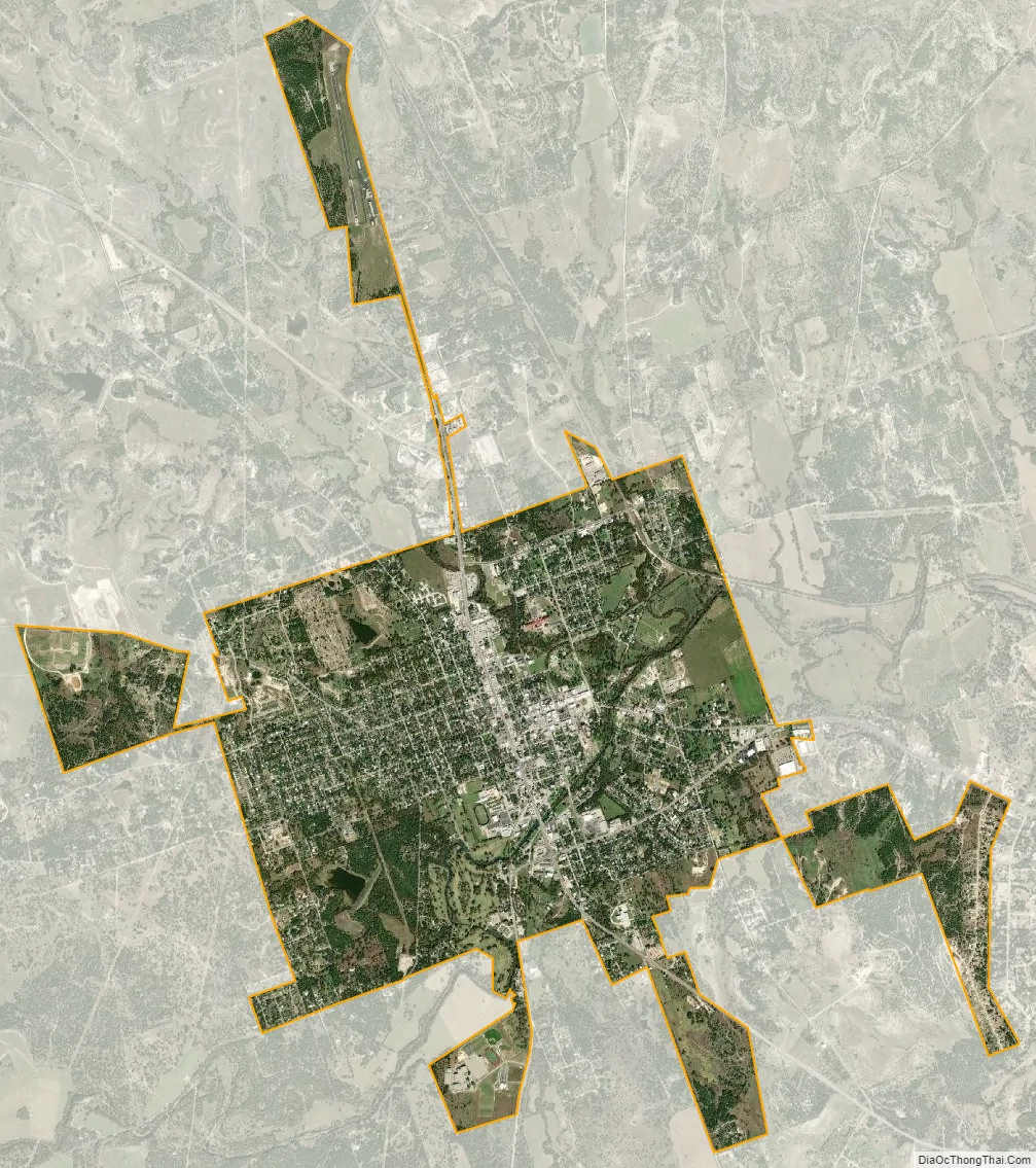
Lampasas city Satellite Map
Geography
Lampasas is located at 31°3′57″N 98°11′0″W / 31.06583°N 98.18333°W / 31.06583; -98.18333 (31.065868, –98.183444).
The most notable waterway is Sulphur Creek, which flows from the southwest to the northeast through the south-central part of the city.
According to the United States Census Bureau, the city has a total area of 6.3 square miles (16.1 km), of which 0.04 square miles (0.10 km) of it (0.64%) is covered by water.
See also
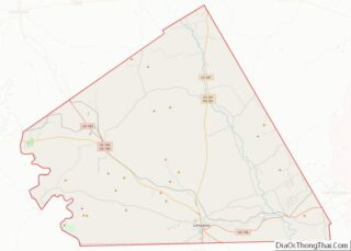
Map of Texas State and its subdivision:- Anderson
- Andrews
- Angelina
- Aransas
- Archer
- Armstrong
- Atascosa
- Austin
- Bailey
- Bandera
- Bastrop
- Baylor
- Bee
- Bell
- Bexar
- Blanco
- Borden
- Bosque
- Bowie
- Brazoria
- Brazos
- Brewster
- Briscoe
- Brooks
- Brown
- Burleson
- Burnet
- Caldwell
- Calhoun
- Callahan
- Cameron
- Camp
- Carson
- Cass
- Castro
- Chambers
- Cherokee
- Childress
- Clay
- Cochran
- Coke
- Coleman
- Collin
- Collingsworth
- Colorado
- Comal
- Comanche
- Concho
- Cooke
- Coryell
- Cottle
- Crane
- Crockett
- Crosby
- Culberson
- Dallam
- Dallas
- Dawson
- Deaf Smith
- Delta
- Denton
- Dewitt
- Dickens
- Dimmit
- Donley
- Duval
- Eastland
- Ector
- Edwards
- El Paso
- Ellis
- Erath
- Falls
- Fannin
- Fayette
- Fisher
- Floyd
- Foard
- Fort Bend
- Franklin
- Freestone
- Frio
- Gaines
- Galveston
- Garza
- Gillespie
- Glasscock
- Goliad
- Gonzales
- Gray
- Grayson
- Gregg
- Grimes
- Guadalupe
- Hale
- Hall
- Hamilton
- Hansford
- Hardeman
- Hardin
- Harris
- Harrison
- Hartley
- Haskell
- Hays
- Hemphill
- Henderson
- Hidalgo
- Hill
- Hockley
- Hood
- Hopkins
- Houston
- Howard
- Hudspeth
- Hunt
- Hutchinson
- Irion
- Jack
- Jackson
- Jasper
- Jeff Davis
- Jefferson
- Jim Hogg
- Jim Wells
- Johnson
- Jones
- Karnes
- Kaufman
- Kendall
- Kenedy
- Kent
- Kerr
- Kimble
- King
- Kinney
- Kleberg
- Knox
- La Salle
- Lamar
- Lamb
- Lampasas
- Lavaca
- Lee
- Leon
- Liberty
- Limestone
- Lipscomb
- Live Oak
- Llano
- Loving
- Lubbock
- Lynn
- Madison
- Marion
- Martin
- Mason
- Matagorda
- Maverick
- McCulloch
- McLennan
- McMullen
- Medina
- Menard
- Midland
- Milam
- Mills
- Mitchell
- Montague
- Montgomery
- Moore
- Morris
- Motley
- Nacogdoches
- Navarro
- Newton
- Nolan
- Nueces
- Ochiltree
- Oldham
- Orange
- Palo Pinto
- Panola
- Parker
- Parmer
- Pecos
- Polk
- Potter
- Presidio
- Rains
- Randall
- Reagan
- Real
- Red River
- Reeves
- Refugio
- Roberts
- Robertson
- Rockwall
- Runnels
- Rusk
- Sabine
- San Augustine
- San Jacinto
- San Patricio
- San Saba
- Schleicher
- Scurry
- Shackelford
- Shelby
- Sherman
- Smith
- Somervell
- Starr
- Stephens
- Sterling
- Stonewall
- Sutton
- Swisher
- Tarrant
- Taylor
- Terrell
- Terry
- Throckmorton
- Titus
- Tom Green
- Travis
- Trinity
- Tyler
- Upshur
- Upton
- Uvalde
- Val Verde
- Van Zandt
- Victoria
- Walker
- Waller
- Ward
- Washington
- Webb
- Wharton
- Wheeler
- Wichita
- Wilbarger
- Willacy
- Williamson
- Wilson
- Winkler
- Wise
- Wood
- Yoakum
- Young
- Zapata
- Zavala
- Alabama
- Alaska
- Arizona
- Arkansas
- California
- Colorado
- Connecticut
- Delaware
- District of Columbia
- Florida
- Georgia
- Hawaii
- Idaho
- Illinois
- Indiana
- Iowa
- Kansas
- Kentucky
- Louisiana
- Maine
- Maryland
- Massachusetts
- Michigan
- Minnesota
- Mississippi
- Missouri
- Montana
- Nebraska
- Nevada
- New Hampshire
- New Jersey
- New Mexico
- New York
- North Carolina
- North Dakota
- Ohio
- Oklahoma
- Oregon
- Pennsylvania
- Rhode Island
- South Carolina
- South Dakota
- Tennessee
- Texas
- Utah
- Vermont
- Virginia
- Washington
- West Virginia
- Wisconsin
- Wyoming