Aubrey is a city in Denton County, Texas, United States. The population was 5,006 at the 2020 census.
| Name: | Aubrey city |
|---|---|
| LSAD Code: | 25 |
| LSAD Description: | city (suffix) |
| State: | Texas |
| County: | Denton County |
| Elevation: | 676 ft (206 m) |
| Total Area: | 3.02 sq mi (7.82 km²) |
| Land Area: | 3.01 sq mi (7.79 km²) |
| Water Area: | 0.01 sq mi (0.03 km²) |
| Total Population: | 5,006 |
| Population Density: | 1,627.33/sq mi (628.24/km²) |
| ZIP code: | 76227 |
| Area code: | 940 |
| FIPS code: | 4804600 |
| GNISfeature ID: | 2409753 |
| Website: | www.ci.aubrey.tx.us |
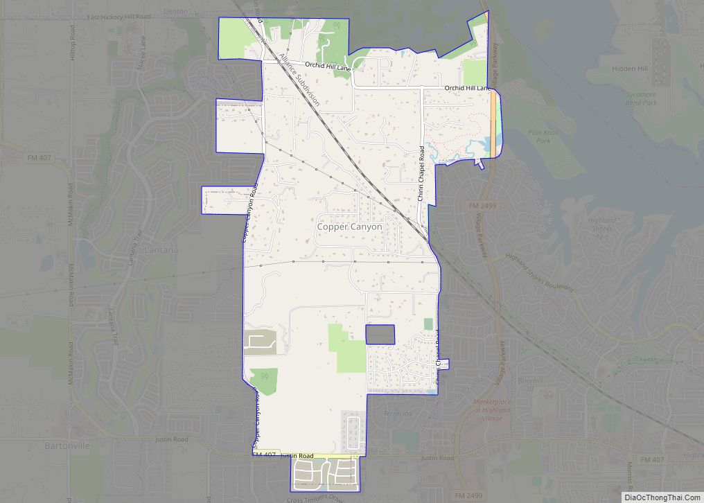
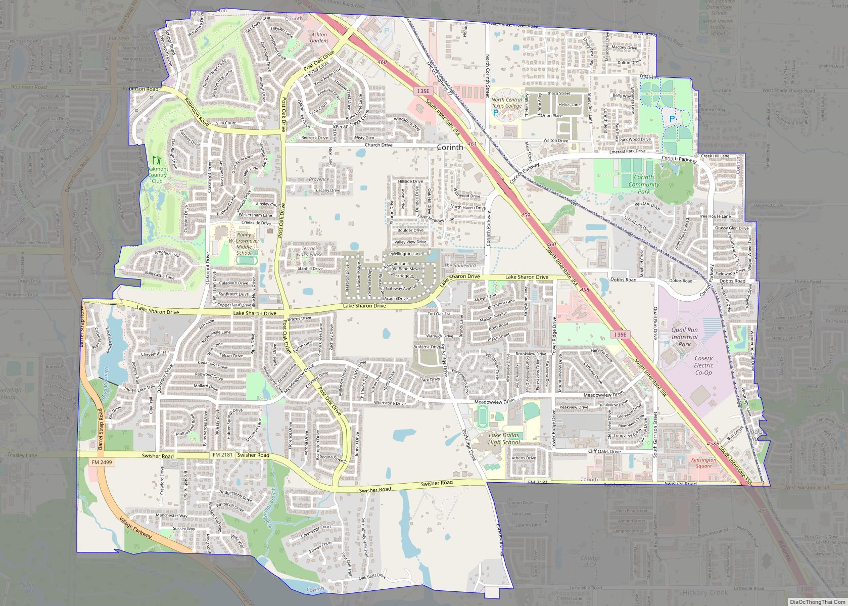
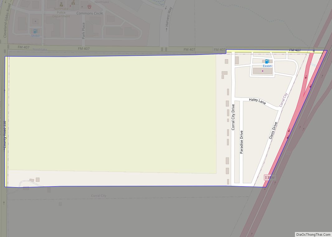
Online Interactive Map
Click on ![]() to view map in "full screen" mode.
to view map in "full screen" mode.
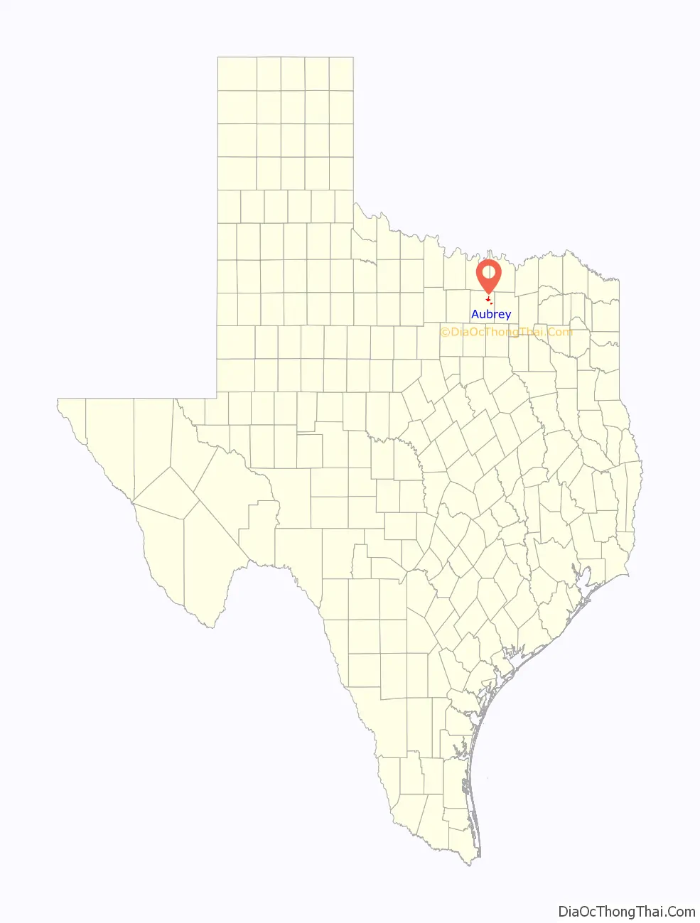
Aubrey location map. Where is Aubrey city?

History
Aubrey, the town, was officially founded 1867, when Civil War veteran Lemuel Noah Edwards (1838–1910) built the second frame house there. Edwards eventually gave each of his 10 children a lot on which to build a home. The Edwards family was instrumental in several civil developments. Dancing was not allowed, but the townspeople often gathered in the Edwards home for singing and listening to music performed on an organ that Edwards had imported.
In 1881, the Texas and Pacific Railway completed a track and station in Aubrey and commenced operations.
In 1885, Edwards offered a lot to each congregation that would build a church within a year. In 1882 Edwards and Louis Caddel Sr. donated land for a one-room schoolhouse in town. Edwards, through one of his daughters—Edna Mae Edwards (1884–1975), who married Hugh Tobin (1884–1929)—was the grandfather of Louise Tobin, a prolific big band jazz vocalist who reached national notoriety in 1932.
Eventually, Aubrey became known for the peanut farms that surrounded the town. By 2009 horse ranches surrounded Aubrey. Around that time, houses were constructed in Aubrey, replacing the grounds of the old peanut farms.
Aubrey Road Map

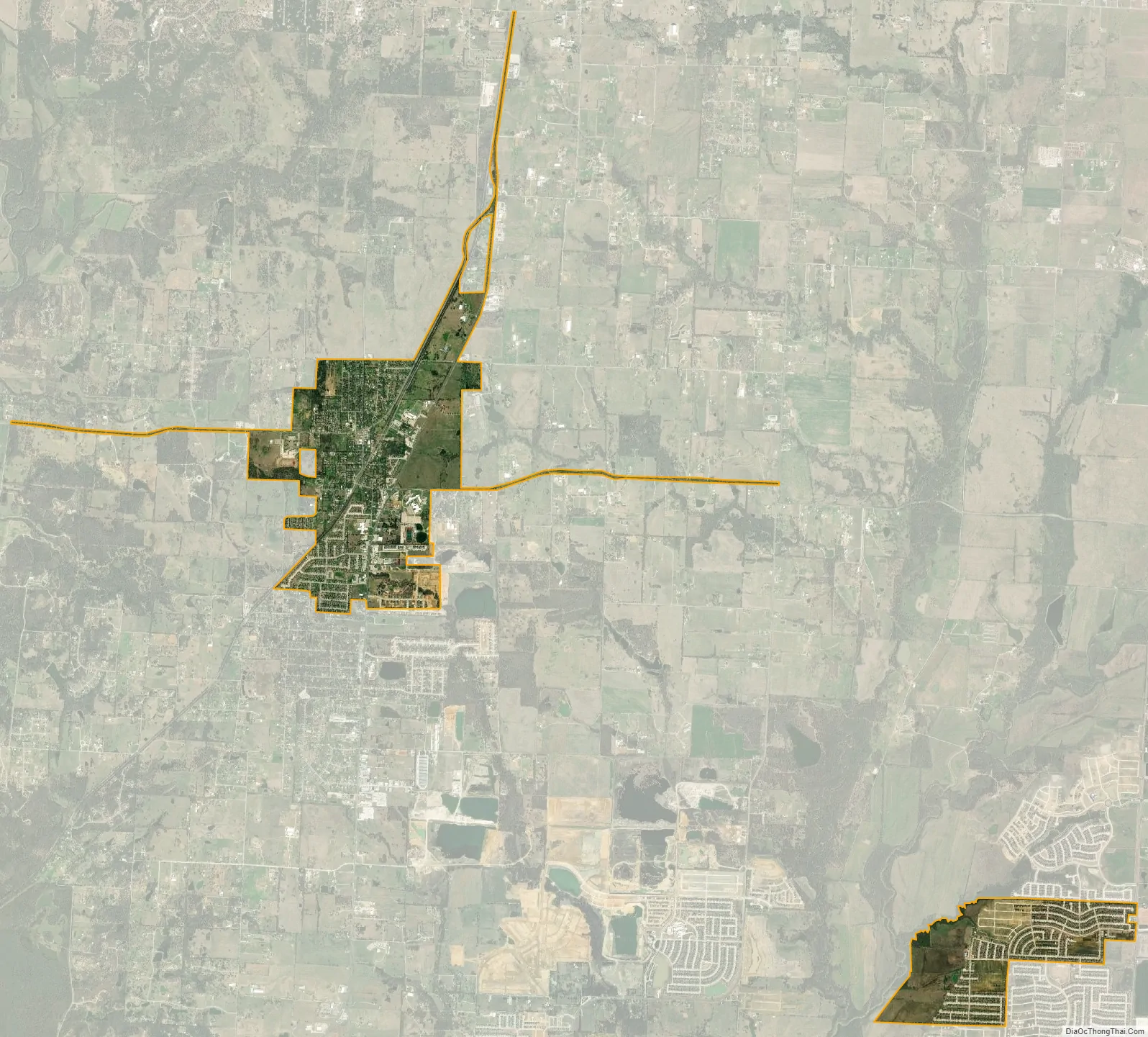
Aubrey city Satellite Map
Geography
Aubrey is located at 33°18′26″N 96°59′2″W / 33.30722°N 96.98389°W / 33.30722; -96.98389 (33.307148, –96.983970). It is 12 miles (19 km) north of Denton. According to the United States Census Bureau, the city has a total area of 2.6 square miles (6.8 km), of which 2.6 square miles (6.7 km) is land and 0.019 square miles (0.05 km), or 0.73%, is water.
See also
Map of Texas State and its subdivision:- Anderson
- Andrews
- Angelina
- Aransas
- Archer
- Armstrong
- Atascosa
- Austin
- Bailey
- Bandera
- Bastrop
- Baylor
- Bee
- Bell
- Bexar
- Blanco
- Borden
- Bosque
- Bowie
- Brazoria
- Brazos
- Brewster
- Briscoe
- Brooks
- Brown
- Burleson
- Burnet
- Caldwell
- Calhoun
- Callahan
- Cameron
- Camp
- Carson
- Cass
- Castro
- Chambers
- Cherokee
- Childress
- Clay
- Cochran
- Coke
- Coleman
- Collin
- Collingsworth
- Colorado
- Comal
- Comanche
- Concho
- Cooke
- Coryell
- Cottle
- Crane
- Crockett
- Crosby
- Culberson
- Dallam
- Dallas
- Dawson
- Deaf Smith
- Delta
- Denton
- Dewitt
- Dickens
- Dimmit
- Donley
- Duval
- Eastland
- Ector
- Edwards
- El Paso
- Ellis
- Erath
- Falls
- Fannin
- Fayette
- Fisher
- Floyd
- Foard
- Fort Bend
- Franklin
- Freestone
- Frio
- Gaines
- Galveston
- Garza
- Gillespie
- Glasscock
- Goliad
- Gonzales
- Gray
- Grayson
- Gregg
- Grimes
- Guadalupe
- Hale
- Hall
- Hamilton
- Hansford
- Hardeman
- Hardin
- Harris
- Harrison
- Hartley
- Haskell
- Hays
- Hemphill
- Henderson
- Hidalgo
- Hill
- Hockley
- Hood
- Hopkins
- Houston
- Howard
- Hudspeth
- Hunt
- Hutchinson
- Irion
- Jack
- Jackson
- Jasper
- Jeff Davis
- Jefferson
- Jim Hogg
- Jim Wells
- Johnson
- Jones
- Karnes
- Kaufman
- Kendall
- Kenedy
- Kent
- Kerr
- Kimble
- King
- Kinney
- Kleberg
- Knox
- La Salle
- Lamar
- Lamb
- Lampasas
- Lavaca
- Lee
- Leon
- Liberty
- Limestone
- Lipscomb
- Live Oak
- Llano
- Loving
- Lubbock
- Lynn
- Madison
- Marion
- Martin
- Mason
- Matagorda
- Maverick
- McCulloch
- McLennan
- McMullen
- Medina
- Menard
- Midland
- Milam
- Mills
- Mitchell
- Montague
- Montgomery
- Moore
- Morris
- Motley
- Nacogdoches
- Navarro
- Newton
- Nolan
- Nueces
- Ochiltree
- Oldham
- Orange
- Palo Pinto
- Panola
- Parker
- Parmer
- Pecos
- Polk
- Potter
- Presidio
- Rains
- Randall
- Reagan
- Real
- Red River
- Reeves
- Refugio
- Roberts
- Robertson
- Rockwall
- Runnels
- Rusk
- Sabine
- San Augustine
- San Jacinto
- San Patricio
- San Saba
- Schleicher
- Scurry
- Shackelford
- Shelby
- Sherman
- Smith
- Somervell
- Starr
- Stephens
- Sterling
- Stonewall
- Sutton
- Swisher
- Tarrant
- Taylor
- Terrell
- Terry
- Throckmorton
- Titus
- Tom Green
- Travis
- Trinity
- Tyler
- Upshur
- Upton
- Uvalde
- Val Verde
- Van Zandt
- Victoria
- Walker
- Waller
- Ward
- Washington
- Webb
- Wharton
- Wheeler
- Wichita
- Wilbarger
- Willacy
- Williamson
- Wilson
- Winkler
- Wise
- Wood
- Yoakum
- Young
- Zapata
- Zavala
- Alabama
- Alaska
- Arizona
- Arkansas
- California
- Colorado
- Connecticut
- Delaware
- District of Columbia
- Florida
- Georgia
- Hawaii
- Idaho
- Illinois
- Indiana
- Iowa
- Kansas
- Kentucky
- Louisiana
- Maine
- Maryland
- Massachusetts
- Michigan
- Minnesota
- Mississippi
- Missouri
- Montana
- Nebraska
- Nevada
- New Hampshire
- New Jersey
- New Mexico
- New York
- North Carolina
- North Dakota
- Ohio
- Oklahoma
- Oregon
- Pennsylvania
- Rhode Island
- South Carolina
- South Dakota
- Tennessee
- Texas
- Utah
- Vermont
- Virginia
- Washington
- West Virginia
- Wisconsin
- Wyoming