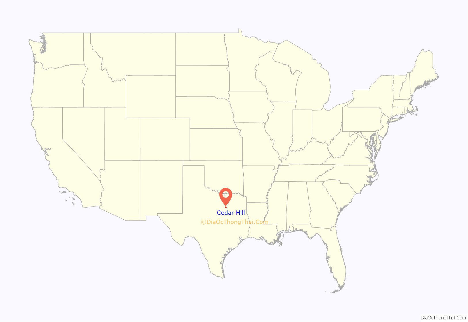
Cedar Hill is a city in Dallas and Ellis counties in the U.S. state of Texas. It is located approximately 16 miles (26 km) southwest of downtown Dallas and is situated along the eastern shore of Joe Pool Lake and Cedar Hill State Park. Per the 2020 United States census, the population was 49,148. Cedar Hill is a suburb of the city of Dallas and is part of the Best Southwest area, which includes the nearby cities of DeSoto, Duncanville, and Lancaster.
Early in its history, Cedar Hill lay along a branch of the Chisholm Trail and served as the temporary county seat of Dallas County. In 1856, a tornado swept through the town killing nine people and destroying most of its buildings. The seat of the county was moved to Dallas not long after.
| Name: | Cedar Hill city |
|---|---|
| LSAD Code: | 25 |
| LSAD Description: | city (suffix) |
| State: | Texas |
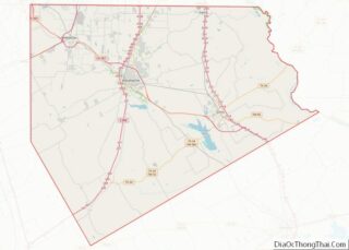
| County: | Dallas County, Ellis County |
| Elevation: | 880 ft (253 m) |
| Total Area: | 35.88 sq mi (92.93 km²) |
| Land Area: | 35.79 sq mi (92.69 km²) |
| Water Area: | 0.09 sq mi (0.24 km²) 0.26% |
| Total Population: | 49,148 |
| ZIP code: | 75104, 75106 |
| Area code: | 214, 469, 972 |
| FIPS code: | 4813492 |
| GNISfeature ID: | 1332440 |
Online Interactive Map
Click on ![]() to view map in "full screen" mode.
to view map in "full screen" mode.
Cedar Hill location map. Where is Cedar Hill city?

History
Cedar Hill was founded around 1846 by a small group of settlers from the Peters Colony. They came from Kentucky, Alabama, and surrounding areas to arrive in the Dallas area of North Texas; 197 families and 184 single men settled in what is now Cedar Hill, making it the largest settlement in the area at the time.
Cedar Hill has five homes listed on the National Park Service’s National Register of Historic Places, 4 historical structures on the Texas Historical Commission’s list of Recorded Texas Historic Landmarks, and 2 graveyards designated as “Historical Texas Cemeteries” by the Texas Historical Commission, one of which is believed to be the oldest integrated cemetery in Dallas County.
1856 Tornado
On April 29, 1856, Cedar Hill was struck by a tornado that claimed at least nine lives, damaged property, killed livestock, and reportedly left only two structures standing. Among the survivors was teacher and pastor, Robert Crawford. Crawford donated four acres of his land to church trustees to be designated as a free and indiscriminate public graveyard. Nine victims of the tornado were buried on Crawford’s land.
The graveyard lay lost for about 100 years. It was rediscovered and certified by the Texas Historical Commission in 2006, and was named the Crawford Tornado Graveyard. The graveyard was reconsecrated in a blessing ceremony on October 7, 2011. The Texas Historical Commission marker was officially placed on the site on April 29, 2012, the 156th anniversary of the tornado.
Cedar Hill Bank robbery
On October 8, 1932, the then First State Bank of Cedar Hill was robbed by Raymond Hamilton, a sidekick of bank robbers Bonnie and Clyde. After taking the money, he locked the employees in the vault and made his getaway. When Hamilton got wind of reports that some of the cash had been hidden during the first robbery, he returned to rob the bank again. The consecutive robberies took a toll on the bank, causing it to fall into financial ruin and ultimately close its doors for good.
Raymond Hamilton was incarcerated at Eastham Prison in Lovelady, Texas on other charges when, on January 17, 1934, his partners, Bonnie and Clyde, broke him out of jail. The gang is known to have had an old hide out on the south edge of Cedar Hill and scattered places in the Mountain Creek Valley.
Hamilton was later re-captured on April 24, 1934, after robbing a bank in nearby Lewisville, Texas. The building where the robbery took place still stands in Historic Downtown Cedar Hill. It is the current home of Cedar Hill Barbers. In March 2008, the building was designated as a historic resource by the city of Cedar Hill and bears an official medallion indicating its significance.
Cedar Hill Road Map

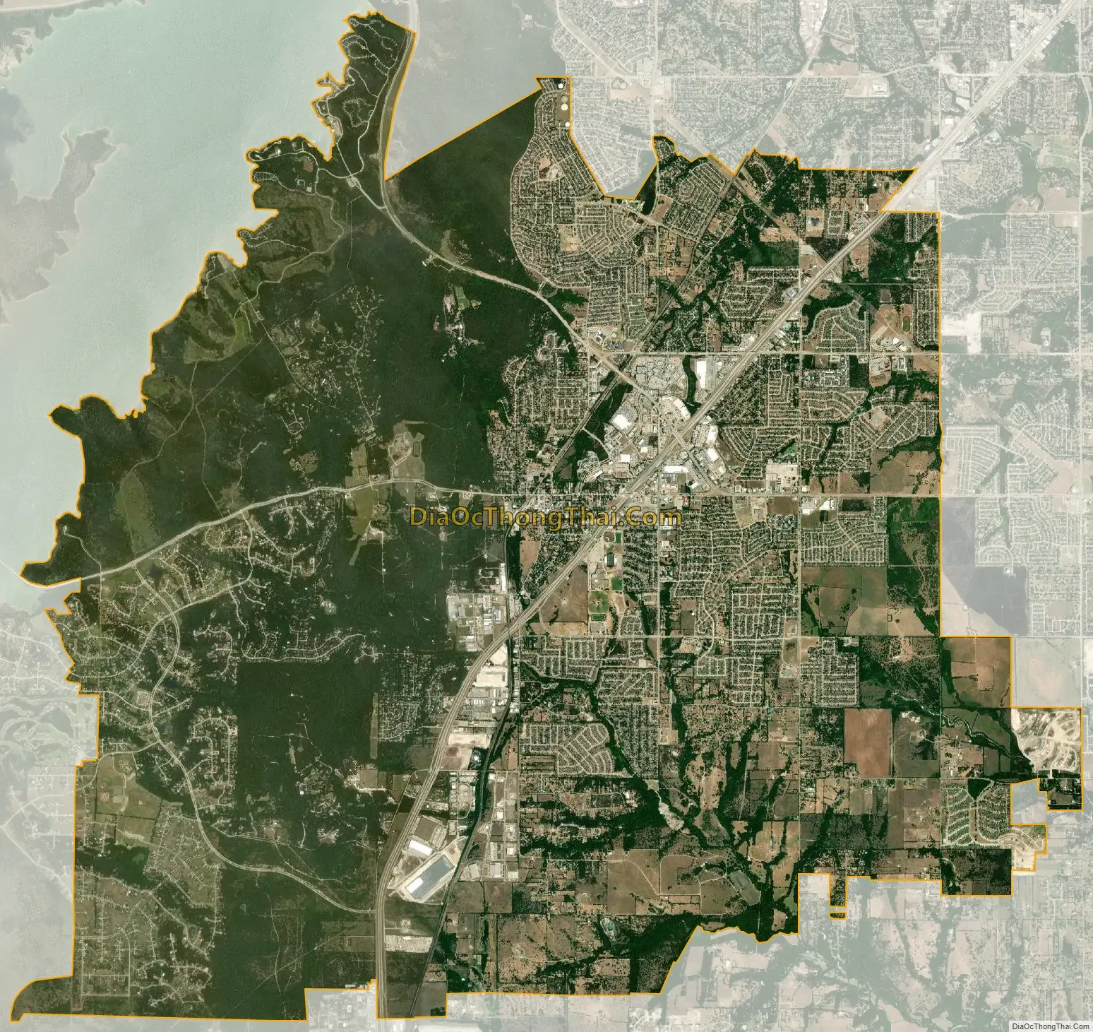
Cedar Hill city Satellite Map
Geography
Cedar Hill is located at 32°35′18″N 96°56′50″W / 32.58833°N 96.94722°W / 32.58833; -96.94722 (32.588454, –96.947325) in North Texas. Adjacent cities are Grand Prairie to the southwest, west, and northwest; Dallas to the north; Duncanville to the north and northeast; DeSoto to the northeast and east; Glenn Heights and Ovilla to the southeast; and Midlothian to the south. Most of the city of Cedar Hill is in Dallas County, but a small southern section of the city spills over into Ellis County.
According to the United States Census Bureau, the city has a total area of 35.9 square miles (93.0 km), of which 35.8 square miles (92.8 km) is land and 0.08 square miles (0.2 km), or 0.26%, is water.
The city is sometimes referred to as the “hill country of Dallas” (in comparison to the “hill country” surrounding Austin and San Antonio). The city is full of native eastern red cedar evergreen trees and stands at an elevation of about 800 feet (240 m) above sea level—the highest point in a straight line from the Red River at the Texas-Oklahoma border to the Gulf Coast.
Because of its elevation many local radio and TV stations have their antennas located there. Pulse-Doppler weather radar equipment for tracking tornadoes are also attached to these steel antenna masts that reach several thousand feet into the air.
The “Austin chalk” limestone uplift on which most of Cedar Hill is spread is covered with “gumbo”-cleche-clay topsoil from a few inches to many feet. The western edge of the city, primarily the Lake Ridge neighborhood, falls below the limestone uplift on the Eagle Ford shale strata surrounding Joe Pool Lake.
See also
Map of Texas State and its subdivision:- Anderson
- Andrews
- Angelina
- Aransas
- Archer
- Armstrong
- Atascosa
- Austin
- Bailey
- Bandera
- Bastrop
- Baylor
- Bee
- Bell
- Bexar
- Blanco
- Borden
- Bosque
- Bowie
- Brazoria
- Brazos
- Brewster
- Briscoe
- Brooks
- Brown
- Burleson
- Burnet
- Caldwell
- Calhoun
- Callahan
- Cameron
- Camp
- Carson
- Cass
- Castro
- Chambers
- Cherokee
- Childress
- Clay
- Cochran
- Coke
- Coleman
- Collin
- Collingsworth
- Colorado
- Comal
- Comanche
- Concho
- Cooke
- Coryell
- Cottle
- Crane
- Crockett
- Crosby
- Culberson
- Dallam
- Dallas
- Dawson
- Deaf Smith
- Delta
- Denton
- Dewitt
- Dickens
- Dimmit
- Donley
- Duval
- Eastland
- Ector
- Edwards
- El Paso
- Ellis
- Erath
- Falls
- Fannin
- Fayette
- Fisher
- Floyd
- Foard
- Fort Bend
- Franklin
- Freestone
- Frio
- Gaines
- Galveston
- Garza
- Gillespie
- Glasscock
- Goliad
- Gonzales
- Gray
- Grayson
- Gregg
- Grimes
- Guadalupe
- Hale
- Hall
- Hamilton
- Hansford
- Hardeman
- Hardin
- Harris
- Harrison
- Hartley
- Haskell
- Hays
- Hemphill
- Henderson
- Hidalgo
- Hill
- Hockley
- Hood
- Hopkins
- Houston
- Howard
- Hudspeth
- Hunt
- Hutchinson
- Irion
- Jack
- Jackson
- Jasper
- Jeff Davis
- Jefferson
- Jim Hogg
- Jim Wells
- Johnson
- Jones
- Karnes
- Kaufman
- Kendall
- Kenedy
- Kent
- Kerr
- Kimble
- King
- Kinney
- Kleberg
- Knox
- La Salle
- Lamar
- Lamb
- Lampasas
- Lavaca
- Lee
- Leon
- Liberty
- Limestone
- Lipscomb
- Live Oak
- Llano
- Loving
- Lubbock
- Lynn
- Madison
- Marion
- Martin
- Mason
- Matagorda
- Maverick
- McCulloch
- McLennan
- McMullen
- Medina
- Menard
- Midland
- Milam
- Mills
- Mitchell
- Montague
- Montgomery
- Moore
- Morris
- Motley
- Nacogdoches
- Navarro
- Newton
- Nolan
- Nueces
- Ochiltree
- Oldham
- Orange
- Palo Pinto
- Panola
- Parker
- Parmer
- Pecos
- Polk
- Potter
- Presidio
- Rains
- Randall
- Reagan
- Real
- Red River
- Reeves
- Refugio
- Roberts
- Robertson
- Rockwall
- Runnels
- Rusk
- Sabine
- San Augustine
- San Jacinto
- San Patricio
- San Saba
- Schleicher
- Scurry
- Shackelford
- Shelby
- Sherman
- Smith
- Somervell
- Starr
- Stephens
- Sterling
- Stonewall
- Sutton
- Swisher
- Tarrant
- Taylor
- Terrell
- Terry
- Throckmorton
- Titus
- Tom Green
- Travis
- Trinity
- Tyler
- Upshur
- Upton
- Uvalde
- Val Verde
- Van Zandt
- Victoria
- Walker
- Waller
- Ward
- Washington
- Webb
- Wharton
- Wheeler
- Wichita
- Wilbarger
- Willacy
- Williamson
- Wilson
- Winkler
- Wise
- Wood
- Yoakum
- Young
- Zapata
- Zavala
- Alabama
- Alaska
- Arizona
- Arkansas
- California
- Colorado
- Connecticut
- Delaware
- District of Columbia
- Florida
- Georgia
- Hawaii
- Idaho
- Illinois
- Indiana
- Iowa
- Kansas
- Kentucky
- Louisiana
- Maine
- Maryland
- Massachusetts
- Michigan
- Minnesota
- Mississippi
- Missouri
- Montana
- Nebraska
- Nevada
- New Hampshire
- New Jersey
- New Mexico
- New York
- North Carolina
- North Dakota
- Ohio
- Oklahoma
- Oregon
- Pennsylvania
- Rhode Island
- South Carolina
- South Dakota
- Tennessee
- Texas
- Utah
- Vermont
- Virginia
- Washington
- West Virginia
- Wisconsin
- Wyoming