Midlothian is a city in northwest Ellis County, Texas, United States. The city is 25 miles (40 km) southwest of Dallas. It is the hub for the cement industry in North Texas, as it is the home to three separate cement production facilities, as well as a steel mill. The population of Midlothian grew by 121% between 2000 and 2010, to a population of 18,037.
| Name: | Midlothian city |
|---|---|
| LSAD Code: | 25 |
| LSAD Description: | city (suffix) |
| State: | Texas |
| County: | Ellis County |
| Elevation: | 755 ft (230 m) |
| Total Area: | 64.23 sq mi (166.34 km²) |
| Land Area: | 63.50 sq mi (164.47 km²) |
| Water Area: | 0.73 sq mi (1.88 km²) |
| Total Population: | 35,125 |
| Population Density: | 550/sq mi (210/km²) |
| ZIP code: | 76065 |
| Area code: | 972 |
| FIPS code: | 4848096 |
| GNISfeature ID: | 1341552 |
| Website: | midlothian.tx.us |
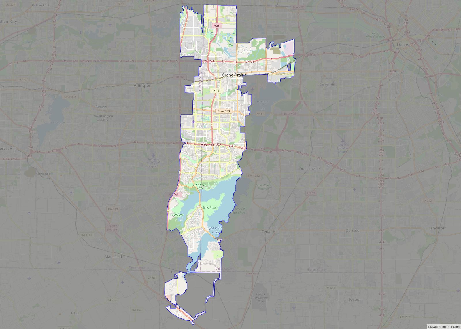
Online Interactive Map
Click on ![]() to view map in "full screen" mode.
to view map in "full screen" mode.
Midlothian location map. Where is Midlothian city?


History
In the early 1800s, settlements began to take place in the area that became Ellis County, but full colonization of this area was slow until 1846, when Sam Houston finalized peace treaties between several of the indigenous inhabitants of the region and the Republic of Texas. The earliest inhabitants of this area were the Tonkawa people, but other tribes also hunted in this area, including the Anadarko, Bidai, Kickapoo, and Waco peoples.
The future Ellis County area of the young Republic of Texas was known as the Peters Colony, named for a Louisville, Kentucky-based land grant company consisting of English and American investors. The young Republic empresario grant program encouraged settlements in North Texas in 1857. The few settlers who lived in this region trapped animals and sold their pelts, and traded goods with the natives. The majority of Ellis County’s original settlers came from the southern half of the United States. They arrived with their cultural and educational traditions, their methods of farming and care for farm animals, and for a few, their slaves.
Some of the earliest settlers of the area were the families of William Alden Hawkins and Larkin Newton, who moved to the area in 1848. For Hawkins to claim his 640 acres (260 ha) of land from the Peters Colony group, he was required to build a house on the property he chose along the mouth of Waxahachie Creek before July 1, 1848. The structure was built before the required deadline, and the land near the present-day Hawkins Spring went to the Hawkins family. For Larkin Newton, who moved his wife Mary and their eight children from Missouri, the same requirement was given. Larkin met the due date and became owner of his 640-acre claim. In 1903, William Alden Hawkins’ grandson William Larkin Hawkins purchased land and built the William L and Emma Hawkins House, now listed as a Recorded Texas Historic Landmark.
Ellis County was officially established by the Texas Legislature on December 20, 1849, in a bill sponsored by General Edward H. Tarrant, a popular Texas Ranger and Indian gunfighter during this period. Organized in February 1850, the county was carved out of Navarro County and likely named for Richard Ellis.
In 1883, the name “Midlothian” was accepted by the local population. According to local legend, the area was named Midlothian when the Chicago, Texas, and Mexican Central railroads, which eventually connected Dallas and Cleburne, arrived in the area and a homesick Scottish train engineer stated that the local countryside reminded him of his homeland in Scotland, and the location served as the midpoint between Dallas and Cleburne, and between Ennis and Fort Worth. With the coming of the railroad, Midlothian grew and was incorporated in April 1888.
One of the oldest churches in the city, the First United Methodist Church, was built in 1902, followed by the First Presbyterian Church, constructed in 1913. The Midlothian Cemetery contains headstones dating back to the 1870s. The St Paul Cemetery also stands outside of the city.
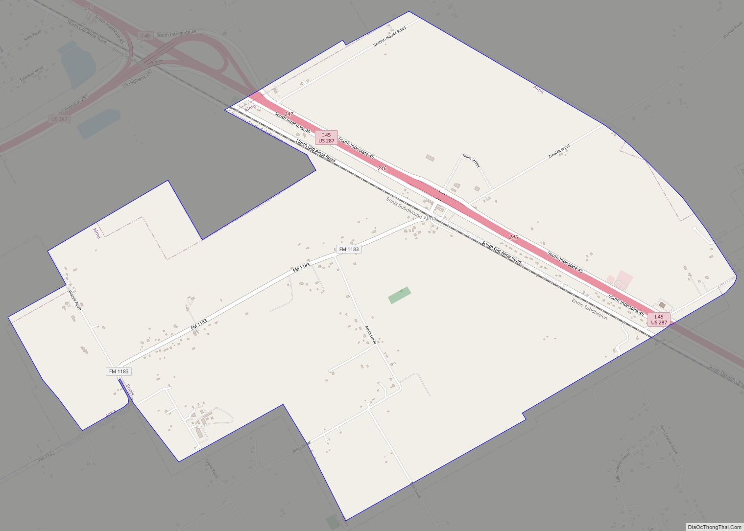
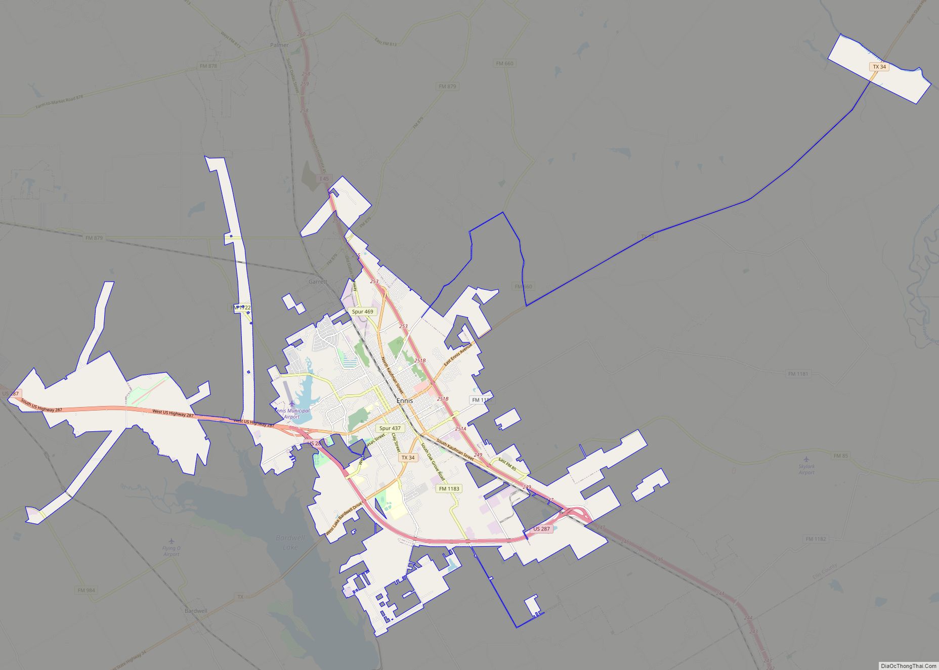
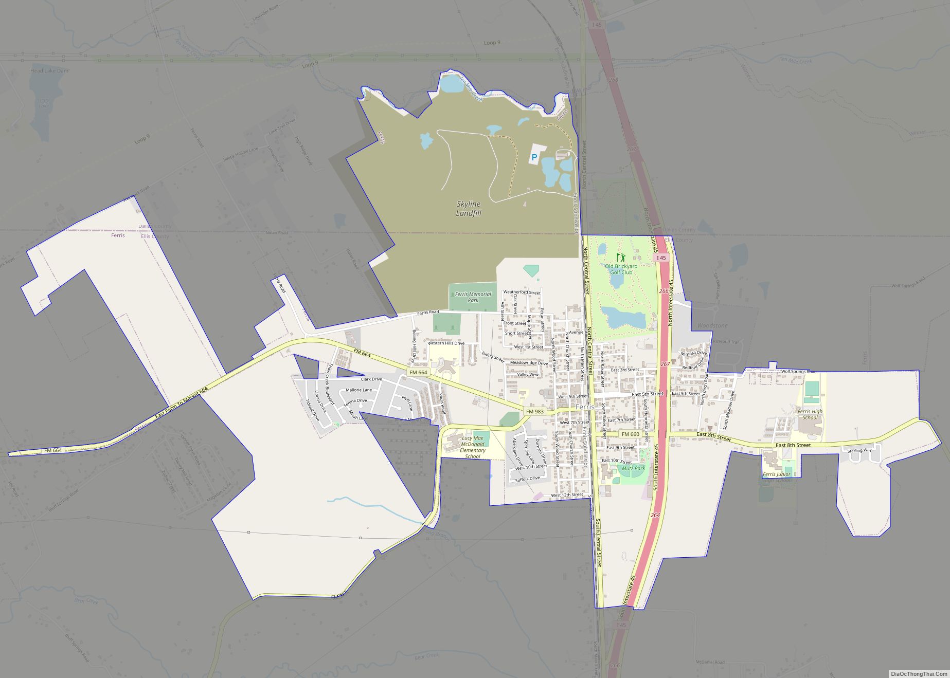
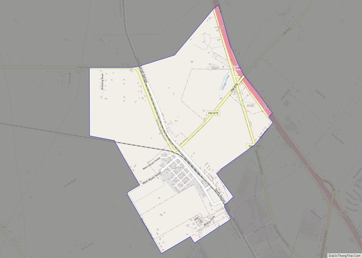
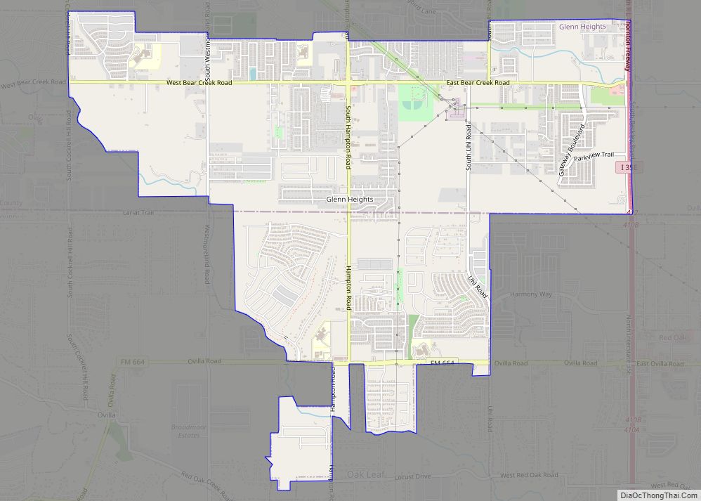
Midlothian Road Map

Midlothian city Satellite Map

Geography
Midlothian is located in northwestern Ellis County at 32°28′49″N 96°59′22″W / 32.48028°N 96.98944°W / 32.48028; -96.98944 (32.480169, –96.989350). Adjacent cities are Cedar Hill to the north, Grand Prairie to the northwest, Venus to the southwest, Waxahachie to the southeast, and Ovilla to the northeast.
According to the United States Census Bureau, in 2010 the city had a total area of 50.4 square miles (130.5 km), of which 49.8 sq mi (128.9 km) are land and 0.66 sq mi (1.7 km), or 1.28%, is covered by water. Midlothian’s extraterritorial jurisdiction includes another 33 square miles (85 km).
Climate
The climate in this area is characterized by hot, humid summers and generally mild to cool winters. According to the Köppen climate classification, Midlothian has a humid subtropical climate, Cfa on climate maps.
See also
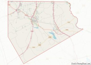
Map of Texas State and its subdivision:- Anderson
- Andrews
- Angelina
- Aransas
- Archer
- Armstrong
- Atascosa
- Austin
- Bailey
- Bandera
- Bastrop
- Baylor
- Bee
- Bell
- Bexar
- Blanco
- Borden
- Bosque
- Bowie
- Brazoria
- Brazos
- Brewster
- Briscoe
- Brooks
- Brown
- Burleson
- Burnet
- Caldwell
- Calhoun
- Callahan
- Cameron
- Camp
- Carson
- Cass
- Castro
- Chambers
- Cherokee
- Childress
- Clay
- Cochran
- Coke
- Coleman
- Collin
- Collingsworth
- Colorado
- Comal
- Comanche
- Concho
- Cooke
- Coryell
- Cottle
- Crane
- Crockett
- Crosby
- Culberson
- Dallam
- Dallas
- Dawson
- Deaf Smith
- Delta
- Denton
- Dewitt
- Dickens
- Dimmit
- Donley
- Duval
- Eastland
- Ector
- Edwards
- El Paso
- Ellis
- Erath
- Falls
- Fannin
- Fayette
- Fisher
- Floyd
- Foard
- Fort Bend
- Franklin
- Freestone
- Frio
- Gaines
- Galveston
- Garza
- Gillespie
- Glasscock
- Goliad
- Gonzales
- Gray
- Grayson
- Gregg
- Grimes
- Guadalupe
- Hale
- Hall
- Hamilton
- Hansford
- Hardeman
- Hardin
- Harris
- Harrison
- Hartley
- Haskell
- Hays
- Hemphill
- Henderson
- Hidalgo
- Hill
- Hockley
- Hood
- Hopkins
- Houston
- Howard
- Hudspeth
- Hunt
- Hutchinson
- Irion
- Jack
- Jackson
- Jasper
- Jeff Davis
- Jefferson
- Jim Hogg
- Jim Wells
- Johnson
- Jones
- Karnes
- Kaufman
- Kendall
- Kenedy
- Kent
- Kerr
- Kimble
- King
- Kinney
- Kleberg
- Knox
- La Salle
- Lamar
- Lamb
- Lampasas
- Lavaca
- Lee
- Leon
- Liberty
- Limestone
- Lipscomb
- Live Oak
- Llano
- Loving
- Lubbock
- Lynn
- Madison
- Marion
- Martin
- Mason
- Matagorda
- Maverick
- McCulloch
- McLennan
- McMullen
- Medina
- Menard
- Midland
- Milam
- Mills
- Mitchell
- Montague
- Montgomery
- Moore
- Morris
- Motley
- Nacogdoches
- Navarro
- Newton
- Nolan
- Nueces
- Ochiltree
- Oldham
- Orange
- Palo Pinto
- Panola
- Parker
- Parmer
- Pecos
- Polk
- Potter
- Presidio
- Rains
- Randall
- Reagan
- Real
- Red River
- Reeves
- Refugio
- Roberts
- Robertson
- Rockwall
- Runnels
- Rusk
- Sabine
- San Augustine
- San Jacinto
- San Patricio
- San Saba
- Schleicher
- Scurry
- Shackelford
- Shelby
- Sherman
- Smith
- Somervell
- Starr
- Stephens
- Sterling
- Stonewall
- Sutton
- Swisher
- Tarrant
- Taylor
- Terrell
- Terry
- Throckmorton
- Titus
- Tom Green
- Travis
- Trinity
- Tyler
- Upshur
- Upton
- Uvalde
- Val Verde
- Van Zandt
- Victoria
- Walker
- Waller
- Ward
- Washington
- Webb
- Wharton
- Wheeler
- Wichita
- Wilbarger
- Willacy
- Williamson
- Wilson
- Winkler
- Wise
- Wood
- Yoakum
- Young
- Zapata
- Zavala
- Alabama
- Alaska
- Arizona
- Arkansas
- California
- Colorado
- Connecticut
- Delaware
- District of Columbia
- Florida
- Georgia
- Hawaii
- Idaho
- Illinois
- Indiana
- Iowa
- Kansas
- Kentucky
- Louisiana
- Maine
- Maryland
- Massachusetts
- Michigan
- Minnesota
- Mississippi
- Missouri
- Montana
- Nebraska
- Nevada
- New Hampshire
- New Jersey
- New Mexico
- New York
- North Carolina
- North Dakota
- Ohio
- Oklahoma
- Oregon
- Pennsylvania
- Rhode Island
- South Carolina
- South Dakota
- Tennessee
- Texas
- Utah
- Vermont
- Virginia
- Washington
- West Virginia
- Wisconsin
- Wyoming