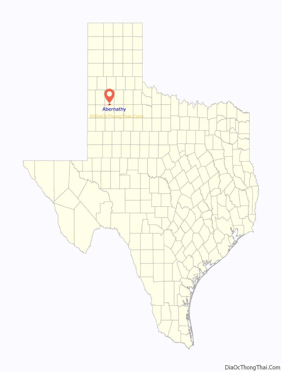
Abernathy is a city in Hale and Lubbock counties in the U.S. state of Texas. The population was 2,805 at the 2010 census.
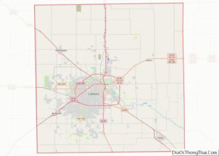
The Hale County portion of Abernathy is part of the Plainview micropolitan statistical area, while the Lubbock County portion is part of the Lubbock metropolitan area.
| Name: | Abernathy city |
|---|---|
| LSAD Code: | 25 |
| LSAD Description: | city (suffix) |
| State: | Texas |
| County: | Hale County, Lubbock County |
| Elevation: | 3,360 ft (1,020 m) |
| Total Area: | 3.21 sq mi (8.31 km²) |
| Land Area: | 3.20 sq mi (8.29 km²) |
| Water Area: | 0.01 sq mi (0.01 km²) |
| Total Population: | 2,831 |
| Population Density: | 845.10/sq mi (326.26/km²) |
| ZIP code: | 79311 |
| Area code: | 806 |
| FIPS code: | 4800160 |
| Website: | cityofabernathy.org |
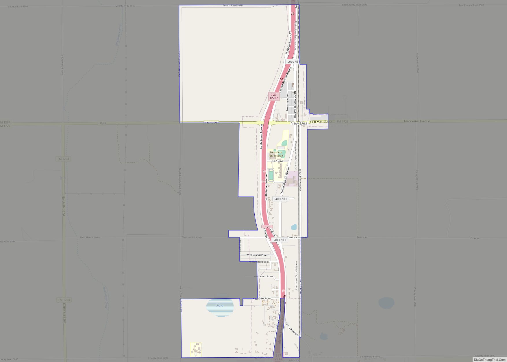
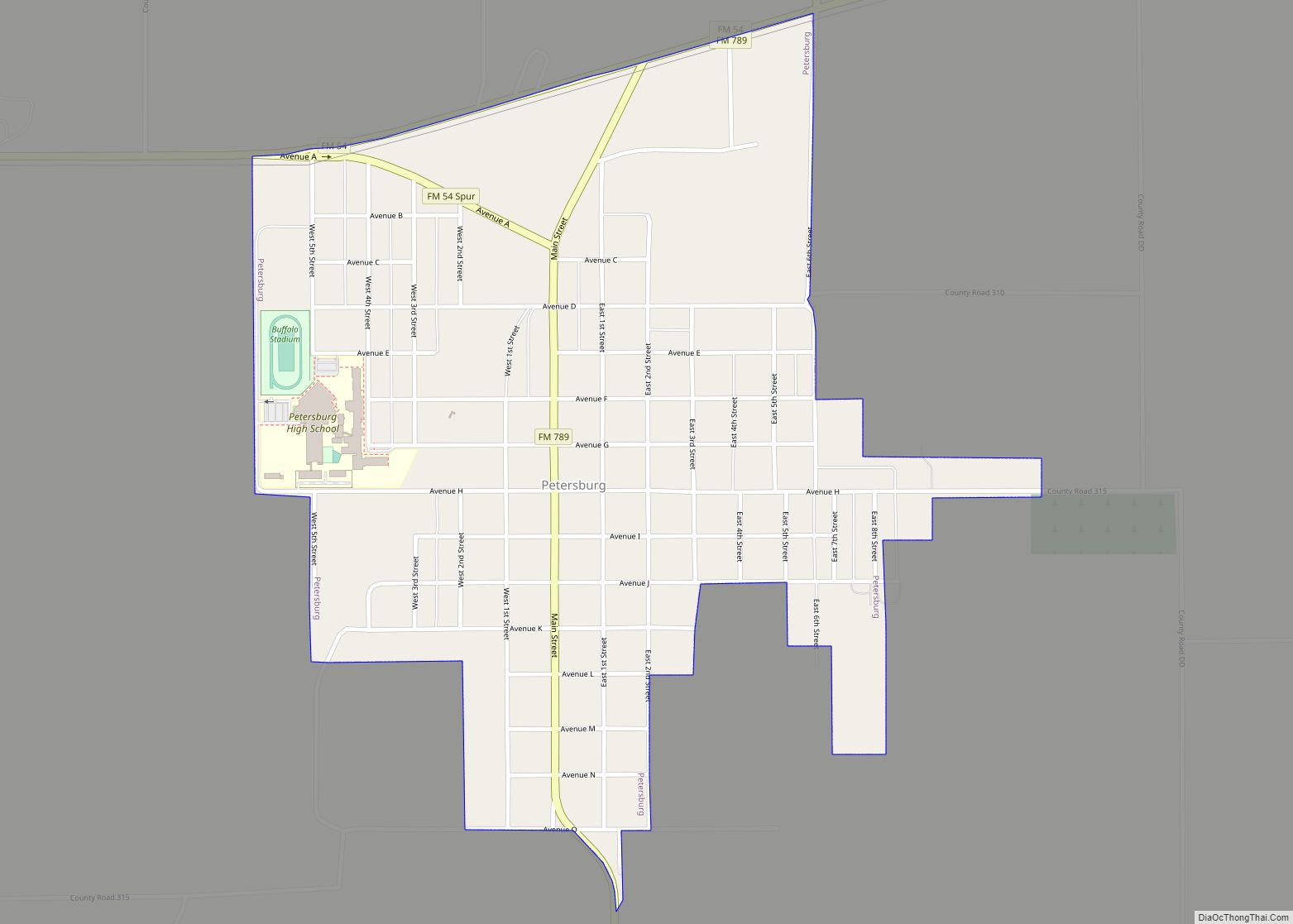
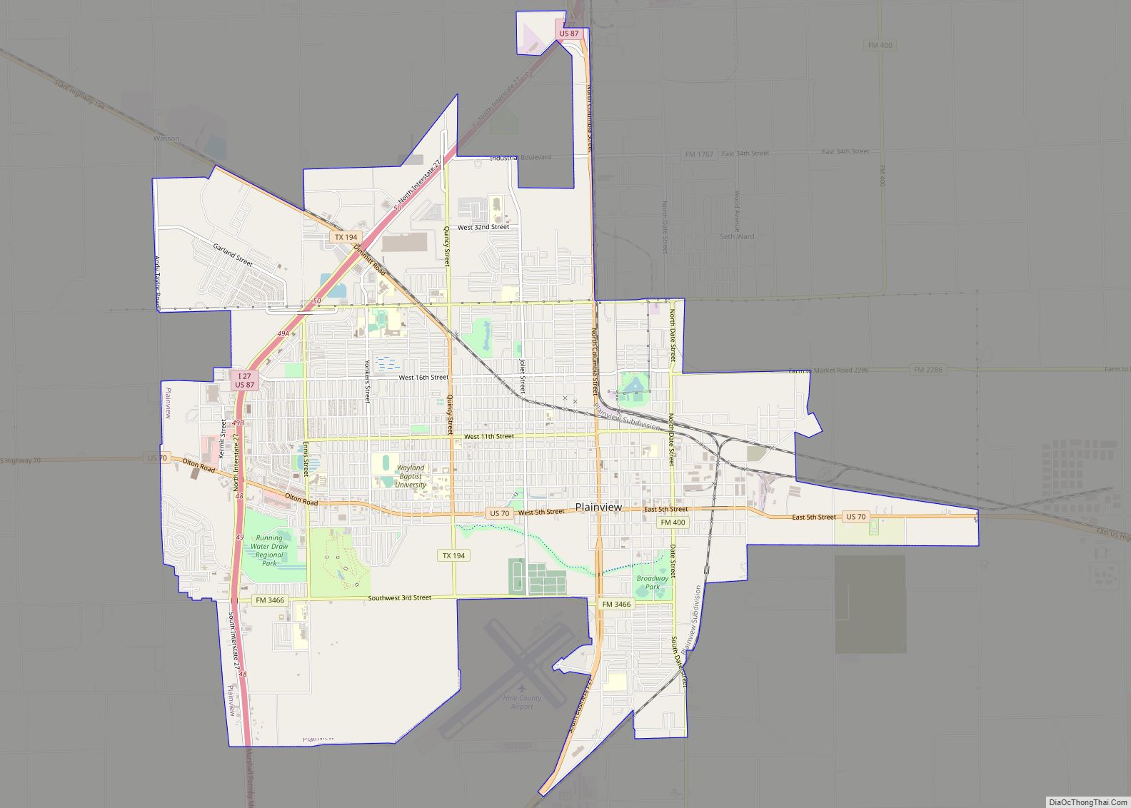
Online Interactive Map
Click on ![]() to view map in "full screen" mode.
to view map in "full screen" mode.
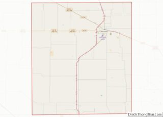
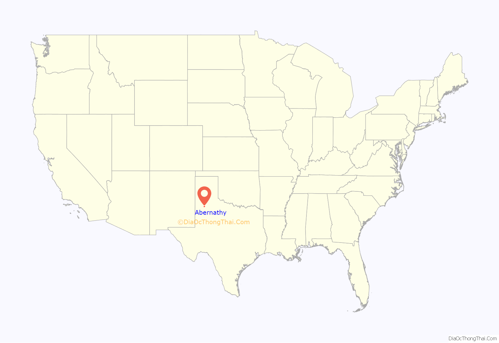
Abernathy location map. Where is Abernathy city?
History
The Santa Fe Railroad wanted to follow a straight line from Plainview to Lubbock. A straight-line survey was run and it went east of the present site of Abernathy. This route did not please the residents of Hale Center, which had been established since the 1890s. They influenced the Santa Fe to come southwest out of Plainview to serve them, and from there the Santa Fe followed an approximate straight line into Lubbock.
The developers of the town sites along the new railroad wanted to organize a town on a section 4 miles (6 km) north of the present town of Abernathy. The owners, who lived in Wisconsin, were contacted. They thought gold might be on the land and refused to sell. Therefore, the last section south in Hale County was chosen as the town site.
Originally owned by John Y. Ligon, the section that was to become the Abernathy town site was purchased by J.C. Roberds from E.S. and W.L. Stanfield. When the South Plains Investment Company was formed by Roberds, Dr. M.C. Overton, and Monroe Abernathy, Mr. Roberds deeded the section to the firm and became the president of the firm. Dr. Overton was secretary and Mr. Abernathy was treasurer.
On June 18, 1909, the official survey of the town site was recognized by Gov. T.M. Campbell. The town site was platted on July 8, 1909, and was named for M.C. Abernathy. Mr. Monk was the resident agent for the company, and a small frame office building was built. Lots and blocks were sold from there.
Since several buildings were already in Bartonsite and none in Abernathy, the founding fathers here contracted with J.J. Barton to move some of the buildings to Abernathy. In the late summer of 1909, the move began. Buildings were placed on rollers. The latest equipment—steam-driven tractors—hooked on. The exodus began to huff and puff toward the new town. The tractors did not move but about three or four miles per hour, so it was a long trip. A two-story yellow hotel, a lumberyard, blacksmith shop, and three or four residences were some of the roughly 10 buildings moved.
The first train came to Abernathy in the early fall of 1909. This was not a regular train, but some cars added to the work train.
The depot was constructed in 1909. C.E. Stout was the first local agent for the Santa Fe.
The section where the town of Abernathy was being developed was fenced, and gates had to be opened when entering and leaving town. The streets and block corners were laid off with 2 x 4 stubs. These stubs denoted streets for the next few years, until a grader finally came in to run ditches.
Town residents had free range on the section, and their milk cows and horses and mules were turned loose to graze. The stock would stray out of the section, and range cattle would come into town, when someone happened to leave the gates open. The ladies had to stand guard at their clotheslines to keep the livestock from ruining their laundry. When a load of feed was brought to town, the cattle and horses had to be chased away until it was unloaded in stack lots or barns. Trains running through the town section frequently hit the livestock.
Behind most of the houses were outhouses, barns, and windmills. Nearly every home had its own windmill, although a few families hauled water. Generally, gardens and cow lots were integral parts of each household.
Although the City of Abernathy was founded in 1909, it was not incorporated until 1924. An election was called for September 12, 1924. The first mayor was F.W. Struve, and aldermen elected were R.M. Hardesty, N.C. Hix, Sam W. Smith, T.B. Stone, and E.B. Lindsey.
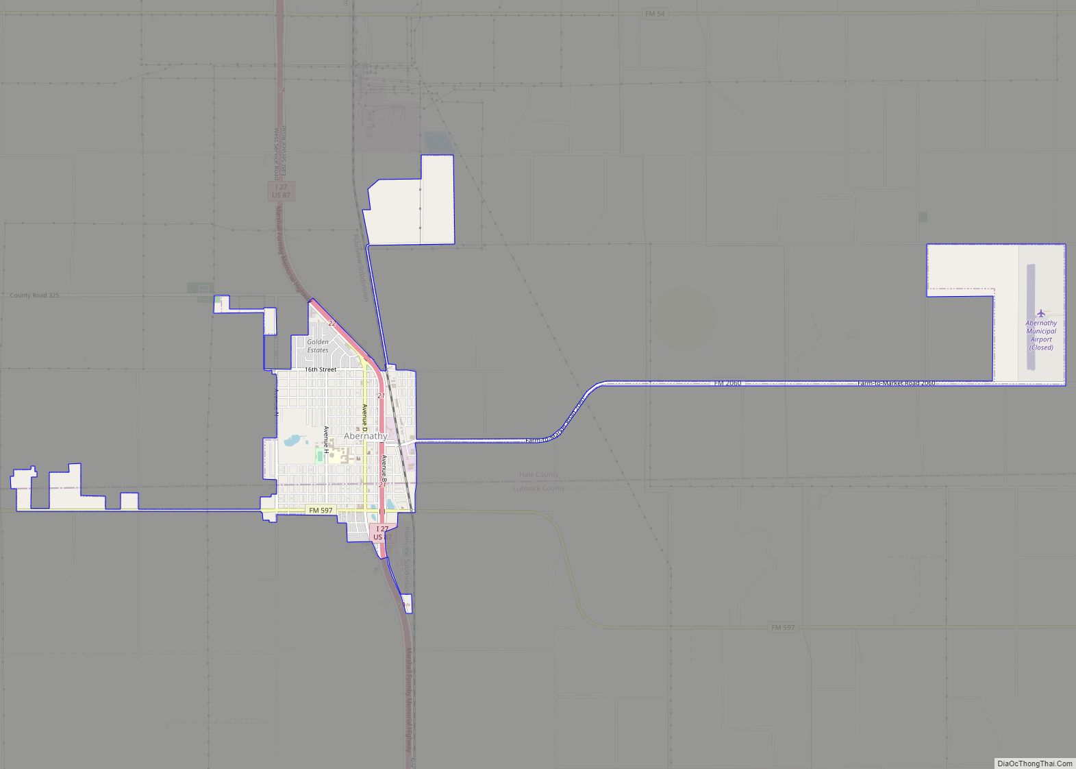
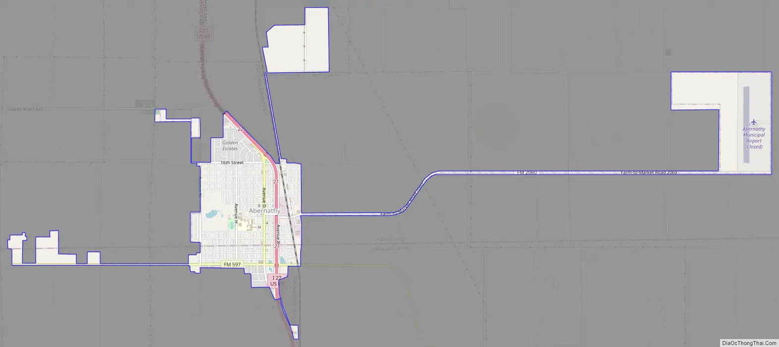
Abernathy Road Map
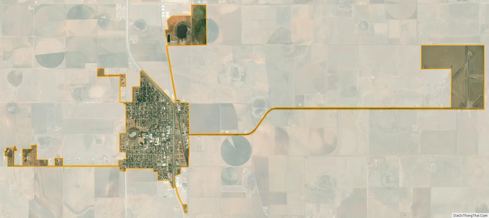
Abernathy city Satellite Map
Geography
Abernathy (elevation 3,360) is located at 33°49′56″N 101°50′35″W / 33.83222°N 101.84306°W / 33.83222; -101.84306 (33.8323038, –101.8429491). Most of the city is located in Hale County; roughly 25% of the city extends southward into Lubbock County.
According to the United States Census Bureau, the city has a total area of 1.2 square miles (3.2 km), all land.
See also
Map of Texas State and its subdivision:- Anderson
- Andrews
- Angelina
- Aransas
- Archer
- Armstrong
- Atascosa
- Austin
- Bailey
- Bandera
- Bastrop
- Baylor
- Bee
- Bell
- Bexar
- Blanco
- Borden
- Bosque
- Bowie
- Brazoria
- Brazos
- Brewster
- Briscoe
- Brooks
- Brown
- Burleson
- Burnet
- Caldwell
- Calhoun
- Callahan
- Cameron
- Camp
- Carson
- Cass
- Castro
- Chambers
- Cherokee
- Childress
- Clay
- Cochran
- Coke
- Coleman
- Collin
- Collingsworth
- Colorado
- Comal
- Comanche
- Concho
- Cooke
- Coryell
- Cottle
- Crane
- Crockett
- Crosby
- Culberson
- Dallam
- Dallas
- Dawson
- Deaf Smith
- Delta
- Denton
- Dewitt
- Dickens
- Dimmit
- Donley
- Duval
- Eastland
- Ector
- Edwards
- El Paso
- Ellis
- Erath
- Falls
- Fannin
- Fayette
- Fisher
- Floyd
- Foard
- Fort Bend
- Franklin
- Freestone
- Frio
- Gaines
- Galveston
- Garza
- Gillespie
- Glasscock
- Goliad
- Gonzales
- Gray
- Grayson
- Gregg
- Grimes
- Guadalupe
- Hale
- Hall
- Hamilton
- Hansford
- Hardeman
- Hardin
- Harris
- Harrison
- Hartley
- Haskell
- Hays
- Hemphill
- Henderson
- Hidalgo
- Hill
- Hockley
- Hood
- Hopkins
- Houston
- Howard
- Hudspeth
- Hunt
- Hutchinson
- Irion
- Jack
- Jackson
- Jasper
- Jeff Davis
- Jefferson
- Jim Hogg
- Jim Wells
- Johnson
- Jones
- Karnes
- Kaufman
- Kendall
- Kenedy
- Kent
- Kerr
- Kimble
- King
- Kinney
- Kleberg
- Knox
- La Salle
- Lamar
- Lamb
- Lampasas
- Lavaca
- Lee
- Leon
- Liberty
- Limestone
- Lipscomb
- Live Oak
- Llano
- Loving
- Lubbock
- Lynn
- Madison
- Marion
- Martin
- Mason
- Matagorda
- Maverick
- McCulloch
- McLennan
- McMullen
- Medina
- Menard
- Midland
- Milam
- Mills
- Mitchell
- Montague
- Montgomery
- Moore
- Morris
- Motley
- Nacogdoches
- Navarro
- Newton
- Nolan
- Nueces
- Ochiltree
- Oldham
- Orange
- Palo Pinto
- Panola
- Parker
- Parmer
- Pecos
- Polk
- Potter
- Presidio
- Rains
- Randall
- Reagan
- Real
- Red River
- Reeves
- Refugio
- Roberts
- Robertson
- Rockwall
- Runnels
- Rusk
- Sabine
- San Augustine
- San Jacinto
- San Patricio
- San Saba
- Schleicher
- Scurry
- Shackelford
- Shelby
- Sherman
- Smith
- Somervell
- Starr
- Stephens
- Sterling
- Stonewall
- Sutton
- Swisher
- Tarrant
- Taylor
- Terrell
- Terry
- Throckmorton
- Titus
- Tom Green
- Travis
- Trinity
- Tyler
- Upshur
- Upton
- Uvalde
- Val Verde
- Van Zandt
- Victoria
- Walker
- Waller
- Ward
- Washington
- Webb
- Wharton
- Wheeler
- Wichita
- Wilbarger
- Willacy
- Williamson
- Wilson
- Winkler
- Wise
- Wood
- Yoakum
- Young
- Zapata
- Zavala
- Alabama
- Alaska
- Arizona
- Arkansas
- California
- Colorado
- Connecticut
- Delaware
- District of Columbia
- Florida
- Georgia
- Hawaii
- Idaho
- Illinois
- Indiana
- Iowa
- Kansas
- Kentucky
- Louisiana
- Maine
- Maryland
- Massachusetts
- Michigan
- Minnesota
- Mississippi
- Missouri
- Montana
- Nebraska
- Nevada
- New Hampshire
- New Jersey
- New Mexico
- New York
- North Carolina
- North Dakota
- Ohio
- Oklahoma
- Oregon
- Pennsylvania
- Rhode Island
- South Carolina
- South Dakota
- Tennessee
- Texas
- Utah
- Vermont
- Virginia
- Washington
- West Virginia
- Wisconsin
- Wyoming