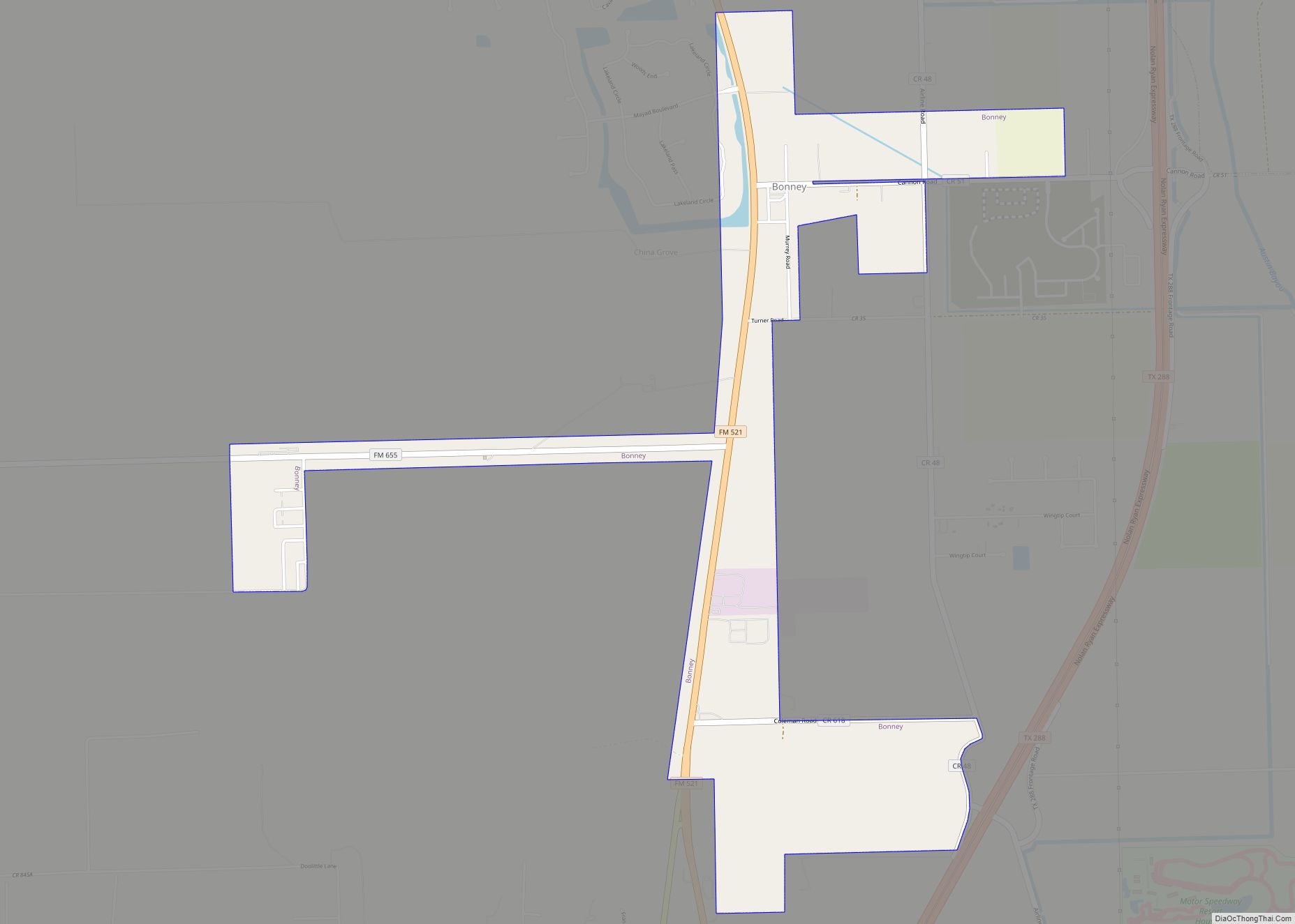
Bonney is a village in Brazoria County, Texas, United States. The population was 310 at the 2010 census, making it the smallest village in Texas. Bonney is around fifteen times larger than the smallest city and the smallest town in Texas, though.
| Name: | Bonney village |
|---|---|
| LSAD Code: | 47 |
| LSAD Description: | village (suffix) |
| State: | Texas |
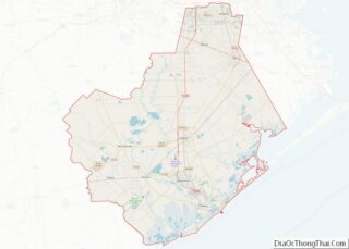
| County: | Brazoria County |
| Elevation: | 46 ft (14 m) |
| Total Area: | 1.96 sq mi (5.08 km²) |
| Land Area: | 1.96 sq mi (5.08 km²) |
| Water Area: | 0.00 sq mi (0.00 km²) |
| Total Population: | 310 |
| Population Density: | 189.80/sq mi (73.29/km²) |
| ZIP code: | 77515 |
| Area code: | 979 |
| FIPS code: | 4809388 |
| GNISfeature ID: | 1379443 |
| Website: | www.bonneytexas.gov |
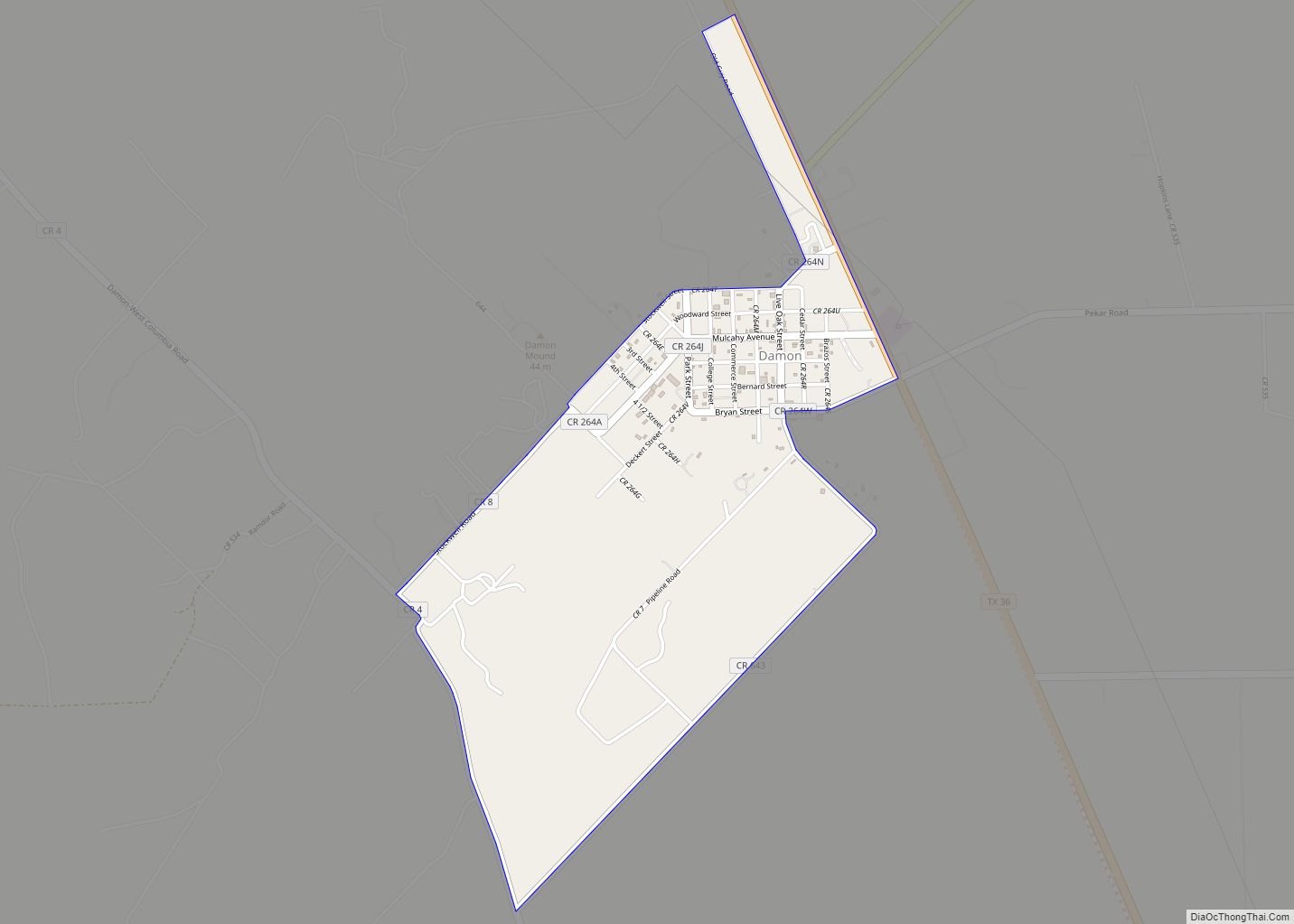
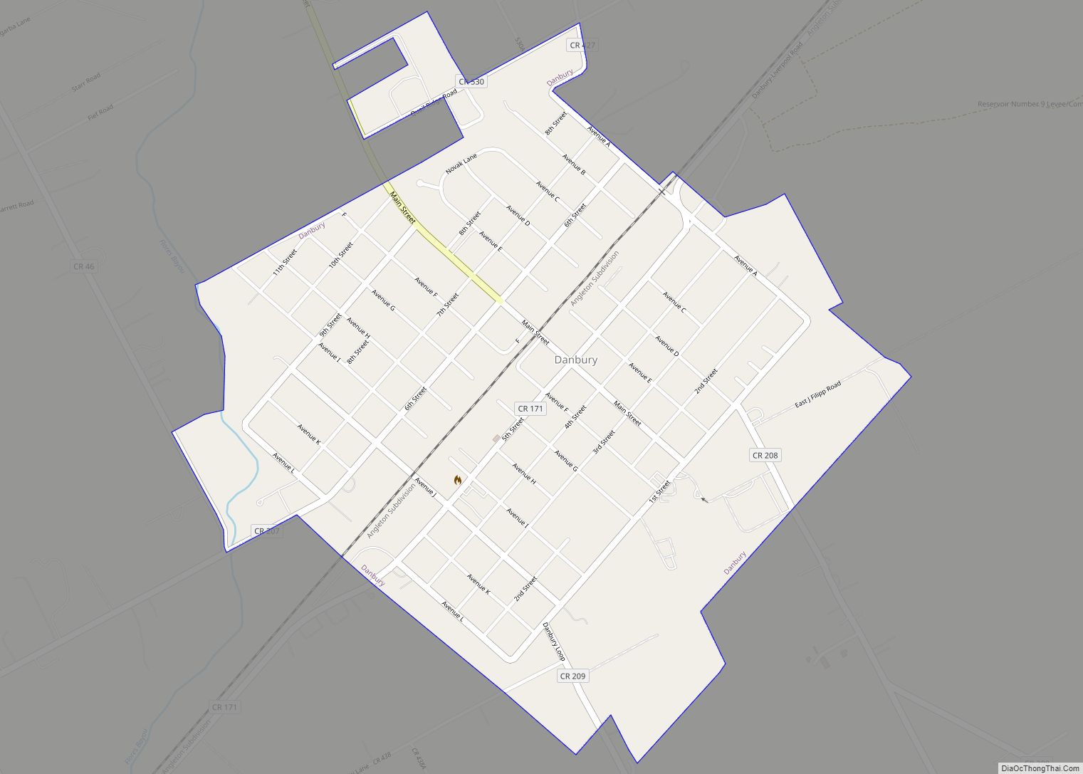
Online Interactive Map
Click on ![]() to view map in "full screen" mode.
to view map in "full screen" mode.
Bonney location map. Where is Bonney village?
History
Bonney was founded in 1873 as a station on the International–Great Northern Railroad. It was named after a conductor who worked on the Houston Tap and Brazoria Railway. In 1889 a post office opened and the following year a new general store was added. The next six years saw the opening of a school, three more businesses, a cotton gin, and a telegraph office. In 1895 there were 75 persons living in Bonney. In 1906 the school had one teacher and twenty students. The post office closed in 1920. By 1955 the village had one business and 25 residents. In 1988 the population was 99. Two years later the census recorded 339 residents and in 2000 the number increased to 384.
After his first wife died in 1835. West Point graduate Albert Sidney Johnston moved to the Republic of Texas in 1836. On January 1837 he was the senior brigadier general in the Texas army. In December 1838 he was appointed the republic’s Secretary of War. In 1840, he left Texas for his native Kentucky where he married his second wife Eliza Griffin and returned to Texas in 1843. That year, Johnston bought the China Grove plantation from Warren D. C. Hall and operated the place until 1849. He sold it in 1852. He returned to the United States Army in 1849 and had a distinguished career until he resigned in 1861 to join the Confederate States of America. He was killed leading a Confederate army at the Battle of Shiloh in 1862.
Albert Sidney Johnston historical marker on FM 521 is 200 yards south of the Bonney municipal buildings.
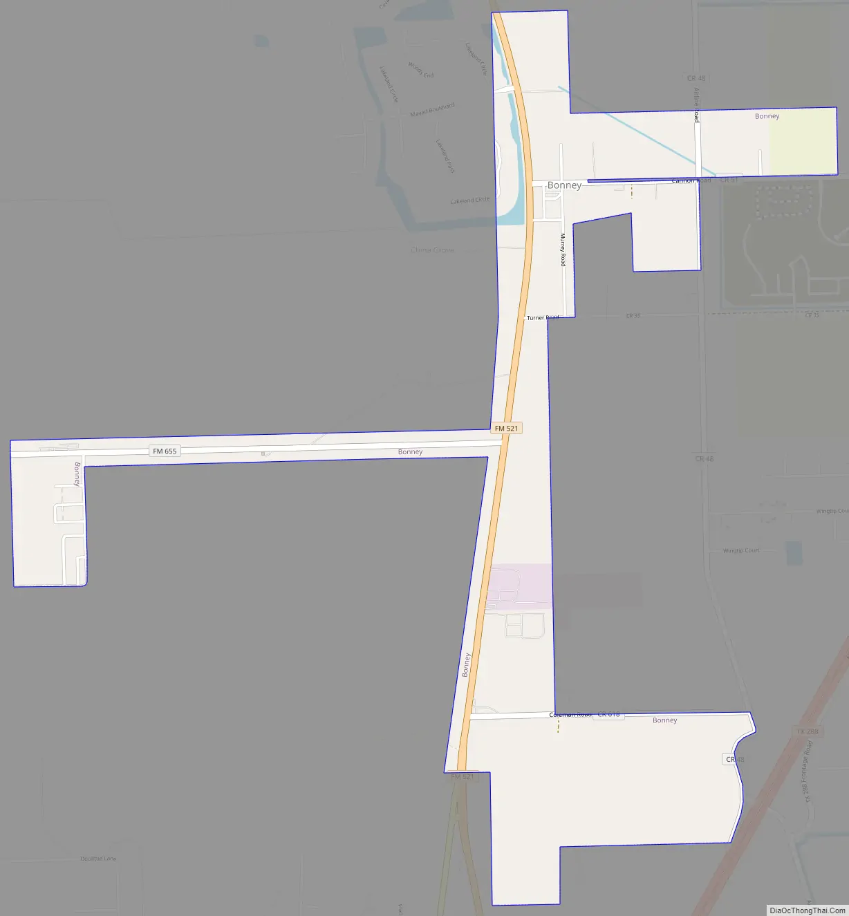
Bonney Road Map
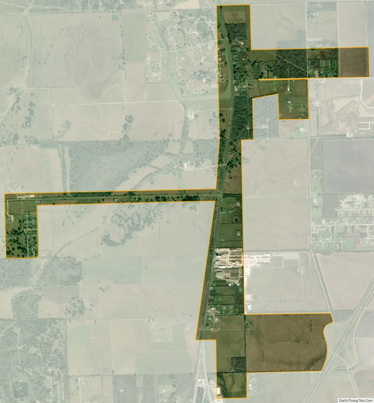
Bonney city Satellite Map
Geography
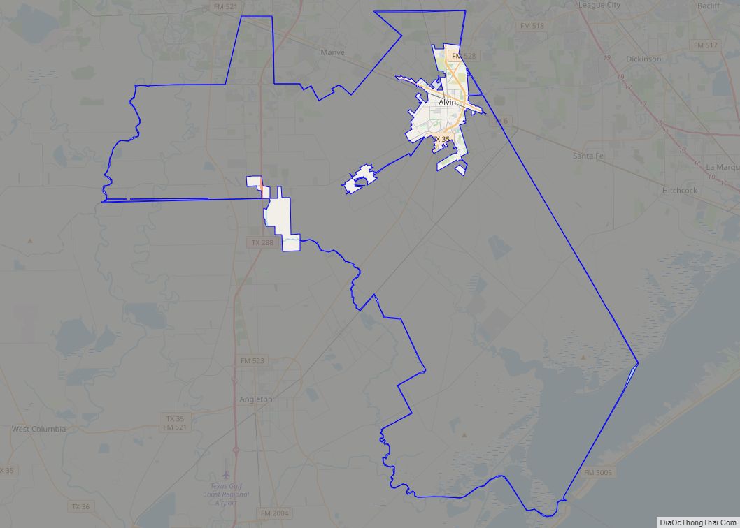
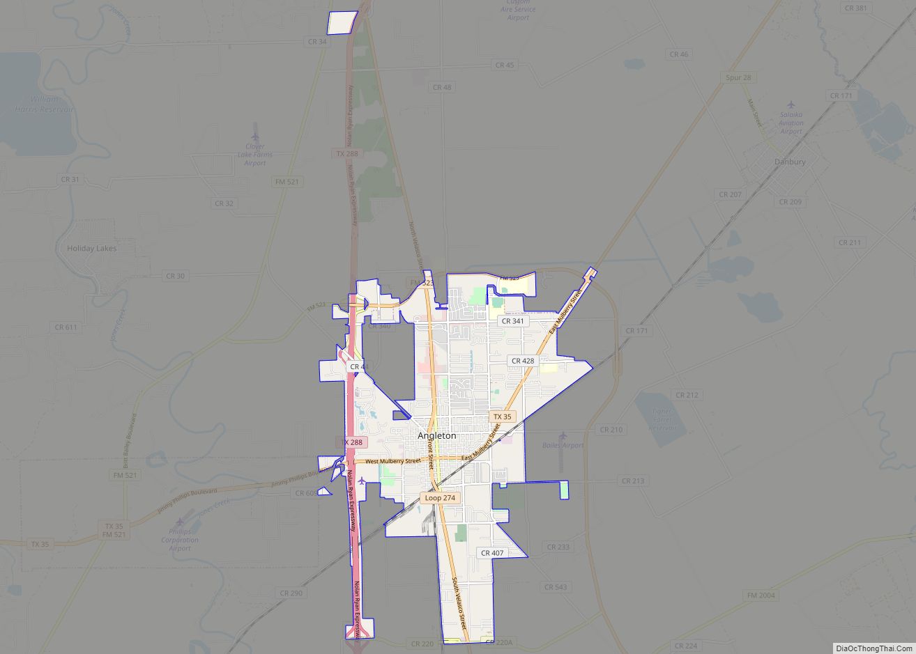
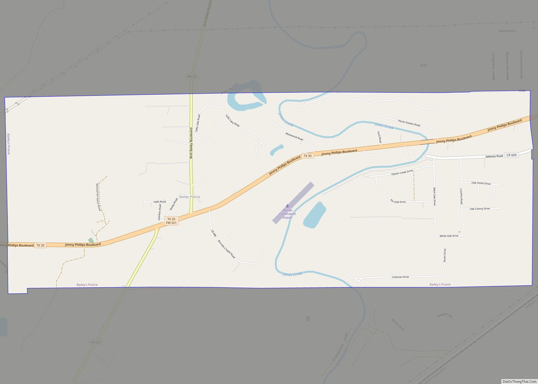
Bonney is located in north-central Brazoria County at 29°18′40″N 95°27′3″W / 29.31111°N 95.45083°W / 29.31111; -95.45083 (29.311069, –95.450918). It is 10 miles (16 km) north of Angleton, the county seat, and 13 miles (21 km) south of Arcola. Texas State Highway 288, a four-lane freeway, passes 1 mile (1.6 km) east of the village, leading 33 miles (53 km) north to downtown Houston.
According to the United States Census Bureau, Bonney has a total area of 1.7 square miles (4.3 km), all of it land.
See also
Map of Texas State and its subdivision:- Anderson
- Andrews
- Angelina
- Aransas
- Archer
- Armstrong
- Atascosa
- Austin
- Bailey
- Bandera
- Bastrop
- Baylor
- Bee
- Bell
- Bexar
- Blanco
- Borden
- Bosque
- Bowie
- Brazoria
- Brazos
- Brewster
- Briscoe
- Brooks
- Brown
- Burleson
- Burnet
- Caldwell
- Calhoun
- Callahan
- Cameron
- Camp
- Carson
- Cass
- Castro
- Chambers
- Cherokee
- Childress
- Clay
- Cochran
- Coke
- Coleman
- Collin
- Collingsworth
- Colorado
- Comal
- Comanche
- Concho
- Cooke
- Coryell
- Cottle
- Crane
- Crockett
- Crosby
- Culberson
- Dallam
- Dallas
- Dawson
- Deaf Smith
- Delta
- Denton
- Dewitt
- Dickens
- Dimmit
- Donley
- Duval
- Eastland
- Ector
- Edwards
- El Paso
- Ellis
- Erath
- Falls
- Fannin
- Fayette
- Fisher
- Floyd
- Foard
- Fort Bend
- Franklin
- Freestone
- Frio
- Gaines
- Galveston
- Garza
- Gillespie
- Glasscock
- Goliad
- Gonzales
- Gray
- Grayson
- Gregg
- Grimes
- Guadalupe
- Hale
- Hall
- Hamilton
- Hansford
- Hardeman
- Hardin
- Harris
- Harrison
- Hartley
- Haskell
- Hays
- Hemphill
- Henderson
- Hidalgo
- Hill
- Hockley
- Hood
- Hopkins
- Houston
- Howard
- Hudspeth
- Hunt
- Hutchinson
- Irion
- Jack
- Jackson
- Jasper
- Jeff Davis
- Jefferson
- Jim Hogg
- Jim Wells
- Johnson
- Jones
- Karnes
- Kaufman
- Kendall
- Kenedy
- Kent
- Kerr
- Kimble
- King
- Kinney
- Kleberg
- Knox
- La Salle
- Lamar
- Lamb
- Lampasas
- Lavaca
- Lee
- Leon
- Liberty
- Limestone
- Lipscomb
- Live Oak
- Llano
- Loving
- Lubbock
- Lynn
- Madison
- Marion
- Martin
- Mason
- Matagorda
- Maverick
- McCulloch
- McLennan
- McMullen
- Medina
- Menard
- Midland
- Milam
- Mills
- Mitchell
- Montague
- Montgomery
- Moore
- Morris
- Motley
- Nacogdoches
- Navarro
- Newton
- Nolan
- Nueces
- Ochiltree
- Oldham
- Orange
- Palo Pinto
- Panola
- Parker
- Parmer
- Pecos
- Polk
- Potter
- Presidio
- Rains
- Randall
- Reagan
- Real
- Red River
- Reeves
- Refugio
- Roberts
- Robertson
- Rockwall
- Runnels
- Rusk
- Sabine
- San Augustine
- San Jacinto
- San Patricio
- San Saba
- Schleicher
- Scurry
- Shackelford
- Shelby
- Sherman
- Smith
- Somervell
- Starr
- Stephens
- Sterling
- Stonewall
- Sutton
- Swisher
- Tarrant
- Taylor
- Terrell
- Terry
- Throckmorton
- Titus
- Tom Green
- Travis
- Trinity
- Tyler
- Upshur
- Upton
- Uvalde
- Val Verde
- Van Zandt
- Victoria
- Walker
- Waller
- Ward
- Washington
- Webb
- Wharton
- Wheeler
- Wichita
- Wilbarger
- Willacy
- Williamson
- Wilson
- Winkler
- Wise
- Wood
- Yoakum
- Young
- Zapata
- Zavala
- Alabama
- Alaska
- Arizona
- Arkansas
- California
- Colorado
- Connecticut
- Delaware
- District of Columbia
- Florida
- Georgia
- Hawaii
- Idaho
- Illinois
- Indiana
- Iowa
- Kansas
- Kentucky
- Louisiana
- Maine
- Maryland
- Massachusetts
- Michigan
- Minnesota
- Mississippi
- Missouri
- Montana
- Nebraska
- Nevada
- New Hampshire
- New Jersey
- New Mexico
- New York
- North Carolina
- North Dakota
- Ohio
- Oklahoma
- Oregon
- Pennsylvania
- Rhode Island
- South Carolina
- South Dakota
- Tennessee
- Texas
- Utah
- Vermont
- Virginia
- Washington
- West Virginia
- Wisconsin
- Wyoming