Brazoria (/brəˈzɔːriə/ brə-ZOR-ee-ə) is a city in the U.S. state of Texas, in the Houston–The Woodlands–Sugar Land metropolitan area and Brazoria County. As of the 2020 U.S. Census, the city population was 2,866.
| Name: | Brazoria city |
|---|---|
| LSAD Code: | 25 |
| LSAD Description: | city (suffix) |
| State: | Texas |
| County: | Brazoria County |
| Elevation: | 30 ft (9 m) |
| Total Area: | 2.70 sq mi (7.00 km²) |
| Land Area: | 2.70 sq mi (7.00 km²) |
| Water Area: | 0.00 sq mi (0.00 km²) |
| Total Population: | 2,866 |
| Population Density: | 1,130.18/sq mi (436.41/km²) |
| ZIP code: | 77422 |
| Area code: | 979 |
| FIPS code: | 4810072 |
| GNISfeature ID: | 1352845 |
| Website: | cityofbrazoria.org |
Online Interactive Map
Click on ![]() to view map in "full screen" mode.
to view map in "full screen" mode.
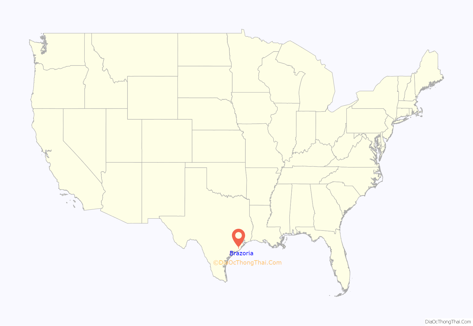
Brazoria location map. Where is Brazoria city?
History
Brazoria was founded in 1828 on land granted by Stephen F. Austin to John Austin, who laid out the town. The town’s name was selected by John Austin, “for the single reason that I know of none like it in the world”. Supposedly, the first Masonic lodge in Texas was founded in 1835 when six men met under the Masonic Oak in Brazoria. The following year, the town was nearly deserted during the Runaway Scrape. H. M. Shaw opened a school in Brazoria in 1838 and a post office opened in 1846. The community’s 1884 population was served by 12 general stores, five churches, three hotels, good schools, cotton gins, and sugar mills. By 1890 the town had become the county seat. Two years later the Velasco World weekly newspaper began publishing in the town.
However, the railroad bypassed Brazoria and it lost the county seat to Angleton in 1897. The town went into decline. The Brazoria school boasted three teachers and 142 students in 1906. The Banner weekly news started publishing in 1914. The local discovery of oil and sulphur in 1939 and the construction of a bridge across the Brazos River helped restore the town’s fortunes. By 1987 Brazoria counted 50 businesses. Brazoria celebrates Frontier Days in March, the No Name Festival in June, and the Santa Ana Ball in July.
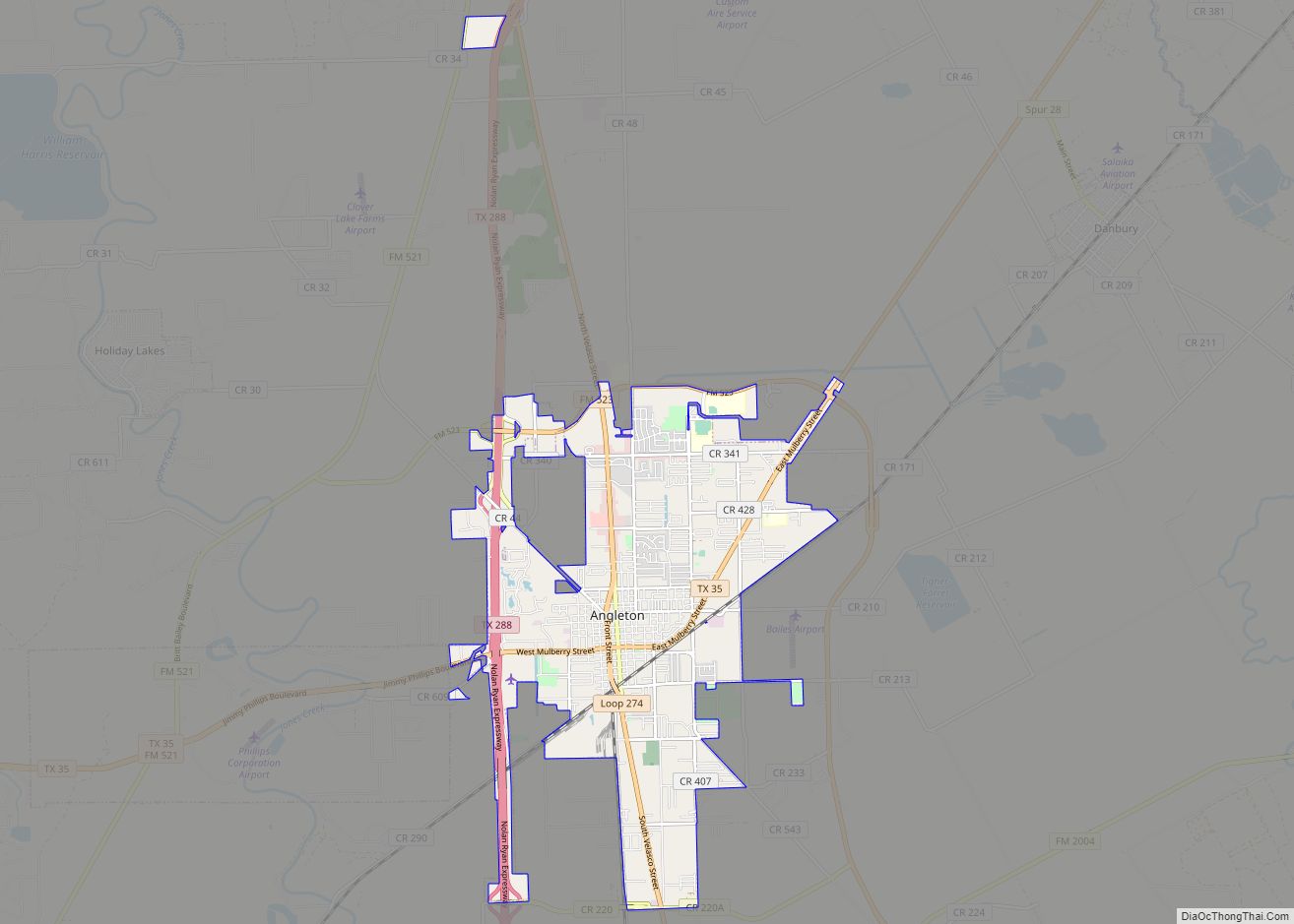
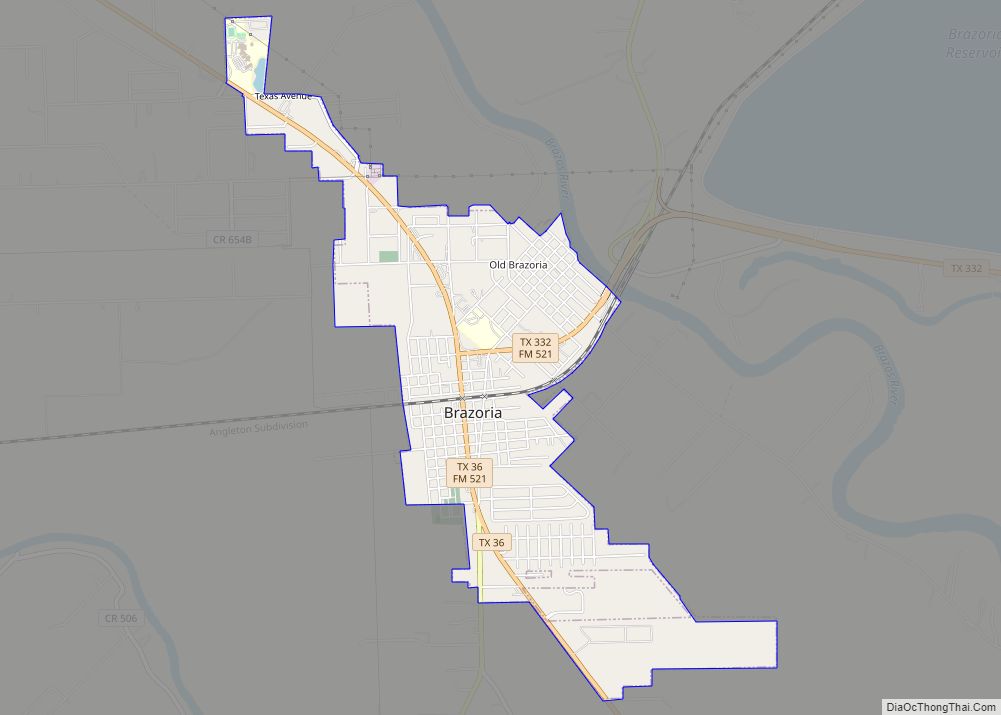
Brazoria Road Map
Brazoria city Satellite Map
Geography
Brazoria is located southwest of the center of Brazoria County at 29°2′50″N 95°34′3″W / 29.04722°N 95.56750°W / 29.04722; -95.56750 (29.047216, –95.567625). The northeast edge of the community, known as Old Brazoria, is located along the Brazos River. Texas State Highway 36 runs through the center of the city, leading southeast 16 miles (26 km) to Freeport and northwest 41 miles (66 km) to Rosenberg.
According to the United States Census Bureau, Brazoria has a total area of 2.6 square miles (6.8 km), all of it land.
See also
Map of Texas State and its subdivision:- Anderson
- Andrews
- Angelina
- Aransas
- Archer
- Armstrong
- Atascosa
- Austin
- Bailey
- Bandera
- Bastrop
- Baylor
- Bee
- Bell
- Bexar
- Blanco
- Borden
- Bosque
- Bowie
- Brazoria
- Brazos
- Brewster
- Briscoe
- Brooks
- Brown
- Burleson
- Burnet
- Caldwell
- Calhoun
- Callahan
- Cameron
- Camp
- Carson
- Cass
- Castro
- Chambers
- Cherokee
- Childress
- Clay
- Cochran
- Coke
- Coleman
- Collin
- Collingsworth
- Colorado
- Comal
- Comanche
- Concho
- Cooke
- Coryell
- Cottle
- Crane
- Crockett
- Crosby
- Culberson
- Dallam
- Dallas
- Dawson
- Deaf Smith
- Delta
- Denton
- Dewitt
- Dickens
- Dimmit
- Donley
- Duval
- Eastland
- Ector
- Edwards
- El Paso
- Ellis
- Erath
- Falls
- Fannin
- Fayette
- Fisher
- Floyd
- Foard
- Fort Bend
- Franklin
- Freestone
- Frio
- Gaines
- Galveston
- Garza
- Gillespie
- Glasscock
- Goliad
- Gonzales
- Gray
- Grayson
- Gregg
- Grimes
- Guadalupe
- Hale
- Hall
- Hamilton
- Hansford
- Hardeman
- Hardin
- Harris
- Harrison
- Hartley
- Haskell
- Hays
- Hemphill
- Henderson
- Hidalgo
- Hill
- Hockley
- Hood
- Hopkins
- Houston
- Howard
- Hudspeth
- Hunt
- Hutchinson
- Irion
- Jack
- Jackson
- Jasper
- Jeff Davis
- Jefferson
- Jim Hogg
- Jim Wells
- Johnson
- Jones
- Karnes
- Kaufman
- Kendall
- Kenedy
- Kent
- Kerr
- Kimble
- King
- Kinney
- Kleberg
- Knox
- La Salle
- Lamar
- Lamb
- Lampasas
- Lavaca
- Lee
- Leon
- Liberty
- Limestone
- Lipscomb
- Live Oak
- Llano
- Loving
- Lubbock
- Lynn
- Madison
- Marion
- Martin
- Mason
- Matagorda
- Maverick
- McCulloch
- McLennan
- McMullen
- Medina
- Menard
- Midland
- Milam
- Mills
- Mitchell
- Montague
- Montgomery
- Moore
- Morris
- Motley
- Nacogdoches
- Navarro
- Newton
- Nolan
- Nueces
- Ochiltree
- Oldham
- Orange
- Palo Pinto
- Panola
- Parker
- Parmer
- Pecos
- Polk
- Potter
- Presidio
- Rains
- Randall
- Reagan
- Real
- Red River
- Reeves
- Refugio
- Roberts
- Robertson
- Rockwall
- Runnels
- Rusk
- Sabine
- San Augustine
- San Jacinto
- San Patricio
- San Saba
- Schleicher
- Scurry
- Shackelford
- Shelby
- Sherman
- Smith
- Somervell
- Starr
- Stephens
- Sterling
- Stonewall
- Sutton
- Swisher
- Tarrant
- Taylor
- Terrell
- Terry
- Throckmorton
- Titus
- Tom Green
- Travis
- Trinity
- Tyler
- Upshur
- Upton
- Uvalde
- Val Verde
- Van Zandt
- Victoria
- Walker
- Waller
- Ward
- Washington
- Webb
- Wharton
- Wheeler
- Wichita
- Wilbarger
- Willacy
- Williamson
- Wilson
- Winkler
- Wise
- Wood
- Yoakum
- Young
- Zapata
- Zavala
- Alabama
- Alaska
- Arizona
- Arkansas
- California
- Colorado
- Connecticut
- Delaware
- District of Columbia
- Florida
- Georgia
- Hawaii
- Idaho
- Illinois
- Indiana
- Iowa
- Kansas
- Kentucky
- Louisiana
- Maine
- Maryland
- Massachusetts
- Michigan
- Minnesota
- Mississippi
- Missouri
- Montana
- Nebraska
- Nevada
- New Hampshire
- New Jersey
- New Mexico
- New York
- North Carolina
- North Dakota
- Ohio
- Oklahoma
- Oregon
- Pennsylvania
- Rhode Island
- South Carolina
- South Dakota
- Tennessee
- Texas
- Utah
- Vermont
- Virginia
- Washington
- West Virginia
- Wisconsin
- Wyoming
