Buda (/ˈbjuːdə/ BYOO-də) is a city in Hays County, Texas, United States. The population was 15,108 in 2020, up from 7,295 counted in 2010. Buda is part of the Austin-Round Rock-San Marcos metropolitan statistical area and is one of Austin’s fastest growing suburbs. Residents of Buda are referred to as Budans.
| Name: | Buda city |
|---|---|
| LSAD Code: | 25 |
| LSAD Description: | city (suffix) |
| State: | Texas |
| County: | Hays County |
| Elevation: | 702 ft (214 m) |
| Total Area: | 6.16 sq mi (15.94 km²) |
| Land Area: | 6.15 sq mi (15.93 km²) |
| Water Area: | 0.01 sq mi (0.02 km²) |
| Total Population: | 15,108 |
| Population Density: | 2,749.39/sq mi (1,061.60/km²) |
| ZIP code: | 78610 |
| Area code: | 512 & 737 |
| FIPS code: | 4811080 |
| GNISfeature ID: | 1331525 |
| Website: | www.ci.buda.tx.us |
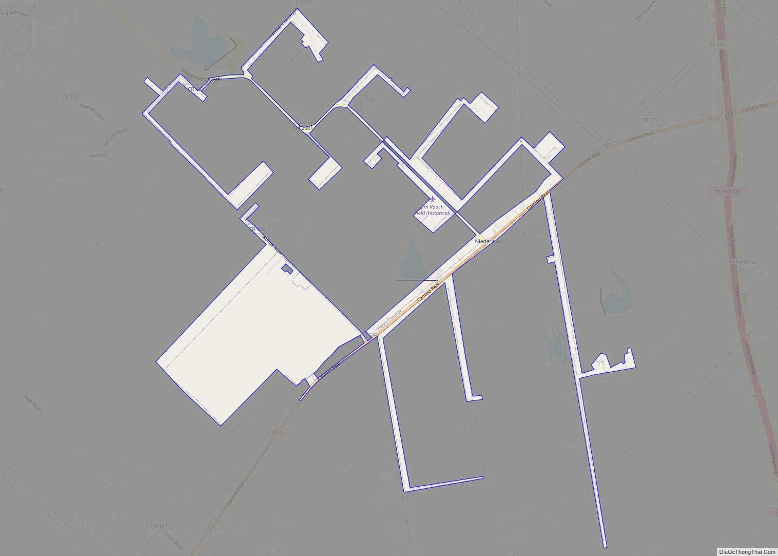
Online Interactive Map
Click on ![]() to view map in "full screen" mode.
to view map in "full screen" mode.
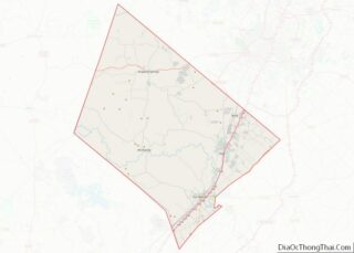
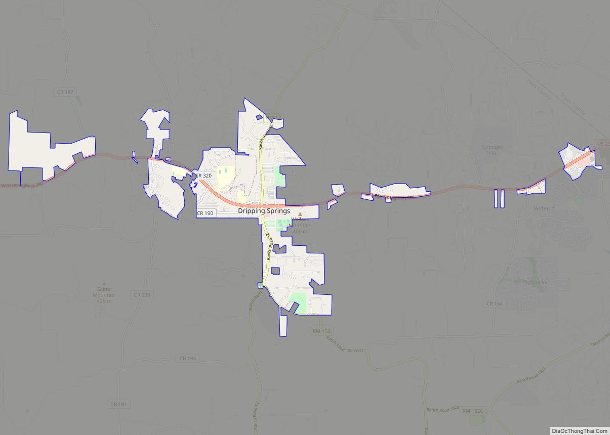
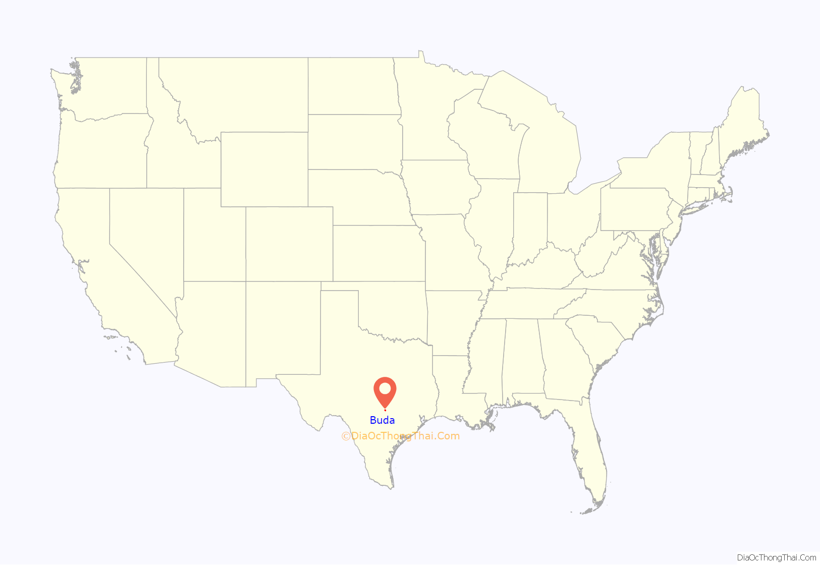
Buda location map. Where is Buda city?
History
The town of Buda sprang up along the route of the International-Great Northern Railroad, which was extended from Austin to San Antonio in 1880. Buda bore the name of “Du Pre” from its birth in 1881 until the autumn of 1887, when postal officials became aware that another Texas town was also named Du Pre. Cornelia Trimble platted the town of Du Pre on April 1, 1881, establishing streets and a 150-foot (46 m) wide “Reservation” between the lots and the railroad right of way, which allowed the railroad to place buildings on the parkland, including the depot that would become the lifeblood of the town over the next few decades. Several businesses sprang up, including the Carrington Hotel, which served meals to railroad travelers. By the time Du Pre found a new name for itself, the Carrington hotel was known as the “Buda House”. The “Dupre Notes” column of the Sept. 25, 1886, edition of the Hays County Times and Farmer’s Journal notes that “The Buda House is one of the best hotels in the state. The polite and entertaining hostess, Mrs. Carrington, meets all with a courteous welcome.” According to the town’s oral tradition, “Buda” is a corruption of the Spanish word viuda, or “widow”, referencing the widows who supposedly worked as cooks at the Carrington Hotel. Others suggest that like the town of Buda, Illinois, the town name is a nod to the exiles of the failed Hungarian Revolution of 1848 who settled in the area.
Buda was incorporated in 1948. By the mid-1980s it had attracted a cement plant and some craft industry.
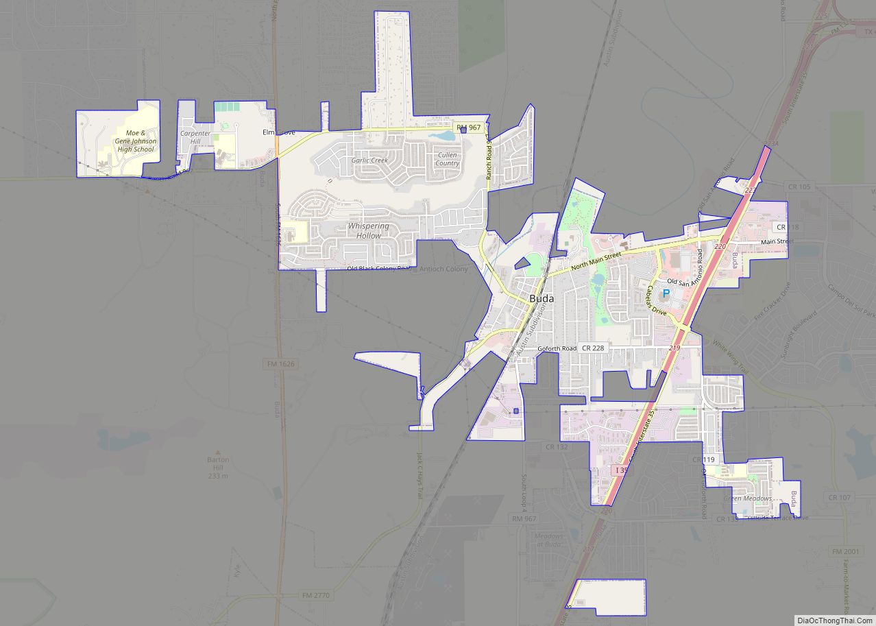
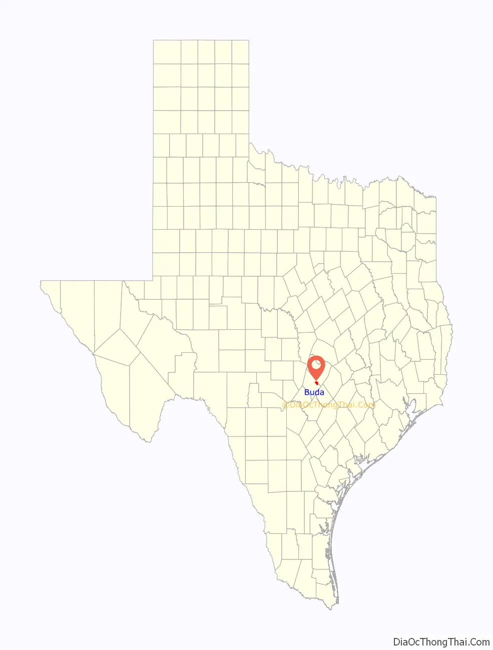
Buda Road Map
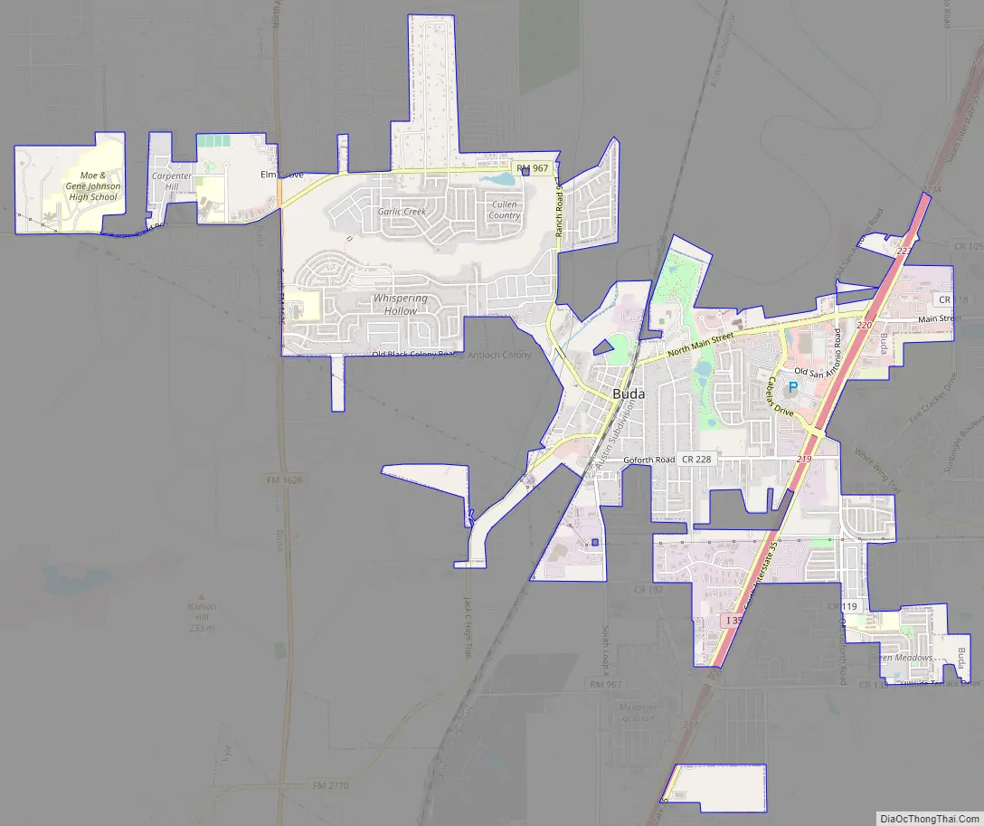
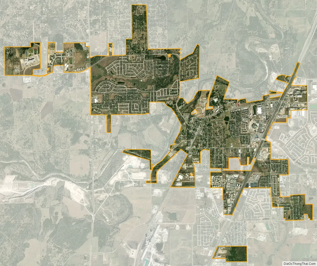
Buda city Satellite Map
Geography
Buda is in northeastern Hays County, at 30°05′03″N 97°50′21″W / 30.084229°N 97.839081°W / 30.084229; -97.839081 (30.084229, −97.839081). It is 15 miles (24 km) southwest of downtown Austin and 65 miles (105 km) northeast of San Antonio on Interstate 35. Just to the north of Buda is Texas State Highway 45, a major toll loop of Austin. Almost immediately north of Buda is the county line bordering Travis County and the Austin city limits.
According to the United States Census Bureau, Buda has a total area of 5.4 square miles (13.9 km), of which 0.01 square miles (0.02 km), or 0.11%, are water. Onion Creek flows through the northwest side of the city, a tributary of the Colorado River.
See also
Map of Texas State and its subdivision:- Anderson
- Andrews
- Angelina
- Aransas
- Archer
- Armstrong
- Atascosa
- Austin
- Bailey
- Bandera
- Bastrop
- Baylor
- Bee
- Bell
- Bexar
- Blanco
- Borden
- Bosque
- Bowie
- Brazoria
- Brazos
- Brewster
- Briscoe
- Brooks
- Brown
- Burleson
- Burnet
- Caldwell
- Calhoun
- Callahan
- Cameron
- Camp
- Carson
- Cass
- Castro
- Chambers
- Cherokee
- Childress
- Clay
- Cochran
- Coke
- Coleman
- Collin
- Collingsworth
- Colorado
- Comal
- Comanche
- Concho
- Cooke
- Coryell
- Cottle
- Crane
- Crockett
- Crosby
- Culberson
- Dallam
- Dallas
- Dawson
- Deaf Smith
- Delta
- Denton
- Dewitt
- Dickens
- Dimmit
- Donley
- Duval
- Eastland
- Ector
- Edwards
- El Paso
- Ellis
- Erath
- Falls
- Fannin
- Fayette
- Fisher
- Floyd
- Foard
- Fort Bend
- Franklin
- Freestone
- Frio
- Gaines
- Galveston
- Garza
- Gillespie
- Glasscock
- Goliad
- Gonzales
- Gray
- Grayson
- Gregg
- Grimes
- Guadalupe
- Hale
- Hall
- Hamilton
- Hansford
- Hardeman
- Hardin
- Harris
- Harrison
- Hartley
- Haskell
- Hays
- Hemphill
- Henderson
- Hidalgo
- Hill
- Hockley
- Hood
- Hopkins
- Houston
- Howard
- Hudspeth
- Hunt
- Hutchinson
- Irion
- Jack
- Jackson
- Jasper
- Jeff Davis
- Jefferson
- Jim Hogg
- Jim Wells
- Johnson
- Jones
- Karnes
- Kaufman
- Kendall
- Kenedy
- Kent
- Kerr
- Kimble
- King
- Kinney
- Kleberg
- Knox
- La Salle
- Lamar
- Lamb
- Lampasas
- Lavaca
- Lee
- Leon
- Liberty
- Limestone
- Lipscomb
- Live Oak
- Llano
- Loving
- Lubbock
- Lynn
- Madison
- Marion
- Martin
- Mason
- Matagorda
- Maverick
- McCulloch
- McLennan
- McMullen
- Medina
- Menard
- Midland
- Milam
- Mills
- Mitchell
- Montague
- Montgomery
- Moore
- Morris
- Motley
- Nacogdoches
- Navarro
- Newton
- Nolan
- Nueces
- Ochiltree
- Oldham
- Orange
- Palo Pinto
- Panola
- Parker
- Parmer
- Pecos
- Polk
- Potter
- Presidio
- Rains
- Randall
- Reagan
- Real
- Red River
- Reeves
- Refugio
- Roberts
- Robertson
- Rockwall
- Runnels
- Rusk
- Sabine
- San Augustine
- San Jacinto
- San Patricio
- San Saba
- Schleicher
- Scurry
- Shackelford
- Shelby
- Sherman
- Smith
- Somervell
- Starr
- Stephens
- Sterling
- Stonewall
- Sutton
- Swisher
- Tarrant
- Taylor
- Terrell
- Terry
- Throckmorton
- Titus
- Tom Green
- Travis
- Trinity
- Tyler
- Upshur
- Upton
- Uvalde
- Val Verde
- Van Zandt
- Victoria
- Walker
- Waller
- Ward
- Washington
- Webb
- Wharton
- Wheeler
- Wichita
- Wilbarger
- Willacy
- Williamson
- Wilson
- Winkler
- Wise
- Wood
- Yoakum
- Young
- Zapata
- Zavala
- Alabama
- Alaska
- Arizona
- Arkansas
- California
- Colorado
- Connecticut
- Delaware
- District of Columbia
- Florida
- Georgia
- Hawaii
- Idaho
- Illinois
- Indiana
- Iowa
- Kansas
- Kentucky
- Louisiana
- Maine
- Maryland
- Massachusetts
- Michigan
- Minnesota
- Mississippi
- Missouri
- Montana
- Nebraska
- Nevada
- New Hampshire
- New Jersey
- New Mexico
- New York
- North Carolina
- North Dakota
- Ohio
- Oklahoma
- Oregon
- Pennsylvania
- Rhode Island
- South Carolina
- South Dakota
- Tennessee
- Texas
- Utah
- Vermont
- Virginia
- Washington
- West Virginia
- Wisconsin
- Wyoming