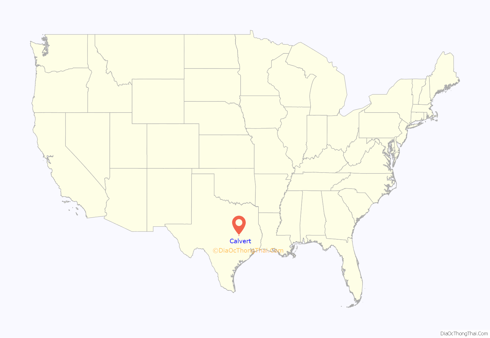
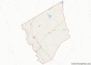
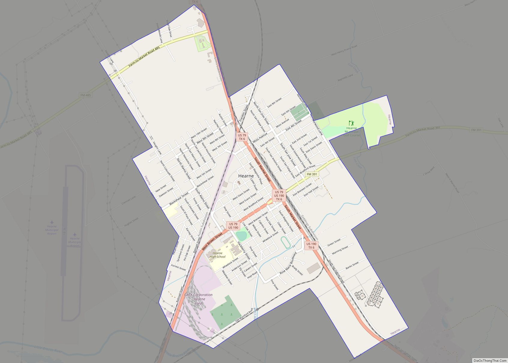
Calvert is a city in Robertson County, Texas, United States. As of the 2020 census, the city population was 962. It is located approximately halfway between Waco and Bryan-College Station at the intersection of Texas State Highway 6 and Farm to Market Roads 1644 and 979, on the Southern Pacific line nine miles north of Hearne in west central Robertson County. For the last 35 years, Calvert has enjoyed a relative success as an antique “capital”. The town is named for Robert Calvert, an early settler who served in the Texas Legislature representing Robertson and Milam Counties.
| Name: | Calvert city |
|---|---|
| LSAD Code: | 25 |
| LSAD Description: | city (suffix) |
| State: | Texas |
| County: | Robertson County |
| Elevation: | 328 ft (100 m) |
| Total Area: | 3.89 sq mi (10.07 km²) |
| Land Area: | 3.89 sq mi (10.07 km²) |
| Water Area: | 0.00 sq mi (0.00 km²) |
| Total Population: | 962 |
| Population Density: | 289.46/sq mi (111.76/km²) |
| ZIP code: | 77837 |
| Area code: | 979 |
| FIPS code: | 4811992 |
| GNISfeature ID: | 1353586 |
Online Interactive Map
Click on ![]() to view map in "full screen" mode.
to view map in "full screen" mode.
Calvert location map. Where is Calvert city?
History
Founding & coming of the railroads
The earliest known white settler in the area was Joseph Harlan, whose 1837 land grant laid five miles south of what is now the City of Calvert. In 1850, Robert Calvert, for whom the town was named, established a plantation west of the town. Calvert, who was a former Texas Representative and area farmer urged the Houston and Texas Central Railway to build through the area. The Houston and Texas Central Railroad agreed to stop in the town, at the encouragement of town leaders, in 1868.
In January 1868, a group of investors purchased land at the townsite and platted the community; by February of that year, merchants from the nearby communities including Sterling and Owensville were uprooting and moving to the community. A post office also opened in Calvert in 1868. The first trains arrived in Calvert in 1869, and the town was incorporated the next year with an aldermanic form of municipal government. Although the Stroud family owned most of the land, the town was named for Robert Calvert because he was a driving force behind getting the railroad to stop in the town. The order of election for the incorporation of Calvert was issued July 5, 1869, but a majority actually voted against incorporation. This election was set aside because it was believed that “a fair expression of the qualified voters was not had,” and a new election was held Saturday, July 24, 1869, a majority voted for incorporation, and the town was ordered incorporated on August 13, 1869.
After the railroad made Calvert the major trading center of the area, it was reported that:
Named as county seat
In 1870, as Reconstruction sparked political maneuvering in Robertson County, the former county seat of Owensville was replaced by Calvert. The town had been briefly occupied by federal troops early in 1870. Just nine years later, however, the voters of Robertson County voted to move the county seat to nearby Morgan.
Development & decline
By 1871, the town claimed to have the largest cotton gin in the world. However, sources differ on when, exactly, the gin was built. The Handbook of Texas cites the 1871 date, while a 1931 Frontier Times piece on Calvert places the building of the gin by John H. Gibson as 1876. Eventually, P.C. and J.H. Gibson, Jr., took over the gin. It had 21 stands and a connected oil mill. The gin served a significant portion of the Brazos River bottoms. 32,000 bales were reported received in 1882.
In 1873 a severe yellow fever epidemic killed many in the community, severely depopulating the town. An early judge, in speaking about the epidemic, noted:
A county jail was built in 1875. By 1878, Calvert had 52 businesses. Today, the city of Calvert still exists as a Texas municipality. As of 2016, the town’s mayor is Marcus D. Greaves.
Modern controversies
In December 2010, all three members of the town’s police department resigned over a conflict with the city council.
In June 2015, a TV station reported that cities of Calvert, Franklin, Hearne, Lott in a “Texas Triangle” were using their police departments to issue numerous speeding tickets to turn their municipal court into a “cash cow”.
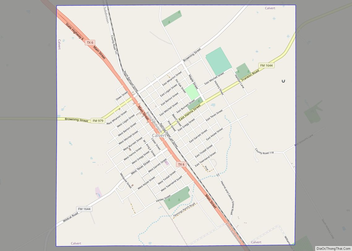
Calvert Road Map
Calvert city Satellite Map
See also
Map of Texas State and its subdivision:- Anderson
- Andrews
- Angelina
- Aransas
- Archer
- Armstrong
- Atascosa
- Austin
- Bailey
- Bandera
- Bastrop
- Baylor
- Bee
- Bell
- Bexar
- Blanco
- Borden
- Bosque
- Bowie
- Brazoria
- Brazos
- Brewster
- Briscoe
- Brooks
- Brown
- Burleson
- Burnet
- Caldwell
- Calhoun
- Callahan
- Cameron
- Camp
- Carson
- Cass
- Castro
- Chambers
- Cherokee
- Childress
- Clay
- Cochran
- Coke
- Coleman
- Collin
- Collingsworth
- Colorado
- Comal
- Comanche
- Concho
- Cooke
- Coryell
- Cottle
- Crane
- Crockett
- Crosby
- Culberson
- Dallam
- Dallas
- Dawson
- Deaf Smith
- Delta
- Denton
- Dewitt
- Dickens
- Dimmit
- Donley
- Duval
- Eastland
- Ector
- Edwards
- El Paso
- Ellis
- Erath
- Falls
- Fannin
- Fayette
- Fisher
- Floyd
- Foard
- Fort Bend
- Franklin
- Freestone
- Frio
- Gaines
- Galveston
- Garza
- Gillespie
- Glasscock
- Goliad
- Gonzales
- Gray
- Grayson
- Gregg
- Grimes
- Guadalupe
- Hale
- Hall
- Hamilton
- Hansford
- Hardeman
- Hardin
- Harris
- Harrison
- Hartley
- Haskell
- Hays
- Hemphill
- Henderson
- Hidalgo
- Hill
- Hockley
- Hood
- Hopkins
- Houston
- Howard
- Hudspeth
- Hunt
- Hutchinson
- Irion
- Jack
- Jackson
- Jasper
- Jeff Davis
- Jefferson
- Jim Hogg
- Jim Wells
- Johnson
- Jones
- Karnes
- Kaufman
- Kendall
- Kenedy
- Kent
- Kerr
- Kimble
- King
- Kinney
- Kleberg
- Knox
- La Salle
- Lamar
- Lamb
- Lampasas
- Lavaca
- Lee
- Leon
- Liberty
- Limestone
- Lipscomb
- Live Oak
- Llano
- Loving
- Lubbock
- Lynn
- Madison
- Marion
- Martin
- Mason
- Matagorda
- Maverick
- McCulloch
- McLennan
- McMullen
- Medina
- Menard
- Midland
- Milam
- Mills
- Mitchell
- Montague
- Montgomery
- Moore
- Morris
- Motley
- Nacogdoches
- Navarro
- Newton
- Nolan
- Nueces
- Ochiltree
- Oldham
- Orange
- Palo Pinto
- Panola
- Parker
- Parmer
- Pecos
- Polk
- Potter
- Presidio
- Rains
- Randall
- Reagan
- Real
- Red River
- Reeves
- Refugio
- Roberts
- Robertson
- Rockwall
- Runnels
- Rusk
- Sabine
- San Augustine
- San Jacinto
- San Patricio
- San Saba
- Schleicher
- Scurry
- Shackelford
- Shelby
- Sherman
- Smith
- Somervell
- Starr
- Stephens
- Sterling
- Stonewall
- Sutton
- Swisher
- Tarrant
- Taylor
- Terrell
- Terry
- Throckmorton
- Titus
- Tom Green
- Travis
- Trinity
- Tyler
- Upshur
- Upton
- Uvalde
- Val Verde
- Van Zandt
- Victoria
- Walker
- Waller
- Ward
- Washington
- Webb
- Wharton
- Wheeler
- Wichita
- Wilbarger
- Willacy
- Williamson
- Wilson
- Winkler
- Wise
- Wood
- Yoakum
- Young
- Zapata
- Zavala
- Alabama
- Alaska
- Arizona
- Arkansas
- California
- Colorado
- Connecticut
- Delaware
- District of Columbia
- Florida
- Georgia
- Hawaii
- Idaho
- Illinois
- Indiana
- Iowa
- Kansas
- Kentucky
- Louisiana
- Maine
- Maryland
- Massachusetts
- Michigan
- Minnesota
- Mississippi
- Missouri
- Montana
- Nebraska
- Nevada
- New Hampshire
- New Jersey
- New Mexico
- New York
- North Carolina
- North Dakota
- Ohio
- Oklahoma
- Oregon
- Pennsylvania
- Rhode Island
- South Carolina
- South Dakota
- Tennessee
- Texas
- Utah
- Vermont
- Virginia
- Washington
- West Virginia
- Wisconsin
- Wyoming
