Corsicana is a city in Navarro County, Texas, United States. It is located on Interstate 45, 56 miles northeast of Waco, Texas. Its population was 25,109 at the 2020 census. It is the county seat of Navarro County, and an important agribusiness center.
| Name: | Corsicana city |
|---|---|
| LSAD Code: | 25 |
| LSAD Description: | city (suffix) |
| State: | Texas |
| County: | Navarro County |
| Elevation: | 443 ft (135 m) |
| Total Area: | 24.00 sq mi (62.17 km²) |
| Land Area: | 22.98 sq mi (59.53 km²) |
| Water Area: | 1.02 sq mi (2.64 km²) |
| Total Population: | 25,109 |
| Population Density: | 1,040.07/sq mi (401.57/km²) |
| ZIP code: | 75109, 75110, 75151 |
| Area code: | 903/430 |
| FIPS code: | 4817060 |
| GNISfeature ID: | 1333395 |
| Website: | cityofcorsicana.com |
Online Interactive Map
Click on ![]() to view map in "full screen" mode.
to view map in "full screen" mode.
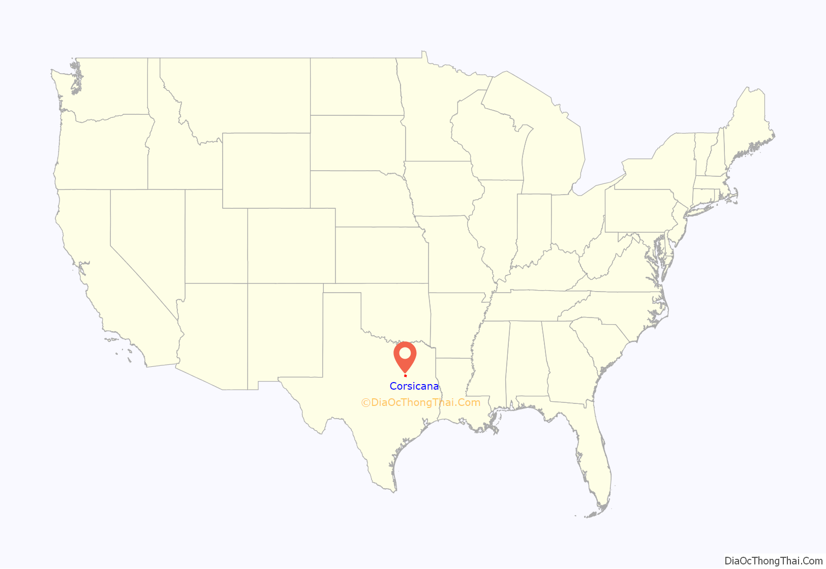
Corsicana location map. Where is Corsicana city?
History
Founded in 1848, Corsicana was named by José Antonio Navarro after the Mediterranean island of Corsica, the birthplace of his father. He had died when Navarro and his many siblings were young. The first school opened shortly afterwards in 1849.
Women’s groups have had a strong role throughout the history of the city. They established the Corsicana Female Literary Institute, a school that operated from 1857 through 1870. The first public library in Corsicana opened in 1901 by effort of the women’s clubs of the city. A 1905 library matching gift by Andrew Carnegie gave the library a permanent home and its first full-time, professionally trained librarian. The library today is housed in a dedicated building downtown and boasts more than 52,283 books, 6,306 audio materials, 783 video materials, and 122 serial subscriptions.
The Corsicana Jewish community dates from 1871; they established the 1898 Moorish Revival architectural styled Temple Beth-El, Corsicana. Few Jewish residents live here today, and the congregation sold the temple. The Historical Society has adapted the temple for use as a community center.
The Corsicana YMCA was founded in 1884, and has grown with patron funding. In its earliest days, it was supported by George Taylor Jester (1847–1922), a wealthy dry-goods and cotton distributor, banker, and politician. He served as lieutenant governor of Texas (1895–1899), and his son Beauford H. Jester served as governor (1947–1949).
Oil was accidentally discovered in June, 1894, by the American Well and Prospecting Company, hired by the Corsicana Water Development Company, when oil seeped into an artesian well being drilled within the city limits. In October 1895, the first commercial oil well was drilled by the Corsicana Oil Development Company, founded by Ralph Beaton, H.G. Damon, and John Davidson. It was the first commercially significant oilfield find in Texas. A refinery was in operation by January 1899, through the efforts of Joseph S. Cullinan. The Powell oil field was discovered in 1900, a few miles east of Corsicana. Rotary drilling, used to drill water wells, was introduced to the oil industry by M.C. Baker and C.E. Baker, with tools manufactured by the American Well and Prospecting machine shop, owned by N.G. Johnson, E.H. Akin, and Charles Rittersbacker.
During World War II, an airman flying school called Corsicana Air Field trained thousands of pilots.
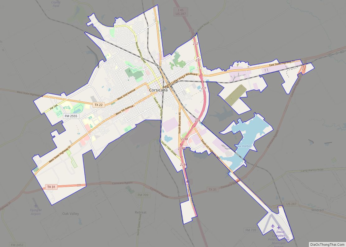
Corsicana Road Map
Corsicana city Satellite Map
Geography
Corsicana is located at 32°5′33″N 96°28′10″W / 32.09250°N 96.46944°W / 32.09250; -96.46944 (32.092480, –96.469407).
According to the United States Census Bureau, the city has a total area of 21.7 square miles (56 km), of which 1.0 square mile (2.6 km) is covered by water.
Corsicana is home to the Lake Halbert dam and recreational park, and is less than 15 mi (24 km) from Richland Chambers Reservoir, with recreational fishing, public boat ramps, and 330 mi (530 km) of tree-lined and green shorelines. Richland Chambers Reservoir is the third-largest lake by surface area and the eighth-largest reservoir by water volume in Texas.
Climate
Corsicana has a moderate humid subtropical climate. The range of low-high average temperatures in January, April, July, and October is 34/55, 53/75, 73/95, and 55/79 °F, respectively.
Corsicana rainfall averages 42.23 inches (1,073 mm) per year. Leafy oak, pecan, magnolia, and walnut trees are common, and grasses grow tall and green. Rain is fairly evenly distributed throughout the year, with small, wetter peaks in May and October.
See also
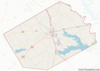
Map of Texas State and its subdivision:- Anderson
- Andrews
- Angelina
- Aransas
- Archer
- Armstrong
- Atascosa
- Austin
- Bailey
- Bandera
- Bastrop
- Baylor
- Bee
- Bell
- Bexar
- Blanco
- Borden
- Bosque
- Bowie
- Brazoria
- Brazos
- Brewster
- Briscoe
- Brooks
- Brown
- Burleson
- Burnet
- Caldwell
- Calhoun
- Callahan
- Cameron
- Camp
- Carson
- Cass
- Castro
- Chambers
- Cherokee
- Childress
- Clay
- Cochran
- Coke
- Coleman
- Collin
- Collingsworth
- Colorado
- Comal
- Comanche
- Concho
- Cooke
- Coryell
- Cottle
- Crane
- Crockett
- Crosby
- Culberson
- Dallam
- Dallas
- Dawson
- Deaf Smith
- Delta
- Denton
- Dewitt
- Dickens
- Dimmit
- Donley
- Duval
- Eastland
- Ector
- Edwards
- El Paso
- Ellis
- Erath
- Falls
- Fannin
- Fayette
- Fisher
- Floyd
- Foard
- Fort Bend
- Franklin
- Freestone
- Frio
- Gaines
- Galveston
- Garza
- Gillespie
- Glasscock
- Goliad
- Gonzales
- Gray
- Grayson
- Gregg
- Grimes
- Guadalupe
- Hale
- Hall
- Hamilton
- Hansford
- Hardeman
- Hardin
- Harris
- Harrison
- Hartley
- Haskell
- Hays
- Hemphill
- Henderson
- Hidalgo
- Hill
- Hockley
- Hood
- Hopkins
- Houston
- Howard
- Hudspeth
- Hunt
- Hutchinson
- Irion
- Jack
- Jackson
- Jasper
- Jeff Davis
- Jefferson
- Jim Hogg
- Jim Wells
- Johnson
- Jones
- Karnes
- Kaufman
- Kendall
- Kenedy
- Kent
- Kerr
- Kimble
- King
- Kinney
- Kleberg
- Knox
- La Salle
- Lamar
- Lamb
- Lampasas
- Lavaca
- Lee
- Leon
- Liberty
- Limestone
- Lipscomb
- Live Oak
- Llano
- Loving
- Lubbock
- Lynn
- Madison
- Marion
- Martin
- Mason
- Matagorda
- Maverick
- McCulloch
- McLennan
- McMullen
- Medina
- Menard
- Midland
- Milam
- Mills
- Mitchell
- Montague
- Montgomery
- Moore
- Morris
- Motley
- Nacogdoches
- Navarro
- Newton
- Nolan
- Nueces
- Ochiltree
- Oldham
- Orange
- Palo Pinto
- Panola
- Parker
- Parmer
- Pecos
- Polk
- Potter
- Presidio
- Rains
- Randall
- Reagan
- Real
- Red River
- Reeves
- Refugio
- Roberts
- Robertson
- Rockwall
- Runnels
- Rusk
- Sabine
- San Augustine
- San Jacinto
- San Patricio
- San Saba
- Schleicher
- Scurry
- Shackelford
- Shelby
- Sherman
- Smith
- Somervell
- Starr
- Stephens
- Sterling
- Stonewall
- Sutton
- Swisher
- Tarrant
- Taylor
- Terrell
- Terry
- Throckmorton
- Titus
- Tom Green
- Travis
- Trinity
- Tyler
- Upshur
- Upton
- Uvalde
- Val Verde
- Van Zandt
- Victoria
- Walker
- Waller
- Ward
- Washington
- Webb
- Wharton
- Wheeler
- Wichita
- Wilbarger
- Willacy
- Williamson
- Wilson
- Winkler
- Wise
- Wood
- Yoakum
- Young
- Zapata
- Zavala
- Alabama
- Alaska
- Arizona
- Arkansas
- California
- Colorado
- Connecticut
- Delaware
- District of Columbia
- Florida
- Georgia
- Hawaii
- Idaho
- Illinois
- Indiana
- Iowa
- Kansas
- Kentucky
- Louisiana
- Maine
- Maryland
- Massachusetts
- Michigan
- Minnesota
- Mississippi
- Missouri
- Montana
- Nebraska
- Nevada
- New Hampshire
- New Jersey
- New Mexico
- New York
- North Carolina
- North Dakota
- Ohio
- Oklahoma
- Oregon
- Pennsylvania
- Rhode Island
- South Carolina
- South Dakota
- Tennessee
- Texas
- Utah
- Vermont
- Virginia
- Washington
- West Virginia
- Wisconsin
- Wyoming
