Fabens is a census-designated place (CDP) in El Paso County, Texas, United States. The population was 8,257 at the 2010 census. It is part of the El Paso Metropolitan Statistical Area. The ZIP Codes encompassing the CDP area are 79836 and 79838.
Fabens is the birthplace of jockey Bill Shoemaker.
| Name: | Fabens CDP |
|---|---|
| LSAD Code: | 57 |
| LSAD Description: | CDP (suffix) |
| State: | Texas |
| County: | El Paso County |
| Elevation: | 3,615 ft (1,102 m) |
| Total Area: | 4.35 sq mi (11.26 km²) |
| Land Area: | 4.32 sq mi (11.20 km²) |
| Water Area: | 0.02 sq mi (0.06 km²) |
| Total Population: | 8,257 |
| Population Density: | 1,900/sq mi (730/km²) |
| ZIP code: | 79836 & 79838 |
| Area code: | 915 |
| FIPS code: | 4825032 |
| GNISfeature ID: | 1357151 |
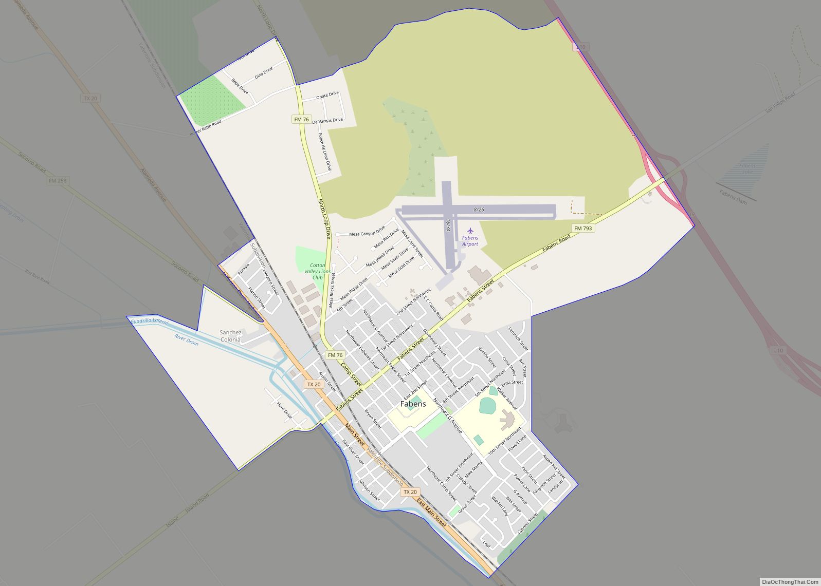
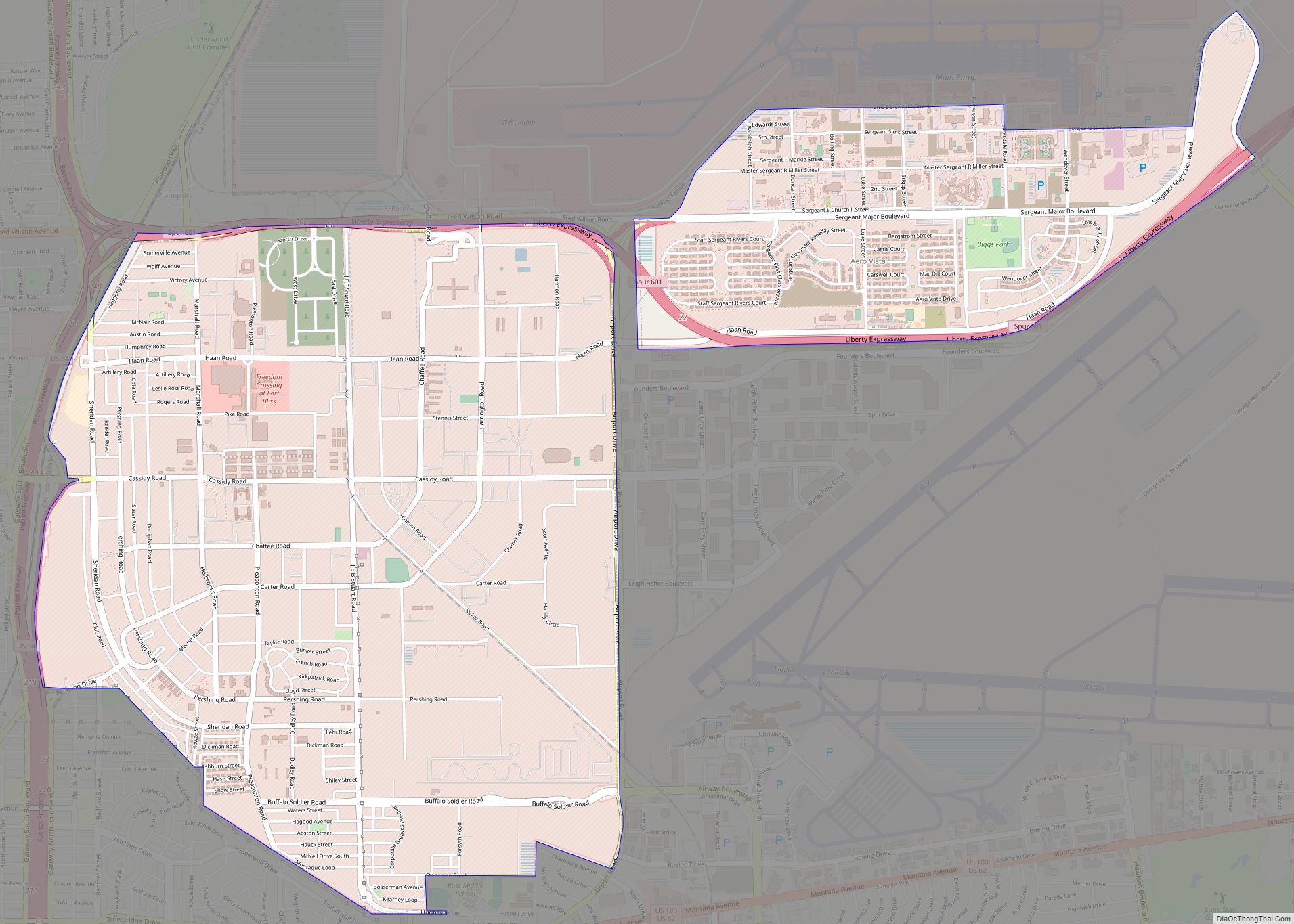
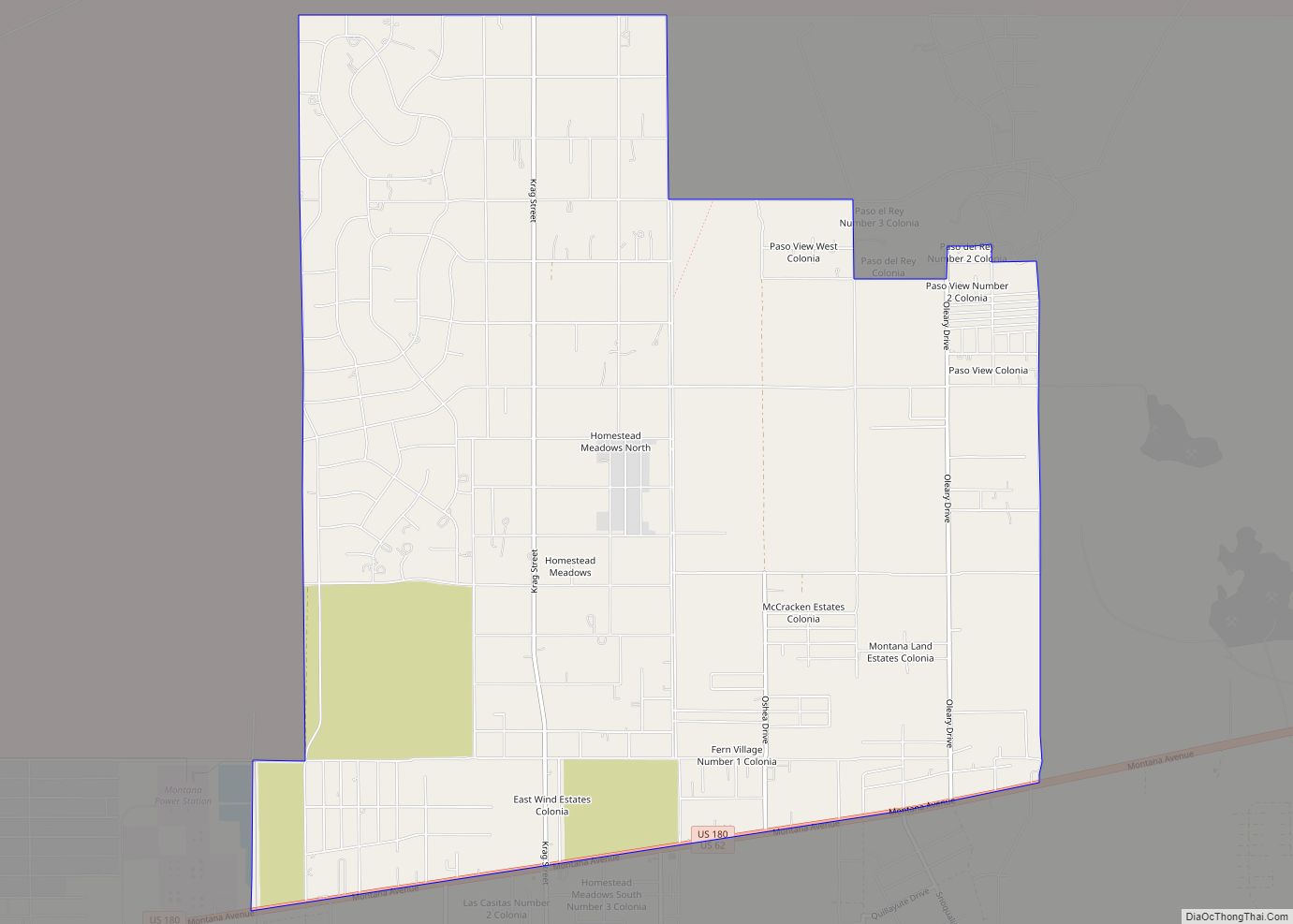
Online Interactive Map
Click on ![]() to view map in "full screen" mode.
to view map in "full screen" mode.
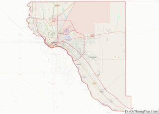
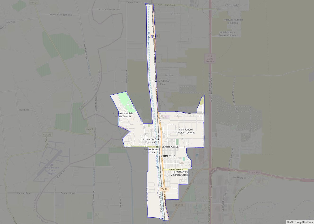
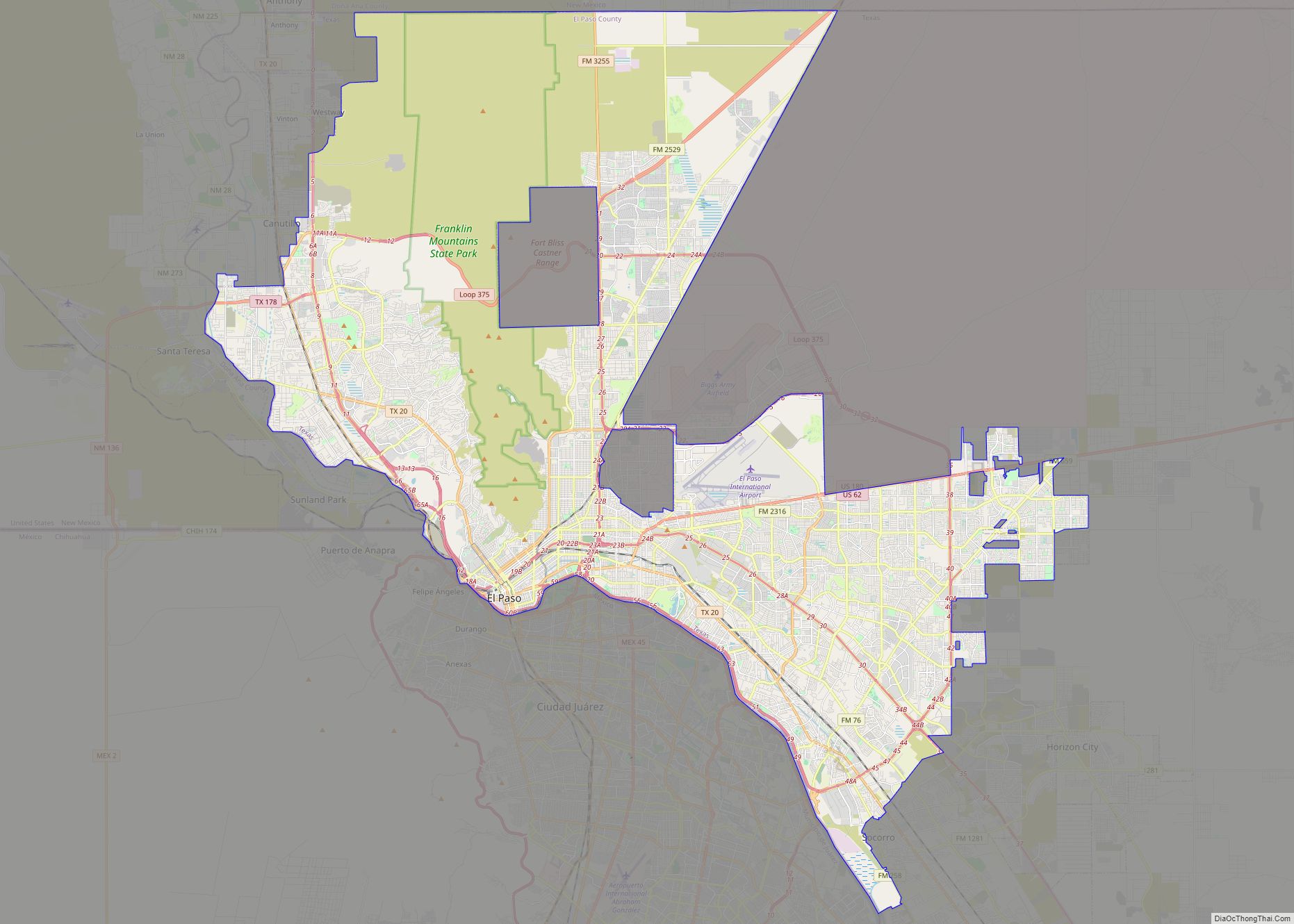
Fabens location map. Where is Fabens CDP?


History
The city name of Fabens comes from attorney George Wilson Fabens, who worked for the Southern Pacific Railroad. He was the assistant land commissioner for the Southern Pacific Lines in Texas and Louisiana. As the railroad was being built, new towns were named after railroad officers.
Mr. Fabens was born on October 29, 1857, in Marblehead, Massachusetts. He was one of 7 siblings. He died in Marblehead on November 17, 1939, at age 82. His parents were Captain Samuel Augustus Fabens and Mary Glover Wilson Fabens.
Film location
In April 1972, Fabens served as a location for the filming of the Sam Peckinpah film The Getaway. The crime drama, starring Steve McQueen and Ali MacGraw, was replete with explosions, car chases and intense shootouts. The film would become Peckinpah’s and McQueen’s biggest financial success to date, earning more than $25 million at the box office.
Medical Services
One of the earliest medical doctors residing in Fabens was Dr. Donald Higdon. His family settled there in 1954 when the population of Fabens was about 2500. He both lived in Fabens and served the community.
As a general practitioner, he was the primary physician in the relatively rural area. Dr. Higdon was well known for his reputation for birthing babies in the area, traveling to the houses of expectant mothers to provide his services to the many who could not afford delivery in a hospital. His numerical record of assisting at births set records for El Paso County and west Texas.
He served as the team doctor for the Fabens High School Wildcats during his time in Fabens.
2005 border incident
On February 17, 2005, Fabens was the nearest location to a border incident that made national headlines, when Border Patrol agents Ignacio Ramos and Jose Compean were convicted and sentenced to prison terms in excess of ten years for shooting Osbaldo Aldrete-Davila, an undocumented immigrant and alleged drug smuggler who was unarmed when he was shot. Aldrete-Davila was then given immunity for his testimony and sued the border patrol for $5 million for violation of his civil rights.
Former Border Patrol agents Ramos and Compean had their sentences commuted by President George W. Bush during his last full day in office on January 19, 2009, although they did not receive a pardon for their convictions. They were expected to be released from prison on March 20, 2009.
In addition, he was the on-call local physician and answered many emergency calls for assistance.
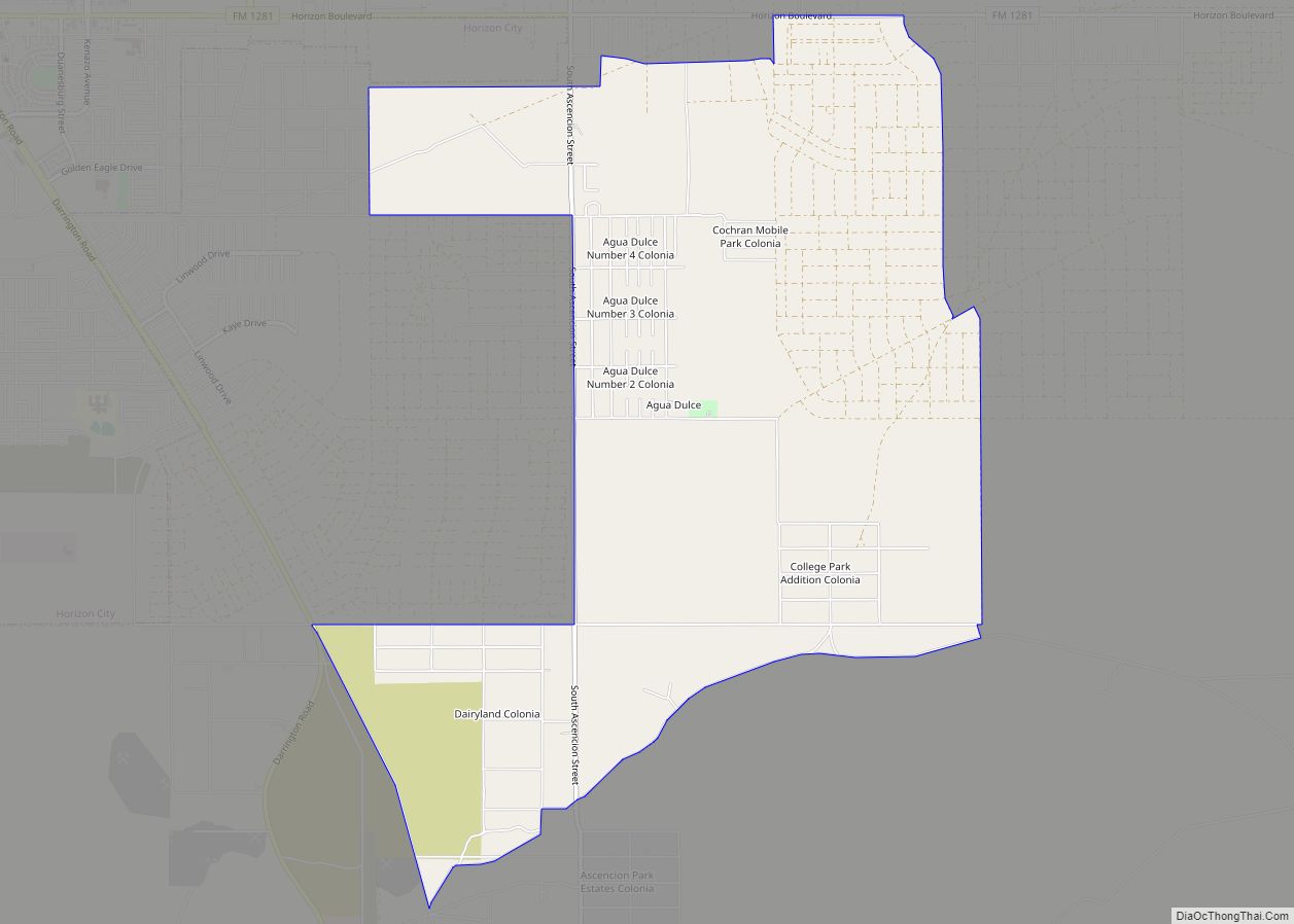
Fabens Road Map

Fabens city Satellite Map

Geography
Fabens is located at 31°30′18″N 106°9′15″W / 31.50500°N 106.15417°W / 31.50500; -106.15417 (31.505072, -106.154129). According to the United States Census Bureau, the CDP has a total area of 4.35 square miles (11.26 km), of which 4.32 square miles (11.20 km) is land and 0.023 square miles (0.06 km), or 0.52%, is water.
Fabens is about 30 miles (48 km) southeast of El Paso along the Rio Grande and Interstate Highway 10. Most visitors only stop for short periods of time to eat at one of the several restaurants or stay overnight in the hotel.
See also
Map of Texas State and its subdivision:- Anderson
- Andrews
- Angelina
- Aransas
- Archer
- Armstrong
- Atascosa
- Austin
- Bailey
- Bandera
- Bastrop
- Baylor
- Bee
- Bell
- Bexar
- Blanco
- Borden
- Bosque
- Bowie
- Brazoria
- Brazos
- Brewster
- Briscoe
- Brooks
- Brown
- Burleson
- Burnet
- Caldwell
- Calhoun
- Callahan
- Cameron
- Camp
- Carson
- Cass
- Castro
- Chambers
- Cherokee
- Childress
- Clay
- Cochran
- Coke
- Coleman
- Collin
- Collingsworth
- Colorado
- Comal
- Comanche
- Concho
- Cooke
- Coryell
- Cottle
- Crane
- Crockett
- Crosby
- Culberson
- Dallam
- Dallas
- Dawson
- Deaf Smith
- Delta
- Denton
- Dewitt
- Dickens
- Dimmit
- Donley
- Duval
- Eastland
- Ector
- Edwards
- El Paso
- Ellis
- Erath
- Falls
- Fannin
- Fayette
- Fisher
- Floyd
- Foard
- Fort Bend
- Franklin
- Freestone
- Frio
- Gaines
- Galveston
- Garza
- Gillespie
- Glasscock
- Goliad
- Gonzales
- Gray
- Grayson
- Gregg
- Grimes
- Guadalupe
- Hale
- Hall
- Hamilton
- Hansford
- Hardeman
- Hardin
- Harris
- Harrison
- Hartley
- Haskell
- Hays
- Hemphill
- Henderson
- Hidalgo
- Hill
- Hockley
- Hood
- Hopkins
- Houston
- Howard
- Hudspeth
- Hunt
- Hutchinson
- Irion
- Jack
- Jackson
- Jasper
- Jeff Davis
- Jefferson
- Jim Hogg
- Jim Wells
- Johnson
- Jones
- Karnes
- Kaufman
- Kendall
- Kenedy
- Kent
- Kerr
- Kimble
- King
- Kinney
- Kleberg
- Knox
- La Salle
- Lamar
- Lamb
- Lampasas
- Lavaca
- Lee
- Leon
- Liberty
- Limestone
- Lipscomb
- Live Oak
- Llano
- Loving
- Lubbock
- Lynn
- Madison
- Marion
- Martin
- Mason
- Matagorda
- Maverick
- McCulloch
- McLennan
- McMullen
- Medina
- Menard
- Midland
- Milam
- Mills
- Mitchell
- Montague
- Montgomery
- Moore
- Morris
- Motley
- Nacogdoches
- Navarro
- Newton
- Nolan
- Nueces
- Ochiltree
- Oldham
- Orange
- Palo Pinto
- Panola
- Parker
- Parmer
- Pecos
- Polk
- Potter
- Presidio
- Rains
- Randall
- Reagan
- Real
- Red River
- Reeves
- Refugio
- Roberts
- Robertson
- Rockwall
- Runnels
- Rusk
- Sabine
- San Augustine
- San Jacinto
- San Patricio
- San Saba
- Schleicher
- Scurry
- Shackelford
- Shelby
- Sherman
- Smith
- Somervell
- Starr
- Stephens
- Sterling
- Stonewall
- Sutton
- Swisher
- Tarrant
- Taylor
- Terrell
- Terry
- Throckmorton
- Titus
- Tom Green
- Travis
- Trinity
- Tyler
- Upshur
- Upton
- Uvalde
- Val Verde
- Van Zandt
- Victoria
- Walker
- Waller
- Ward
- Washington
- Webb
- Wharton
- Wheeler
- Wichita
- Wilbarger
- Willacy
- Williamson
- Wilson
- Winkler
- Wise
- Wood
- Yoakum
- Young
- Zapata
- Zavala
- Alabama
- Alaska
- Arizona
- Arkansas
- California
- Colorado
- Connecticut
- Delaware
- District of Columbia
- Florida
- Georgia
- Hawaii
- Idaho
- Illinois
- Indiana
- Iowa
- Kansas
- Kentucky
- Louisiana
- Maine
- Maryland
- Massachusetts
- Michigan
- Minnesota
- Mississippi
- Missouri
- Montana
- Nebraska
- Nevada
- New Hampshire
- New Jersey
- New Mexico
- New York
- North Carolina
- North Dakota
- Ohio
- Oklahoma
- Oregon
- Pennsylvania
- Rhode Island
- South Carolina
- South Dakota
- Tennessee
- Texas
- Utah
- Vermont
- Virginia
- Washington
- West Virginia
- Wisconsin
- Wyoming